DAY 22:
from OAXACA to TEQUISQUIAPAN!
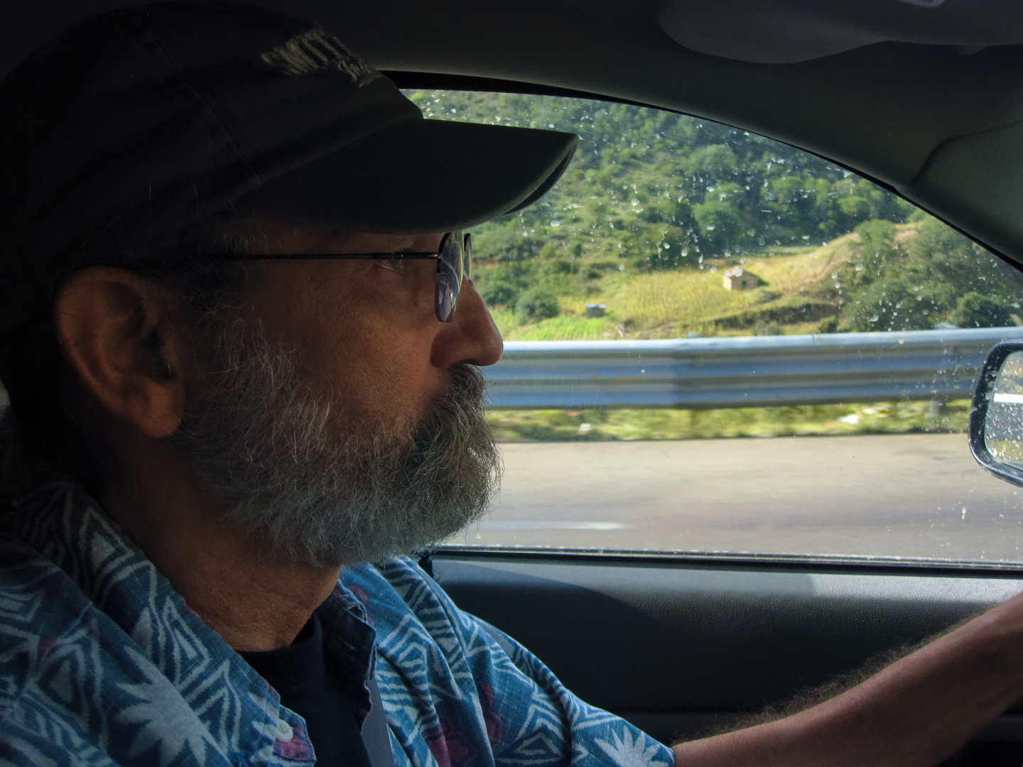
We were down to the last week of our month-long Mexican Road Trip, and each of the few remaining days was locked in. This day, #22, was a driving day: starting from Oaxaca, it was a 400 mile, nine hour slog to Queretaro, where we planned to stay the night. From Queretaro, it was a hop and a skip to San Miguel de Allende, where we had hotel reservations for all three days and nights of the upcoming Dia de Los Muertos celebration. Finally, we had a two-day drive from San Miguel to the U.S. Border, and on to Austin, Texas, where Michael, my shotgun rider, had a plane to catch.
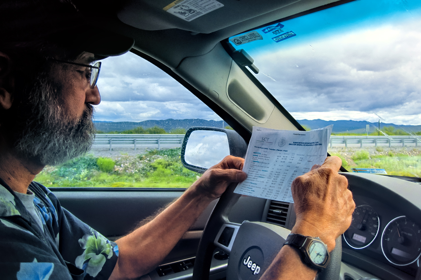
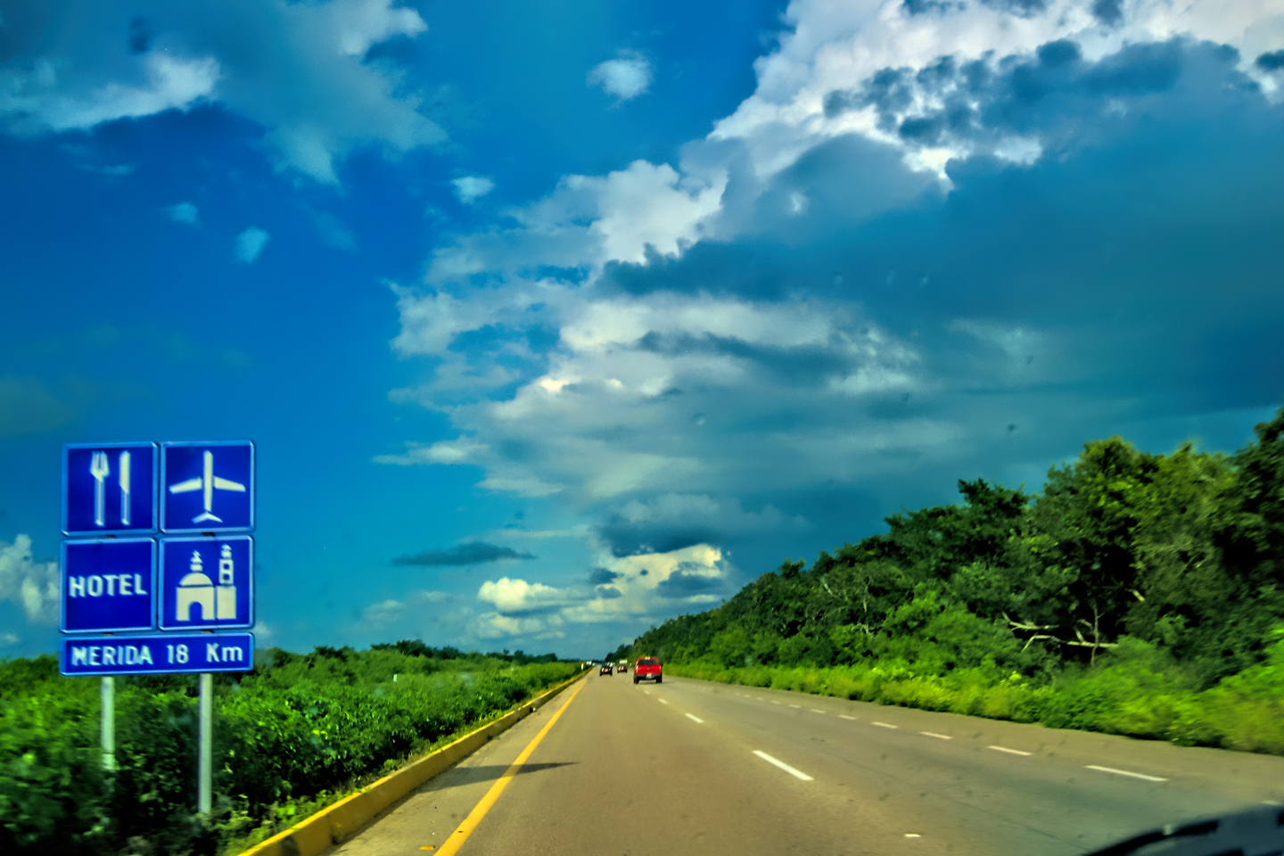
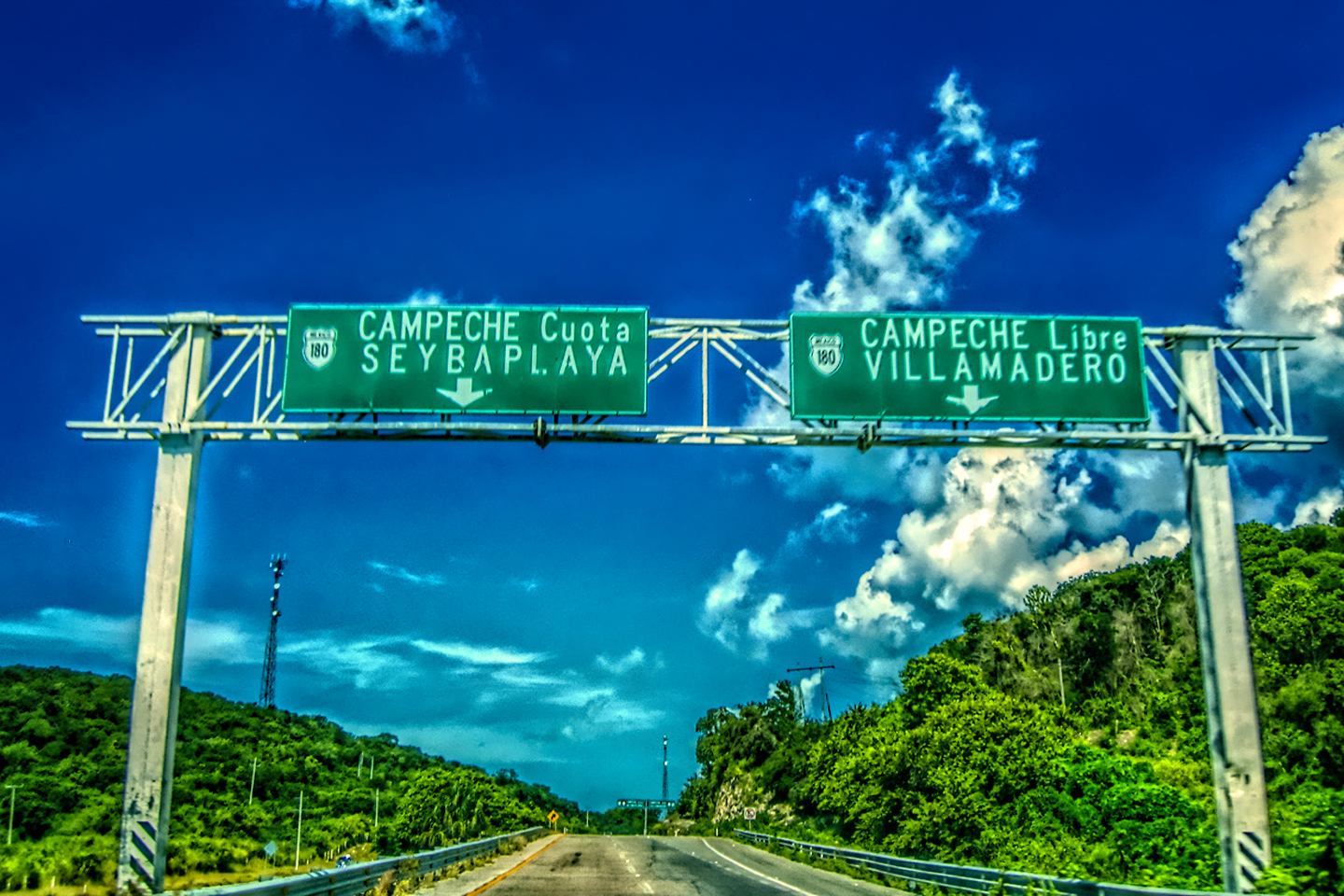
The route we were taking was a 400 mile succession of Federal Highways that were 90% toll roads, and that many miles worth of tolls adds up to quite a pile of Pesos; (Fifty bucks worth, give or take, at today’s rates). Most drivers traveling long distances in Mexico will gladly pay those tolls, because what you’re getting for your money is a much better road. (Click the link, at right/below, for more info about Mexico’s Toll Roads.)
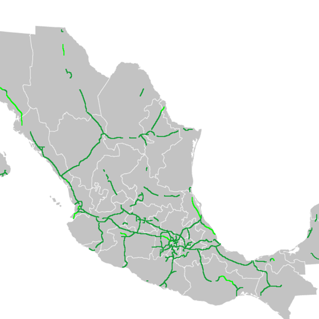
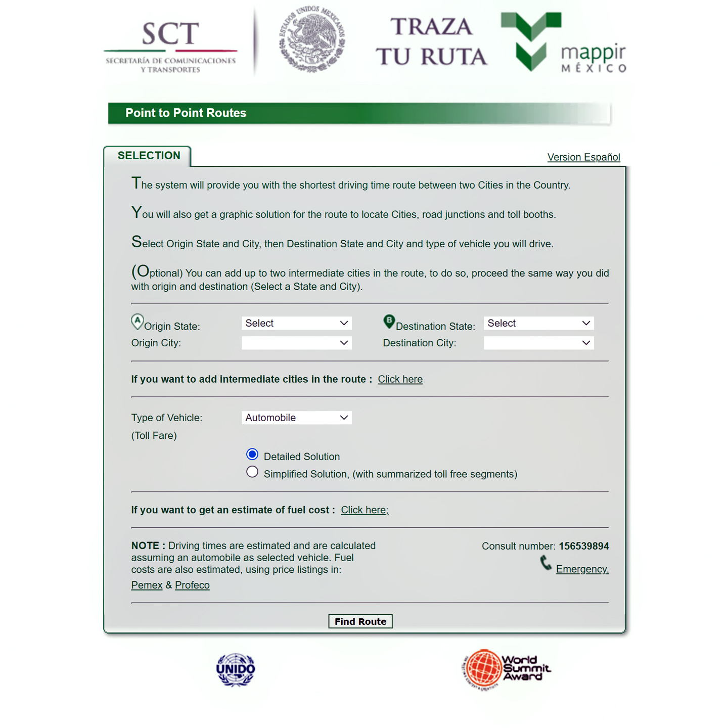
Mexico’s Secretary of Communications and Transport has developed an App that makes it easy to plan your route between cities, taking maximum advantage of the Autopistas. Click the link (above, right), if you’d like to check it out.
The toll roads, known as Cuotas, are safer than the Libre (free) highways, because they’re designed and built to modern expressway standards, and they are (for the most part) more consistently maintained. Driving on a Cuota, you’re much less likely to run into the potholes, speed bumps, livestock, and other assorted hazards that drivers face on the regular Mexican highways. The toll roads are also significantly faster, because they’re less congested, the speed limits are higher, and they bypass all but the largest towns.
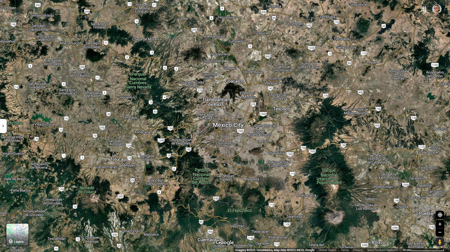
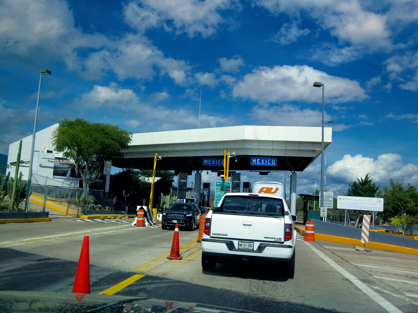
All things considered, this particular four hundred miles should have been a breeze, but there was a major obstacle just past the halfway point: Mexico’s Distrito Federal (Federal District), otherwise known as Mexico City. Mexico’s capital is one of the world’s most densely populated urban areas, and it boasts some of the world’s worst traffic. The most direct route between Oaxaca and Queretaro went smack dab through the outskirts of the D.F., and that, all by itself, was a problem.
To go along with that horrendous traffic, Mexico City has some of the world’s worst air pollution from vehicle emissions. As far back as 1989, they were forced to take drastic measures, implementing a program known as Hoy No Circula, (Don’t Drive Today), which reduces emissions by taking every non-exempt vehicle off the road altogether one day per week, as well as certain Saturdays, and weekdays during the morning commute. “Non-Exempt,” in this context, applies to any vehicle not displaying the proper license plate decal, which is the only acceptable proof of compliance with the strict emissions standards. Tourists and their personal vehicles are automatically non-exempt, so if you intend to drive in the D.F., or in the State of Mexico, you’d best get familiar with the program. Here’s an overview, along with some links:
HOY NO CIRCULA!
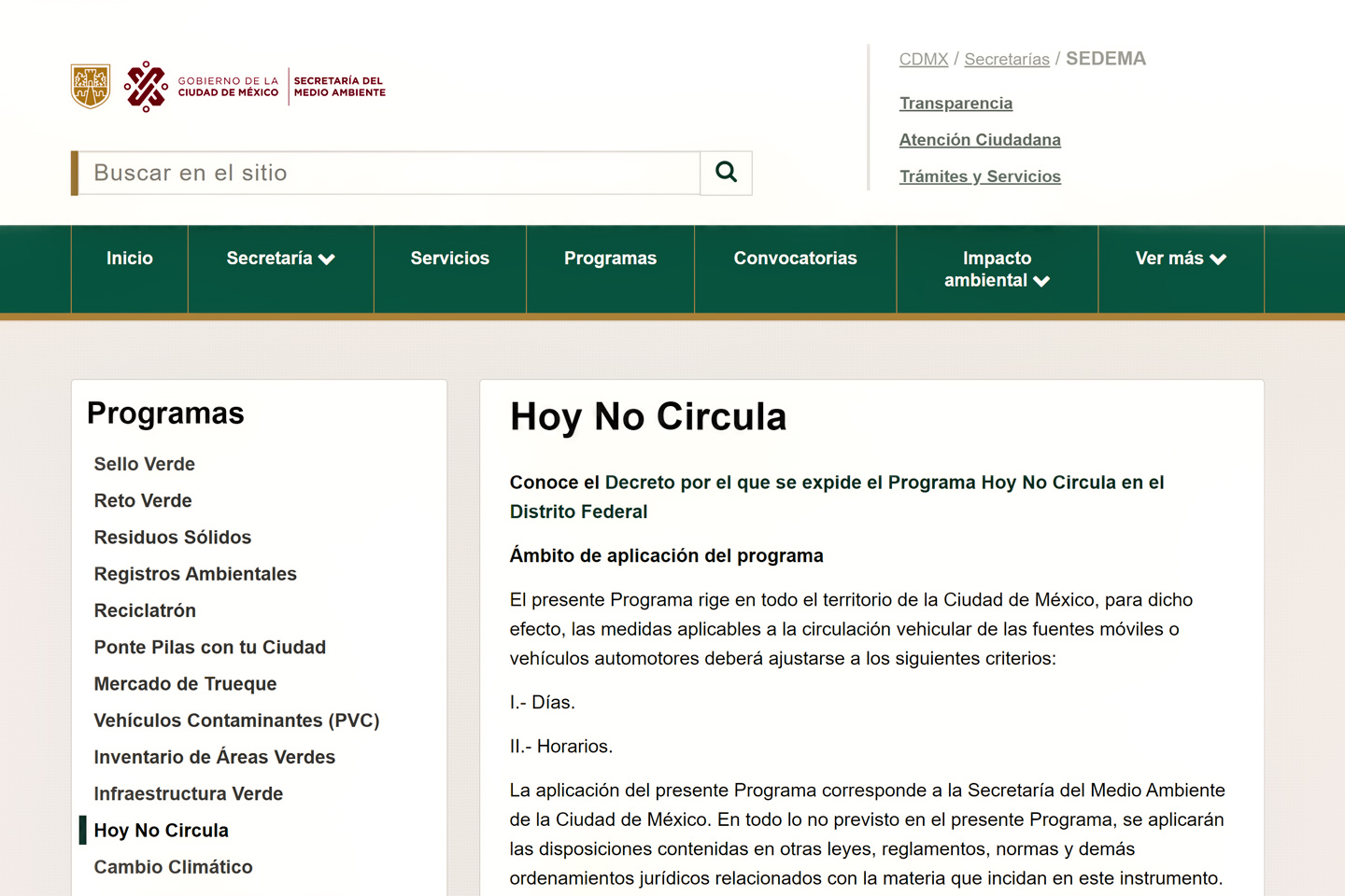
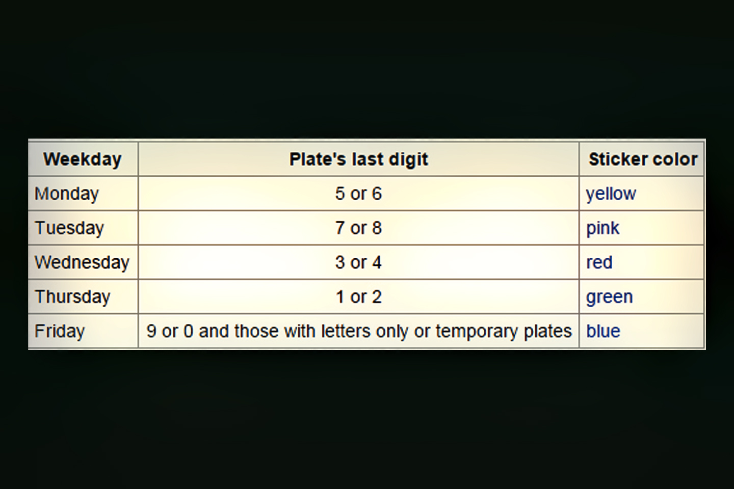
The law known as “Hoy No Circula,” (Don’t Drive Today) requires all drivers to leave their non-exempt vehicle parked one day per week, as a way to reduce vehicle emissions. Air quality in Mexico City ranks among the worst in the world, so they’re serious about enforcement, and anyone caught driving a vehicle on a day when it’s not supposed to be on the road gets a citation and a significant fine. Every vehicle operated in the D.F. is subject to these regulations, even tourists, like us, who are just passing through.
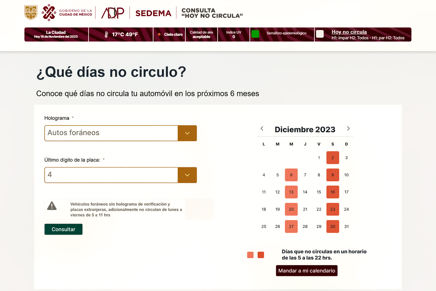
Residents have special holographic decals on their license plates, declaring their exemption, when they’ve met the strict emissions requirements, or specifying their “Don’t Drive” day if the vehicle fails the inspection, or is disqualified by its age. The restrictions for visitors are determined by the last digit on their license plate. There is a web application, sponsored by the Mexico City Government, which drivers with foreign plates can use to figure out their schedule: <<¿Que Dias No Circulo?>> (Which Days Don’t Drive?) In my case, the last digit on my Jeep’s plate was a “4.” Under “Hologram” I select “Autos Foraneos,” (Foreign Auto), and under “Ultimo Digito” I select #4.
With these choices, the App tells me I won’t be allowed to drive anywhere in the D.F. (Federal District), or in the State of Mexico, between the hours of 5 AM and 10 PM on Wednesdays or Saturdays, nor could I be on the road between 5 AM and 11 AM on any weekday (the hours of the morning commute).
¿Que Dias No Circulo?
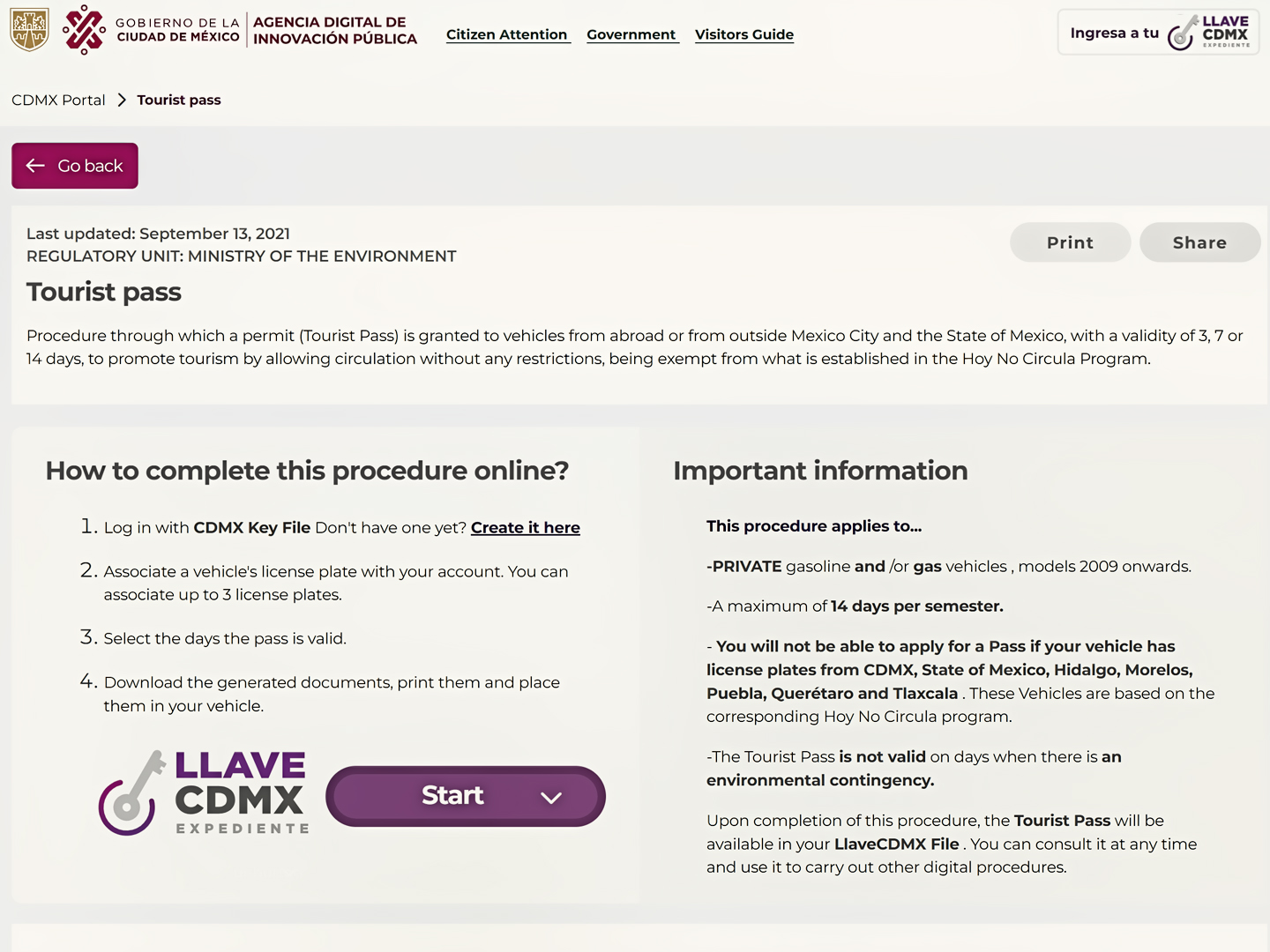
Tourists who plan ahead are allowed a fourteen day exemption to the program, known as a Pase Turistico. (Either 14 continuous days, or smaller blocks of 3 days or 7 days, not to exceed 14 days total over a six month span). Vehicles that are model year 2009 or newer are allowed to apply for a Pase once every six months. It’s recommended that you do so well in advance of your trip, and that you always carry a printed copy of the document in your vehicle when driving in or near the D.F.
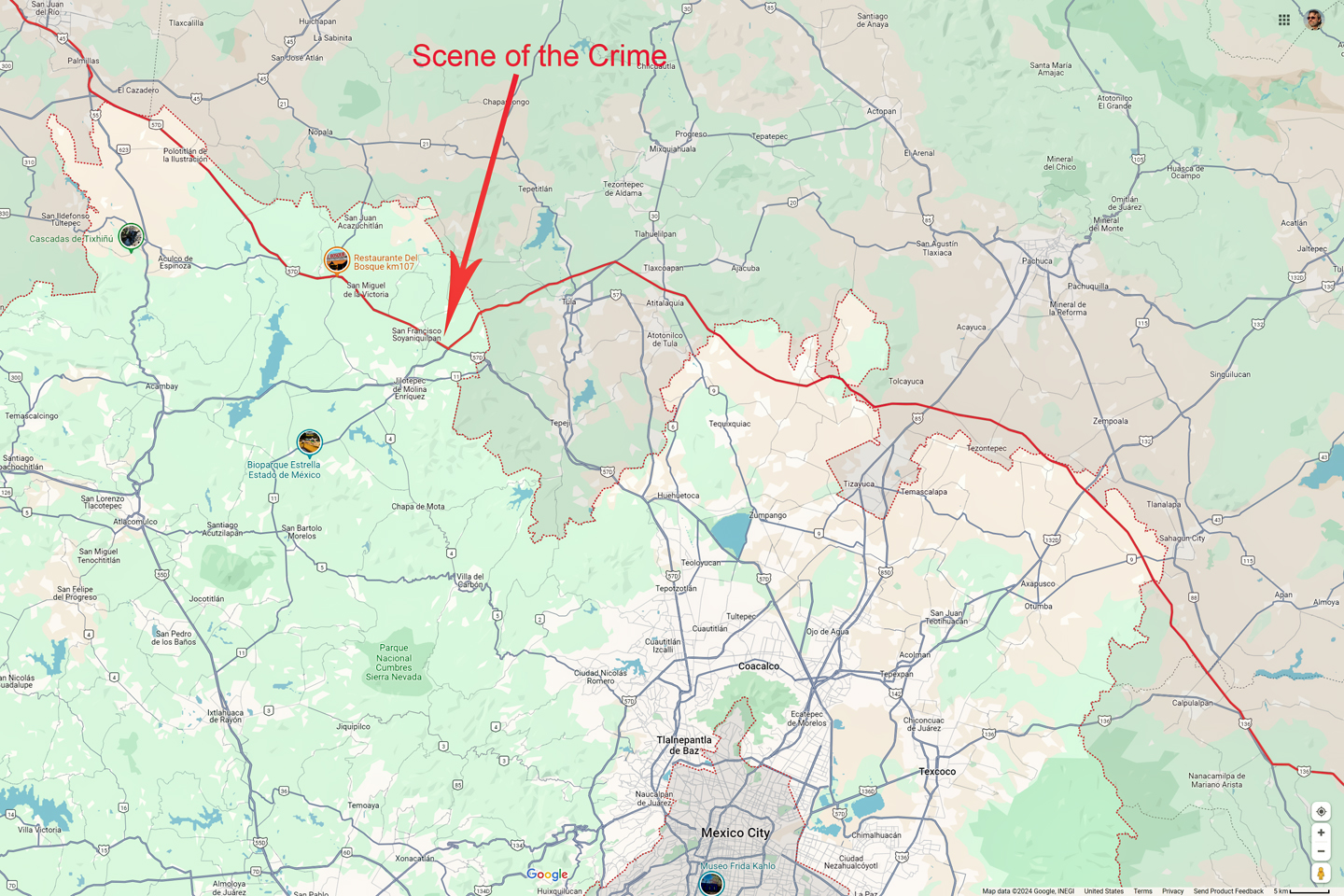
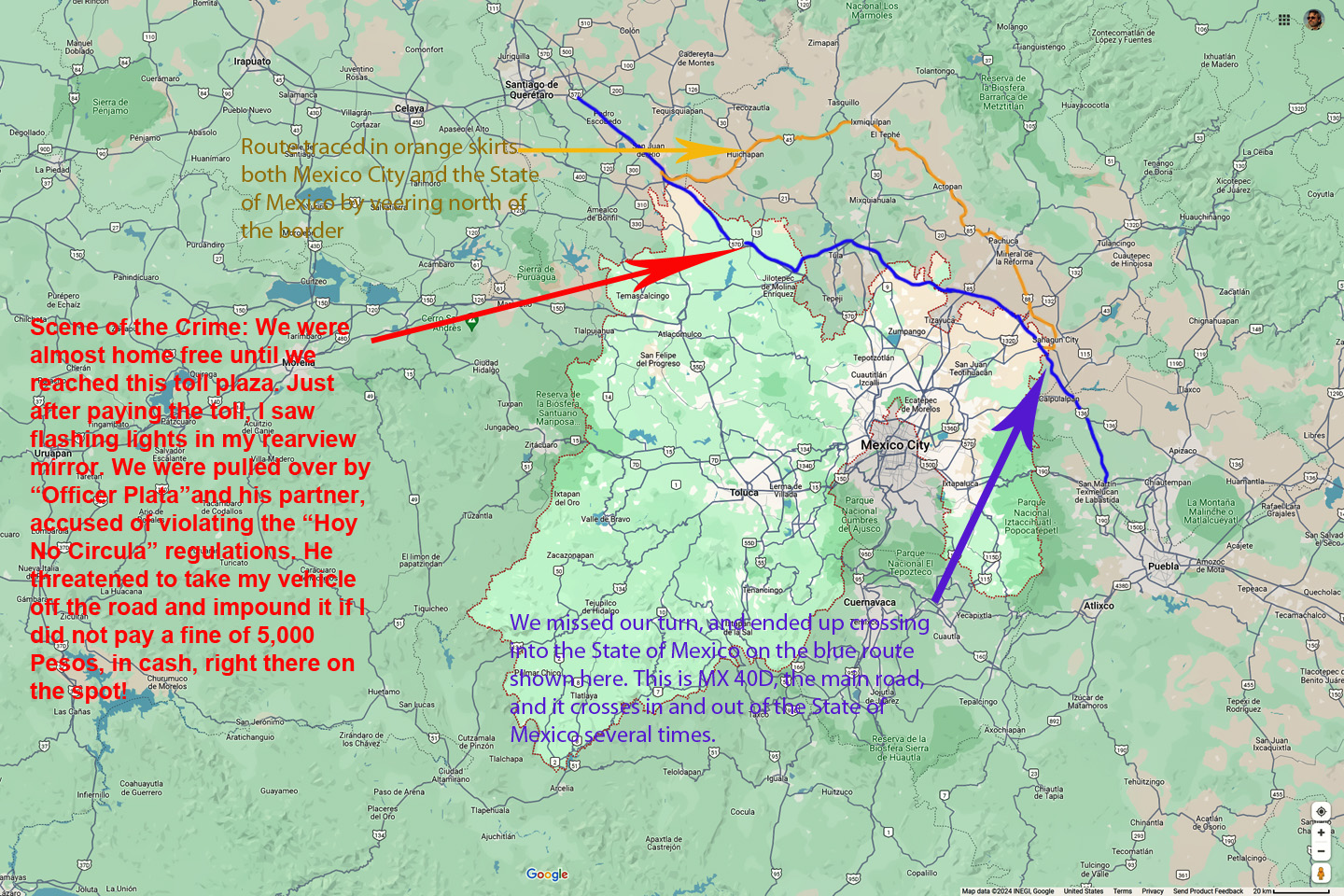
There’s another option that’s even easier. The Hoy No Circula rules only apply to Mexico City and the surrounding State of Mexico, so as long as you stick to highways that stay entirely within a different state, such as Tlaxcala or Hidalgo, you don’t need to worry about any of this. That’s actually trickier than it sounds, because the borders between the State of Mexico and its neighbors are not straight lines (see map, right/below). The main road (MX 40D) crosses in and out of the State of Mexico several times, and for us, that was a problem. With no Pase Turistico, I needed to make sure that whatever road we ended up on kept us north of any borders with the State of Mexico.
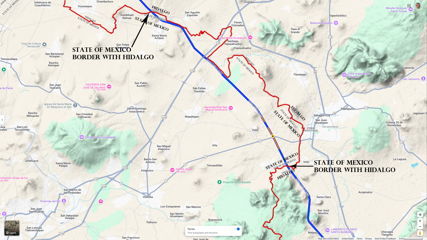
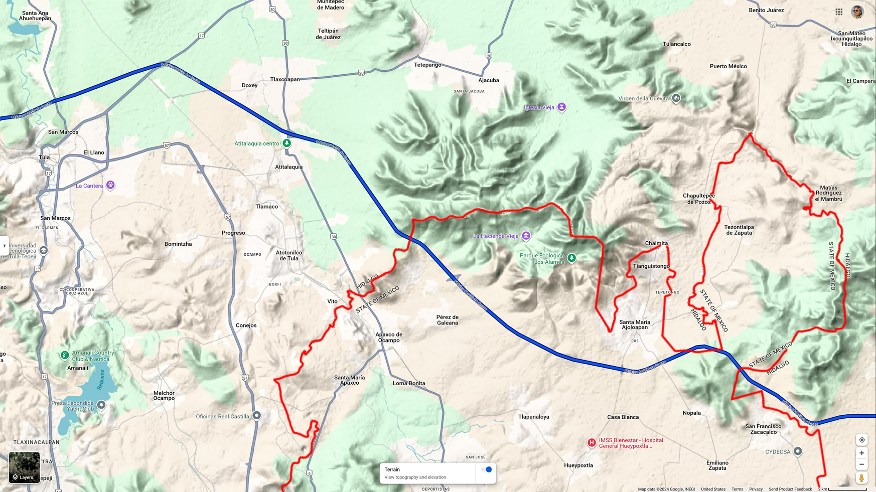
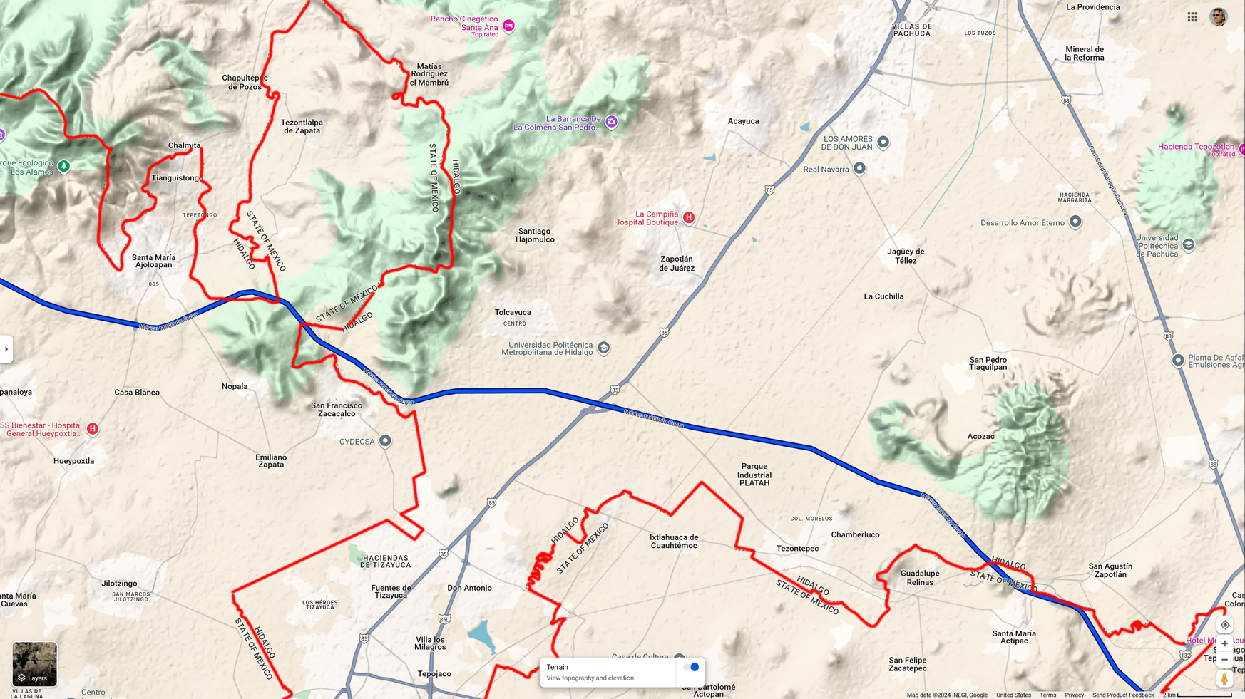
The red line represents the border between the State of Mexico, where Hoy No Circula is strictly enforced, and the State of Hidalgo, where the emissions reduction program has never been implemented.
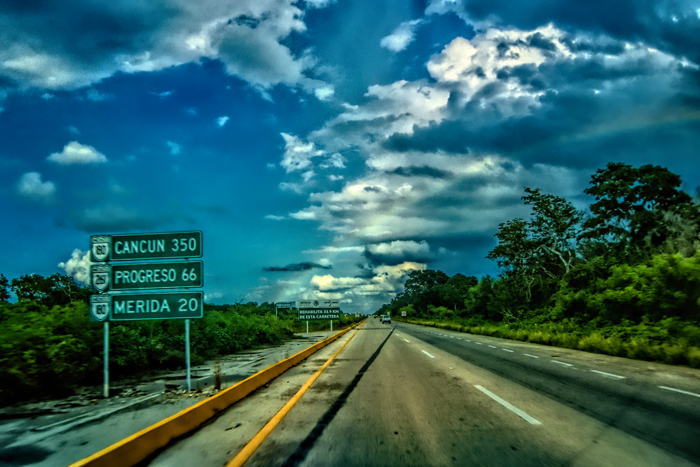
LEAVING OAXACA
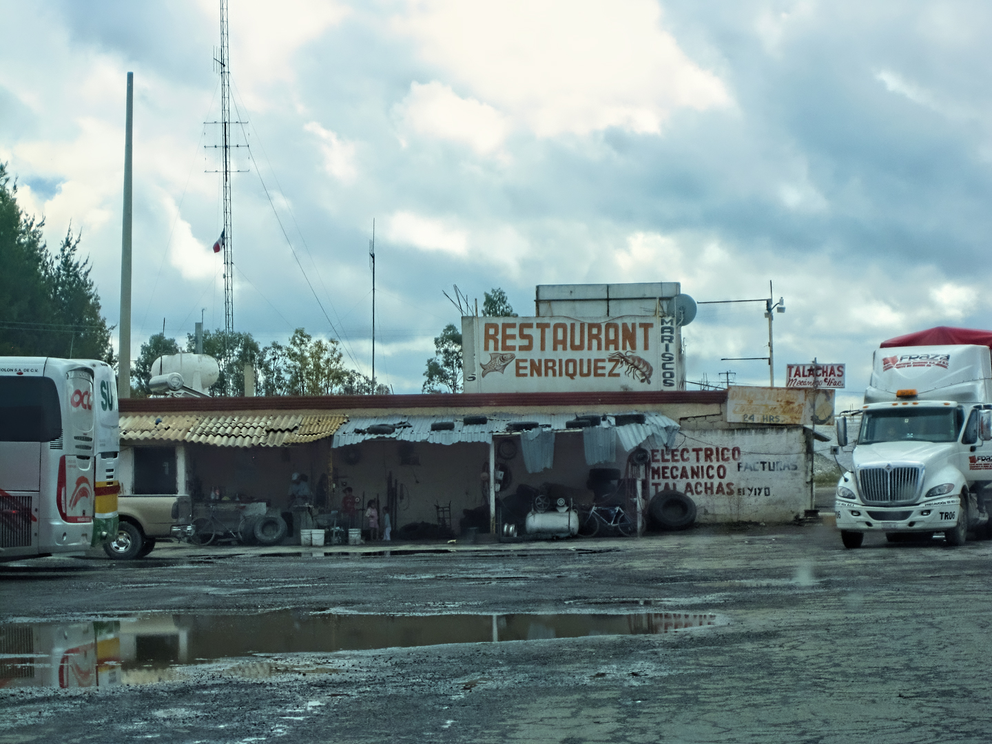
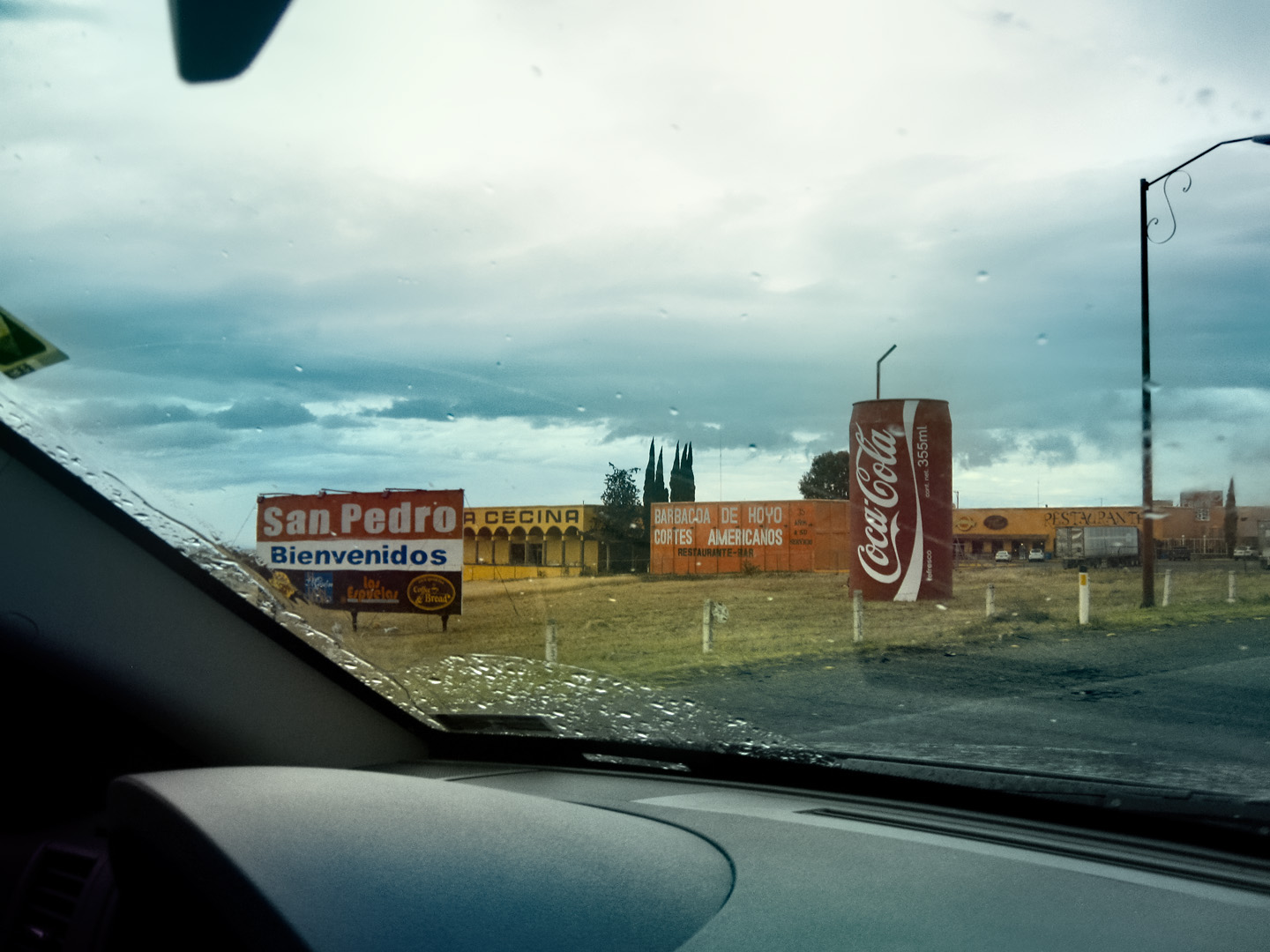
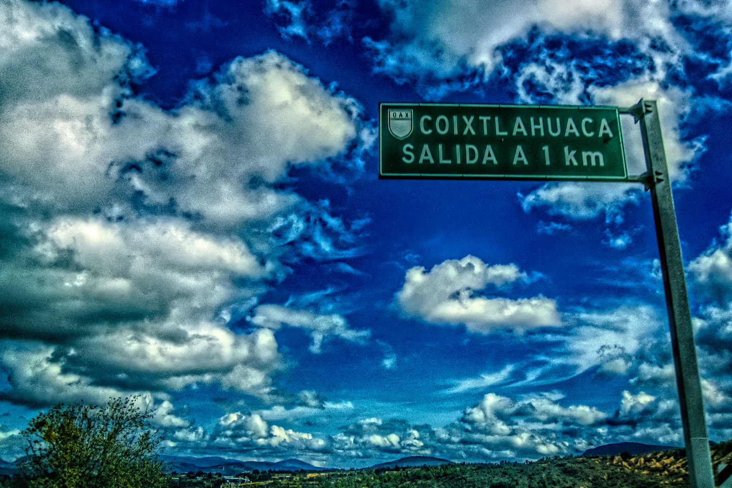
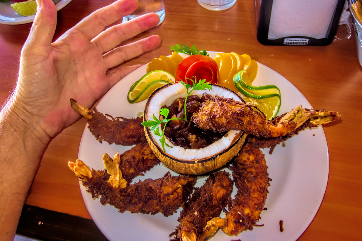
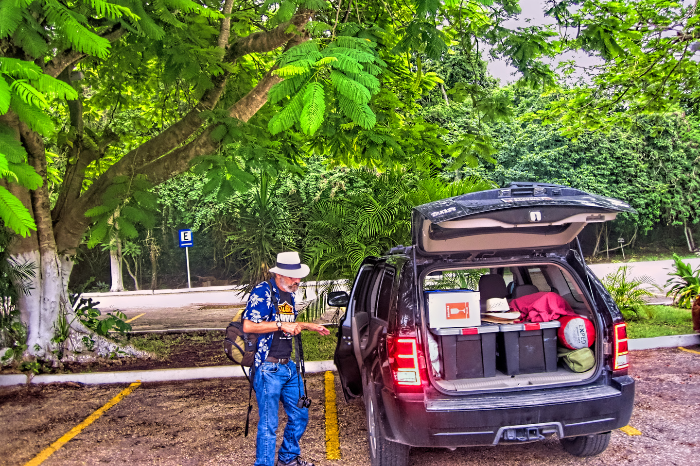
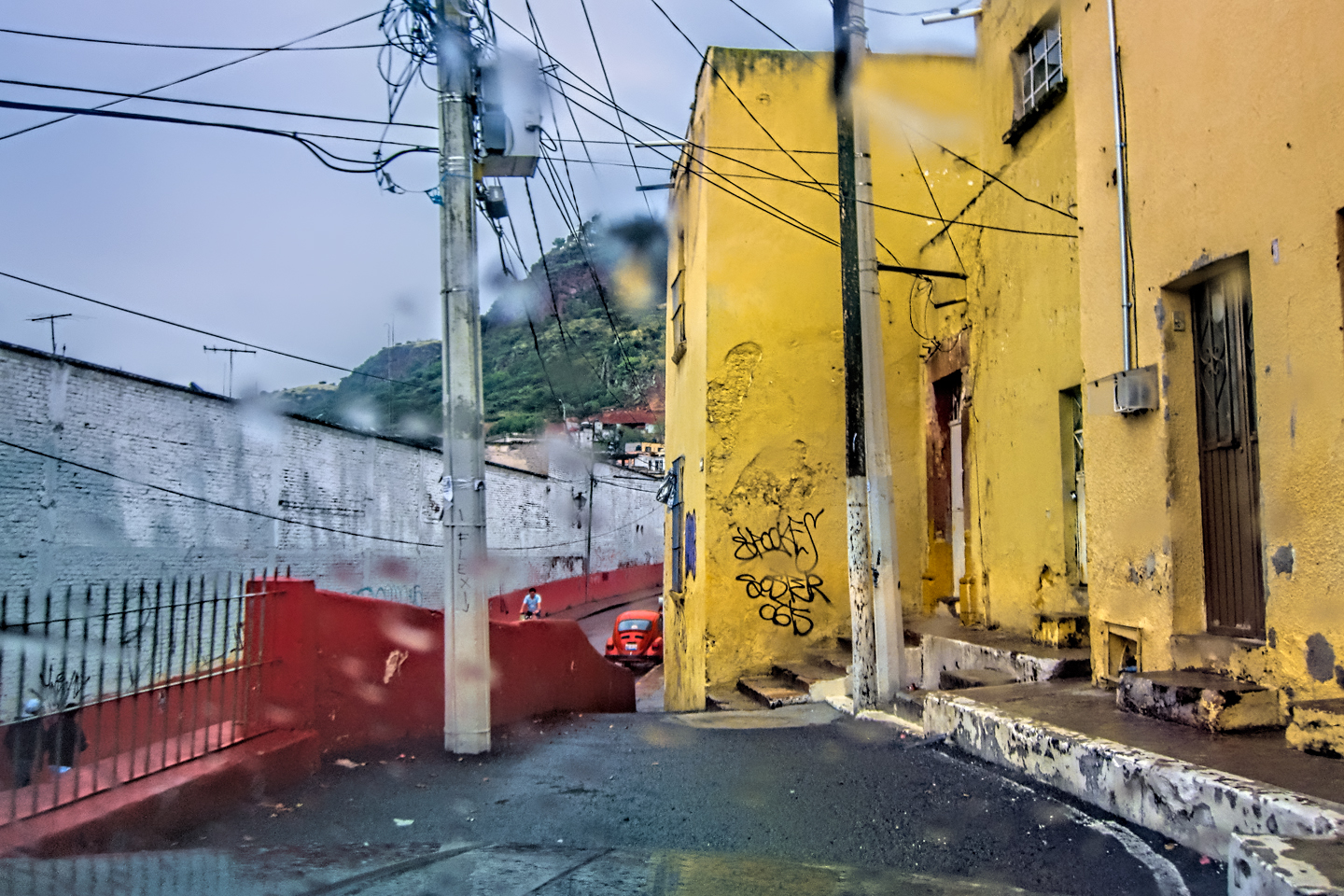
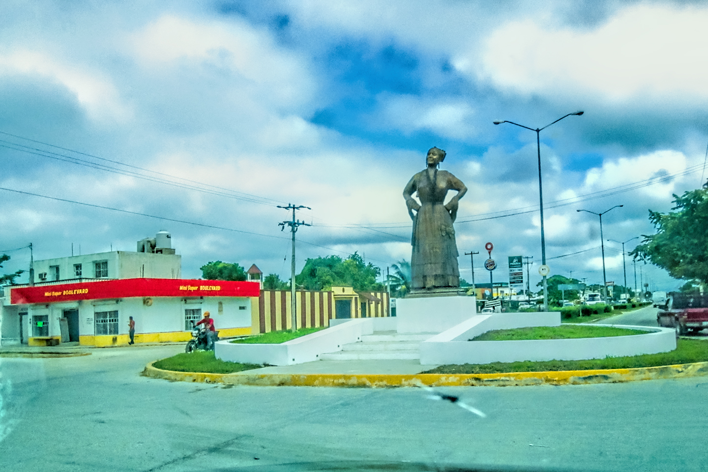
With a nine hour drive ahead of us, we really couldn’t afford to linger in Oaxaca, as much as we would have loved to see more of the charming old city. San Miguel de Allende, where we were headed, is one of the best places in Mexico to experience the Dia de Los Muertos celebration. If we hadn’t already made our reservations, we most definitely would have stayed in Oaxaca, which, according to a lot of people, is actually even better. The decorations were already starting to go up, and if we hadn’t been so anxous to get on the road, we would have at least made a circuit of the plaza, to snap some photos; instead, I settled for a few shots of the the neighborhood around our hotel, in a city just beginning to come awake.
Street Scenes in Oaxaca, early morning

On the road OUT of Oaxaca!
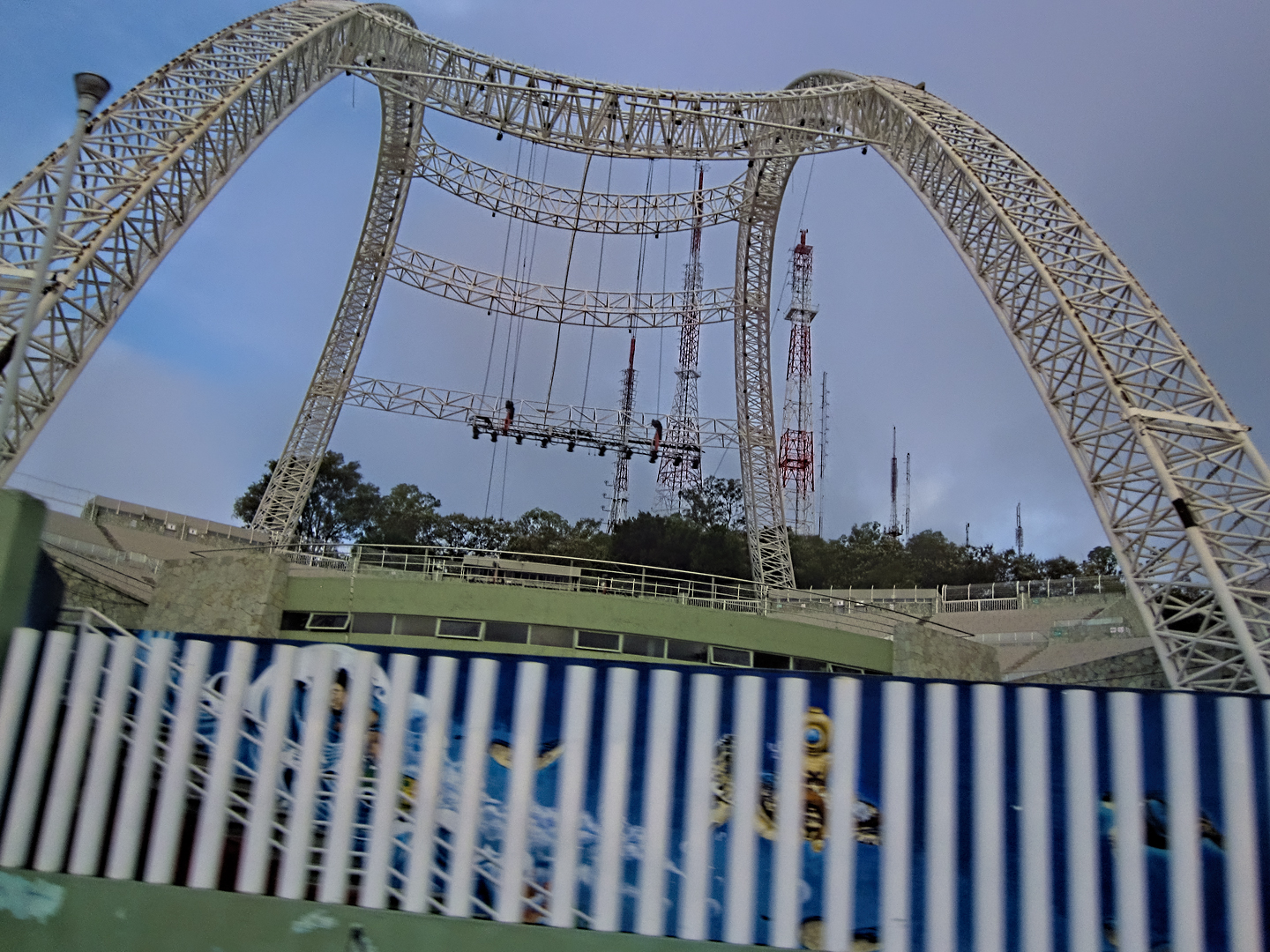
Auditorio Guelaguetza
We passed alongside a futuristic structure made of arched steel girders spanning what appeared to be a concert stage. I wasn’t able to look it up while I was driving, but later investigation identified the Auditorio Guelaguetza, a well-known venue for festivals, concerts, dances, and theater. Situated on Cerro del Fortín (Fortín Hill), the site offers a panoramic view of Oaxaca City. The design is reminiscent of ancient Greek and Roman theaters, with a semicircular shape that takes advantage of the hill’s natural slope for seating. It would have been fun to attend an event there, but, alas, we were already out of time, so we sailed on by.
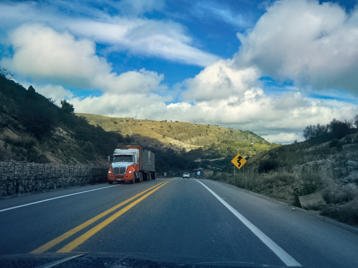
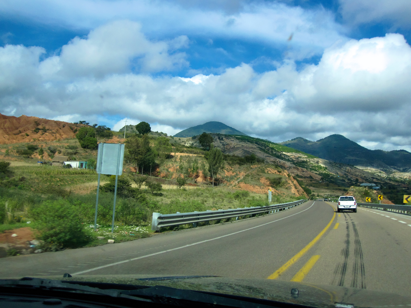
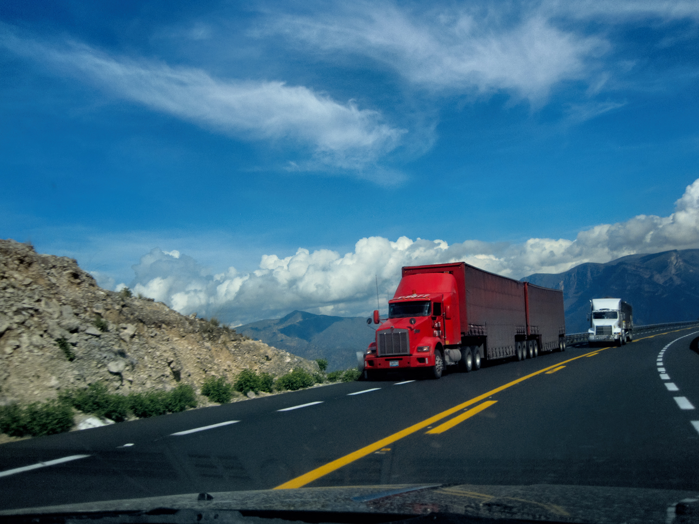
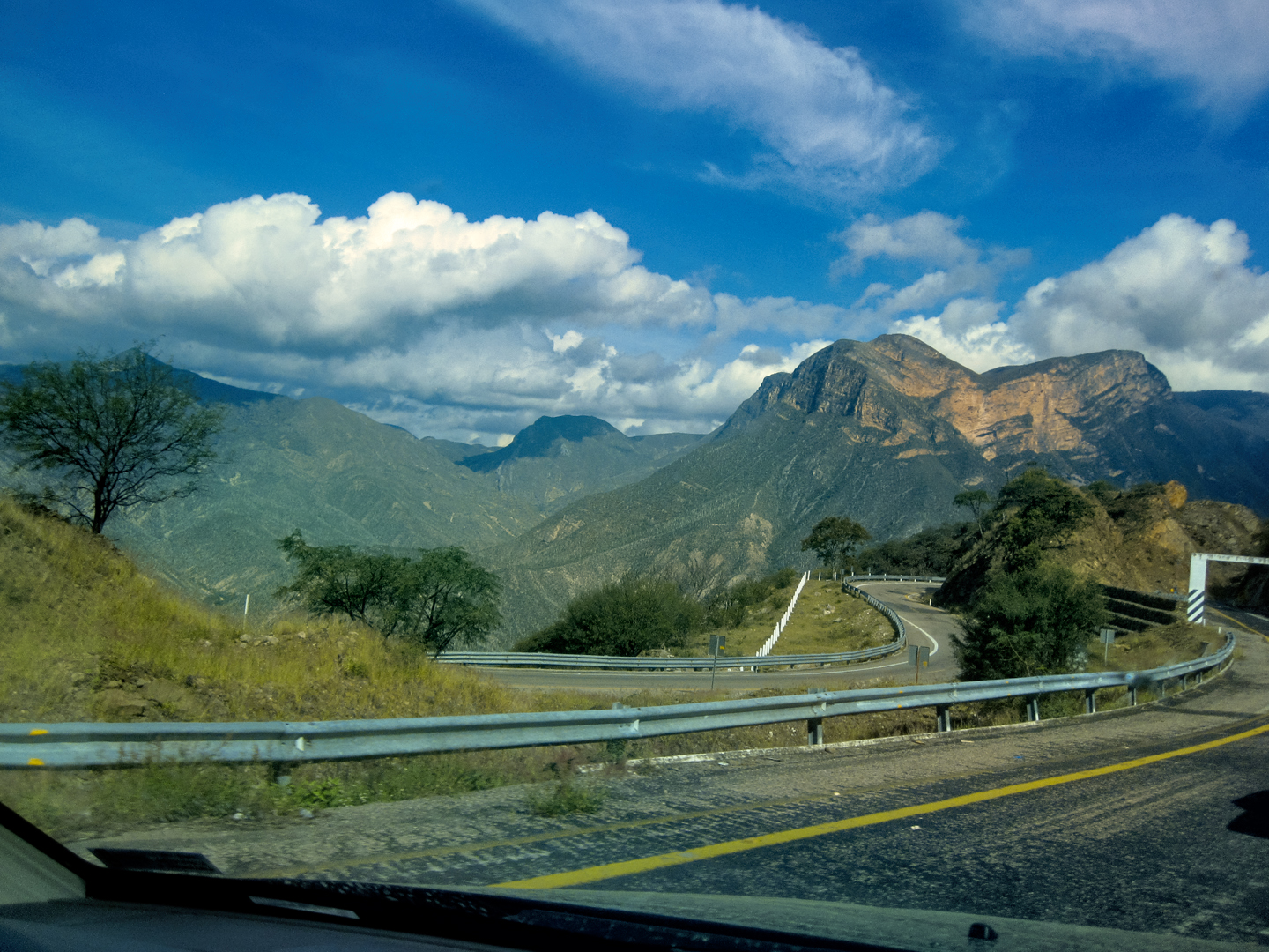
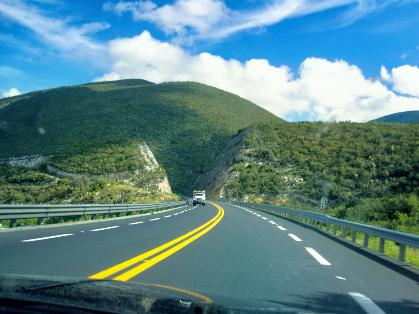
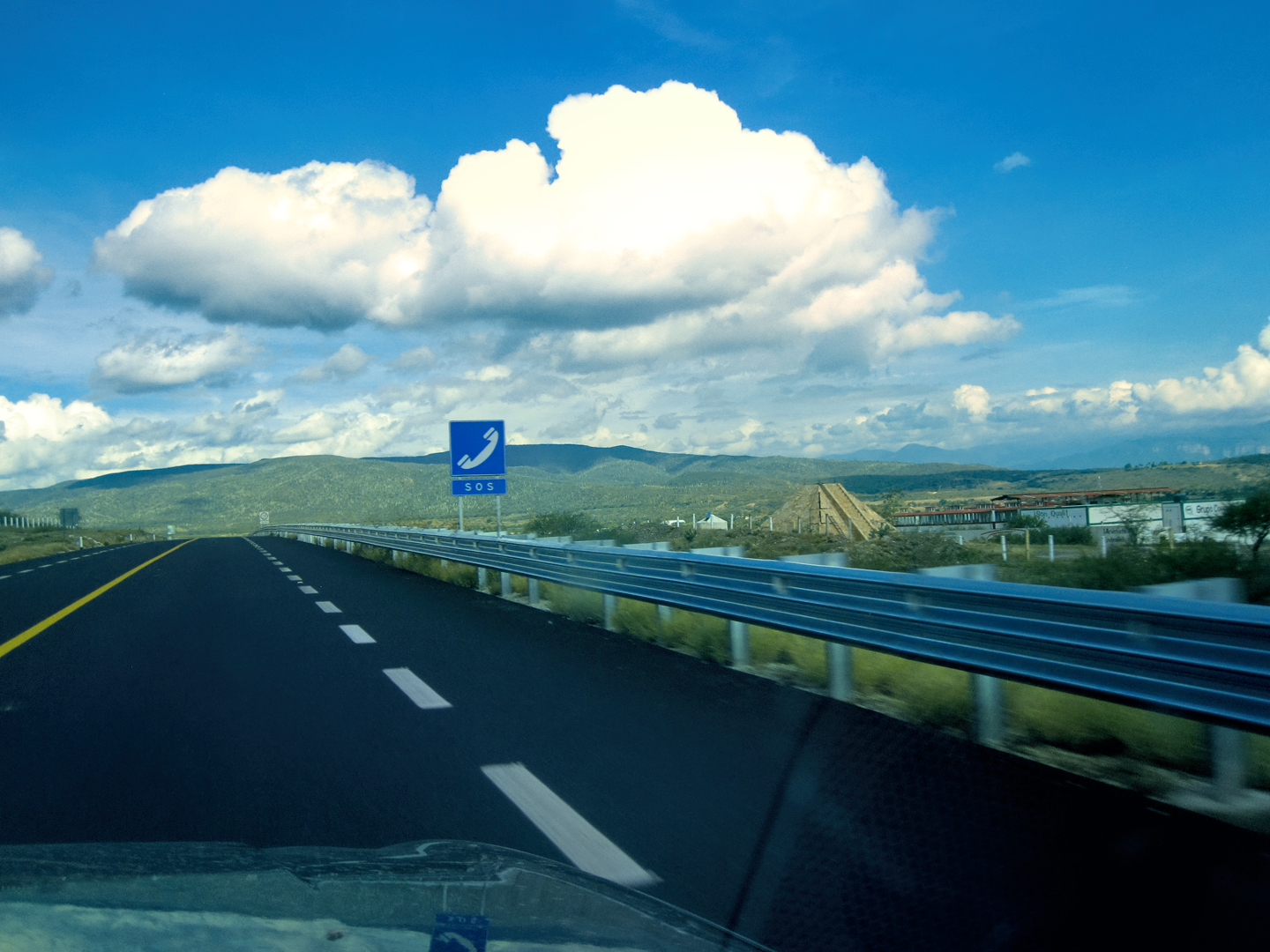
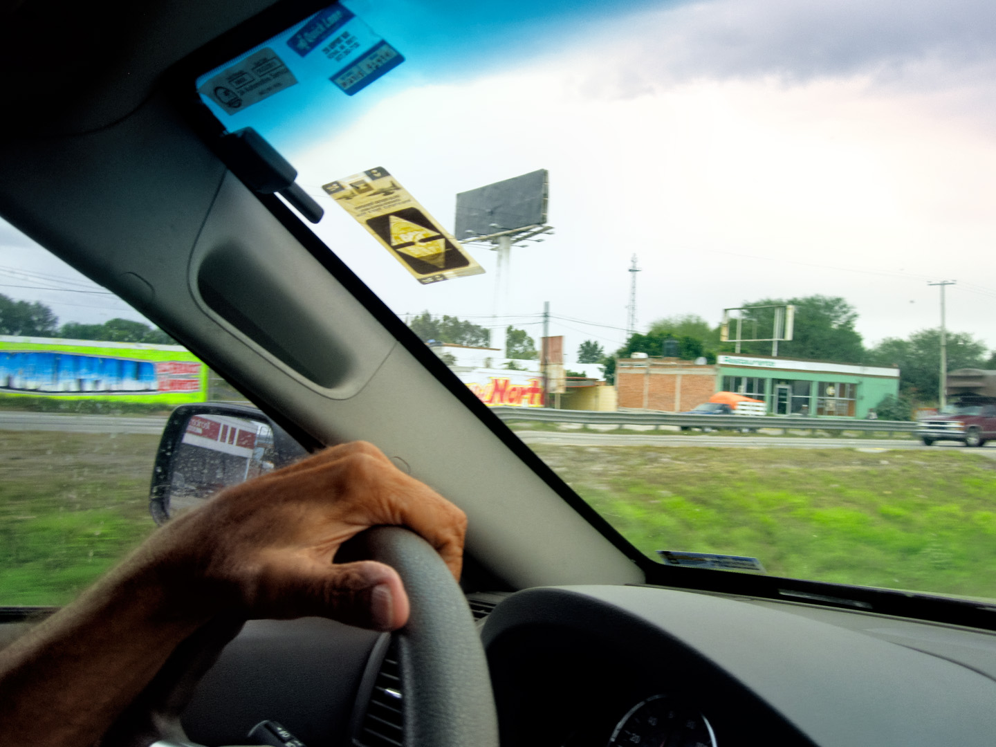
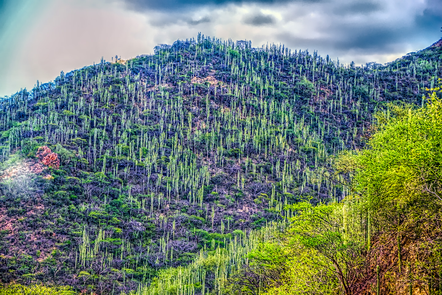
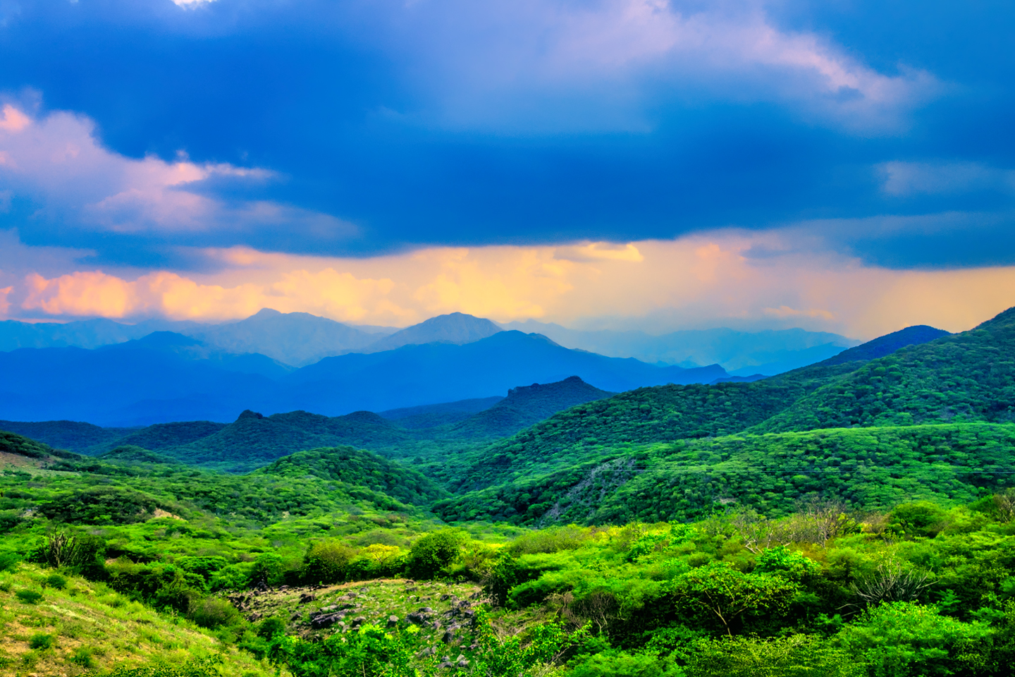
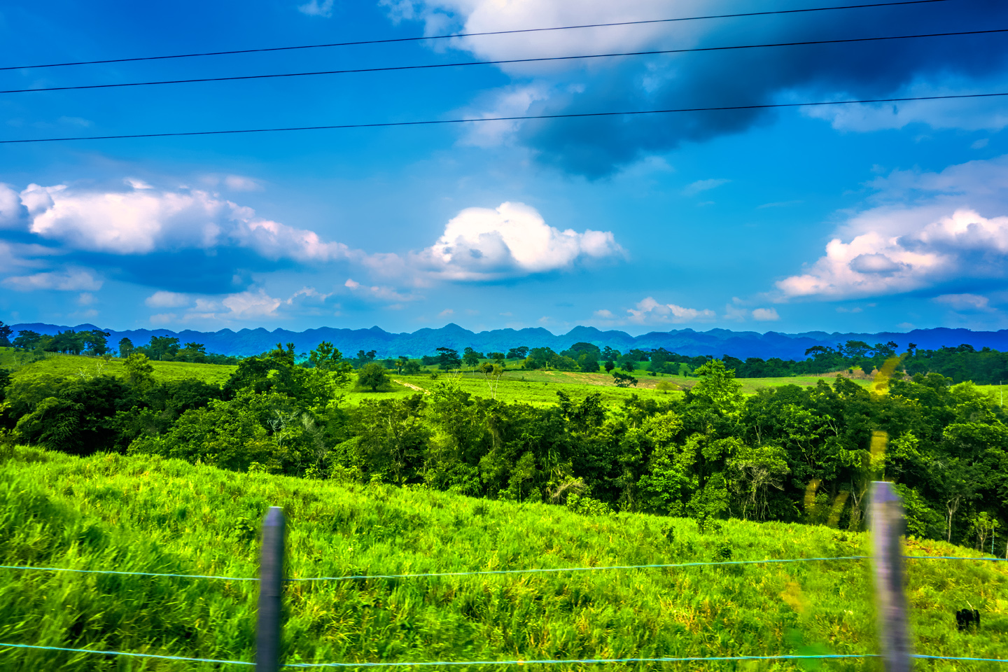
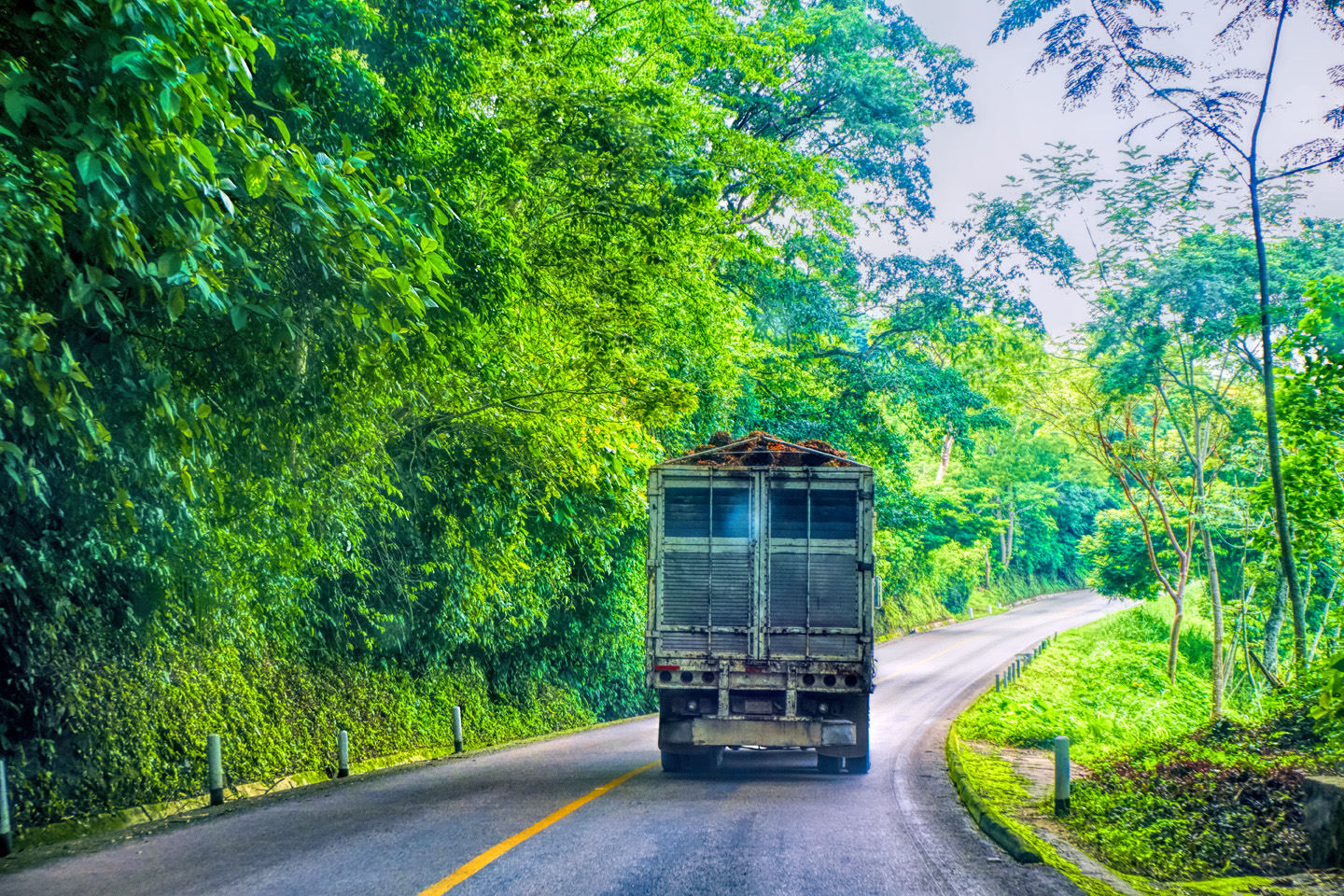
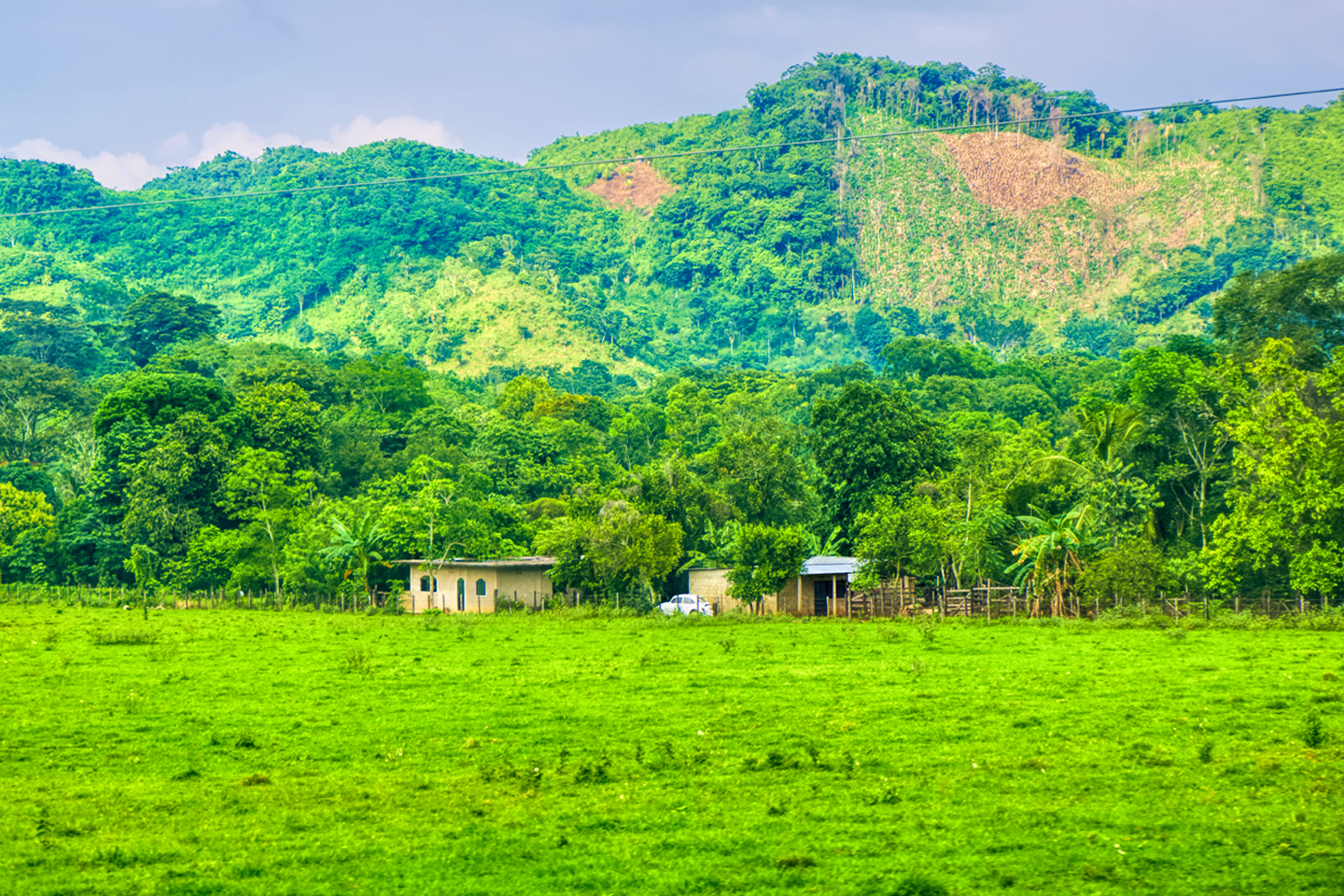
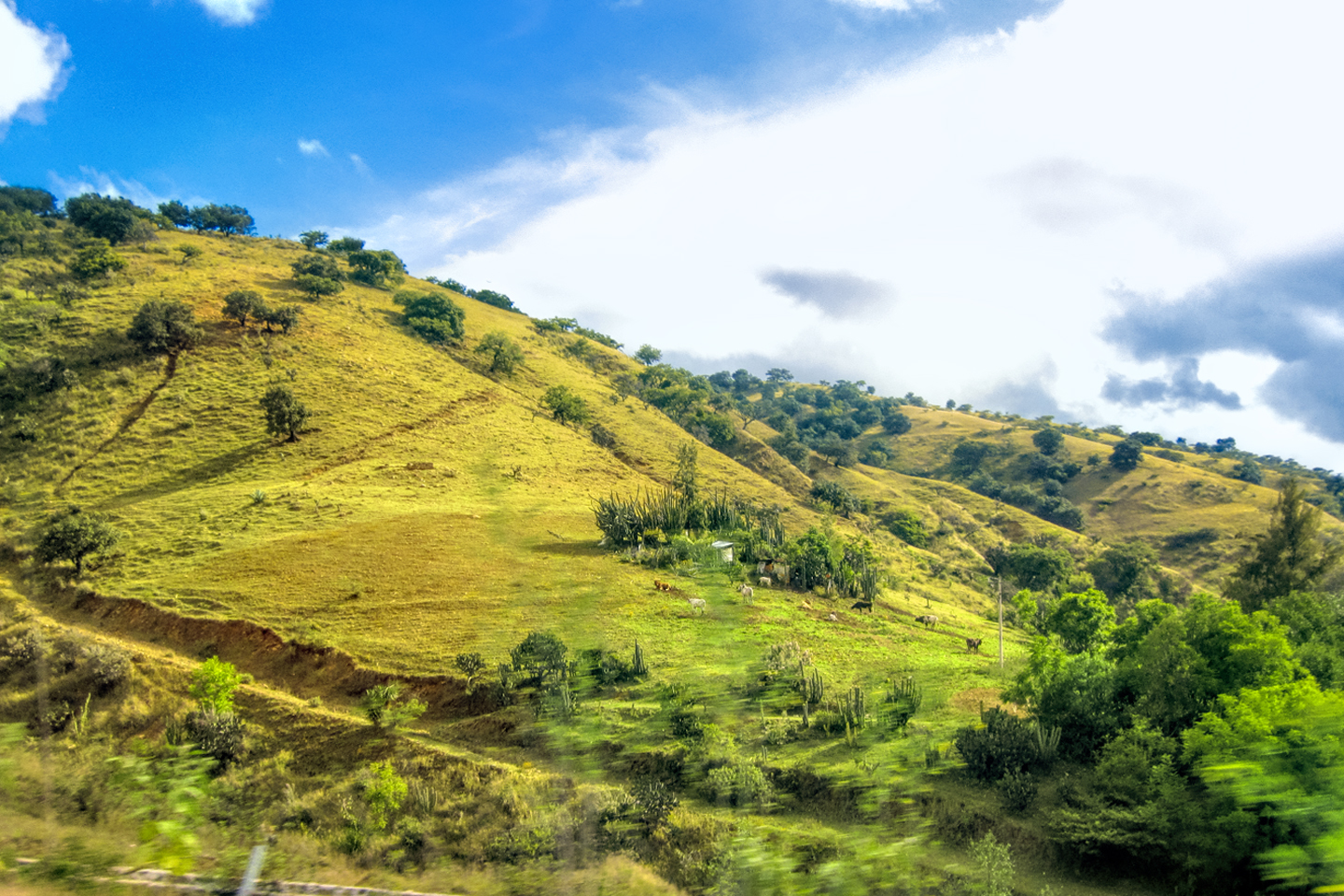
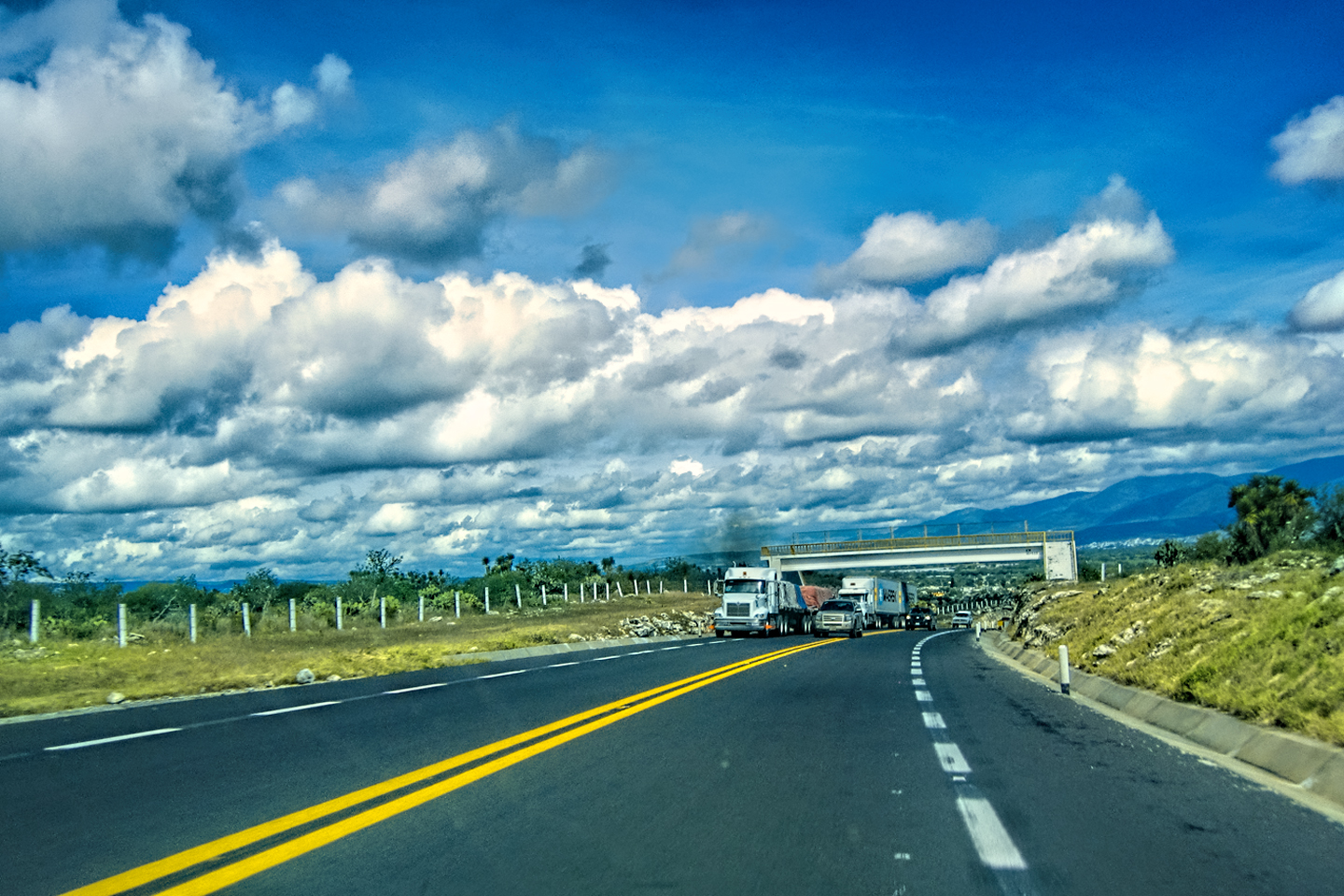
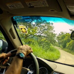
We drove through town in morning traffic for half an hour or so, staying on MX 190, the Pan American Highway, until it merged with the Autopista, MX 135D. From that point, we were back into the mountains, enjoying spectacular views of the Sierra Madre de Oaxaca as we cruised along gentle curves, with minimal traffic, making excellent time. Tropical mountains like these never fail to tug at my heart strings, reminding me of the northern Andes, where I spent some of the happiest years of my youth, driving all over the place in a truck I shipped down from the U.S.
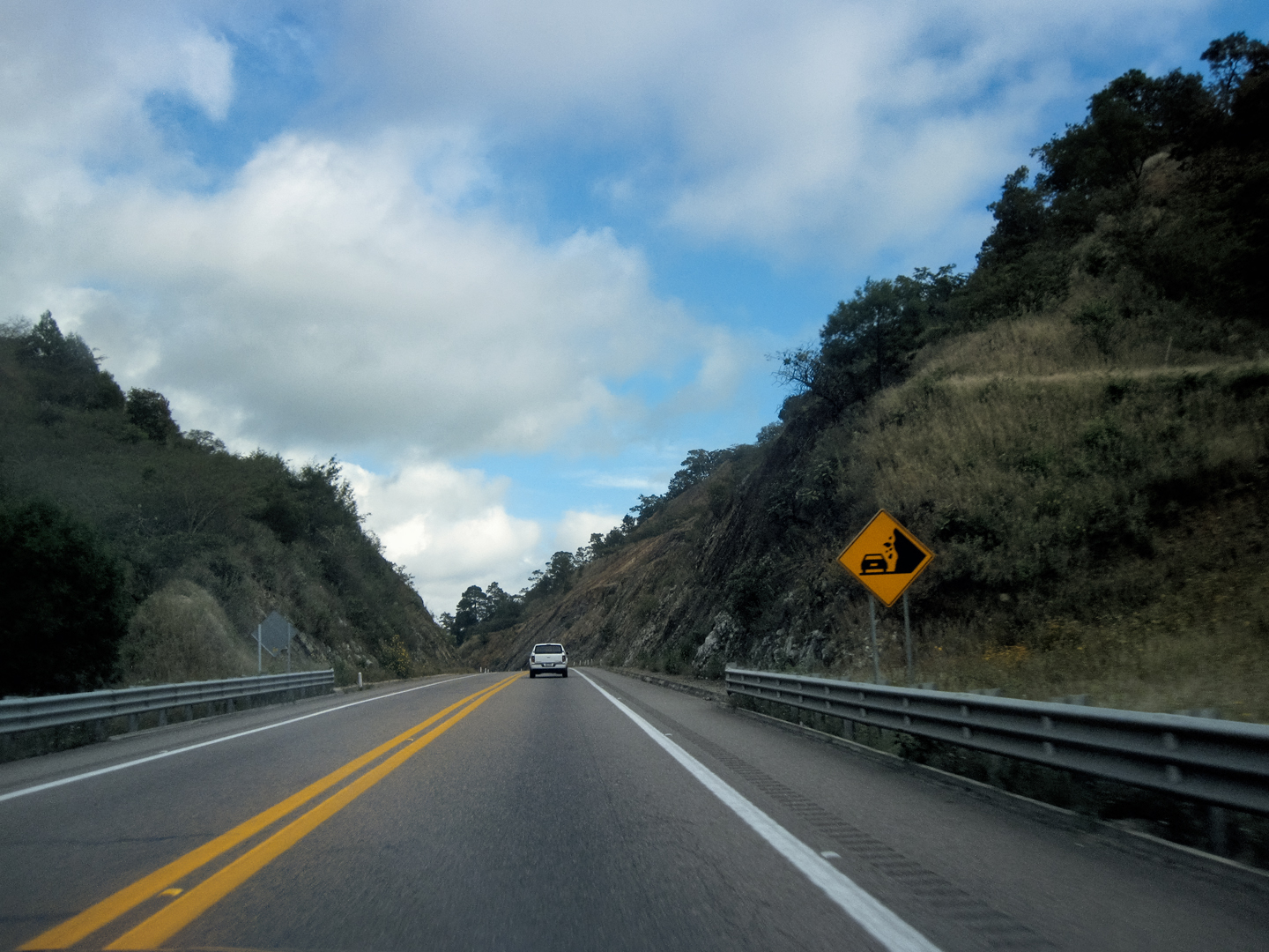
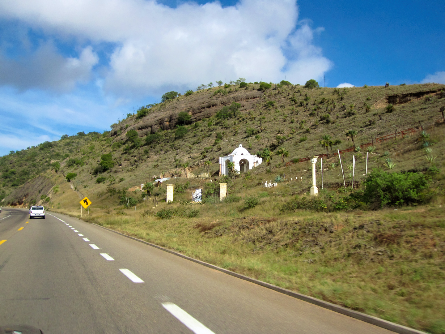
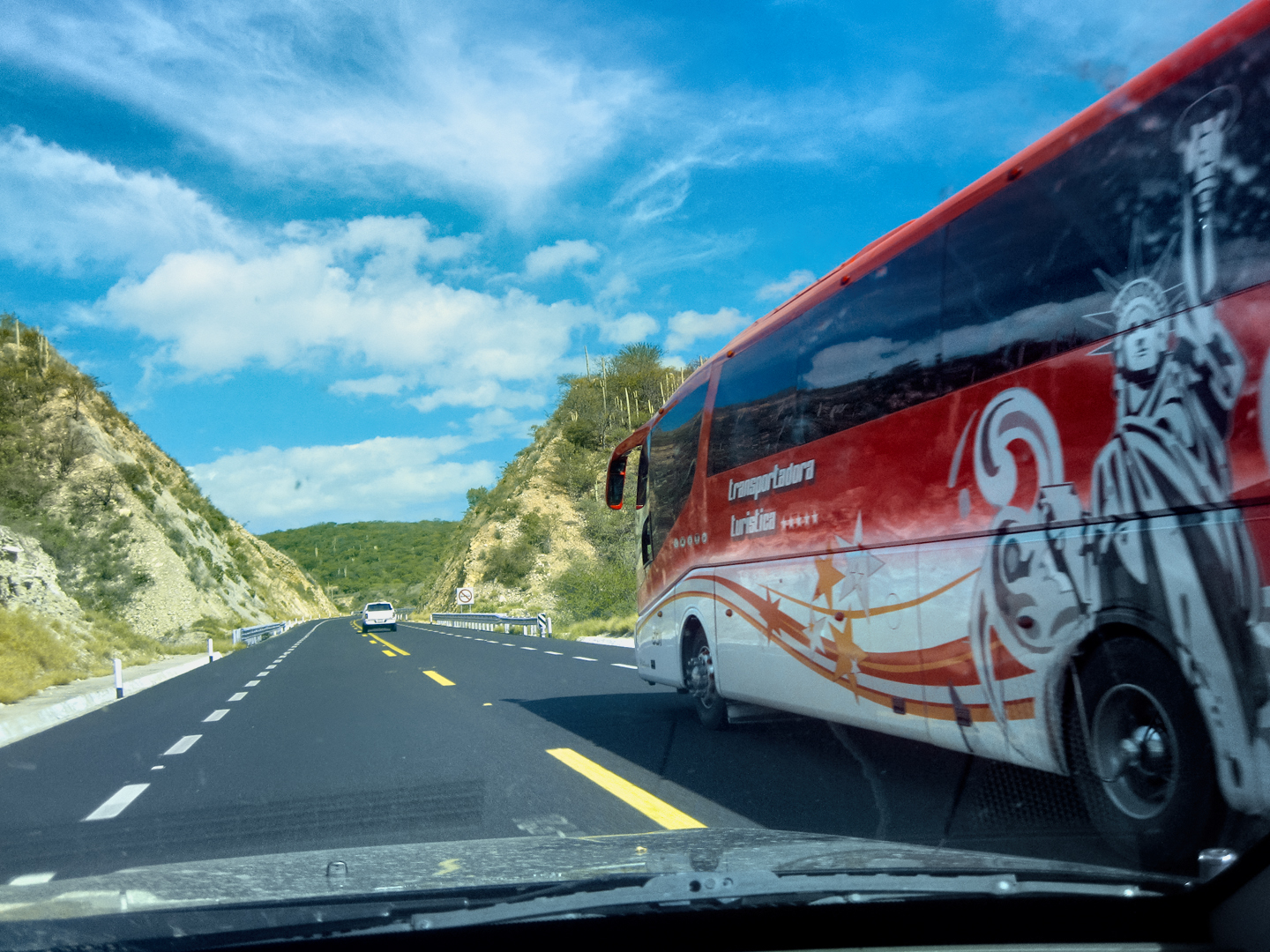
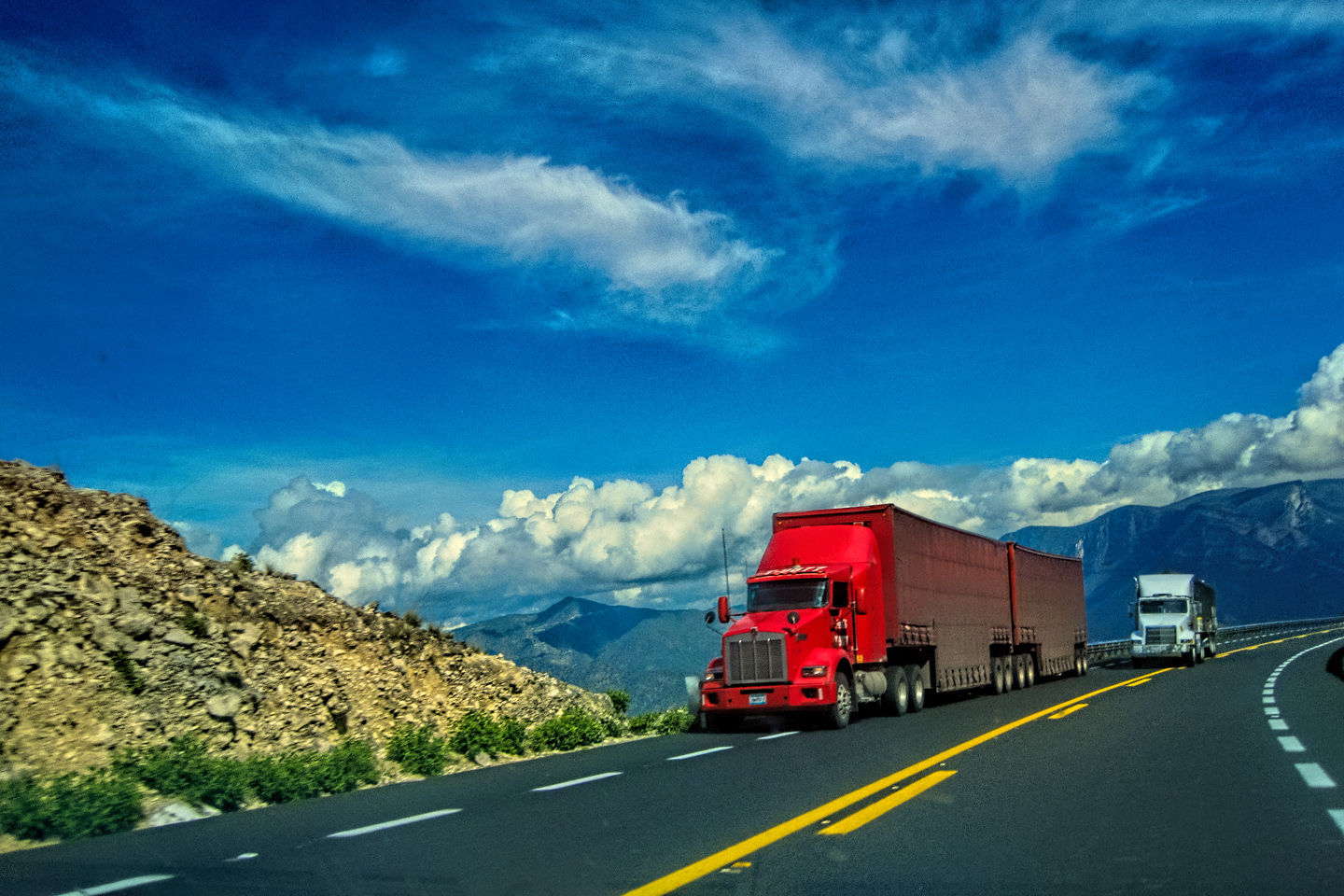
We continued north/northwest on MX 135D for another hour or so. The highway was an autopista, a toll road, but in the most mountainous segments the divided highway was reduced to a single road, with one lane in each direction, and with no median separating the travel lanes. We didn’t mind one bit; the engineering of the road, and the quality of the pavement was as good or better than any two-lane highway in the U.S.
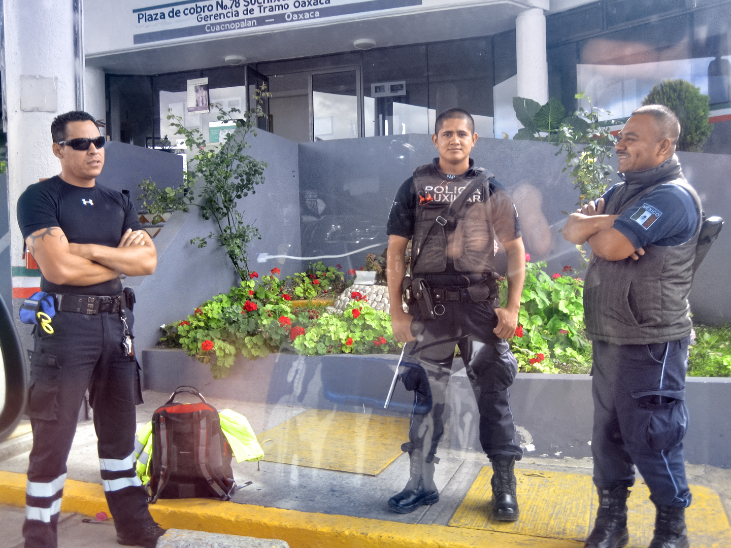
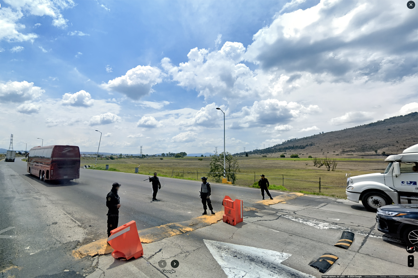
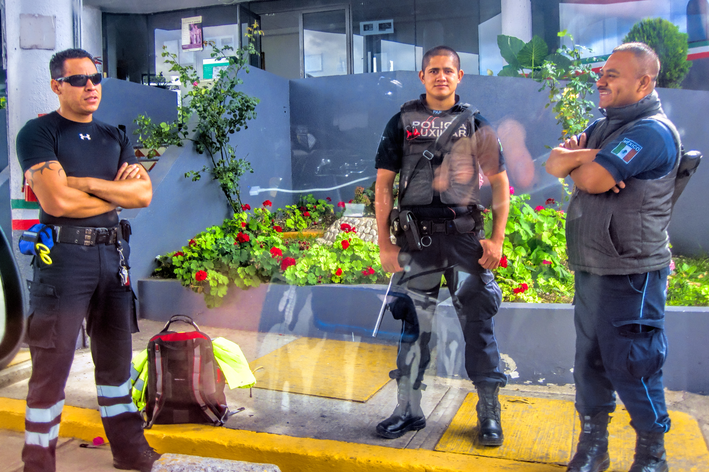
We rolled in to the first major toll plaza at about 8:30, already ahead of our nominal schedule. Michael spotted these three guys (left/above) and talked them into posing for him. I love this picture! It puts a very human face on the police presence in Mexico. These gentlemen are first responders, heroes who face danger for a living. They were posted there at that toll plaza to protect travelers like us, and I actually did feel a mite safer, just seeing them there.
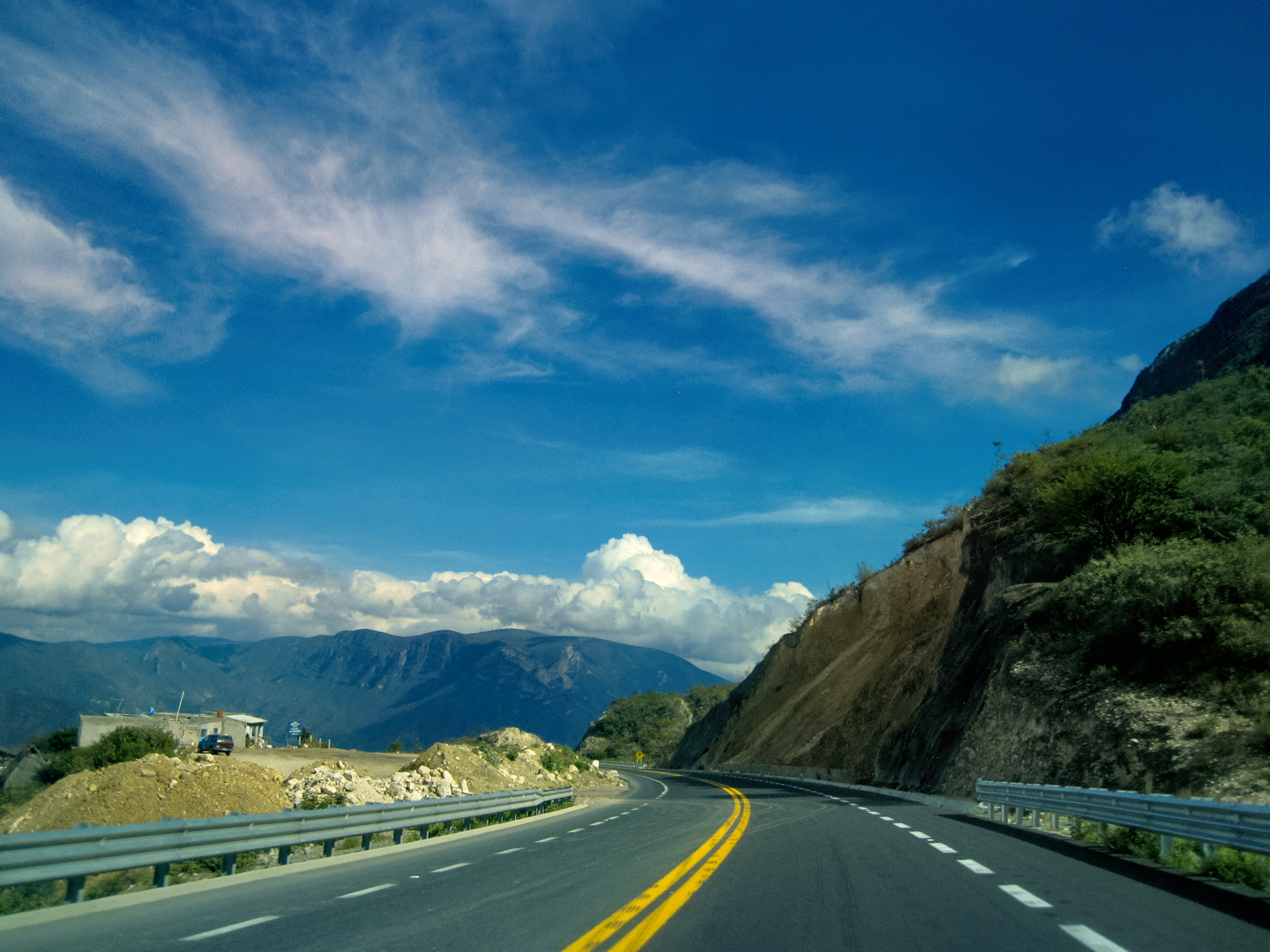
After the toll plaza: more beautiful mountain roads!
CLICK ANY MAP OR PHOTO TO EXPAND THE IMAGE
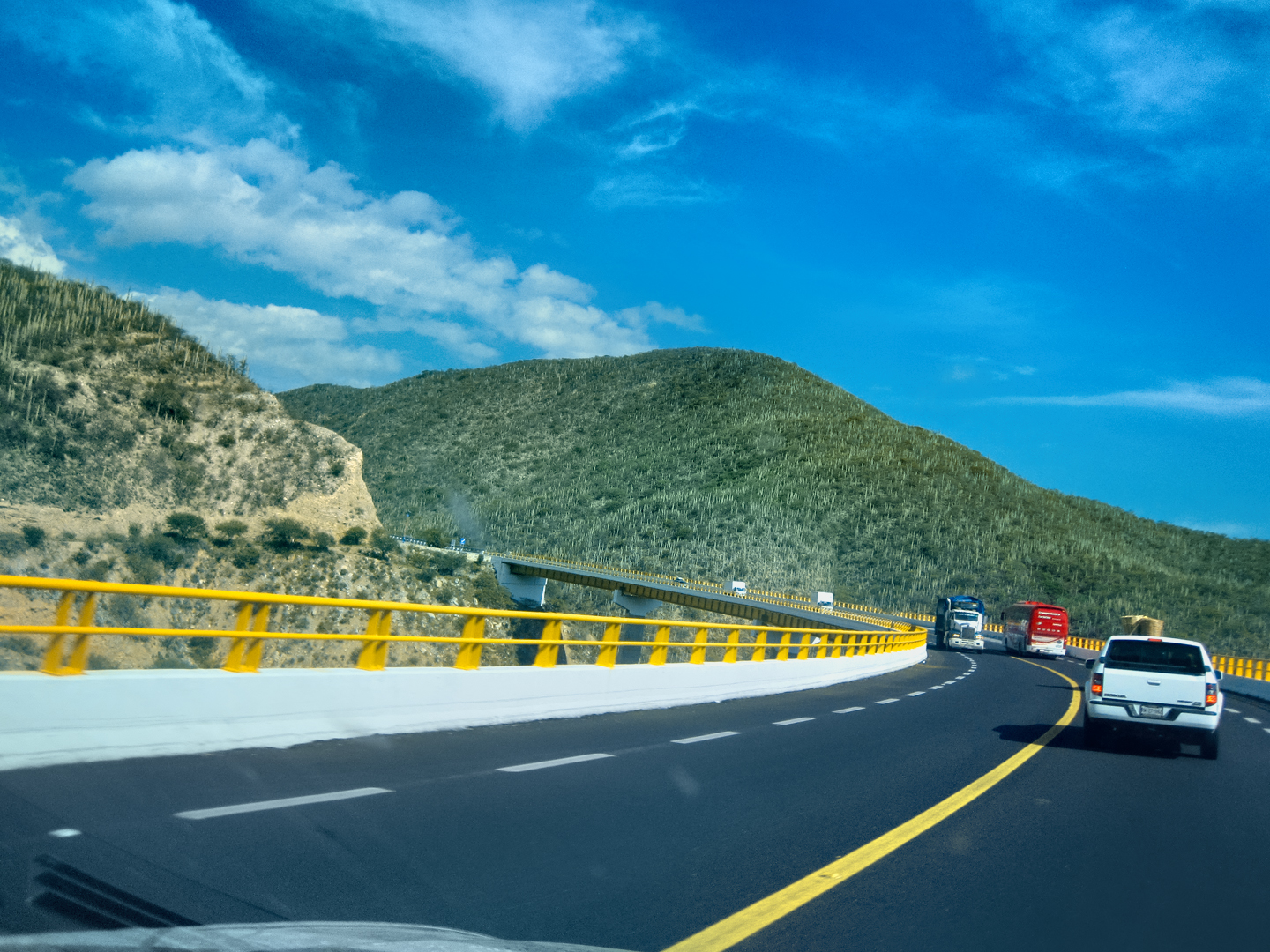
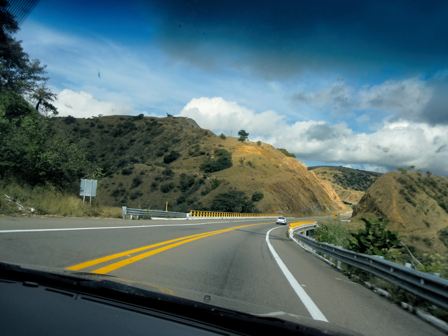
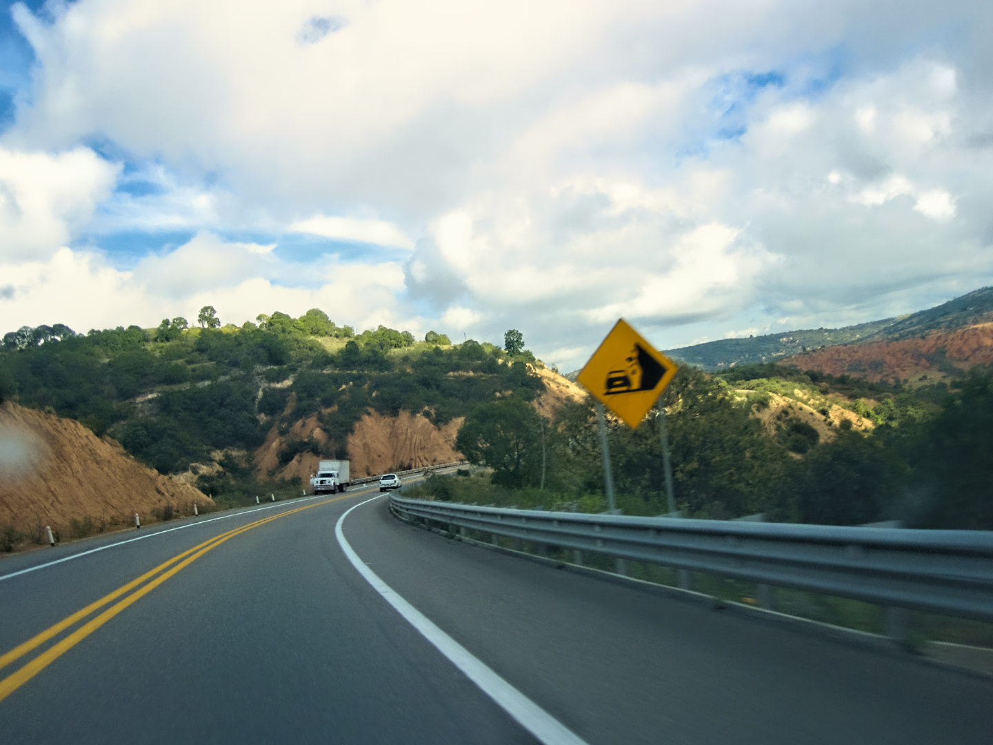
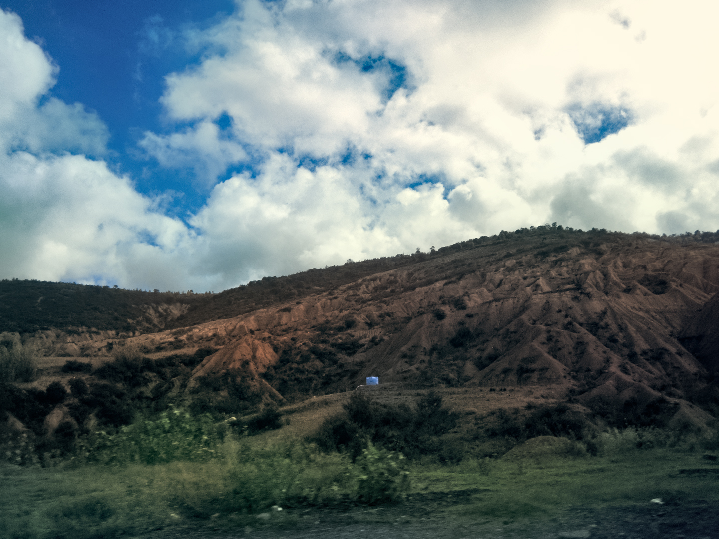
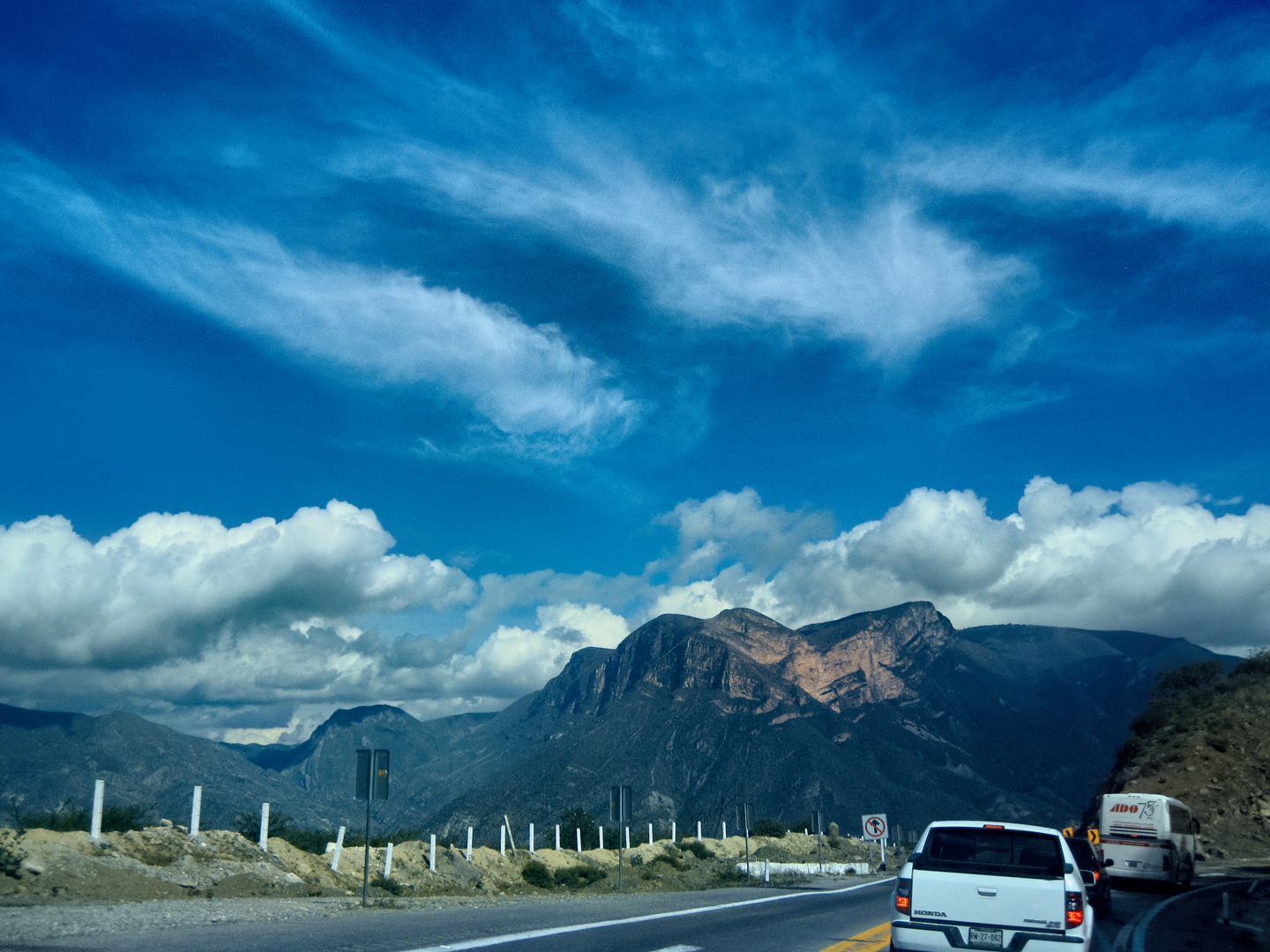
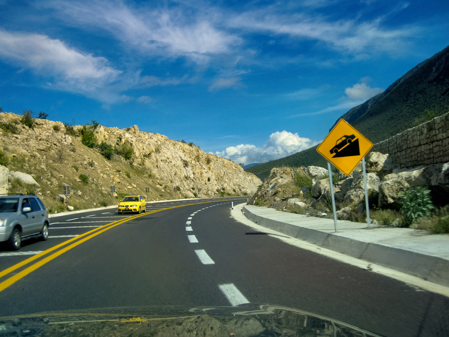
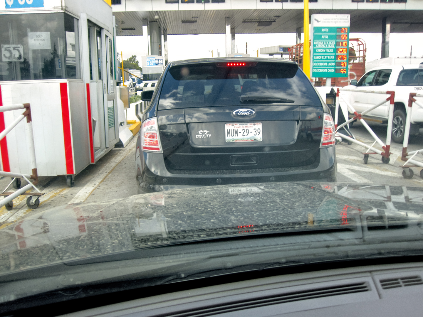
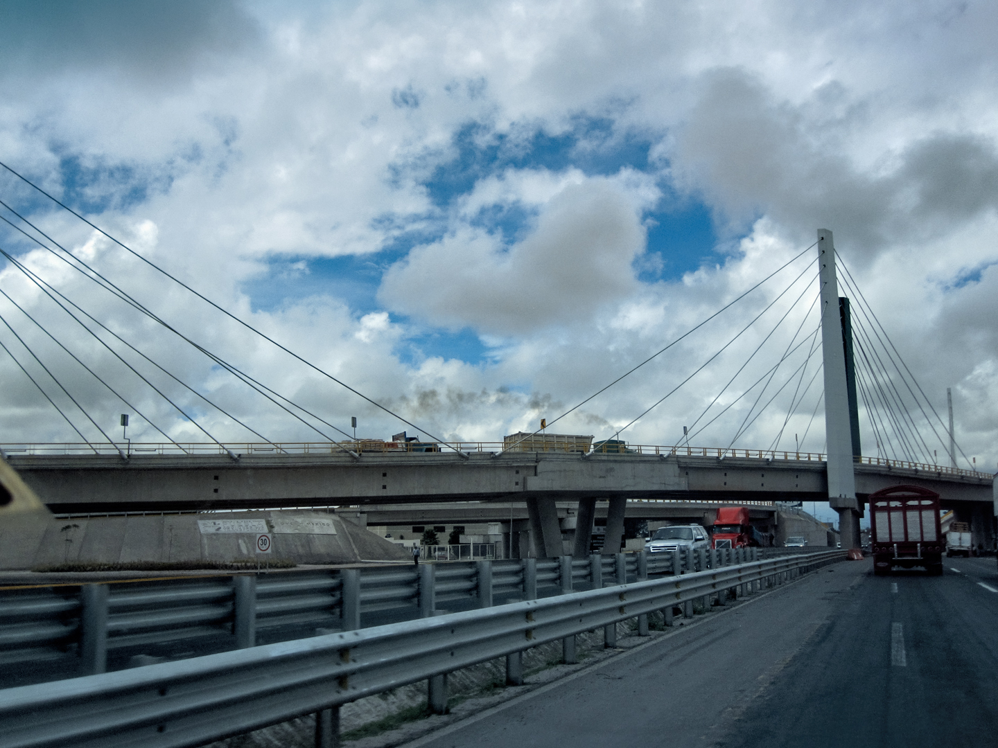
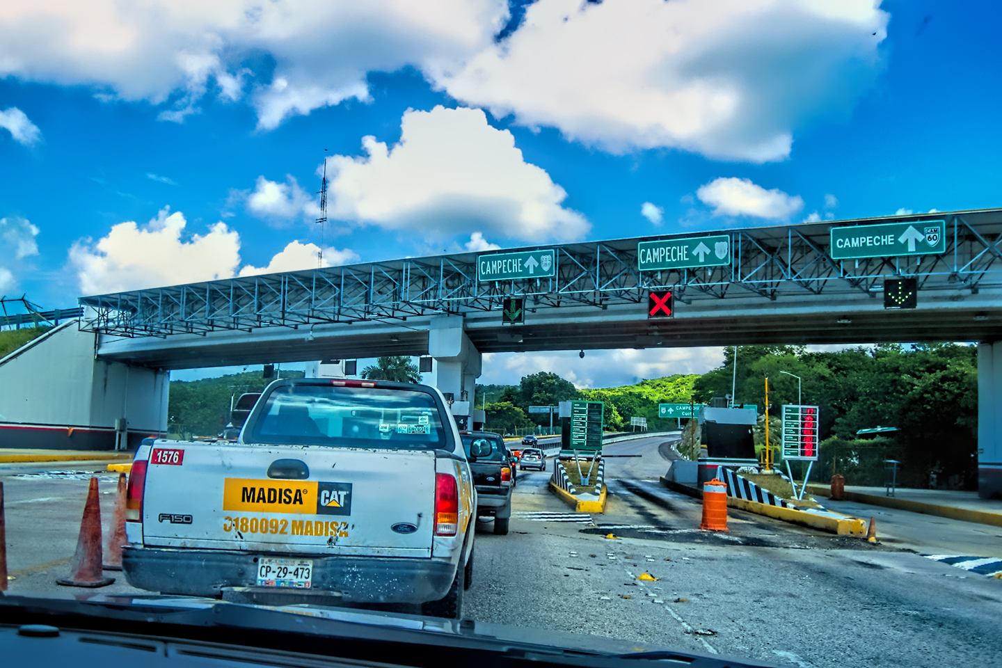
We arrived at the next toll plaza an hour or so later, and at that point the terrain started to level off. There were still plenty of mountains, but they were mountains off in the distance, along the horizon, so the highway was straight and flat, with a high speed limit that made it easy to cover distance quickly. At the rate we were going, we’d be in Puebla before lunch time. That was our halfway point, so we were burning up the miles like nobody’s business.
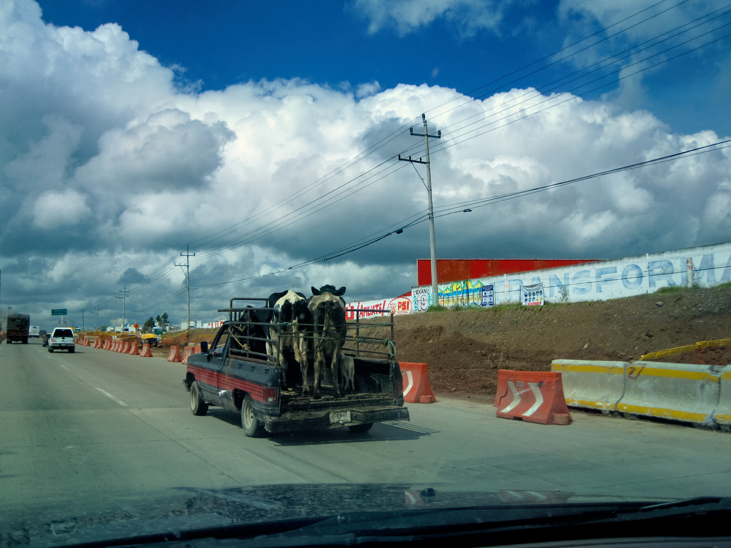
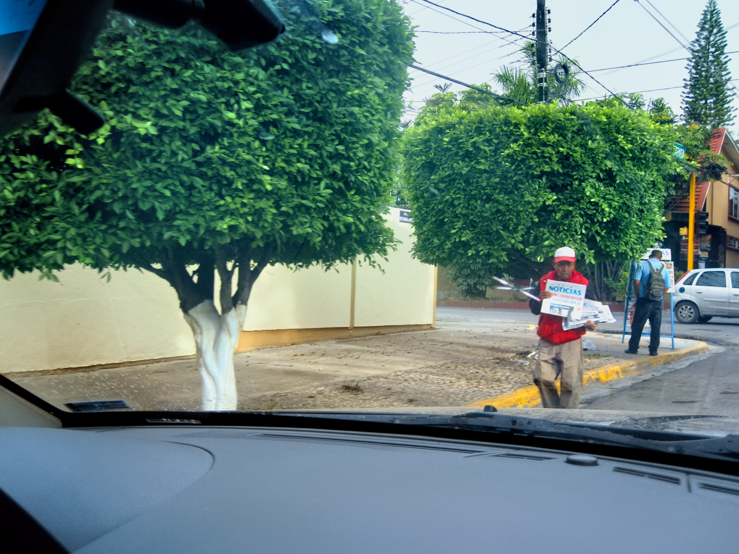
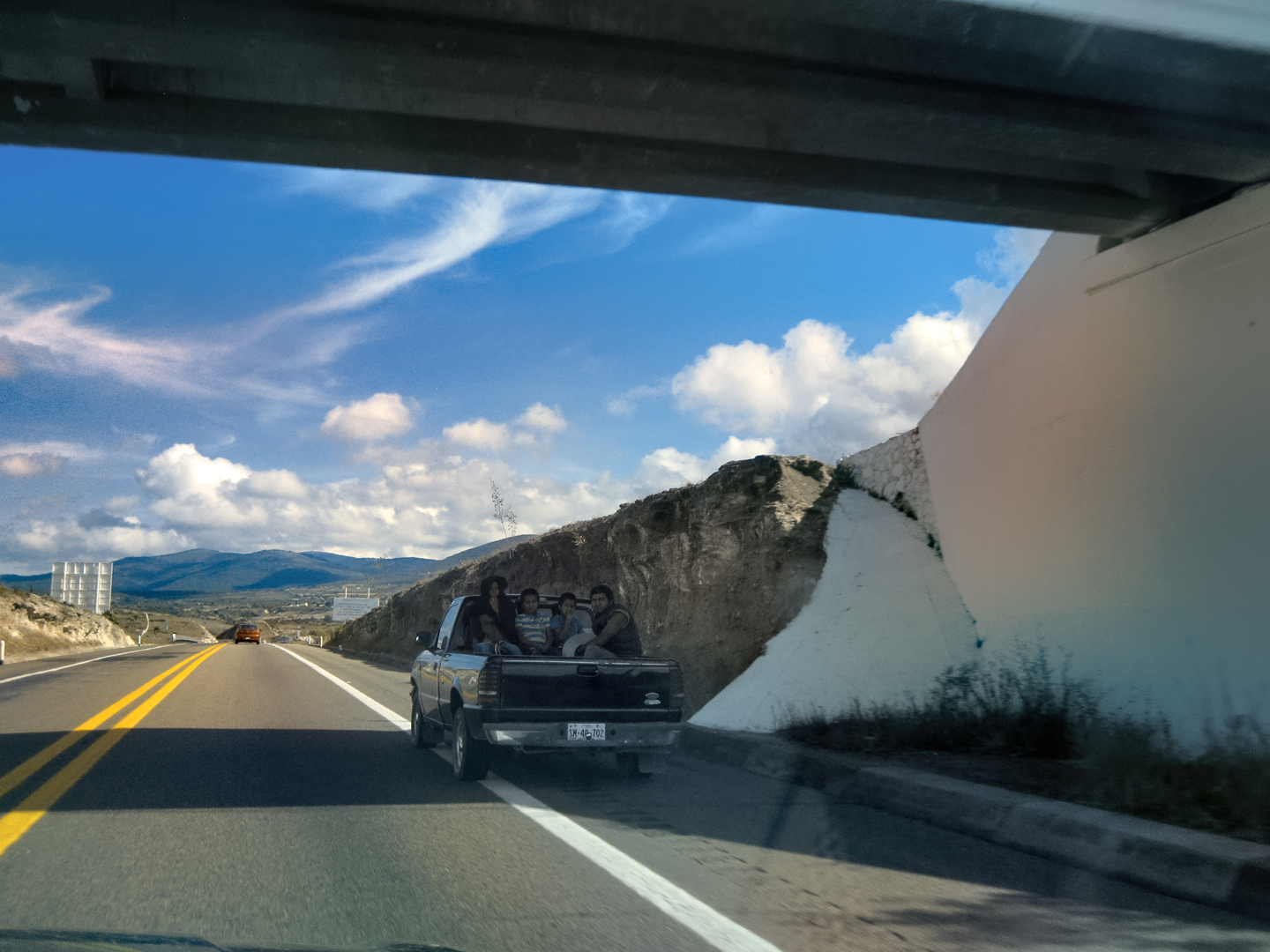
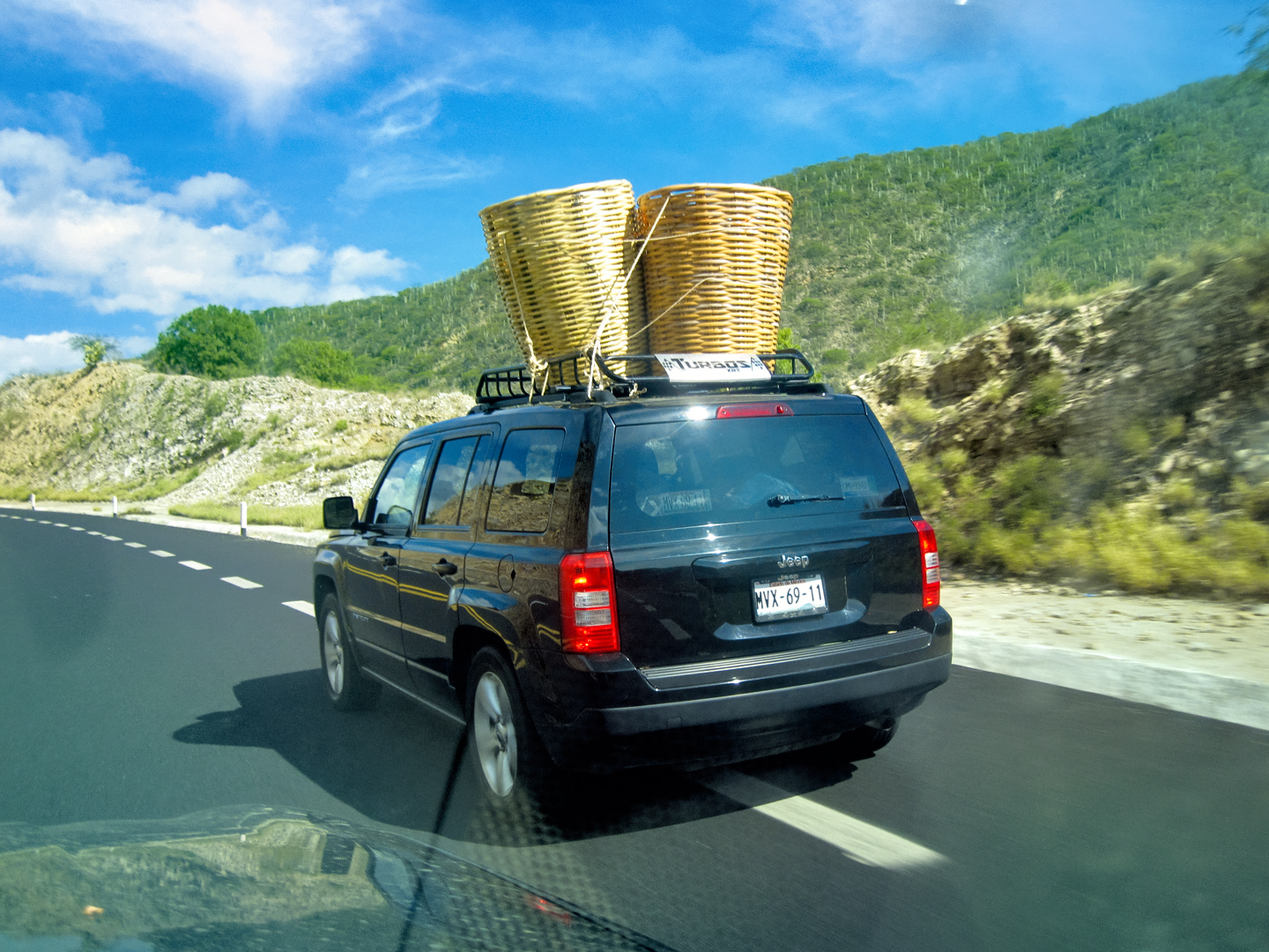
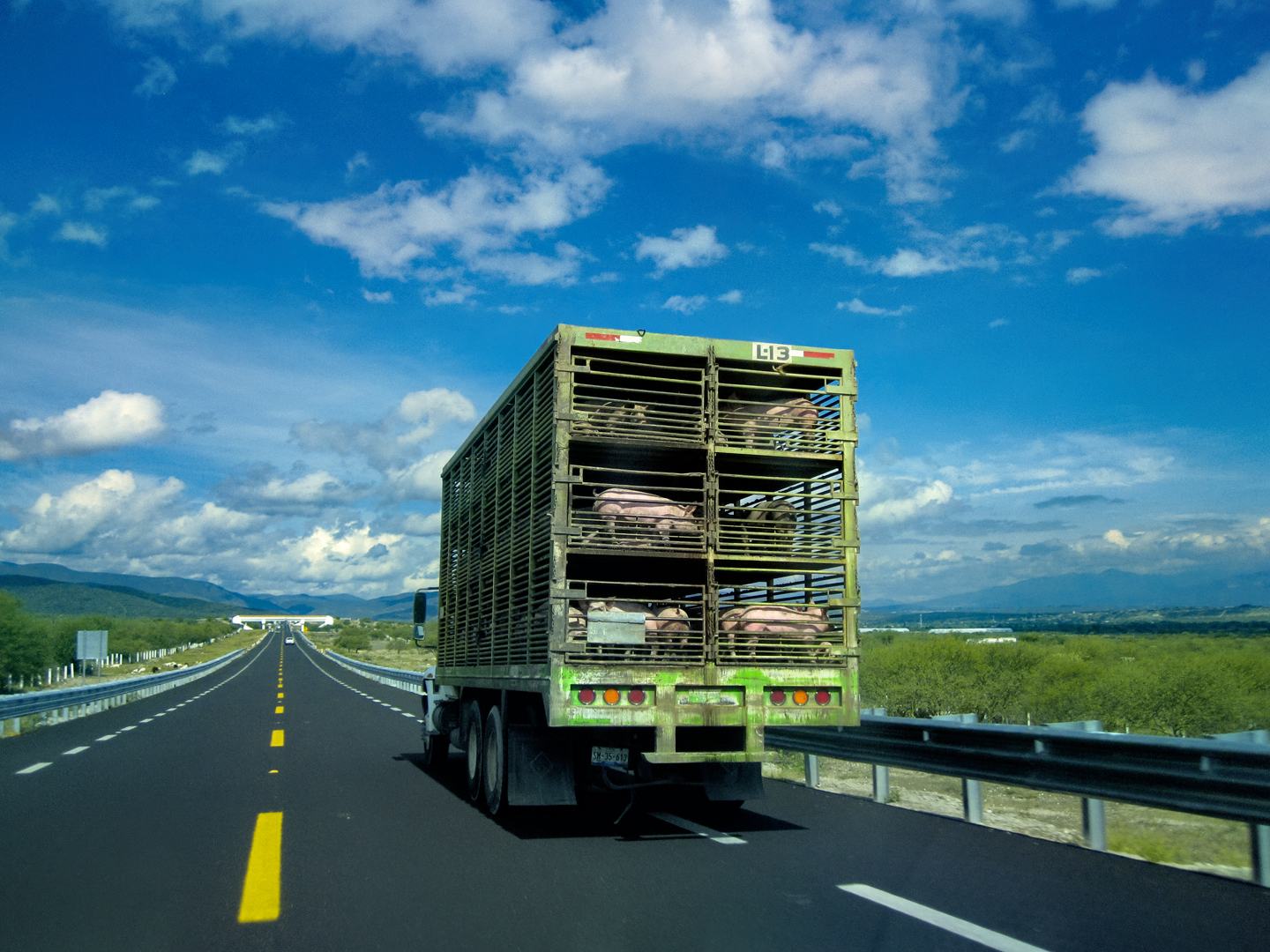
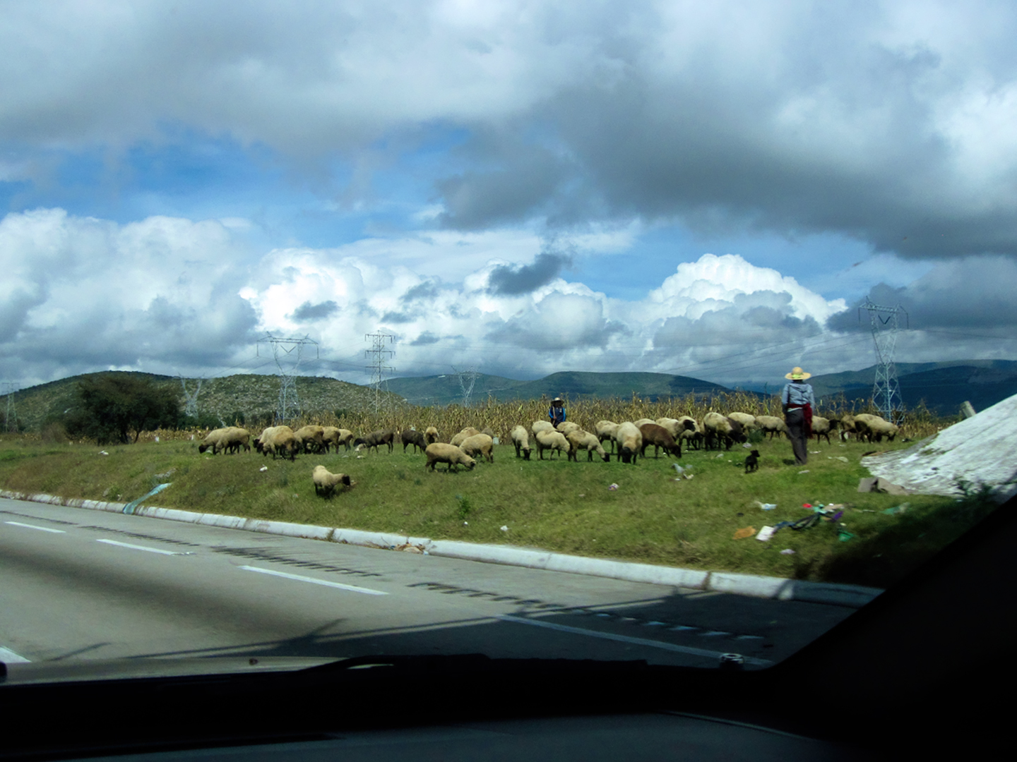
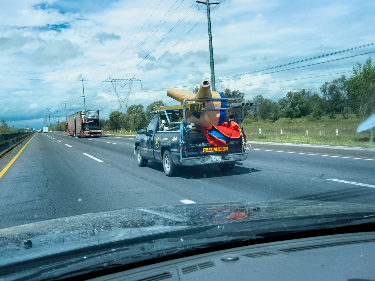
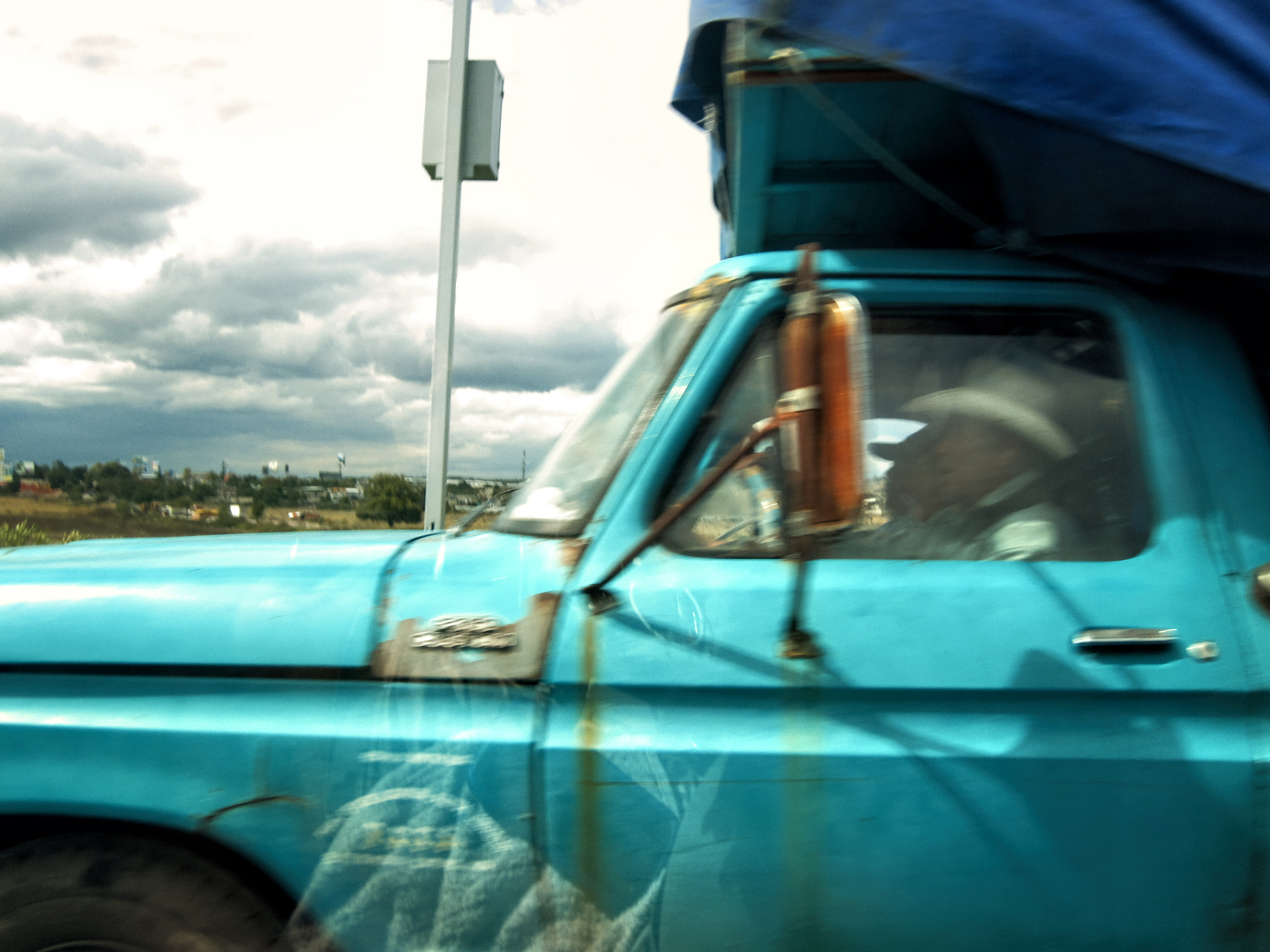
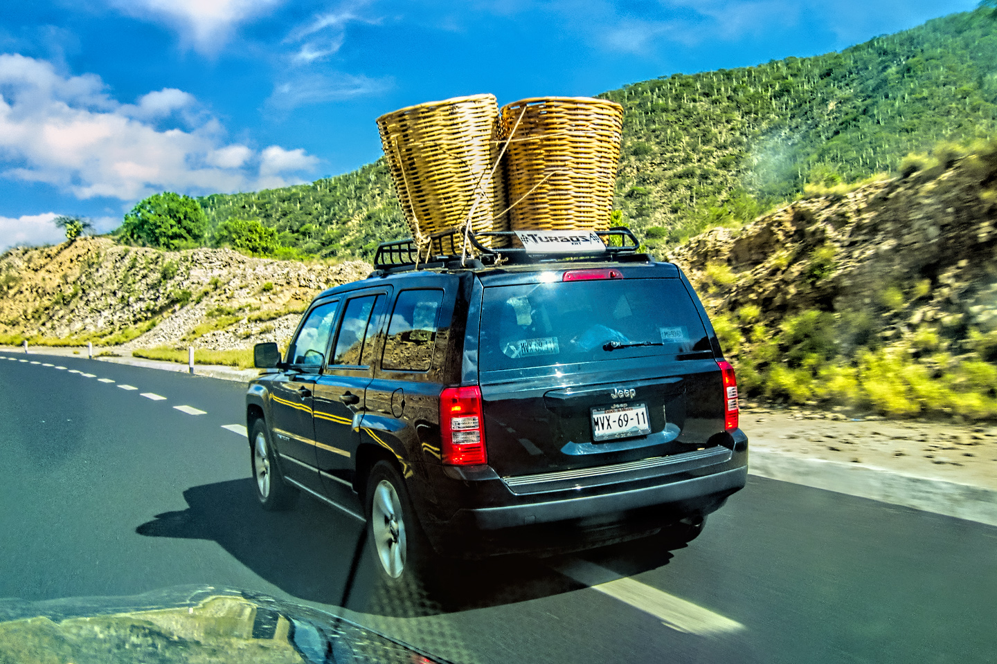
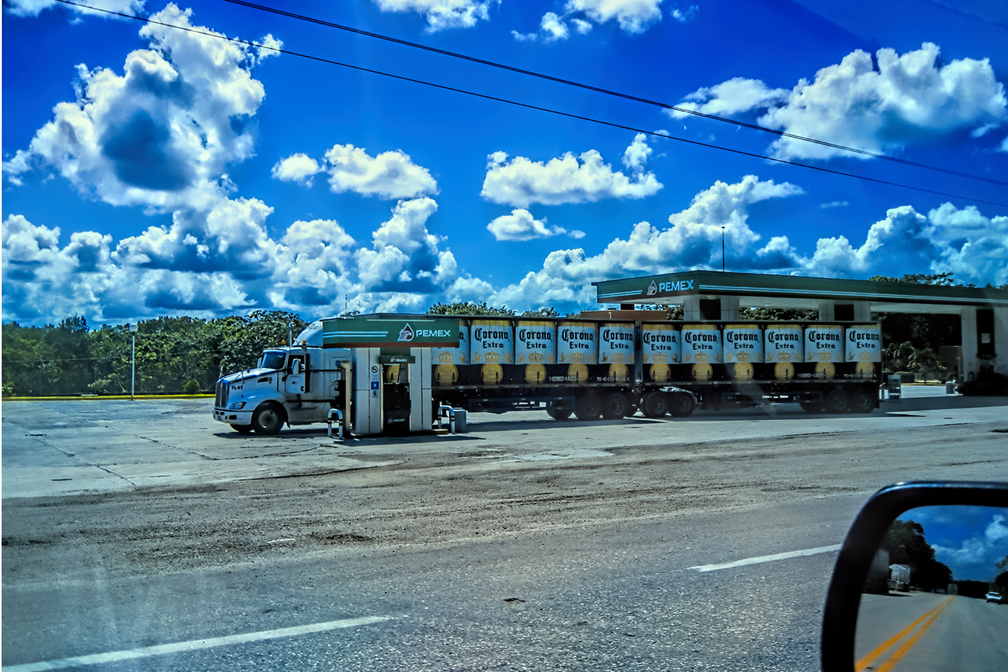
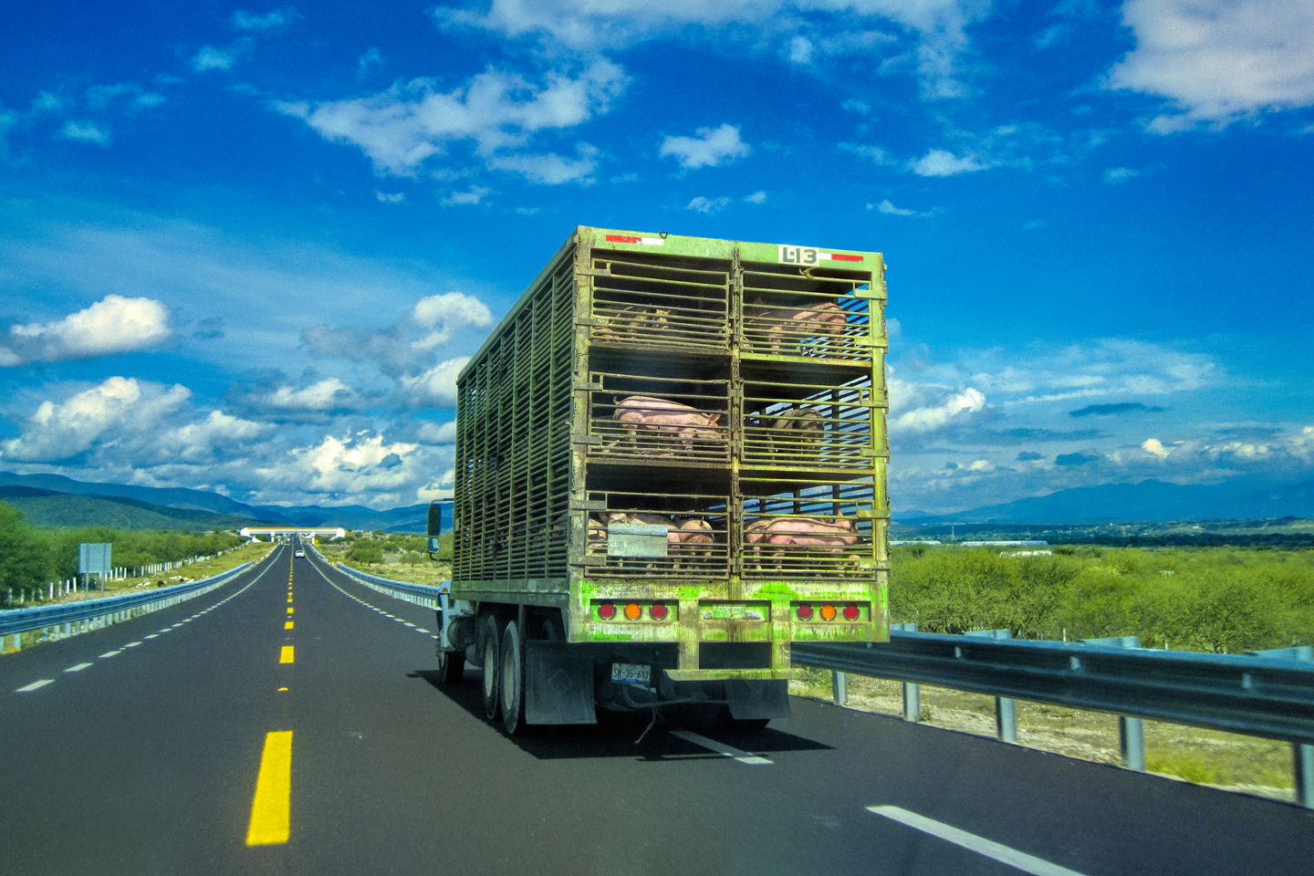
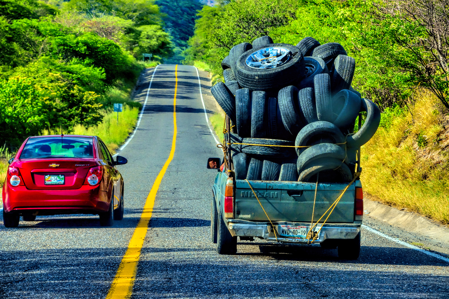
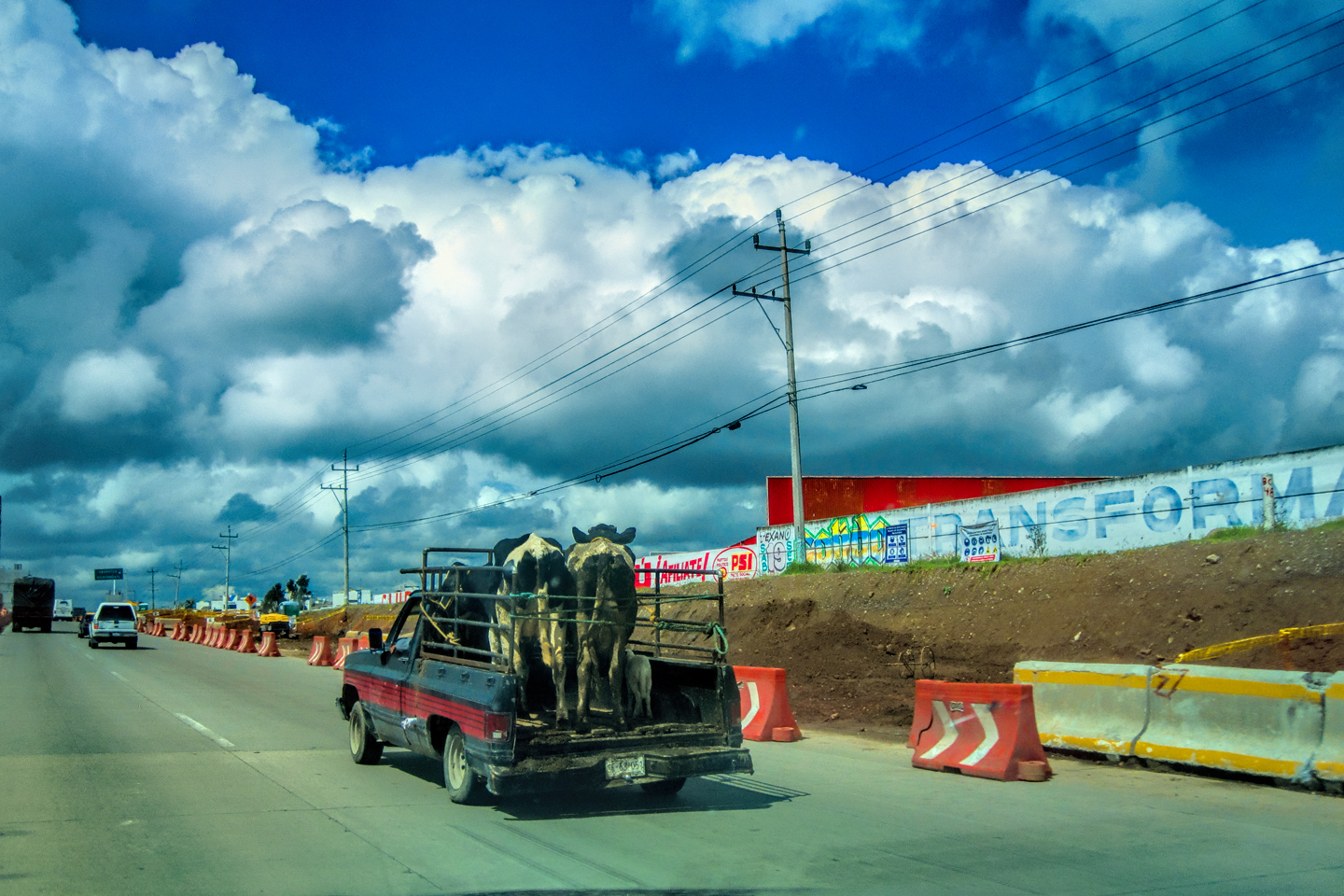
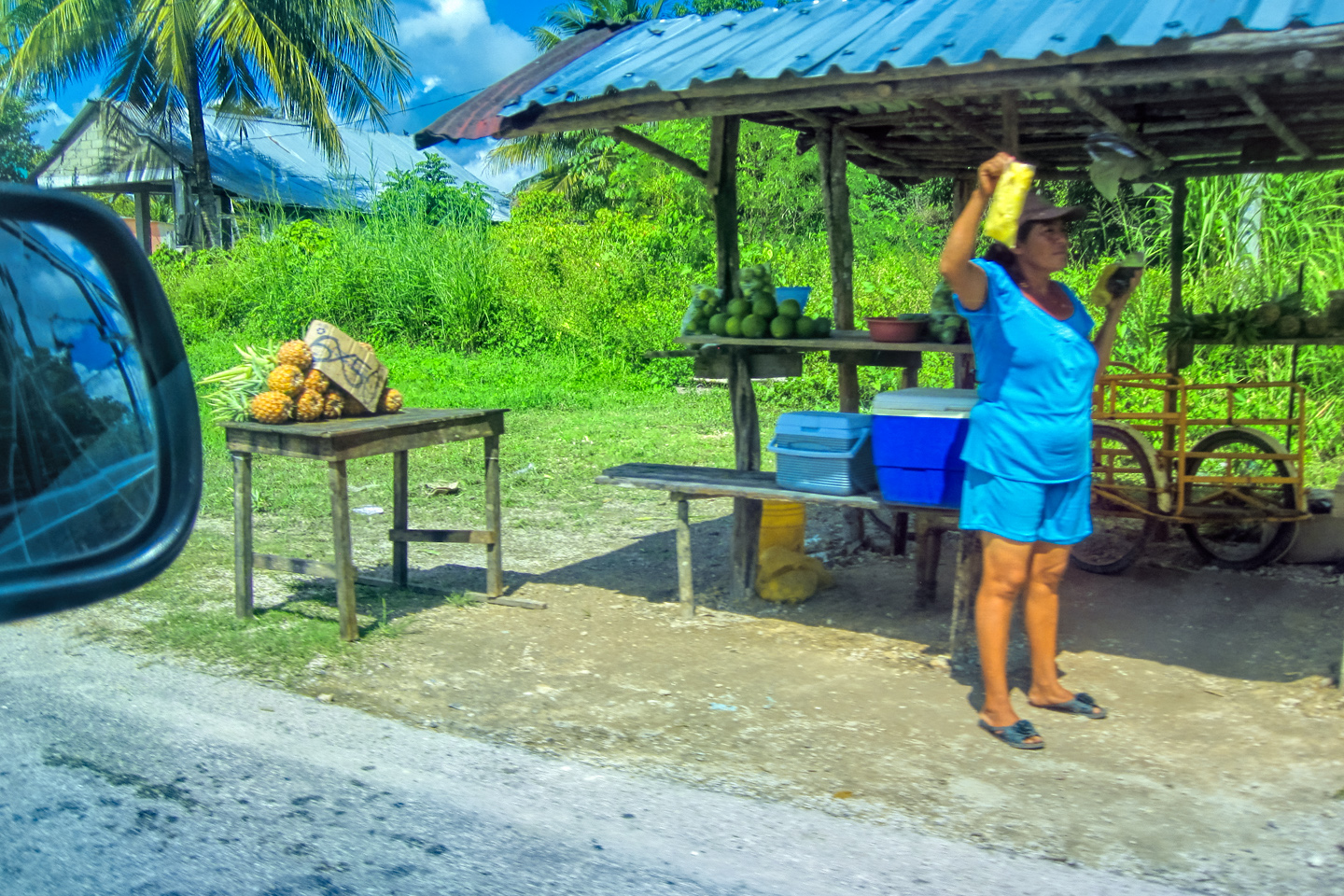
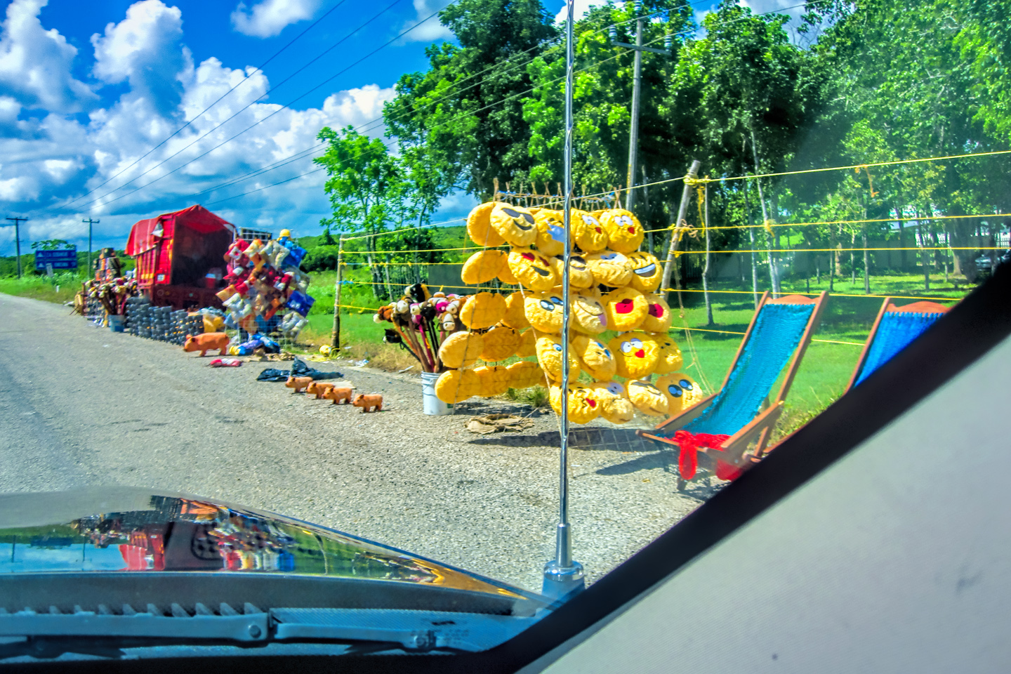
One advantage to the libre (free) Mexican highways that usually parallel the autopistas is the free entertainment. You see so much wacky stuff, especially when passing through the small towns. My plan for the day had us staying on the cuotas, so I assumed we’d be missing all the fun. Not so, as it turned out! In central Mexico, even the toll roads are entertaining, with all sorts of bizarre, “only in Mexico” scenarios. I’m particularly fond of this “cattle car,” (left/above); a half-ton pickup hauling two full grown cows and a calf (or is it a goat?)!
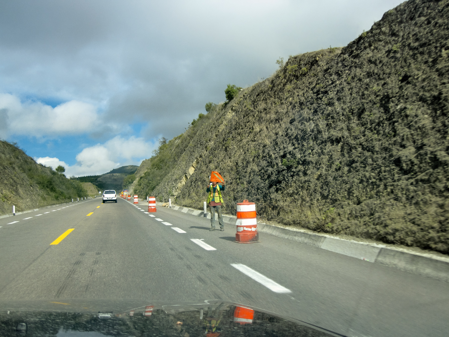
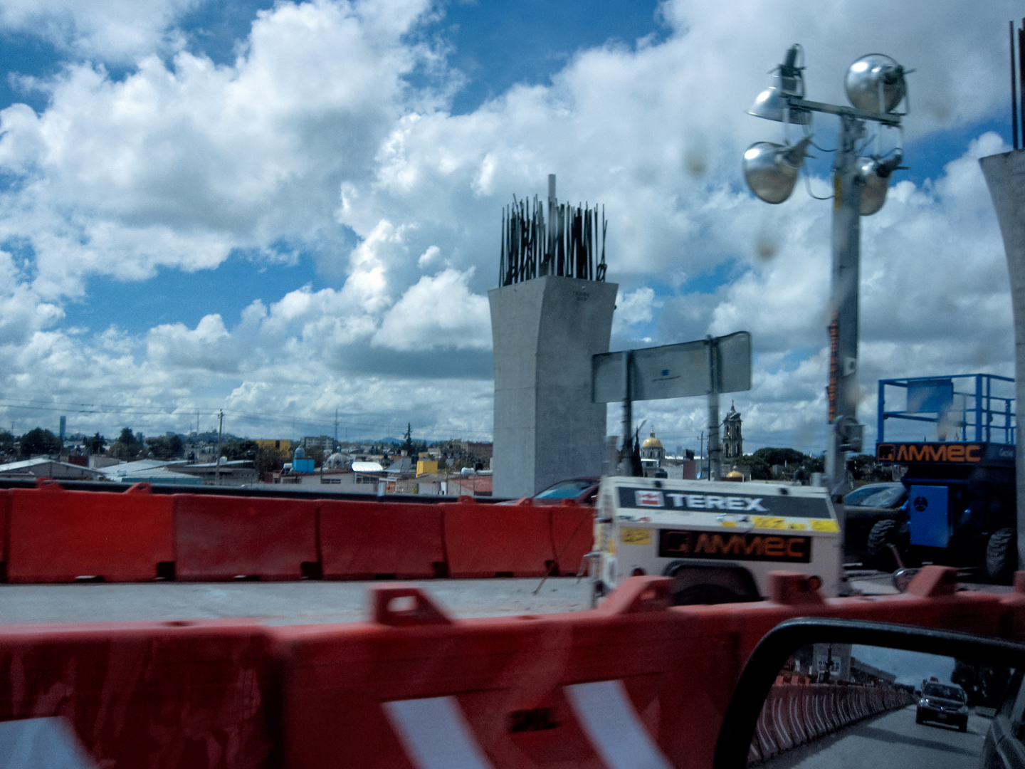
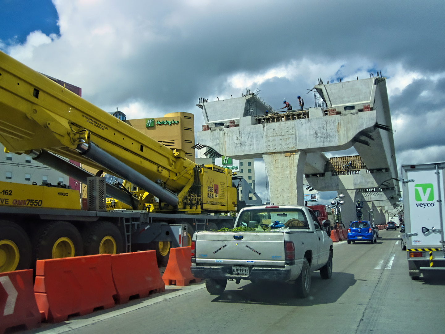
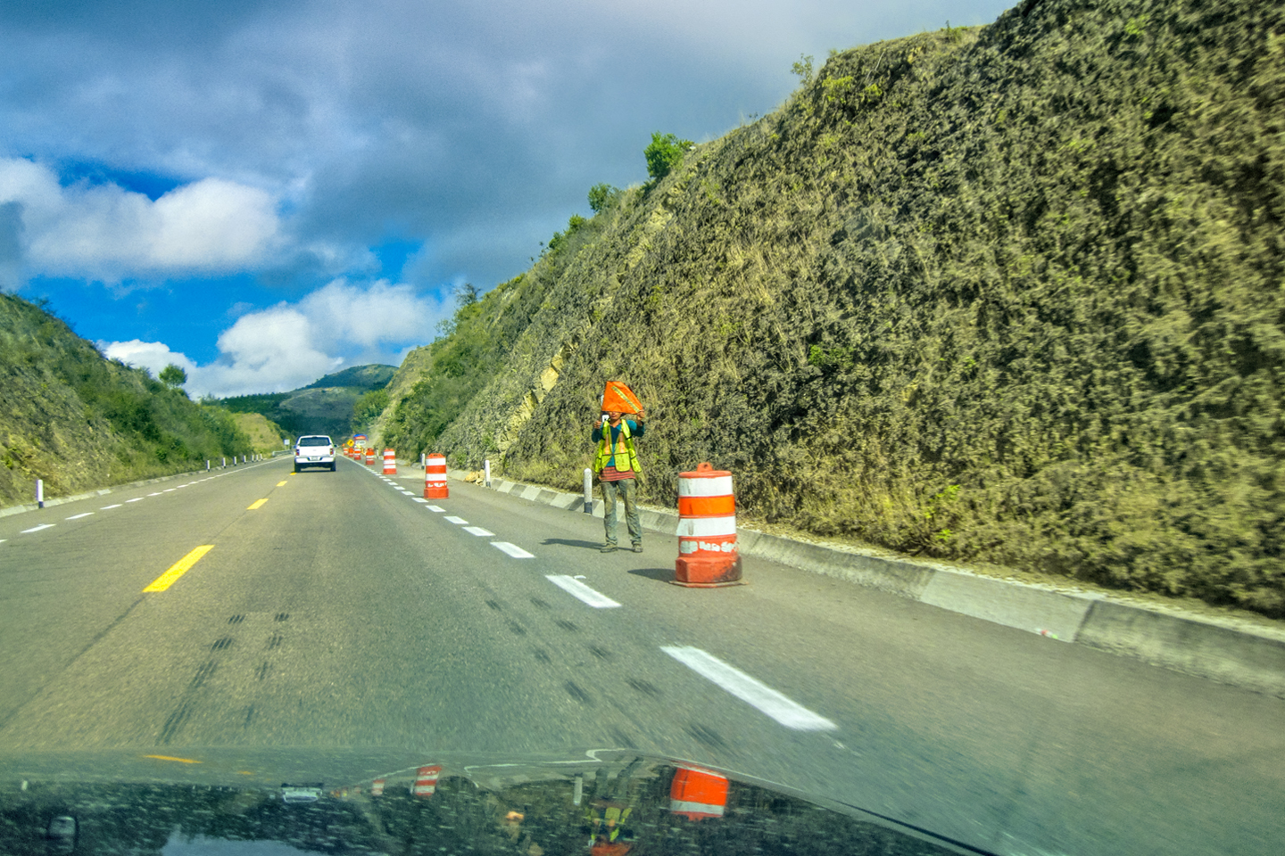
By just a bit after 11 AM, we were already rolling into Puebla, where there was major construction happening, adding an overpass to the very highway we were driving on. Traffic was a total mess, but we finally got through the work zone, and back on the open road.
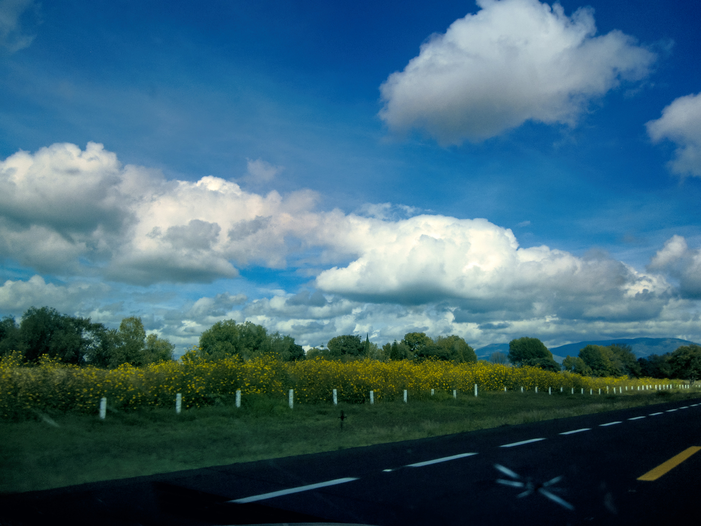
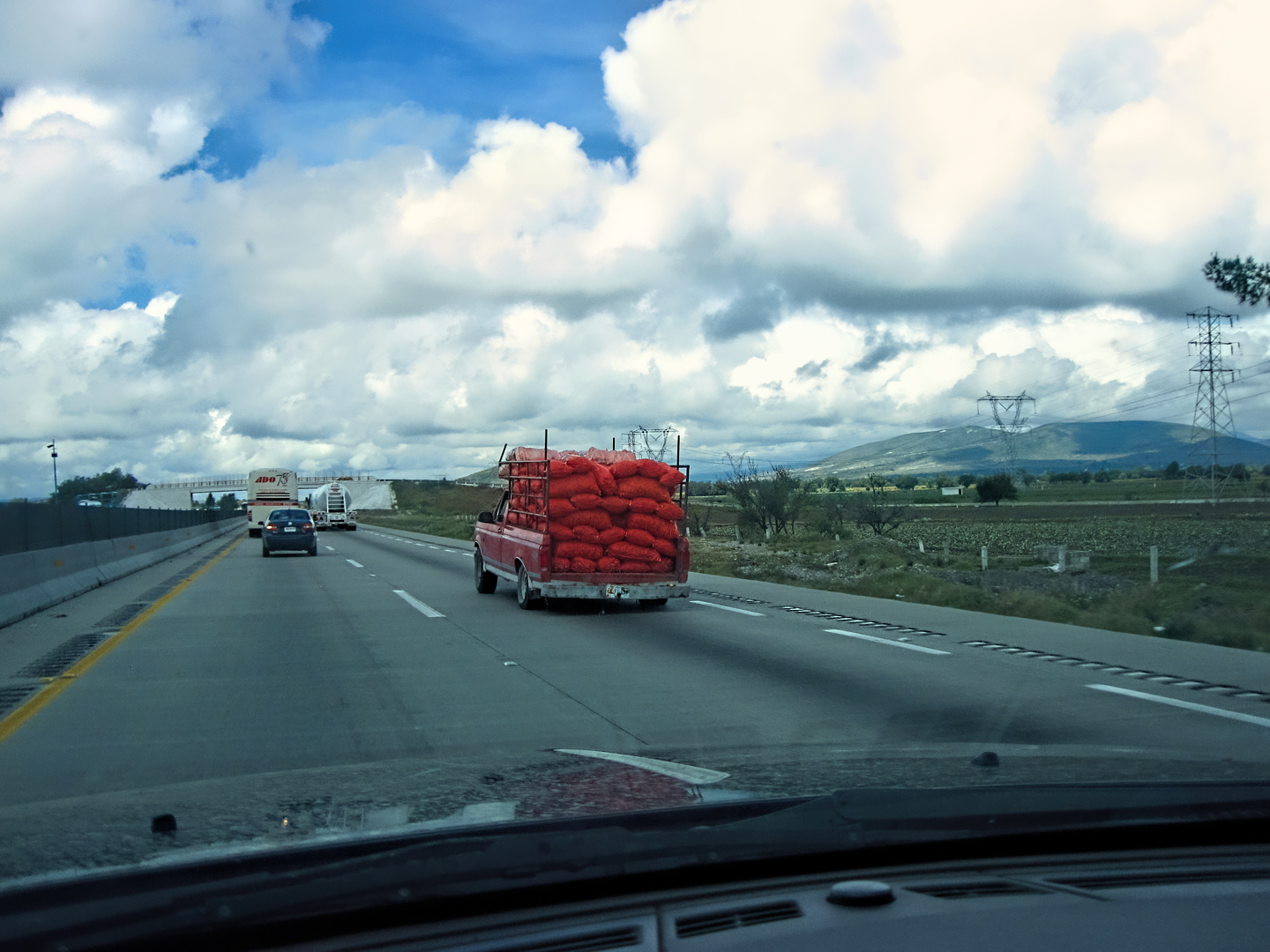
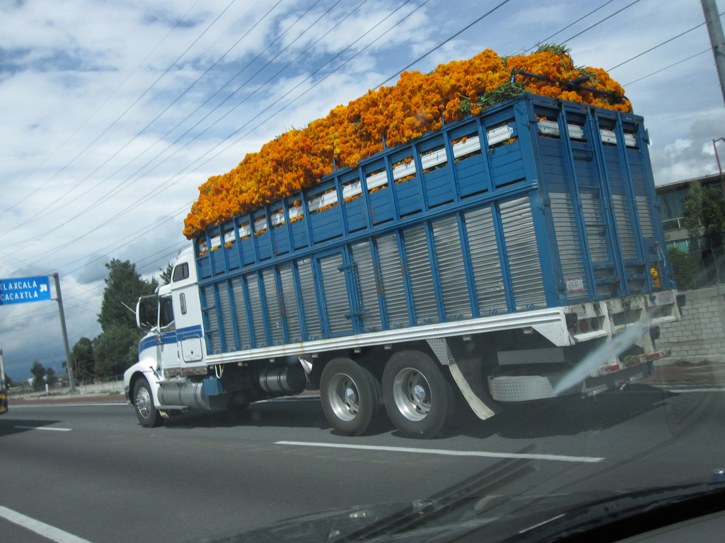
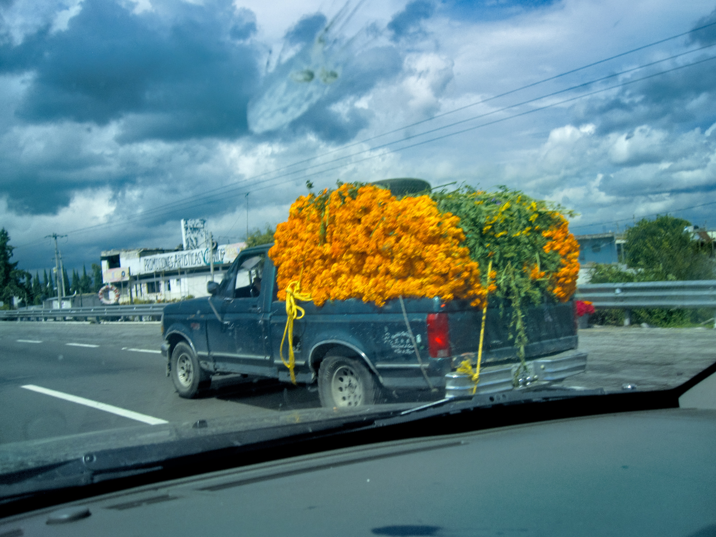
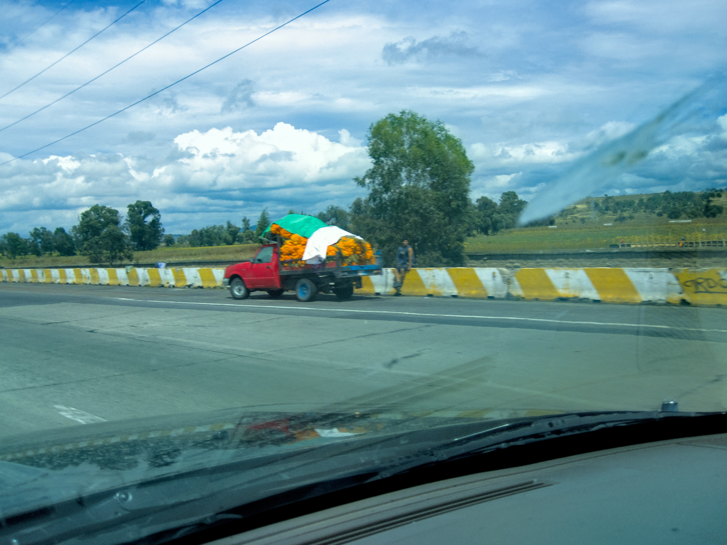
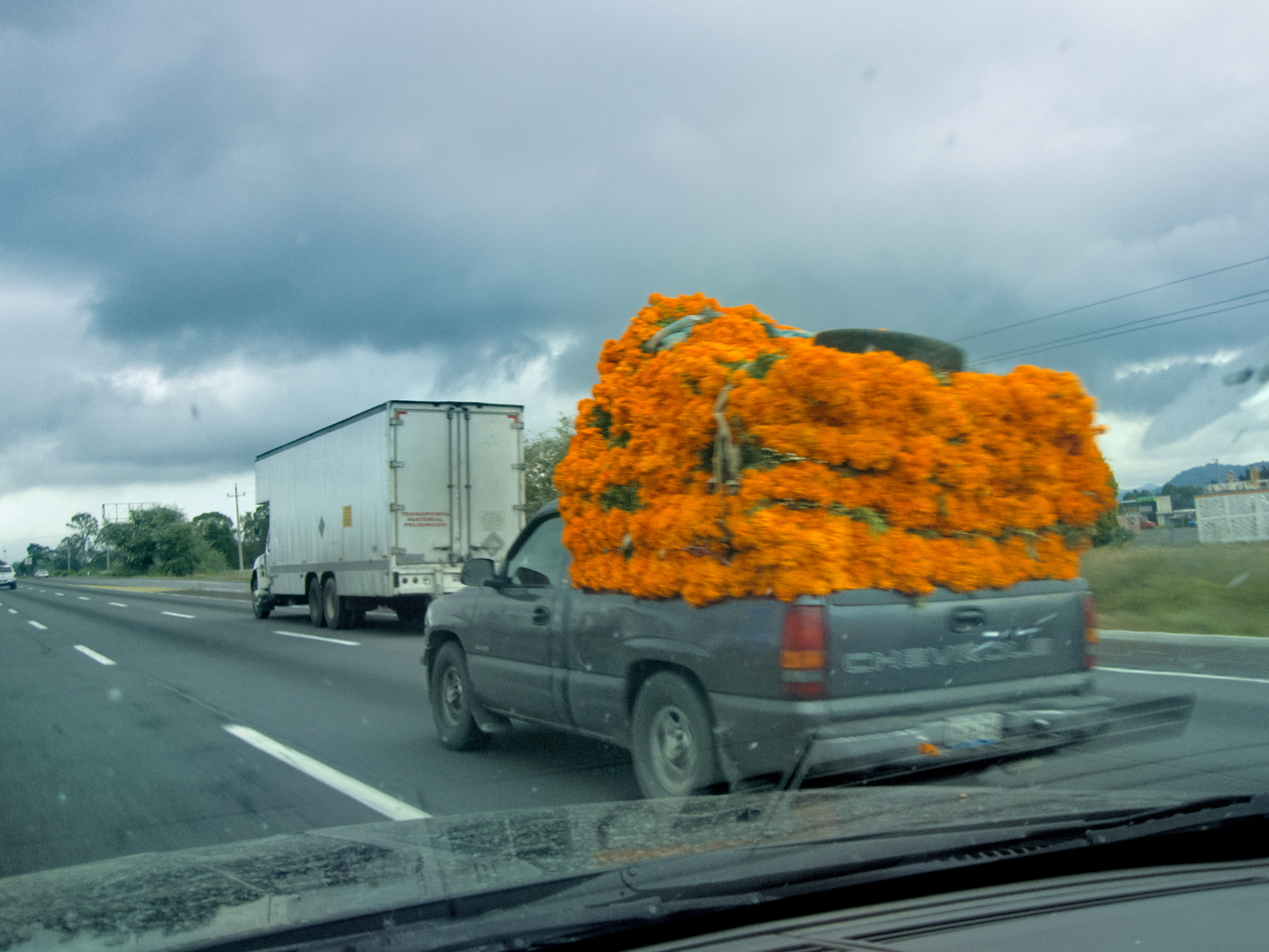
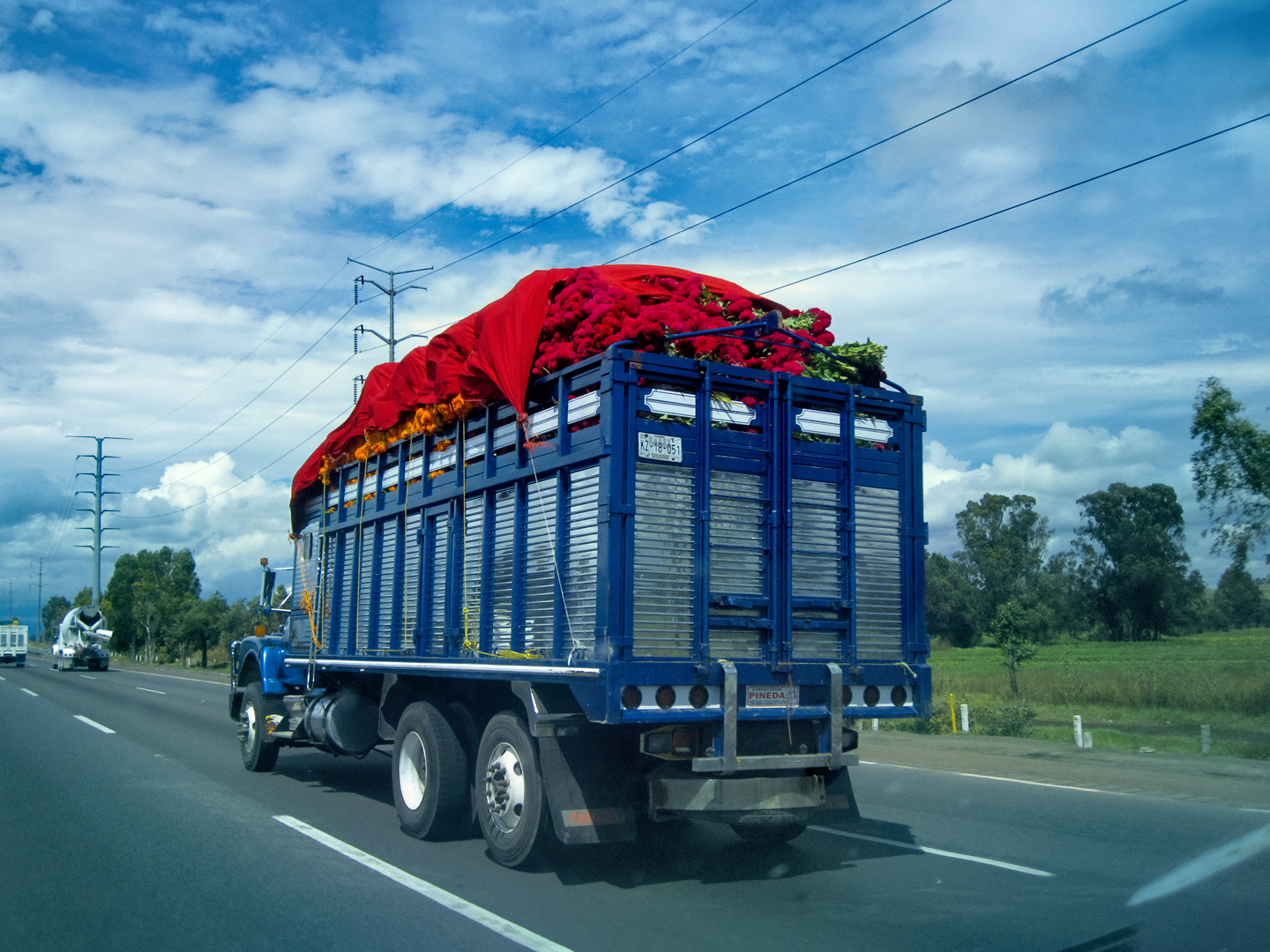
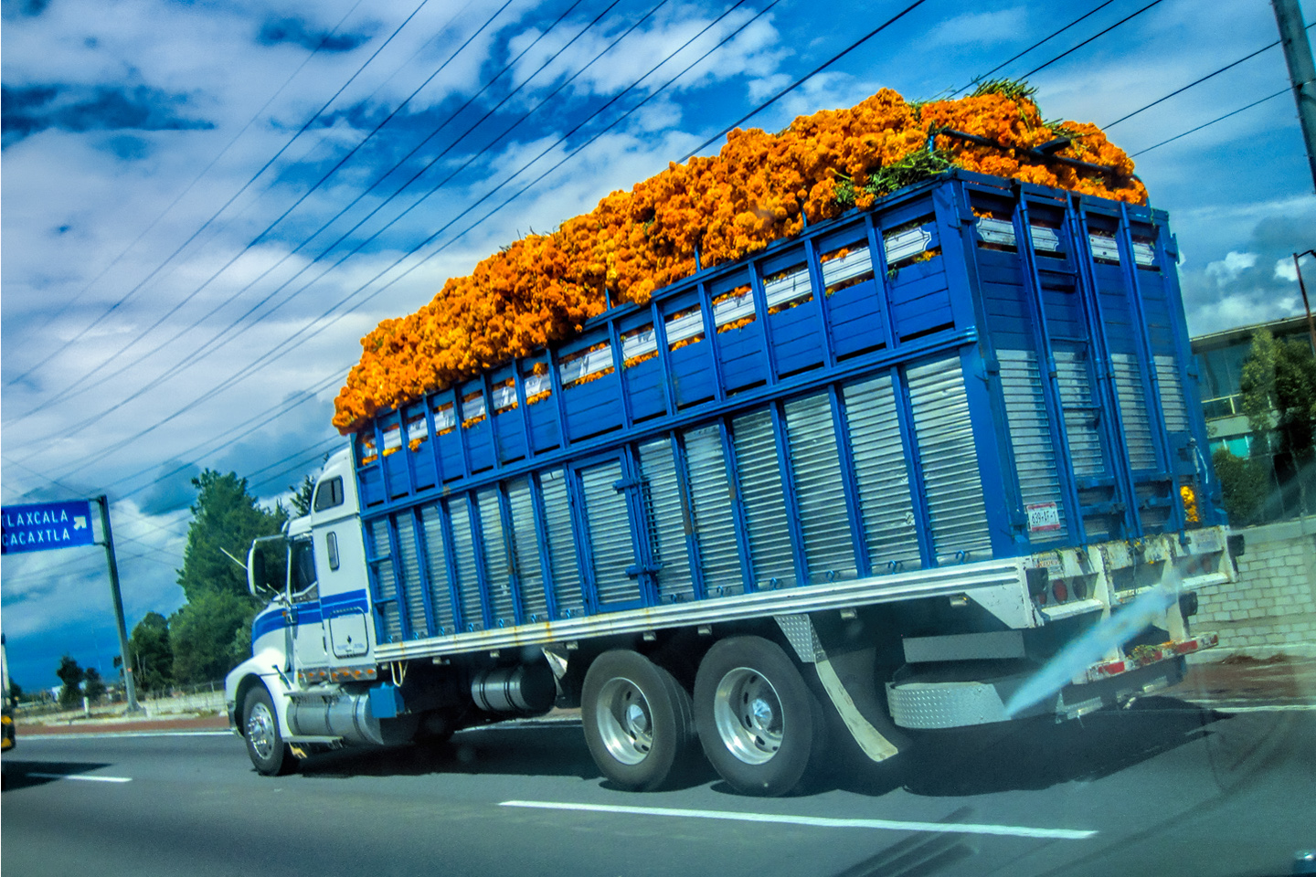
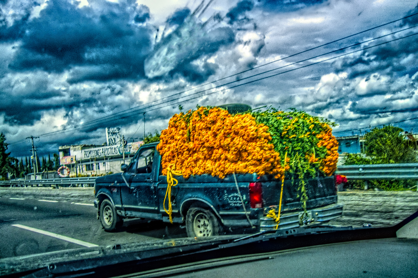
After Puebla, we started seeing truckloads of cut flowers, mostly yellow-orange marigolds destined for the upcoming Dia de los Muertos celebrations in the cities and towns surrounding Mexico’s capital. Marigolds are used to decorate the altars, known as ofrendas, put up by families to honor deceased relatives during the three days of the holiday. The bright color and strong scent of the blooms is thought to attract the spirits of the departed, so they really pile them on. The displays pop up everywhere: in parks and cemeteries, on street corners, in the plazas, so many flowers, the trucks we were seeing were only the beginning.
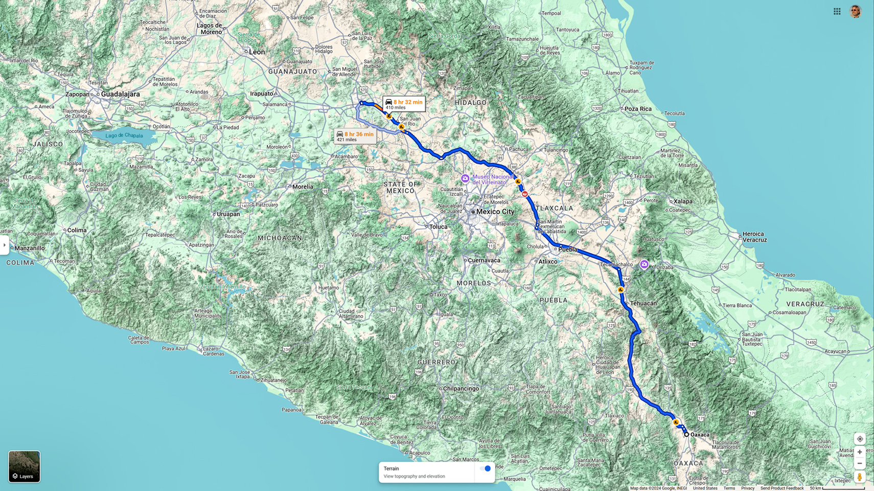
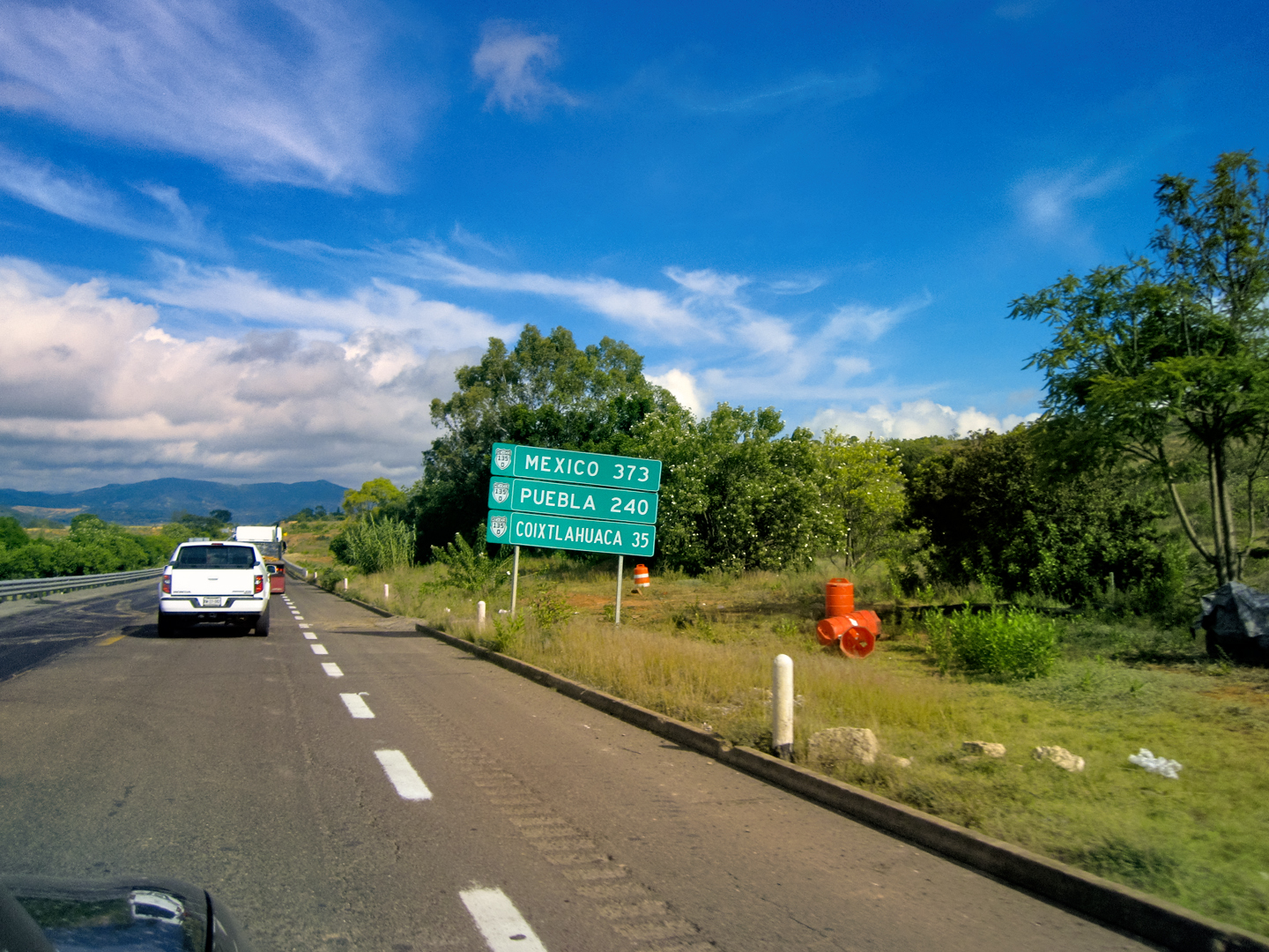
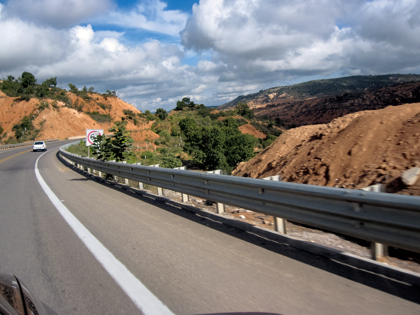
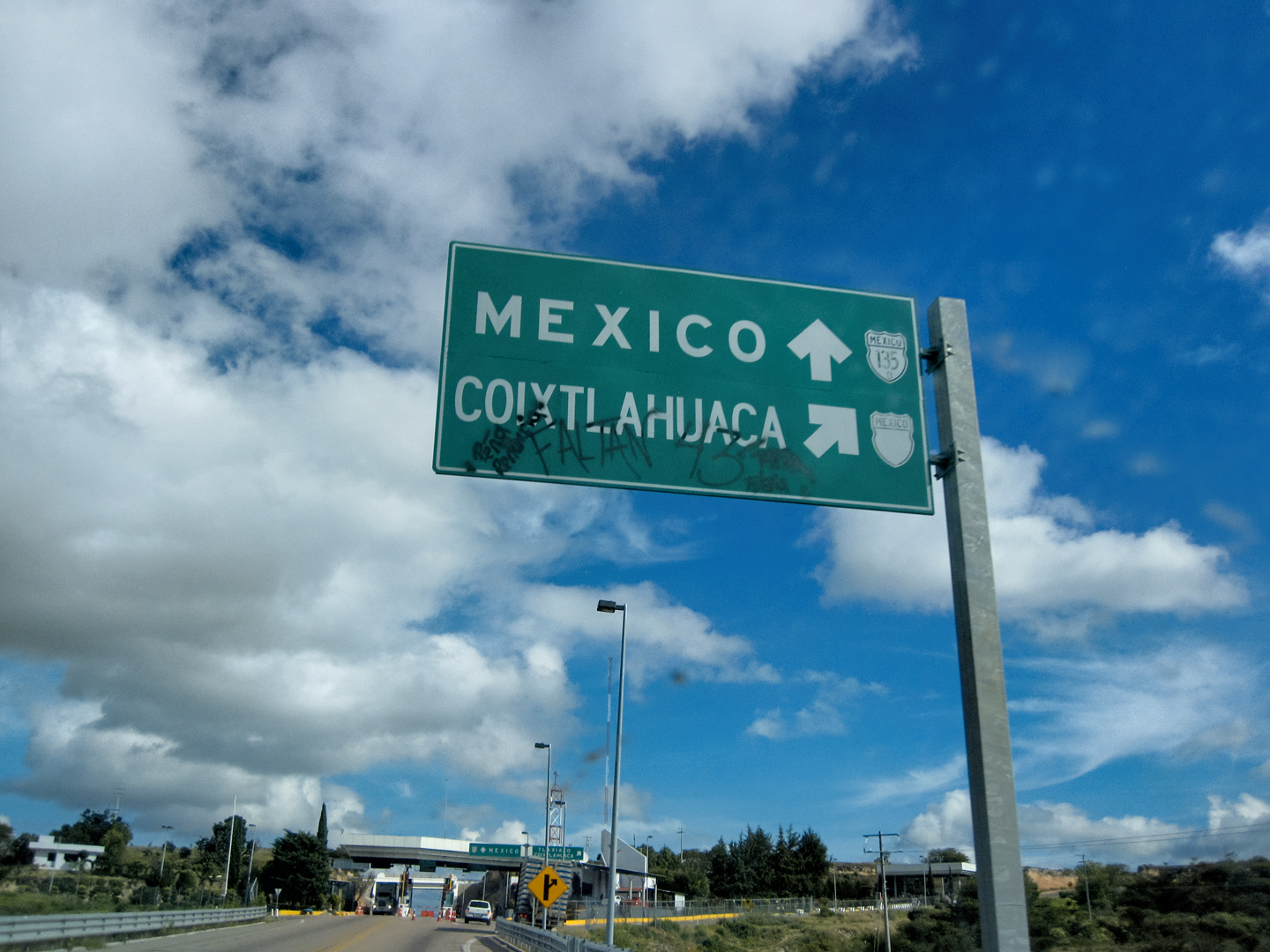
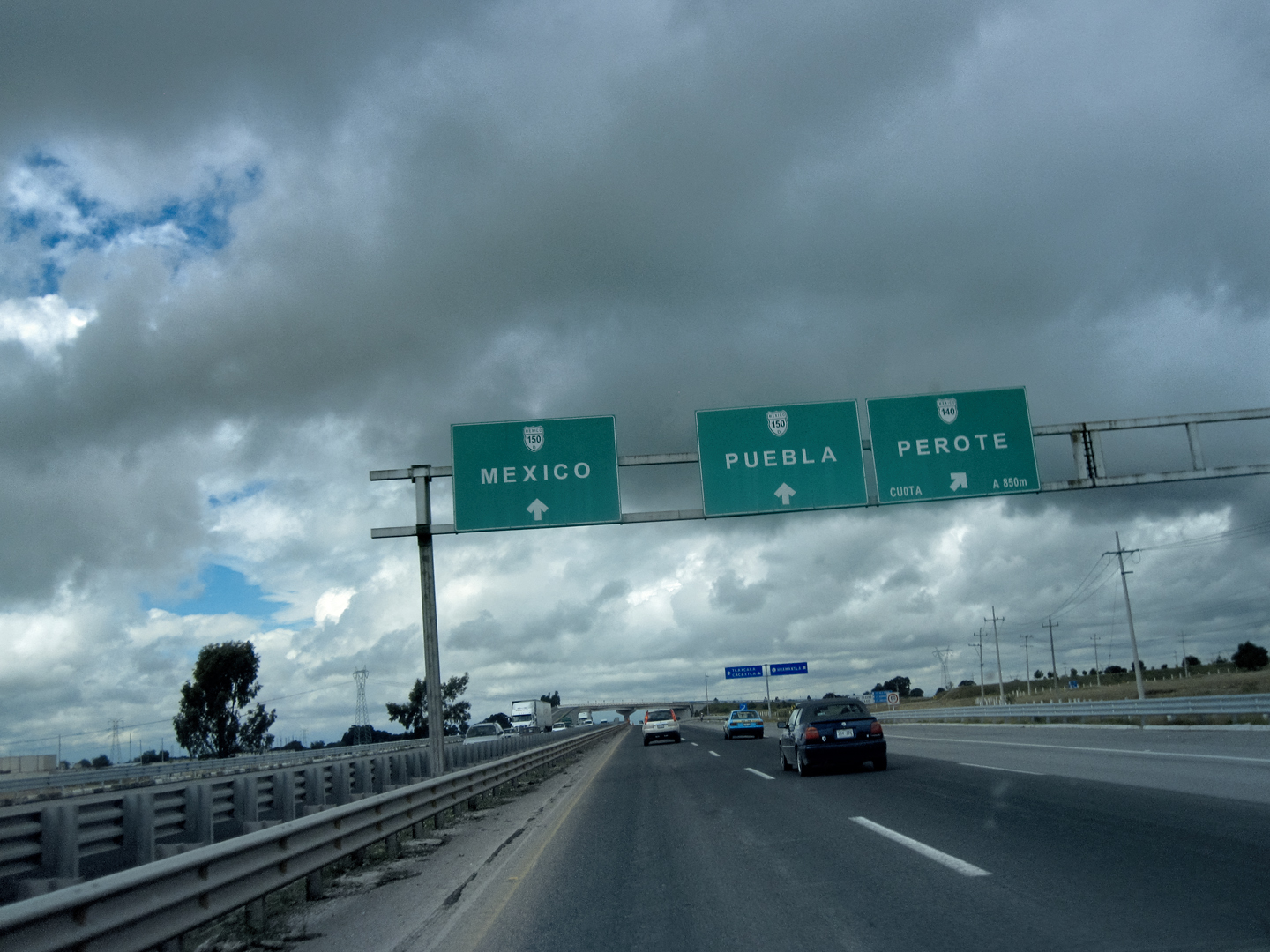
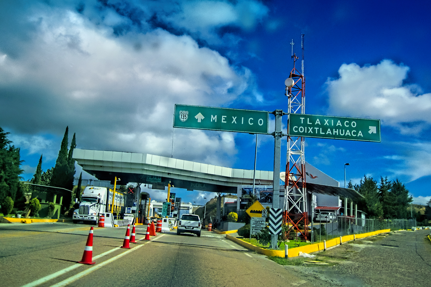
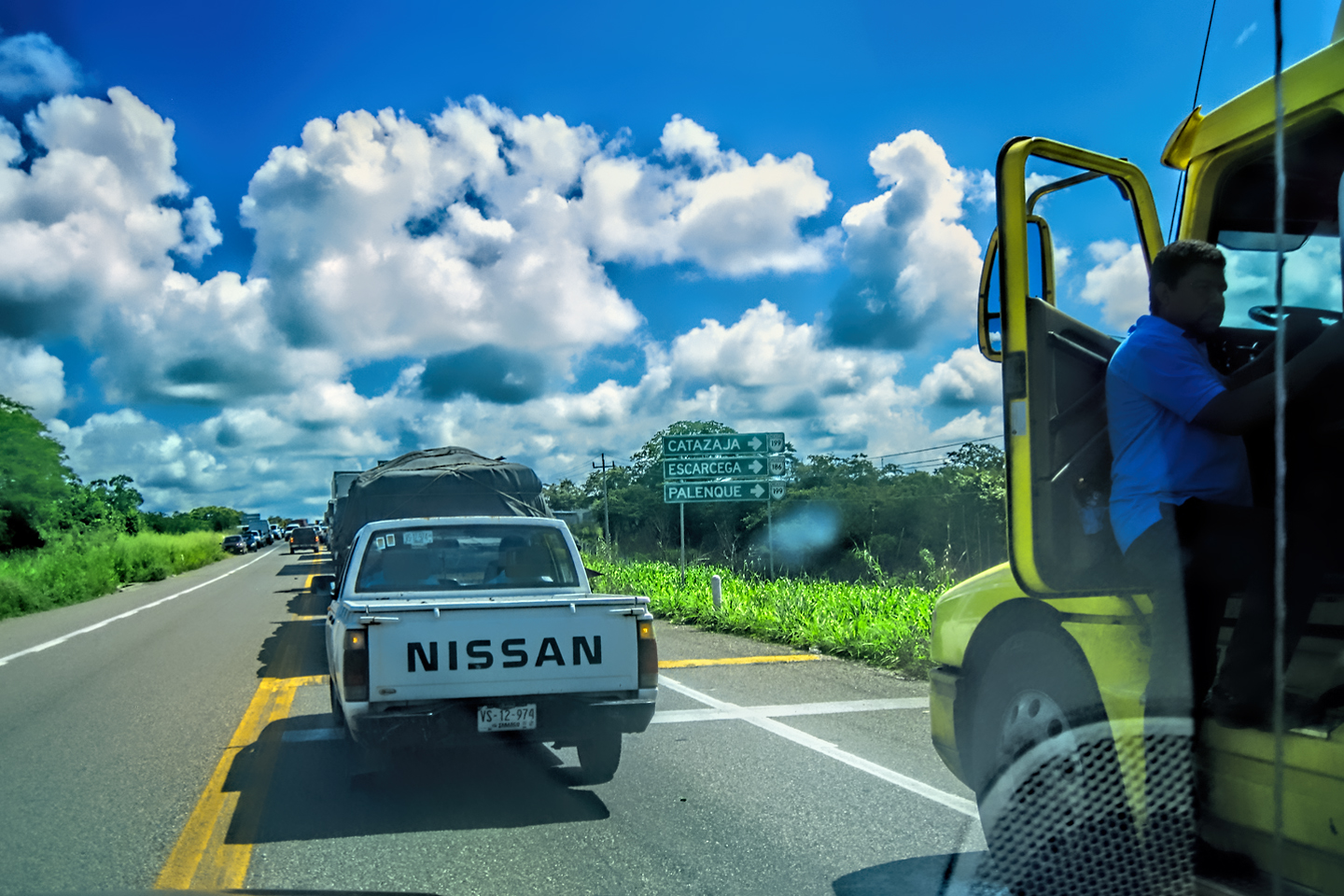
The next segment of the trip was the tricky part. The main route from Puebla to Queretaro was the toll road, MX 40D, but that was a bad choice for us, because it crossed and re-crossed the border into the State of Mexico, where we would be at risk of violating the Hoy no Circula regulations. Mike was the navigator, which put him in charge of telling me where and when to turn, in order to avoid all of that. We’d studied our road map, (the Guia Roji) back in Oaxaca, and I’d drilled Mike on the safe sequence of roads. The first critical turn would be at the Toll Plaza Capulalpan, where we would exit the Autopista onto a smaller highway, MX 88, toward Pachuca.
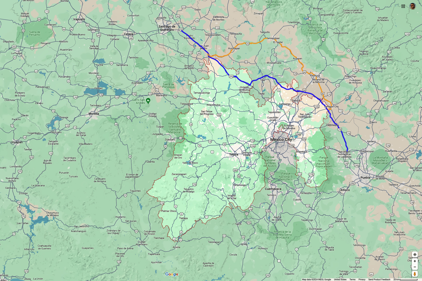
The blue line is the autopista from Puebla to Queretaro, crossing in and out of the State of Mexico (the area delineated by the dotted red line). The orange line is a detour that avoids the State of Mexico.
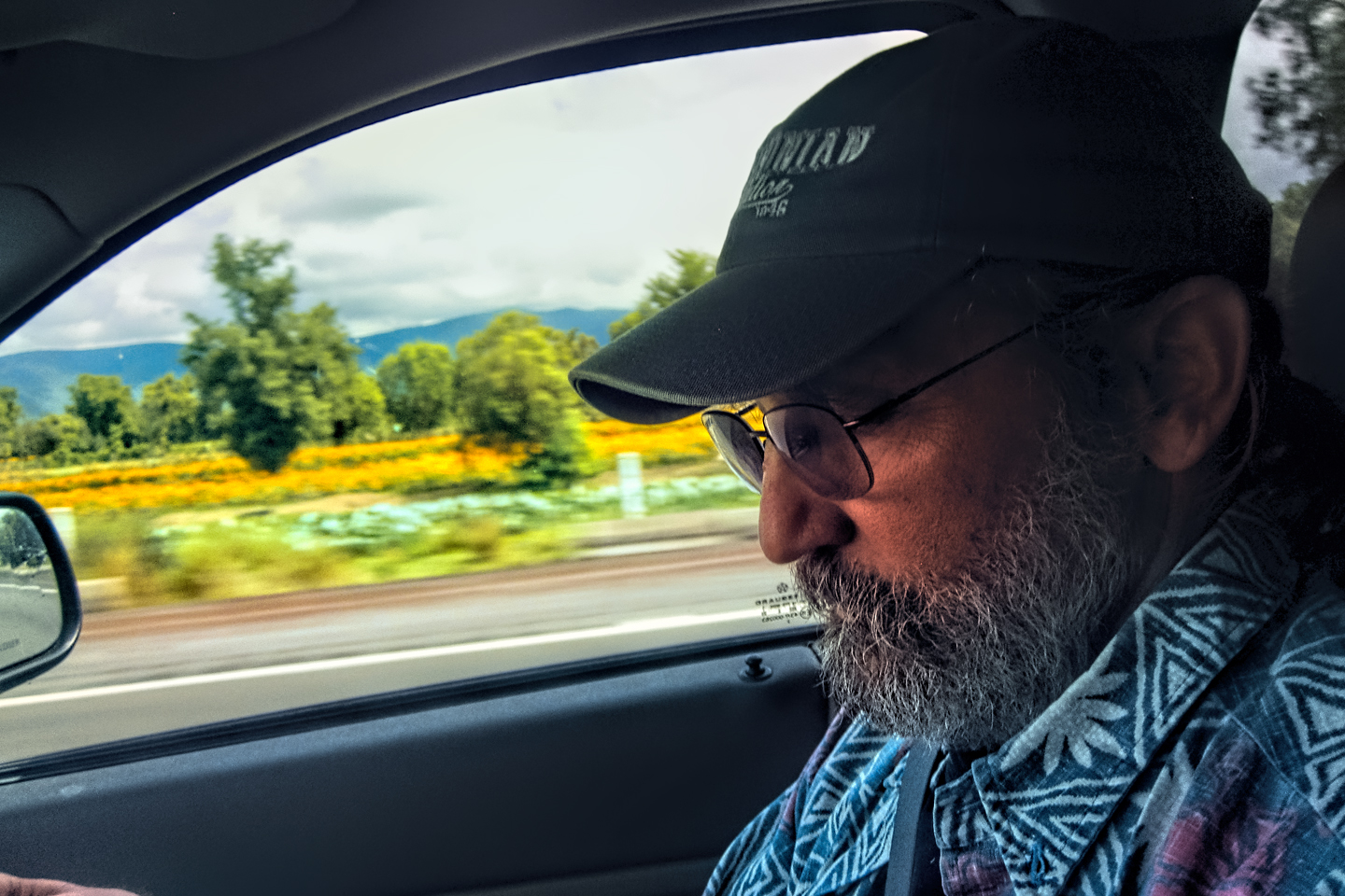
We were sailing along, listening to some tunes on the Jeep’s good stereo, and reminiscing over old times, the way old guys like us love to do. “You know where we’re supposed to turn, right?” I asked him.
“Oh, hell yes,” he replied. “Caca-poop-in-a-pan. How could I forget a thing like that? Besides, we can’t miss it; it’s a toll plaza, so we’ll have to stop.”
“Right,” I said, not quite as confident as Mike seemed to be. I saw a sign that said Ixhuatepec, which sounded familiar. “Keep a sharp eye out,” I said to Mike.
“Of course,” he replied, pointing off to the right. “There’s the toll plaza right there. Wait. We’re not stopping. I thought we were supposed to stop?”
“We were supposed to take that exit we just passed,” I said, one eye on my rear view mirror as I watched the toll booths disappear behind us. “The exit must have led to the toll plaza. Crap. Now we either find one of those Retornos to make a U-turn, or we keep going to the next exit. Route 9 will take us to MX 88. It’s only about 15 miles up the road, but it’s on the wrong side of the State border.”
We crossed into the State of Mexico long before we reached the exit for Route 9, but there were no police cars waiting to pounce, and no net dropped over our heads. We never did see any Retornos (U-turn exits), but we arrived at the turn-off without incident. Just our luck: the exit was under construction, and closed with barricades.
“Double crap,” I said, (or words to that effect). “Please check the map. If I remember correctly, there’s going to be a junction with MX 85, to Pachuca, maybe 20 miles up the road. Do not, do not, DO NOT miss that turn, Michael! It’s super important!”
“Calm down, Rickey. We got this. Everything gonna be cool jazz.”
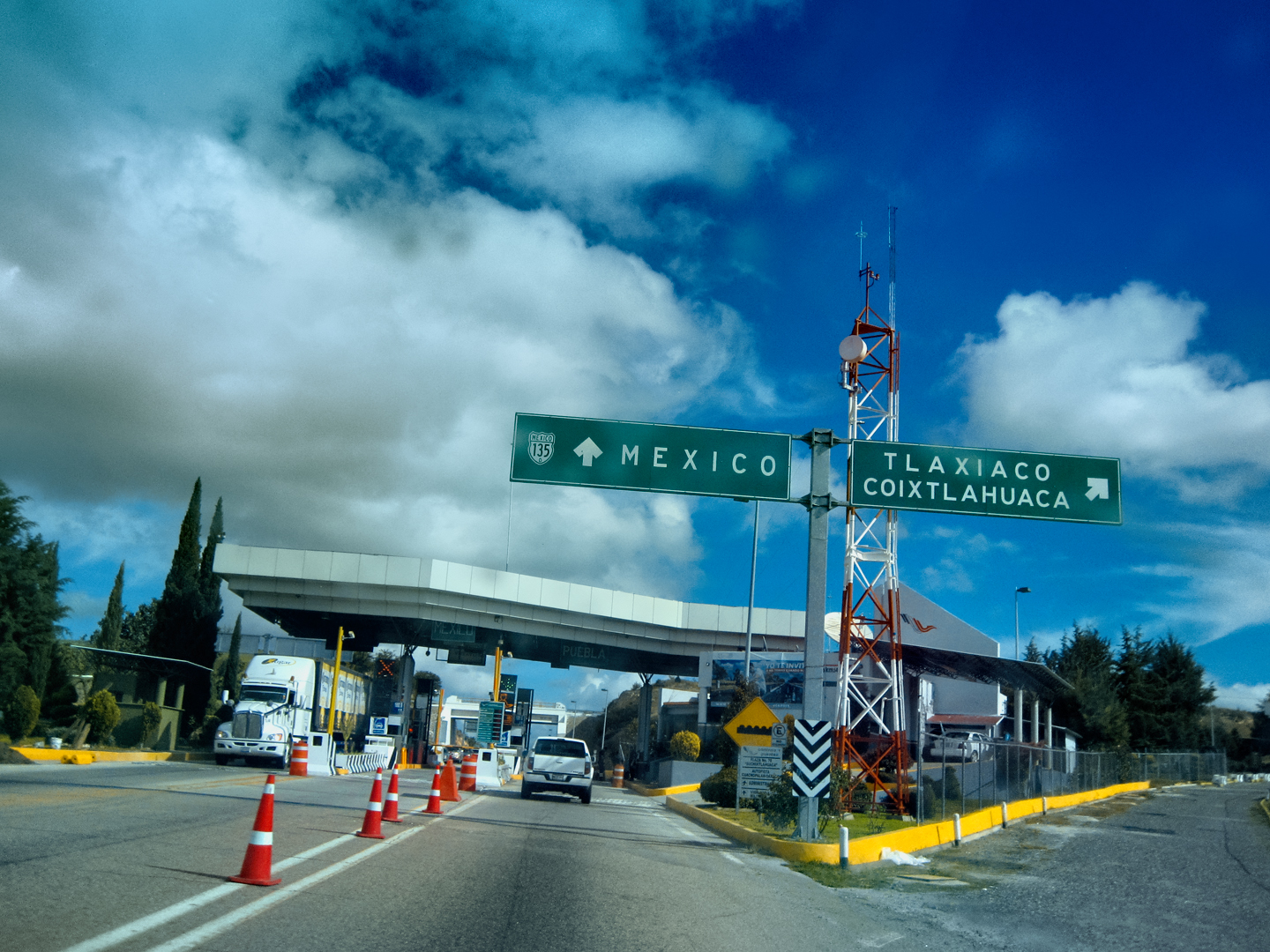
About 15 minutes later, I was busy driving, moving through a tightly packed herd of eighteen wheelers, and Mike was busy with his GoPro camera, shooting random video through the windshield. We came up on one of those big overhead highway signs: Queretaro and Morelia were straight ahead, while Mexico, Pachuca, and Aifa veered off to the right. By the time I realized the significance of what I’d just seen, we were past it. “Wasn’t that our turn?” I asked.
“It said Mexico,” Mike replied, looking at me through the video camera. “Aren’t we staying away from Mexico, State, City, whatever?”
“It also said Pachuca, and MX 85,” I said with a groan. “That was it, you nimrod. Now we HAVE to turn around!” We proceeded along MX 40D for ten miles, then twenty miles, but there were no Retornos, and every exit that might have allowed us to reverse direction was blocked by construction.
“You know what I’m thinking?” I said to Mike. “We’re already past the halfway point. I’m thinking that as long as we stay on the toll road, and don’t make any stops, we might just make it all the way to Queretaro without any trouble. I haven’t even SEEN any cops on this road; not so far, anyway. Maybe I should stop worrying about which of these Estados we’re in, and focus on getting where we’re going as quickly as possible.”
“Amen to that,” said Mike, still shooting scenery with his GoPro. “You’re acting so nervous, it’s making ME nervous!”
I remembered this part of the road from my map, an area where the Mexico State border looked like it had been drawn by an inebriated grasshopper dipped in ink. I hadn’t exactly memorized the lay of the land; we weren’t even supposed to BE here! We should have turned off to the north fifty miles back, but there was no changing things now. We simply couldn’t worry about the location of that State border. It would have been impossible to keep track of it.
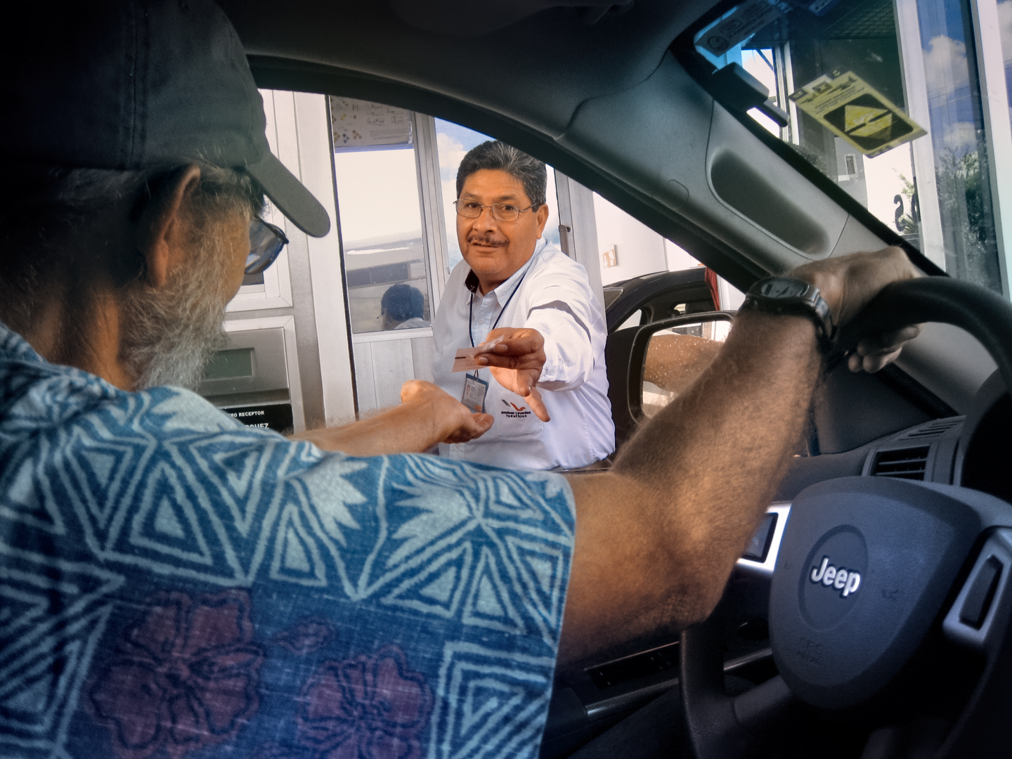
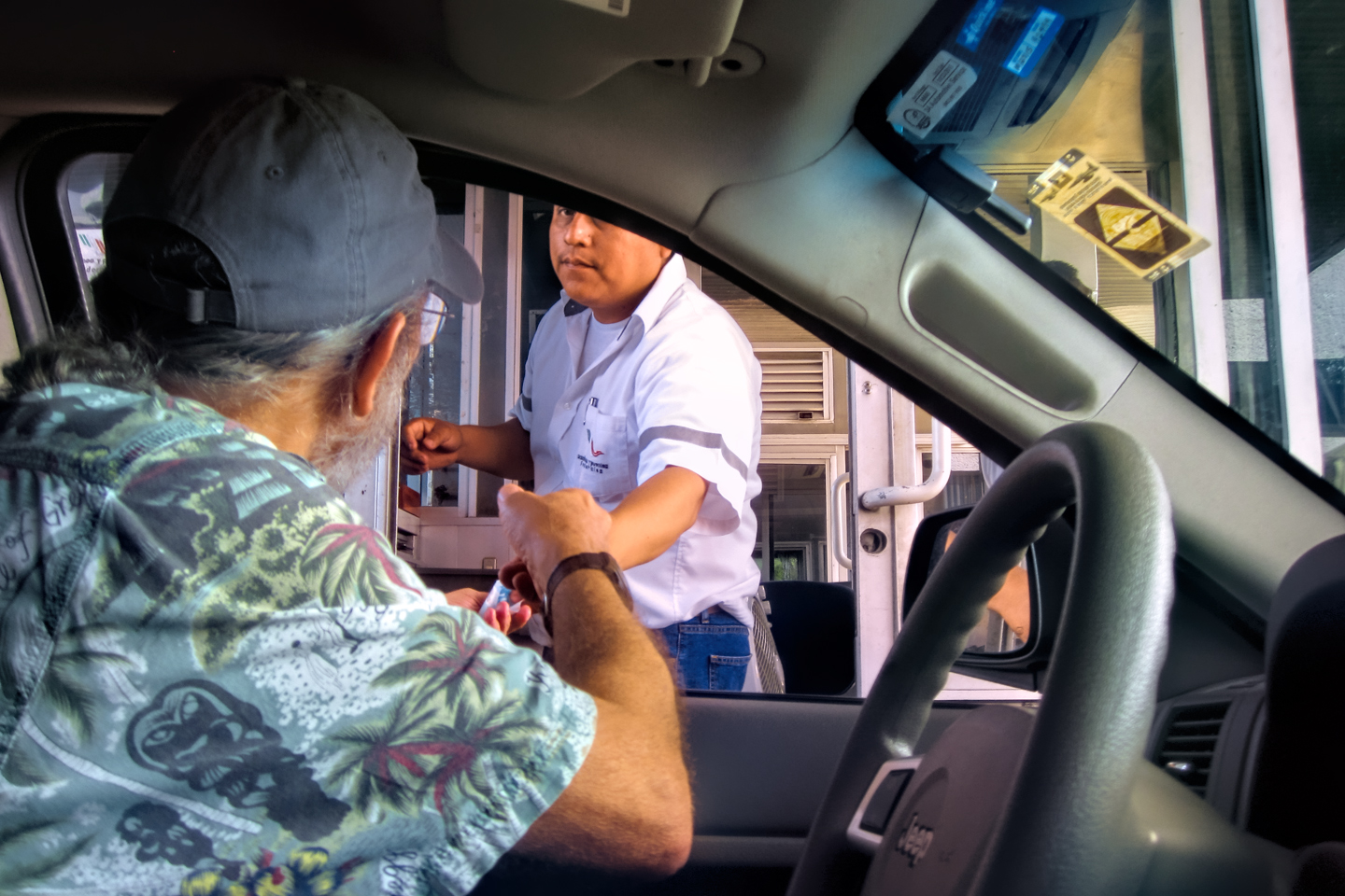
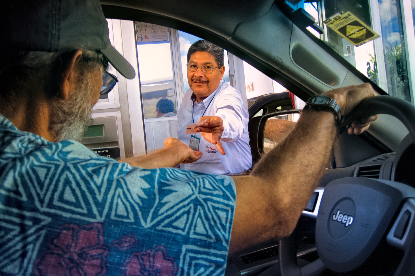
We merged on to MX 57D from MX 40D, and hadn’t gone far before we arrived at a Toll plaza where all traffic had to stop. A squad of Federales was inspecting vehicles as they exited the toll lanes, questioning drivers and using mirrors on poles to search beneath cars, trucks, and buses, apparently looking for explosives. We’d seen a bit of that sort of thing in the border region, when we first entered the country, but otherwise, this was something new, and it had me worried. When our turn came, they waved us on without any inspection. Thankfully, there was no mention of “Hoy no Circula.”
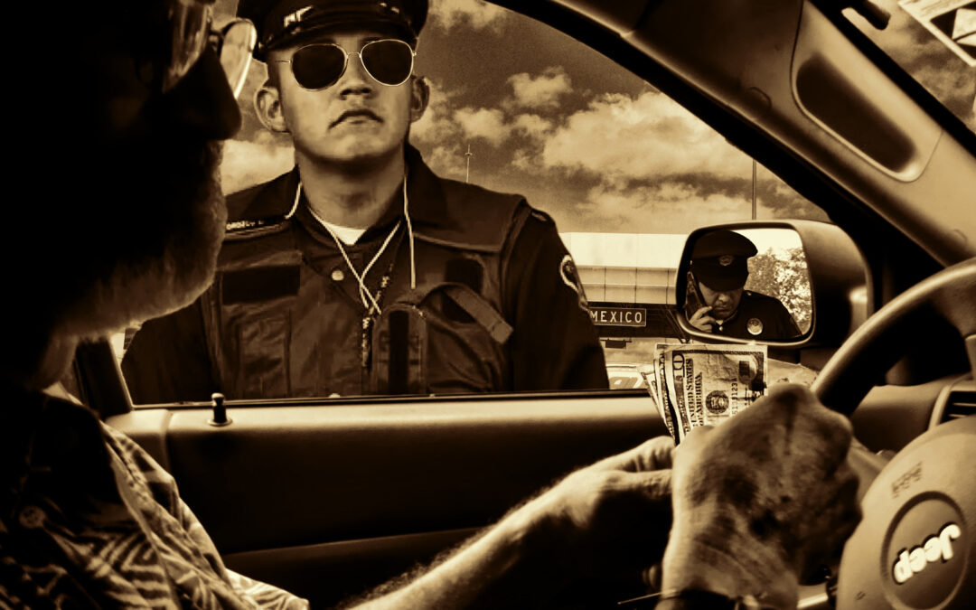
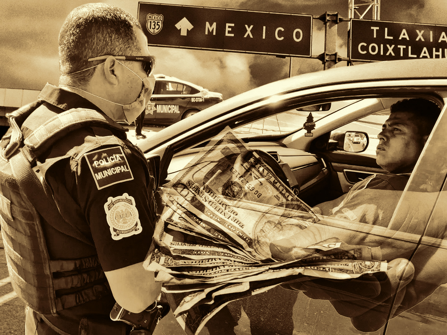
As we drove away from the toll plaza, a State Police car that had been parked off to one side made a fast U-Turn and started following me. A moment later, he turned on his flashers and gave me a short blast on his siren, motioning for me to pull over. I did that, and watched as two uniformed policemen got out. The pair approached me on the driver’s side, and one of them hung back, apparently checking out my license plate before making a phone call.
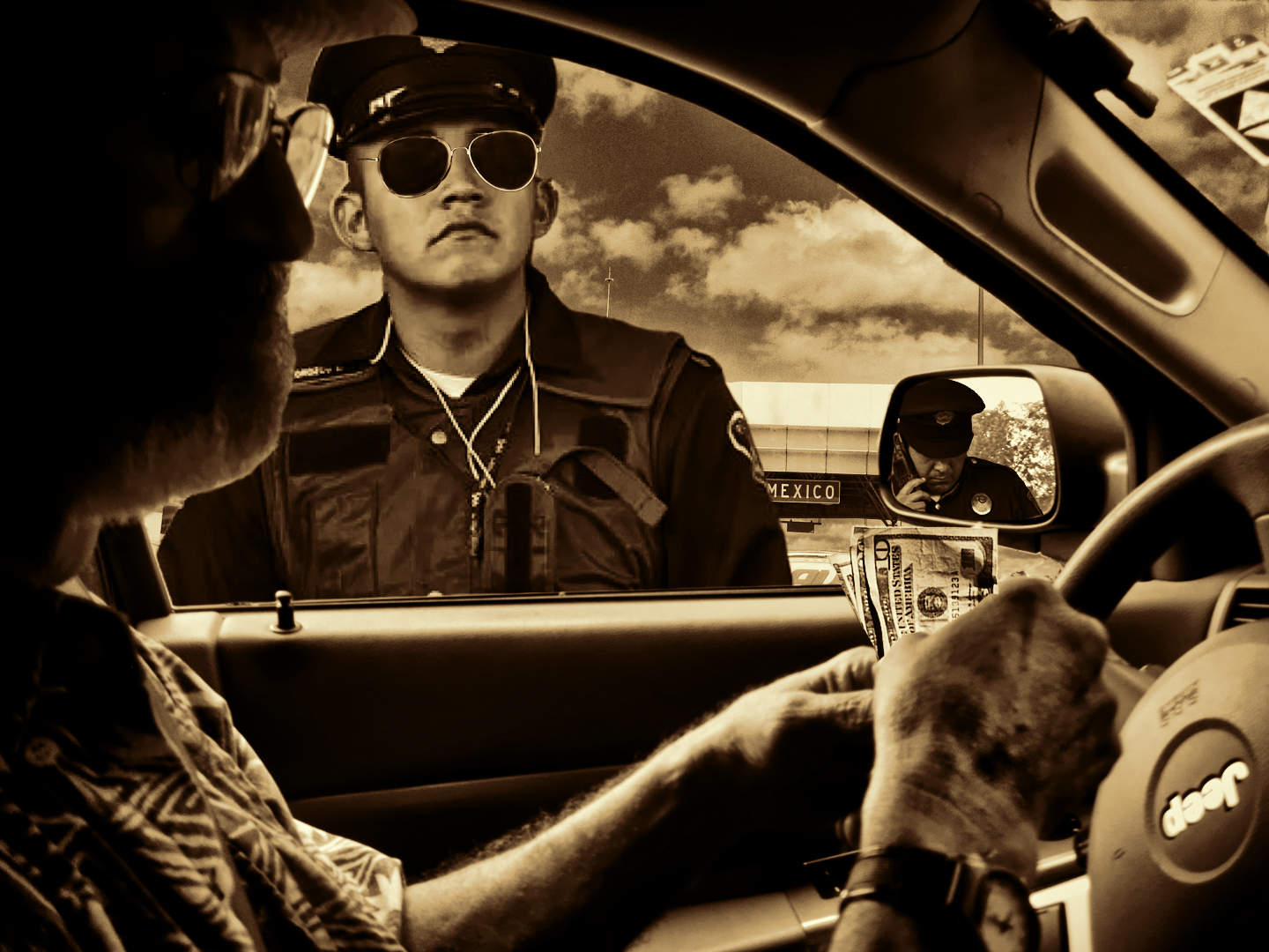
Documentos,” said the officer by my window. “Licensia, los permisos, seguros, todo eso.”
I wasn’t sure if I was being stopped for some infraction, or if these guys were just fishing. I figured it might be related to Hoy no Circula, but I wasn’t going to be the one to bring it up. My Spanish is decent. I understood what they wanted, but I pretended ignorance, and responded strictly in English. “I don’t understand,” I said. “No entiendo. You want papers? Papeles? Have I done something wrong?”
I handed over a sheaf of papers, as requested. The officer took a moment to glance through them, then he looked at me with a quizzical expresson. “No tiene Pase Turistico?”
He was referring to the Hoy No Circula exemption for tourists, which we did NOT have. “I don’t understand you,” I said, sticking with the ignorant gringo approach. “No entiendo.“
The other officer, obviously the senior of the two, walked up beside his partner. “No es-peaking Spanish?” he said, more a statement than a question.
“No,” I replied, shrugging my shoulders. “How about you? You speaking English?”
The two of them went on to explain, in broken Spanglish, the Hoy No Circula program. They told me that I was not allowed to be on the road in the State of Mexico, and that they had no choice but to have my vehicle towed to their impound lot. There would be a large fine, plus towing and storage fees.
There was no way I could let that happen–the fine was one thing, but losing a whole day? That would totally mess up our plans for the Dia de Los Muertos celebration. At that point, it was time for me to remember my Spanish. “Si pago la multa aquí mismo, ahora mismo, en efectivo, ¿hay alguna posibilidad de que nos dejen ir con una advertencia? Salimos del Estado de México, vamos a Querétaro.” (If I pay the fine right here, right now, in cash, is there any chance you could let us go with a warning? We’re leaving the State of Mexico, driving to Queretaro.)
The two policemen looked at each other and grinned. “Cinco mil Pesos,” said the younger one.
Five thousand Pesos was more than three hundred dollars at the exchange rate in effect back in 2015; that seemed high to me. “I’ve only got 2,000 Pesos in cash,” I said. “Dos mil. I would have to go to a banco to get more.”
They didn’t much like that idea; they obviously wanted to keep this simple, so they conferred with each other, then turned back to me. “Two thousand, no suficiente,” said the older cop. “How about your amigo? No tiene dinero?”
Mike had been sitting quietly the whole time, not saying a word. “Do you have any cash?” I asked him in a half-whisper. “Fifty bucks or so?” He pulled out his wallet and opened it up, showing maybe 200 Pesos in small bills. “That’s it? That’s all you got?” Michael was carrying most of his money seperate from his wallet, stashed in his socks. That was smart, but what he did next was just plain dumb: he pulled out his whole bank roll, ALL of his money, in plain view of the two cops.
“Parece que hay suficiente,” said the young one, pointing to the money in Mike’s hand. I tried negotiating, but there was no more hiding the fact that we had the cash.
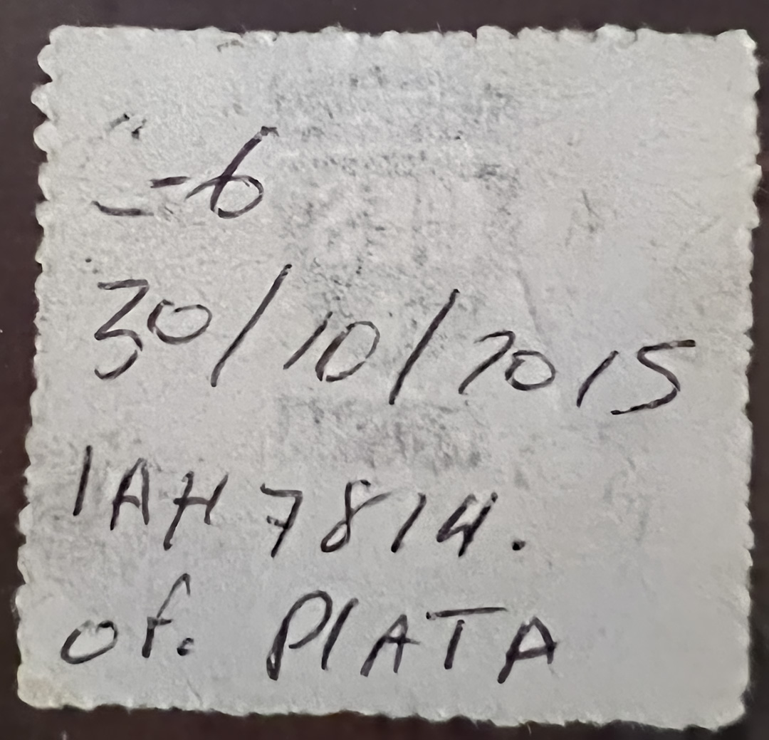
In the end, I counted out the five thousand Pesos, and handed it over. From that point on the two officers were our best buddies, explaining that I was still in violation, so we should proceed directly to Queretaro without stopping. They actually gave me a hand-written receipt, so that I’d have something to show if anyone else tried to pull me over. There’s no mention of the $300 “fine” I had just paid; it simply lists the date, my license plate number, and his name: “Officer Plata.” That last was clearly an attempt at humor: In Pablo Escobar’s famous catchphrase, “Plata o plomo,” Plomo (lead) refers to bullets–violent consequences–while Plata (silver) refers to the bribe money offered as an alternative.
CLICK MAPS AND PHOTOS TO EXPAND
LA MORDIDA!
“La Mordida,” the Bite. No Mexican adventure is truly complete until you’ve been bitten. Mexico has made enormous progress, rooting out corruption in the ranks of law enforcement, but the traditional practice is still sufficiently common that if you do enough driving in Mexico, it’s only a matter of time before you see flashing lights in your rearview mirror. The experience can be terrifying for the uninitiated: armed policemen pull you over and accuse you of some infraction that you may or may not have committed. They threaten you with jail, or they threaten to impound your vehicle. And of course there is a significant fine, a “multa.” At some point, the officer will suggest that if the fine is paid in cash, right there on the spot, they might be able to let you off with a warning.
If you know that you’re guilty of speeding or some other obvious infraction, it may be best to simply pay the fine (assuming it’s within reason). If you’re fairly certain that you’ve done nothing wrong, don’t be intimidated. Insist on speaking nothing but English, even if your Spanish is flawless. Make a show of recording the officer’s badge number. Be respectful. Offer to pay the fine, but tell them you will only pay at the Police Station. A useful phrase to repeat: “No entiendo!” (I don’t understand!)
If you believe that you’ve been victimized, there is a simple anonymous reporting number for turning in corrupt police officers in Mexico. The number is 089, which is the Anonymous Complaint Hotline (Centro de Denuncia Anónima). This hotline allows citizens to report crimes, including police corruption, without revealing their identity.
The 089 system is designed to receive information from citizens about crimes that have been committed, channel reports to appropriate police authorities for investigation, and maintain the anonymity of the caller.
Mike messed up: he missed our turn, not once, but twice, and then, at a critical moment, he flashed his entire bank roll in front of two guys who were intent on taking it from him. I’d like to say I was blameless in the whole unseemly affair, but that wouldn’t be accurate. With all my experience driving in Latin America, and dealing with questionable law enforcement, I’m the one who should have handled things better!
If I had been properly prepared, and in possession of a Pase Turistico, this could have been avoided. In fact, if I’d simply done my research, I would have known that this day, a Friday, was NOT the “no-drive” day for my Jeep, nor was the time of day, mid-afternoon, a time when I was supposed to stay off the road. “Officer Plata” and his partner were scamming me from the start. If I had called their bluff, made them issue their citation, I could have fought it and I almost certainly would have won. Thing was, we didn’t have time for this nonsense. For me, it was worth three hundred bucks, just to be allowed to leave without further delay!
Driving away from that toll plaza, the mood was what you might call somber. I was angry with Michael, angry with myself, angry with the two Mexican cops that had just robbed us in broad daylight. Corruption of that sort is a fact of life in pretty much every third world country. Public servants, from passport clerks to high level bureaucrats, routinely supplement their income by dubious means; bribe money is the grease that oils the machinery of funky governments. I understood that, intellectually, but this incident affected me personally, and put me in a rotten mood. We were doing this trip on a budget, and three hundred bucks was a lot of money to lose.
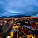
It took us until almost 4:00 to reach Queretaro. The weather was cloudy and cool, and the rush hour was starting. What that meant for us was horrible traffic, approaching total gridlock. Mexico has more than its share of bad drivers, and when you concentrate them, like this crowd of commuters in a big city like Queretaro, (1.3 million inhabitants, back in 2015) what you get is vehicular chaos. We hadn’t made any reservations, so we were stuck in a traffic jam with no idea where we were going. We had to get OFF the local expressway, and even that was a serious challenge!
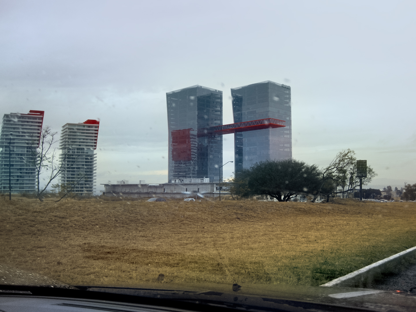
We’d stayed in Queretaro on our drive down from the U.S. Finding a room was not difficult, so I foolishly assumed it wouldn’t be a problem this time, either. I logged in to Expedia.Mx using Mike’s phone. First, I checked the Staybridge Suites, the business class chain hotel where we stayed before. No dice. They were totally booked. I used Expedia to cast a wider net, and ALL of the mid-range hotels were booked through the weekend. The only room I found was a suite at the Marriott that cost $200 per night, which was totally out of the question. The scarcity of accommodations had to be because of the upcoming holiday. I hadn’t expected Queretaro to be impacted by Dia de los Muertos. Were all these people staying here because they couldn’t get rooms in San Miguel de Allende? That was a scary thought!
Rainy afternoon in Queretaro
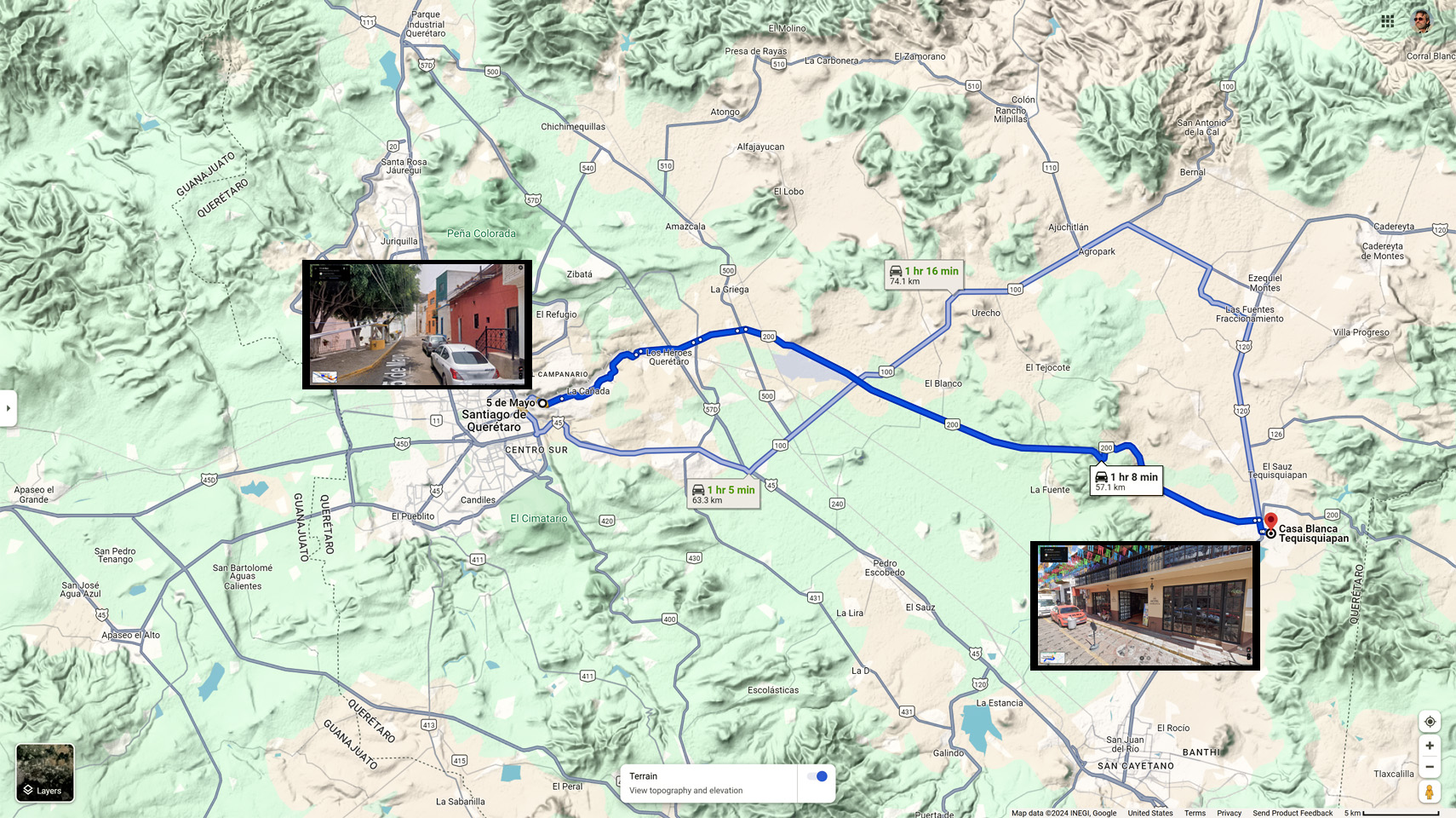
We headed for the outskirts of the city to escape the crush of traffic; there wasn’t a single hotel in sight, so I pulled over to the side of the road and did another search on Expedia, widening the search area, and this time, I found something! A hotel called the Casa Blanca, located at #6 Cinco de Mayo, Tequisquiapan, Queretaro. They had rooms for 700 Pesos (a little over $40 U.S.), so I booked it. When I punched the address into my GPS, the silly thing tried to send me to a town called Tequisquiapan, 60 km away to the east. That couldn’t be right, so I punched in “#6 Cinco de Mayo,” just that by itself, and we followed the prompts across town, into a neighborhood.

We found Cinco de Mayo, a purely residential side street, very narrow, and a bit shabby. #6 was the last door on the right of this dead end.
I Googled the Hotel Casablanca–something I should have done in the first place–and discovered that my GPS was right the first time. The hotel was at #6 Cinco de Mayo, that much was correct, but it was, in fact, in a TOWN called Tequisquiapan, not in a neighborhood in Queretaro, as I had assumed. After losing $300 to Officer Plata, I wasn’t inclined to throw away the non-refundable cost of a hotel room, even though it meant driving an hour out of our way.
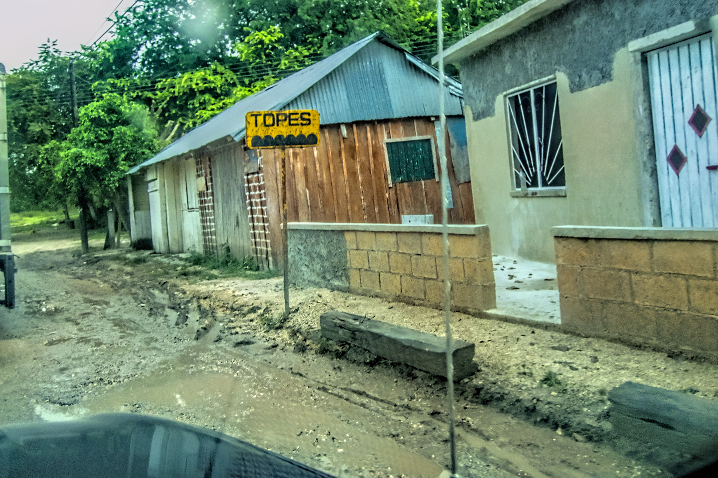
What I had not considered was the lateness of the hour. By the time we cleared the city limits it was already 6:30, and the sun was dropping fast. Long before we reached Tequisquiapan, it was full dark, and when I say dark, I mean black as pitch, moonless, and so dark it was hard to see the blacktop! Worse, there were dozens of Topes, speed bumps, all but invisible in the darkness, as well as livestock wandering in the road, and vehicles driving without headlights, leading to numerous heart-in-mouth moments as we drove along. We finally reached the Hotel Casablanca after an hour or so. The experience underscoreed the many reasons why they advise against driving at night in Mexico!
The route from #6 Cinco de Mayo to #6 Cinco de Mayo!
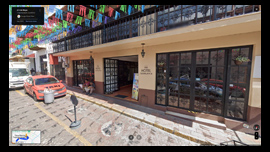
The hotel was charming, and so was the town, but we arrived too late in the day to see much of anything.
We had an interesting chat with the hotel owner. We seemed to be his only guests that night, which was strange, considering how busy they were in Queretaro. He explained that Tequisquiapan was a market town, that almost all of his business happened on weekends when markets were being held–and this weekend, there was no market. Everybody was off celebrating the Dia de Los Muertos, so his usual customers, mostly Chilangos, tourists from Mexico City, made other plans.
He quizzed me about Expedia, which I used to book the room. He explained that hotels like his are forced to participate, because if they’re not listed by the service, they’ll lose business. Expedia then forces them to discount the room prices, and then they take a fee off the top. What he’s left with barely covers his expenses. I explained that Expedia helped me find wonderful hotels that I would not have seen otherwise, and allowed me to compare prices before booking, all of which I found very useful. I hadn’t been aware of the fact that the hotels are getting a raw deal. I don’t know if that problem was specific to Mexico, or if it has since been resolved, with a more equitable fee structure. My personal experience with Expedia.mx was ten years ago, and it was entirely positive.
We had dinner somewhere near the hotel, and then crashed. It had been a rotten day. First the shakedown by officer Plata, then the boneheaded mixup on the address of the hotel. Tomorrow was bound to be better: San Miguel de Allende was just over an hour away, and we had reservations at a hotel there for the next three nights. We were going to just relax and enjoy the festival; three days in a row in the same spot? That was going to be NICE!
Next up: Mexican Road Trip: Three Days of the Dead in San Miguel de Allende (This post is a work in progress: anticipated publication in May, 2025)

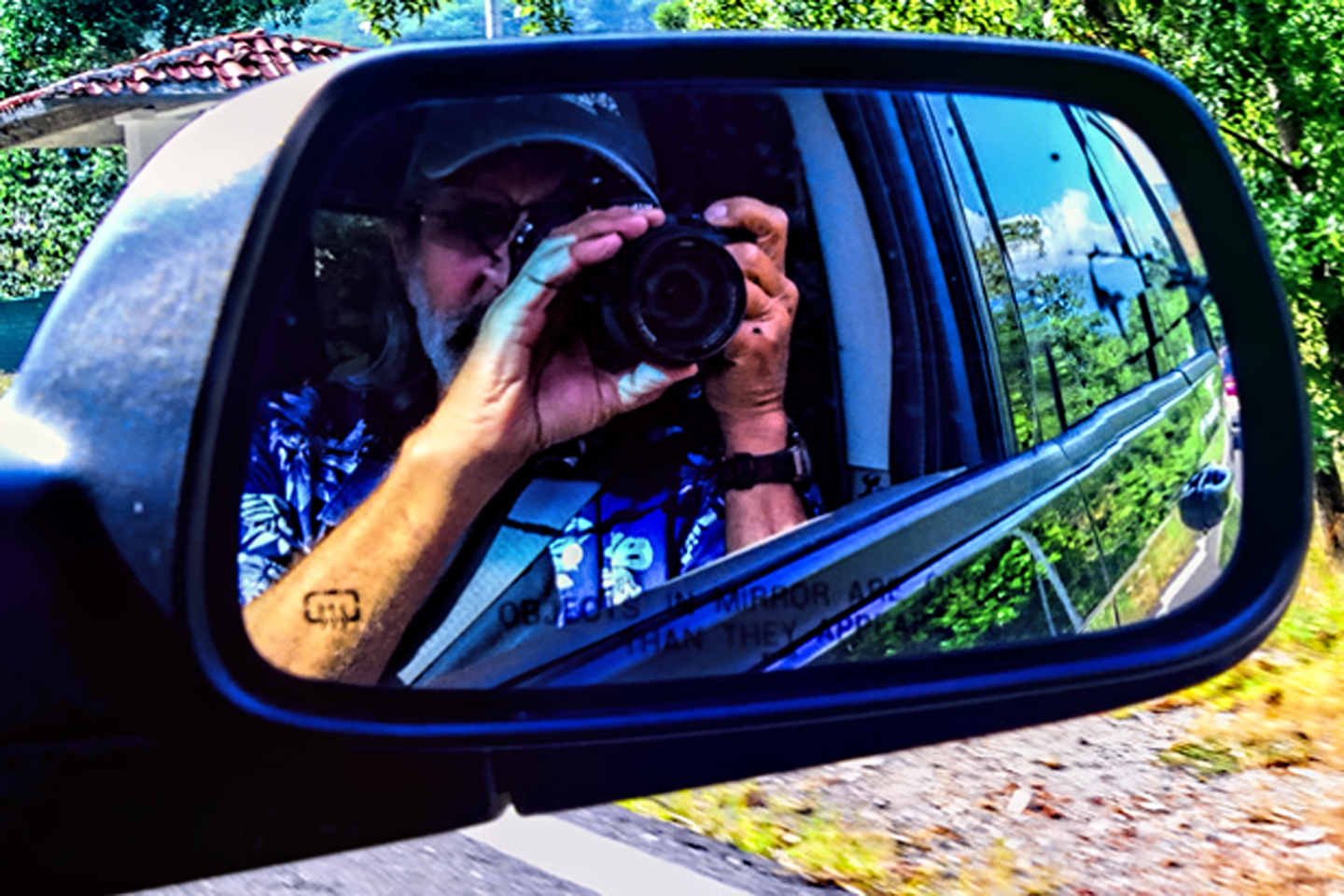
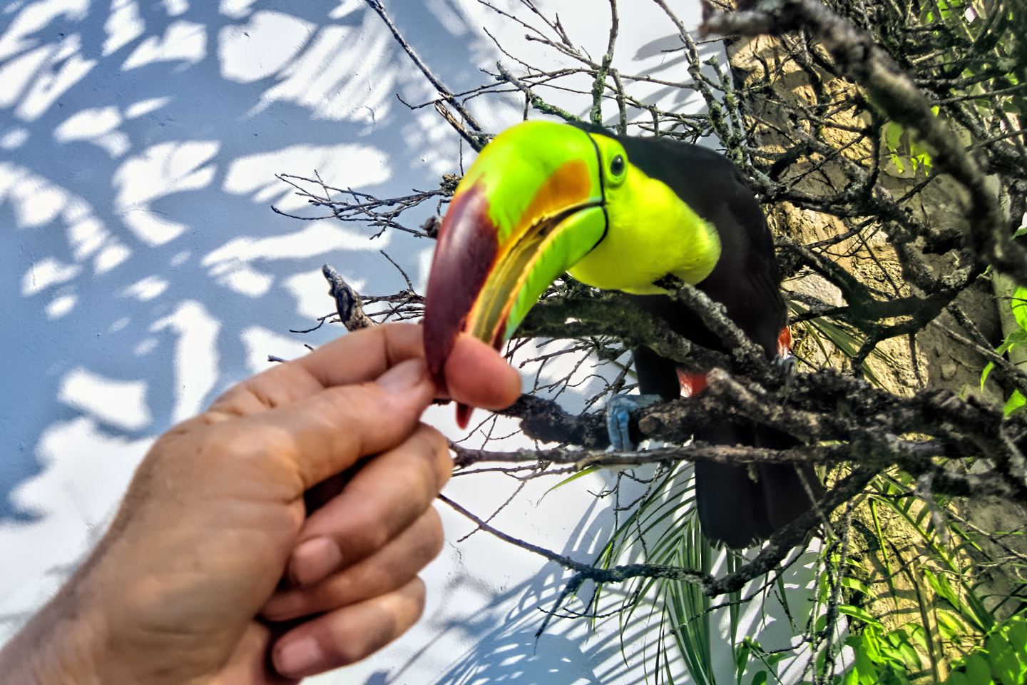
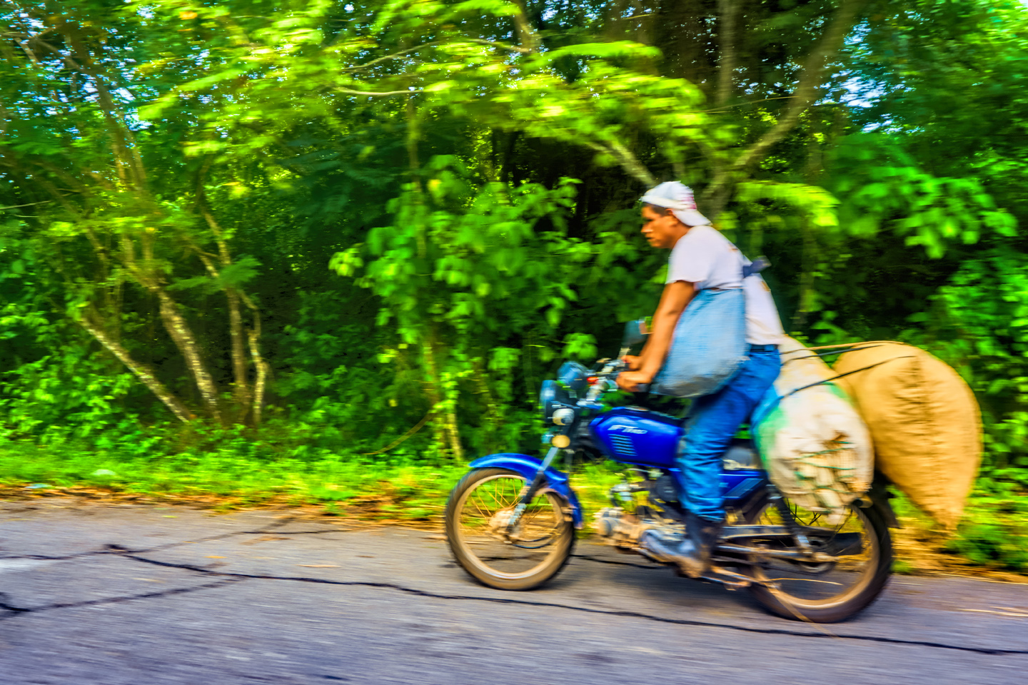
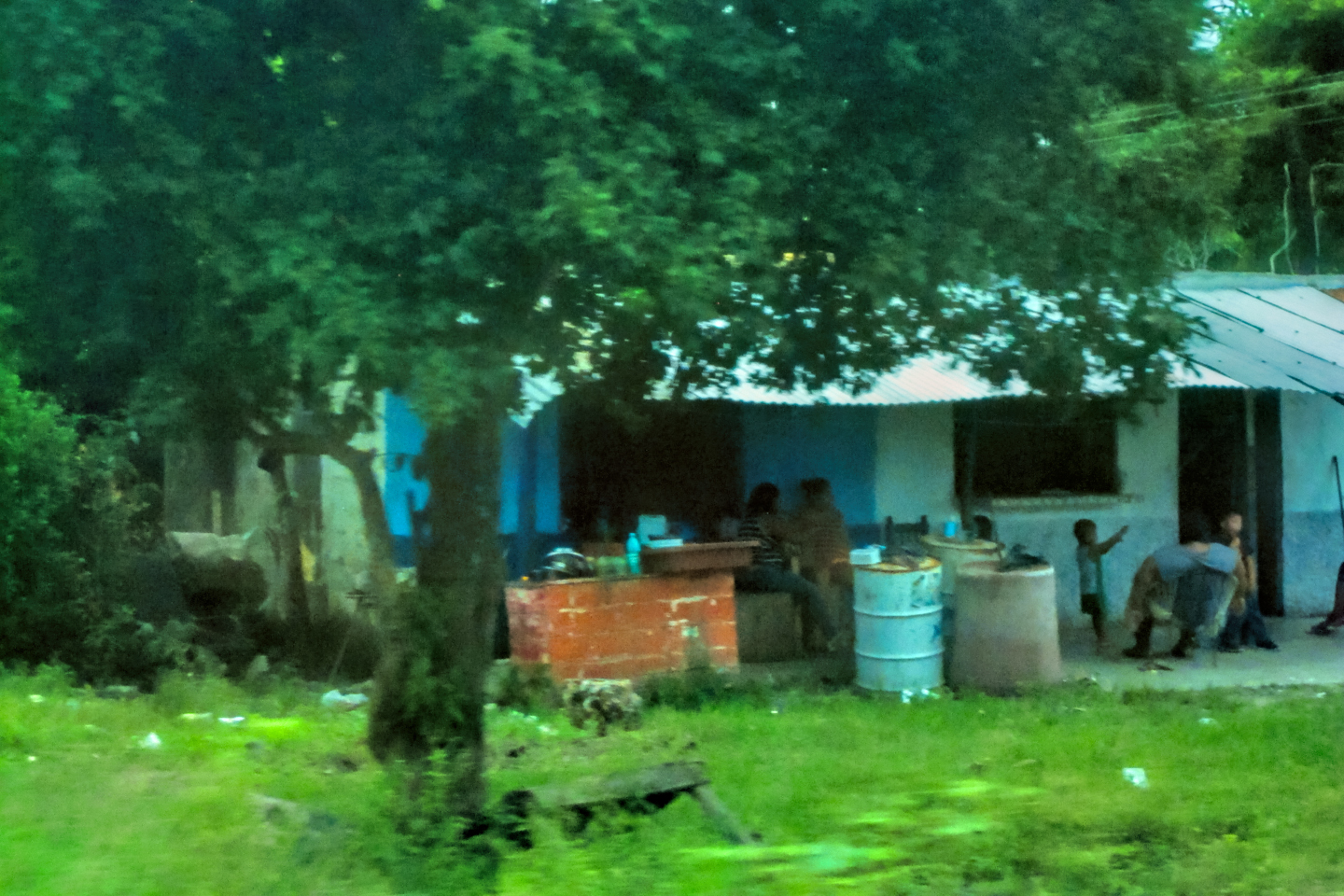
The photo collage below features a random assortment of photos taken on the road in Mexico by my inestimable shotgun rider, Michael Fritz. Click any image to expand them to full screen:
Unless otherwise noted, all other images are mine (or Michael’s) original work, and are protected by copyright. They may not be duplicated for commercial purposes.
Click any photo to expand the image to full screen
Michael Fritz, “Elmo,” 1949-2025
READ MORE LIKE THIS:
This is an interactive Table of Contents. Click the thumbnails to open the pages.
ON THE ROAD IN MEXICO

MEXICAN ROAD TRIP: HOW TO PLAN AND PREPARE FOR A DRIVE TO THE YUCATAN
The published threat levels are a “full-stop” deal breaker for the average tourist. That’s unfortunate, because Mexican road trips are fantastic! Yes, there are risks, but all you have to do to reduce those risks to to an acceptable level is follow a few simple guidelines.
<<CLICK to Read More!>>

Mexican Road Trip: Heading South, From Laredo to Villahermosa
When it was our turn, soldiers in SWAT gear surrounded my Jeep, and an officer with a machine gun gestured for me to roll down my window. He asked me where we were going. I’d learned my lesson in customs, and knew better than to mention the Yucatan. “We’re going to Monterrey,” I said, without elaborating.
He checked our ID’s and our travel documents, then handed them back. “Don’t stop along the way,” he advised. “You need to get off this road and to a safe place as quickly as you can!”
<<CLICK to Read More!>>

Mexican Road Trip: Zapatista Road Blocks in Chiapas
“Good morning,” I said. “We’re driving to Palenque. Will you allow us to pass?”
The leader of the group, a young Mayan lad, walked up beside my Jeep, and fixed me with a menacing glare. “The road is closed,” he said, keeping his hand on the hilt of his machete. “By order of the Ejército Zapatista de Liberación Nacional!”
“Is it closed to everyone?” I asked innocently. “How about if we pay a toll? How much would the toll be?”
He gave me an even more menacing glare. “That will cost you everything you’ve got,” he said gruffly, brandishing his machete, while his companions did the same.
<<CLICK to Read More!>>

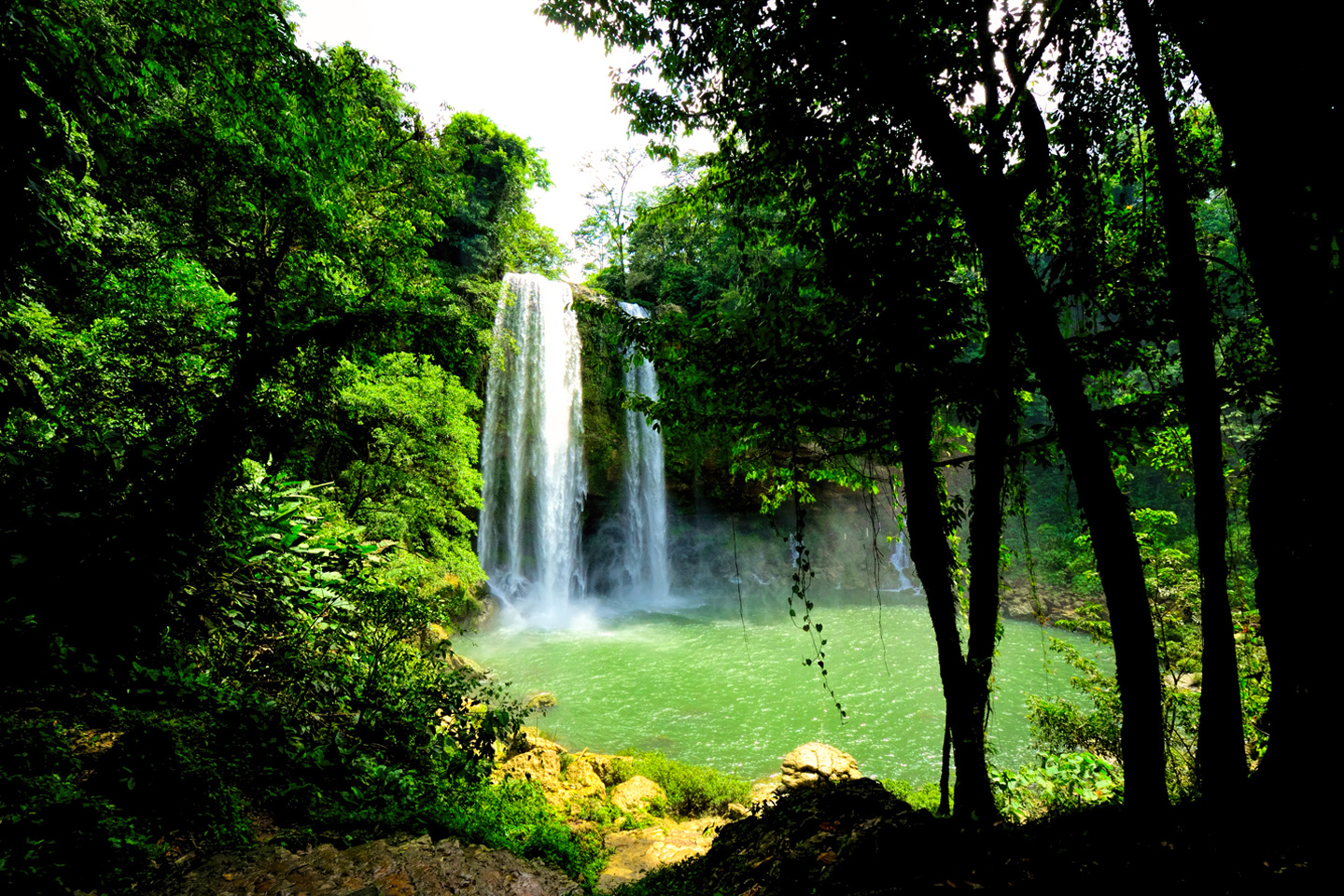
Mexican Road Trip: Mayan Ruins and Waterfalls in the Lacandon Jungle
The next morning, we were waiting at the entrance to the Archaeological Park a half hour before they opened for the day. We were the only ones there, so they let us through early, and I had the glorious privelege of photographing that wonderful ruin in the golden light of early morning, without a single fellow tourist cluttering my view.
<<CLICK to Read More!>>

Mexican Road Trip: Merida and the Meridanos
Merida is the largest city in southern Mexico, with a population of almost a million. Statistically, Yucatan is the safest of Mexico’s states, and Merida is widely considered the safest of all Mexico’s cities.
<<CLICK to Read More!>>


Mexican Road Trip: Cancún, Tulum, and the Riviera Maya
The millions of tourists who fly directly to Cancún from the U.S. or Canada are seeing the place out of context. They can’t possibly appreciate the fact that they’re 2,000 miles south of the border; a whole country, a whole culture, a whole history away from the U.S.A. Just looking around, on the surface? The second largest city in southern Mexico could easily pass for a beach town in Florida.
<<CLICK to Read More!>>

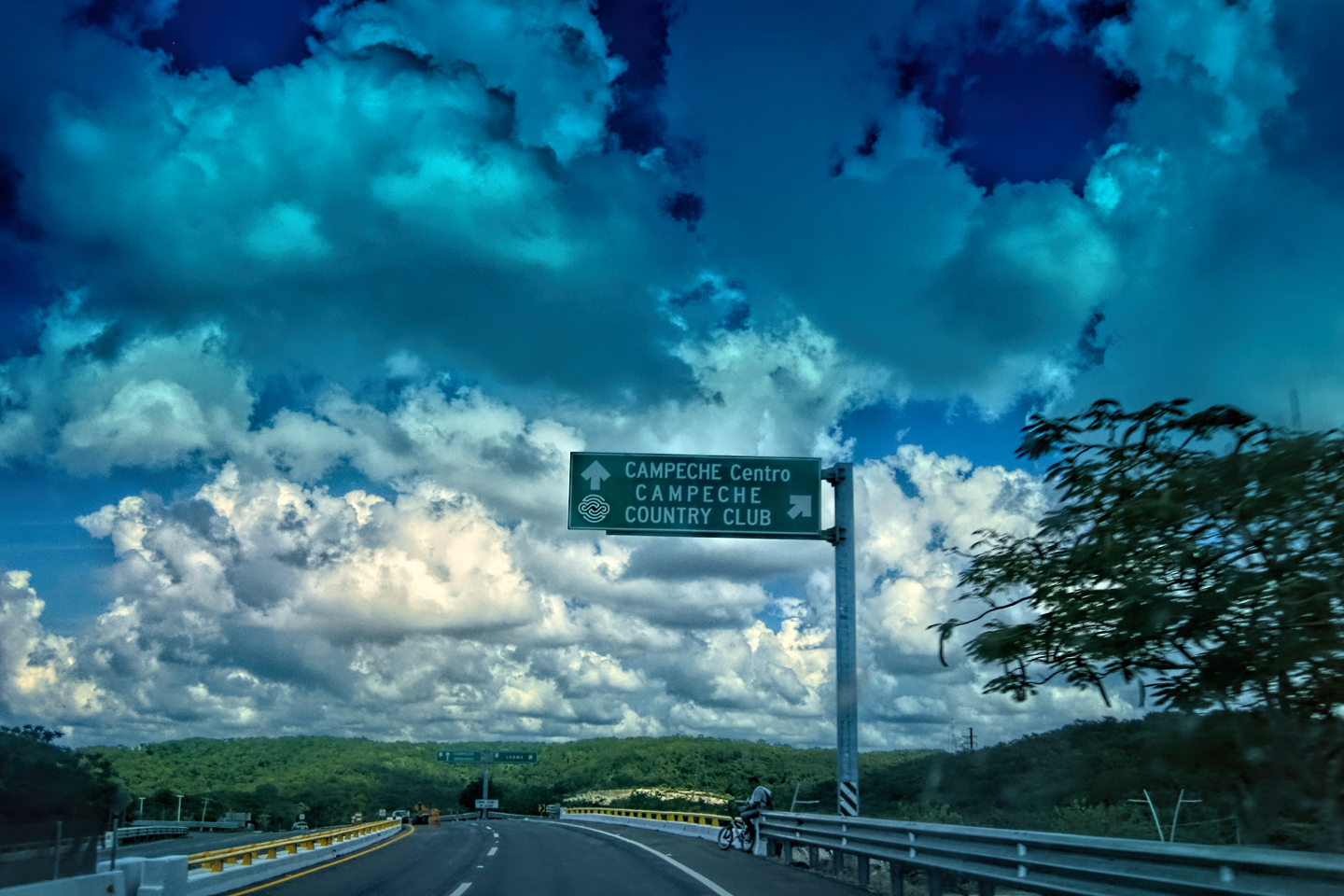
Mexican Road Trip: Circling the Yucatan, from Quintana Roo to Campeche
The Castillo at Muyil isn't huge, as Mayan pyramids go, topping out at just over 50 feet, but it’s definitely imposing. Try to imagine: the equivalent of a five story building, with a three story grand staircase, just appearing, out in the middle of nowhere? Boo-yah!
<<CLICK to Read More!>>

Mexican Road Trip: Edzná, and Campeche, Where They Dance La Guaranducha
La Guaranducha, a traditional dance from Campeche, is a celebration of life, community, and the joy of existence. On stage, there was a group of young men and women in traditional dress, but it was clear that the guys were little more than props, because all eyes were on the girls. So colorful, and so elegant, hiding coyly behind their pleated, folding hand fans.

Mexican Road Trip: Adventures Along the Puuc Route
All of these communities in the Puuc region were allied, politically, culturally, economically, and socially. The Puuc was the cradle of the Golden Age of the Maya. Labna and Sayil were among the brightest jewels in the crown of a realm that never quite coalesced into an empire.
<<CLICK to Read More!>>

Mexican Road Trip: The Road to Bonampak
Rainwater seeping through the limestone walls of the temple soaked the Bonampak Murals with a mineral-rich solution that, each time it dried, left behind a sheen of translucent calcite. The built-up coating protected the paintings for more than 1200 years. As a result, we're left with the finest examples of ancient art from the Americas to have survived into our modern era.

Mexican Road Trip: Crossing the Chiapas Highlands, to San Cristobal de las Casas
MX 199 crosses the Chiapas Highlands from Palenque to San Cristobal de las Casas. The distance is only 132 miles, but it's 132 miles of curvy mountain roads with switchbacks, steep grades, slow trucks, and villages chock-a-block with topes and bloqueos, unofficial road blocks. Everything I read, and everything I heard, described the drive as alternatively spectacular, dangerous, and fascinating, in seemingly equal measure.

Mexican Road Trip: Cruising the Sierra Madre, from San Cristobal to Oaxaca
Today, we’d be driving as far as the city of Oaxaca, 380 miles of curves, switchbacks, and rolling hills that would require at least ten hours of our full attention, crossing the Sierra Madre de Chiapas, and entering the rugged, agave-studded landscape of the Sierra Madre de Oaxaca. If you’d like to know what that was like, read on!

Mexican Road Trip: Flashing Lights in the Rear View: Officer Plata and La Mordida
As we drove away from the toll plaza, a State Police car that had been parked off to one side made a fast U-Turn and started following me. A moment later, he turned on his flashers and gave me a short blast on his siren, motioning for me to pull over. Two uniformed policemen got out, and approached me on the driver's side. One of them hung back, apparently checking out my license plate before making a phone call.
"Documentos," said the officer by my window. "Licensia, los permisos, seguros, todo eso."
I wasn't sure if I was being stopped for some infraction, or if these guys were just fishing...
Mexican Road Trip: Three Days of the Dead in San Miguel de Allende
This post is a work in progress. Anticipated publication in May, 2025.
Mexican Road Trip: Back to the Border: San Miguel de Allende to Eagle Pass
This post is a work in progress. Anticipated publication in May, 2025.


Southern Colonials: Merida, Campeche, and San Cristobal
Visiting the Spanish Colonial cities of Mexico is almost like traveling back in time. Narrow cobblestone streets wind between buildings, facades, and stately old mansions that date back three hundred years or more, along with beautiful plazas, parks, and soaring cathedrals, all of similar vintage.
<<CLICK to Read More!>>

San Miguel de Allende, Mexico's Colonial Gem
If you include the chilangos, (escapees from Mexico City), close to 20% of the population of San Miguel de Allende is from somewhere else, a figure that includes several thousand American retirees.
<<CLICK to Read More!>>

Day of the Dead in San Miguel de Allende
In San Miguel de Allende, they've adopted a variation on the American version of Halloween and made it a part of their Day of the Dead celebration. Costumed children circle the square seeking candy hand-outs from the crowd of onlookers. It's a wonderful, colorful parade that's all about the treats, with no tricks!
<<CLICK to Read More!>>
IN THE LAND OF THE MAYA

Palenque: Mayan City in the Hills of Chiapas
Palenque! Just hearing the name conjures images of crumbling limestone pyramids rising up out of the the jungle, of palaces and temples cloaked in mist, ornate stone carvings, colorful parrots and toucans flitting from tree to tree in the dense forest that constantly encroaches, threatening to swallow the place whole.
<<CLICK to Read More!>>

Uxmal: Architectural Perfection in the Land of the Maya
The Pyramid of the Magician is one of the most impressive monuments I've ever seen. There's a powerful energy in that spot--maybe something to do with all the blood that was spilled on the altars of human sacrifice at the top of those impossibly steep steps--but more than any building or other structure at any ancient ruin I've ever visited, more than any demonic ancient sculpture I've ever seen, that pyramid at Uxmal quite frankly scared the hell out of me!
<<CLICK to Read More!>>

The Mayan City of Edzná: First House of the Itzás
The Mayan Edzná is nothing less than epic, lyrical poetry, an extraordinary sonnet comprised of temples and palaces carved in stone that have stood, in regal grandeur, for more than a thousand years.
<<CLICK to Read More!>>

Photographer's Assignment: Chichén Itzá
To get the best photos, arrive at the park before it opens at 8 AM. There will only be a handful of other visitors, and you’ll have the place practically all to yourself for as much as two hours! Take your time composing your perfect shot.There won’t be a single selfie stick in sight.
<<CLICK to Read More!>>

Chichén Itzá: Requiem for the Feathered Serpent
The feathered serpent with the unquenchable thirst for blood may be gone now, or at least fallen out of favor, but as long as the ruins of this ancient city remain standing, he won’t be forgotten.
<<CLICK to Read More!>>

Tulum: The City that Greets the Dawn
Tulum is not all that large, as Mayan sites go, but its spectacular location, right on the east coast of the Yucatan Peninsula, makes it one of the best known, and definitely one of the most picturesque.
<<CLICK to Read More!>>

Cobá and Muyil: Mayan Cities in Quintana Roo
Cobá was a trading hub, positioned at the nexus of a network of raised stone and plaster causeways known as the sacbeob, the white roads, some of which extended for as much as 100 kilometers, connecting far-flung Mayan communities and helping to cement the influence of this powerful city.
<<CLICK to Read More!>>

Becan and Chicanná: Mayan Cities in the Rio Bec Style
Much about the Rio Bec architectural style was based on illusion: common elements include staircases that go nowhere and serve no function, false doorways into alcoves that end in blank walls, and buildings that appear to be temples, but are actually solid structures with no interior space.
<<CLICK to Read More!>>

The Puuc Hills: Apex of Mayan Architecture
The Puuc style was a whole new way of building. The craftsmanship was unsurpassed, and some of the monumental structures created in this period, most notably the Governor’s Palace at Uxmal, rank among the greatest architectural achievements of all time.
<<CLICK to Read More!>>

The Amazing Mayan Murals of Bonampak
Out of that handful of Mayan sites where mural paintings have survived, there is one in particular that stands head and shoulders above the rest. One very special place. Down by the Guatemalan border, in a remote corner of the Mexican State of Chiapas: a small Mayan ruin known as Bonampak.
<<CLICK to Read More!>>
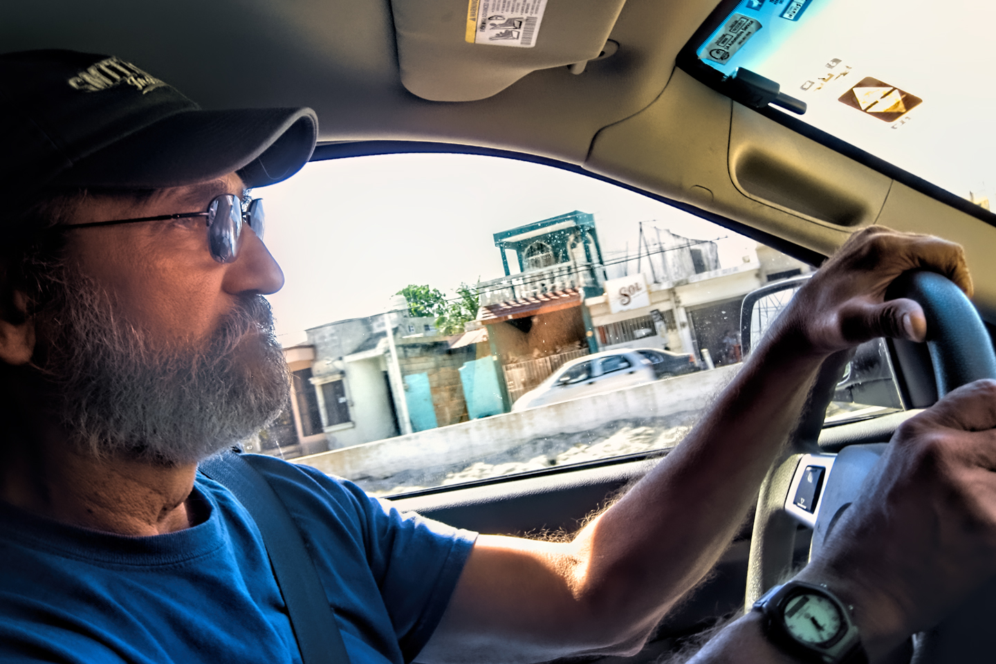
This series of posts is dedicated to my old friend Mike Fritz (aka Mr. Whiskers), my shotgun rider on my Mexican Road Trip. "Drive to the Yucatan and See Mayan Ruins" was at the top of my post-retirement bucket list, right after "Drive the Alaska Highway and see Denali." We checked off the whole Yucatan thing in a major way, and Mike was a heck of a good sport about it.
Michael passed away in February of 2025, after 75 years of a life well-lived. He was unique, and he'll be missed.

Michael Fritz ("Elmo") 1949-2025

There's nothing like a good road trip. Whether you're flying solo or with your family, on a motorcycle or in an RV, across your state or across the country, the important thing is that you're out there, away from your town, your work, your routine, meeting new people, seeing new sights, building the best kind of memories while living your life to the fullest.
Are you a veteran road tripper who loves grand vistas, or someone who's never done it, but would love to give it a try? Either way, you should consider making the Southwestern U.S. the scene of your own next adventure.
A few years ago I wrote a book about road trips in Arizona and New Mexico that's a lot like this website, packed with interesting information, and illustrated with beautiful photographs. Check it out! You can find it on Amazon, and at all other major booksellers.


Recent Comments