DAY 15: Escárcega to Edzná, First House of the Itzás
Escárcega is a small city of about 30,000, located at the junction of two Federal highways and a railroad. Very few tourists pass through the place, and those that do are mostly in a hurry, on their way to somewhere else. The only reason Mike and I stopped and stayed the night was timing: the sun was almost down when we got there, and driving any further after dark would have been foolishly dangerous.
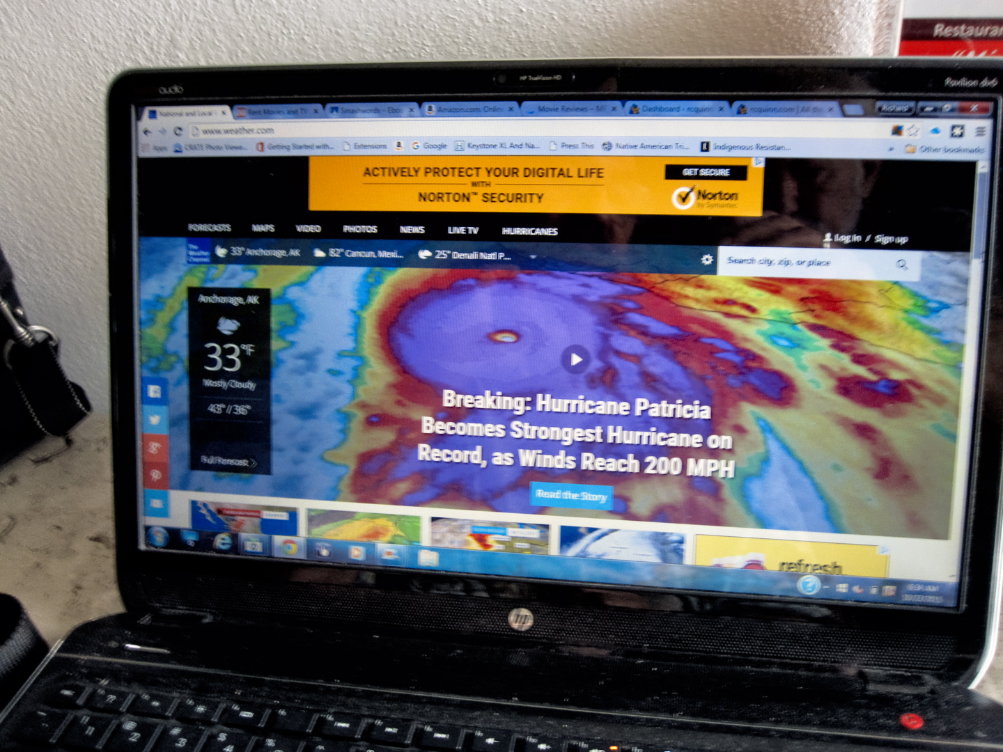
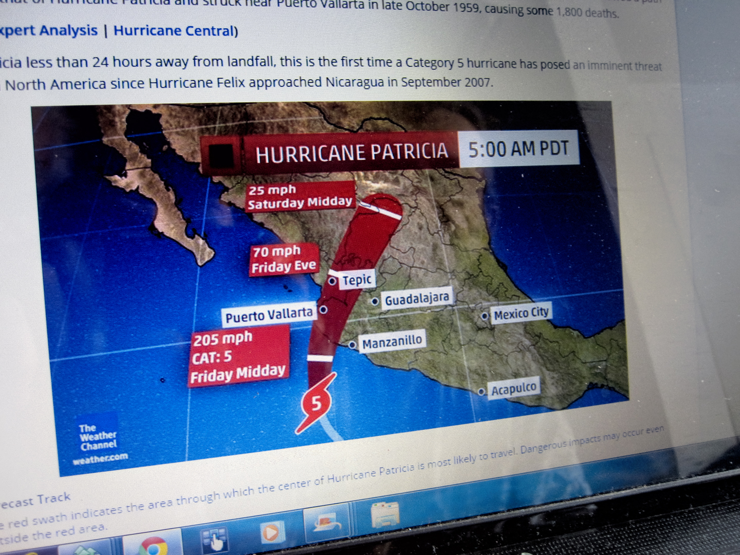
This was Day 15 of our road trip. We wanted to get going as early as possible, but took the time to check the weather reports before starting out. The strongest hurricane on record was screaming in from the Pacific with winds approaching 200 mph, affecting weather throughout the region; we’d had daily downpours for most of the past week, but the latest forecast showed the track of the storm veering to the north. Hopefully, that meant a reprieve from the rain, because we had a lot of miles to cover, and Mexican highways can be treacherous when wet.
Weather reports from October 23, 2015; the track of the hurricane veered north, so we were about to enjoy clear skies.
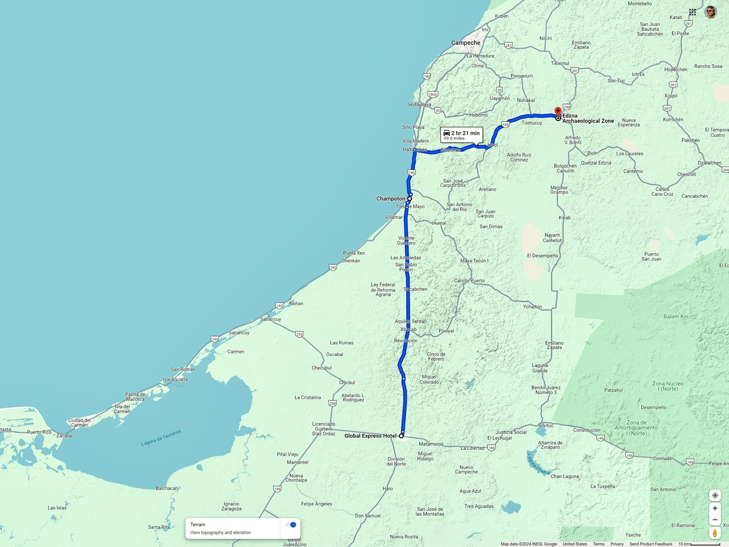
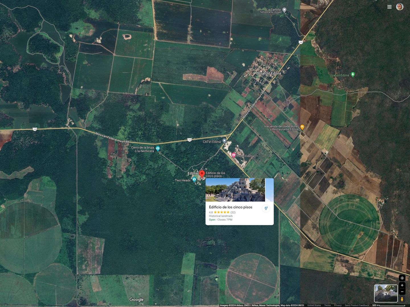
Route from Escárcega to the Mayan City of Edzná
The plan was to drive north from Escárcega, through Champoton, headed for Campeche, where we had a hotel reservation. Along the way, we’d be making a stop at a Mayan city called Edzná, one of several sites in the area that I hoped to visit in the next two days. We wanted to be in San Miguel de Allende for the Day of the Dead celebration at the end of October, and I still wanted to visit San Cristobal de Las Casas and Oaxaca. The distances weren’t vast, but many of the roads were very slow, so we had very little time to waste. Two days in Campeche, two or three more getting to San Cristobal, another two or three through Oaxaca to San Miguel, and along the way, another half dozen Mayan cities. Fun stuff, but a very tight schedule!
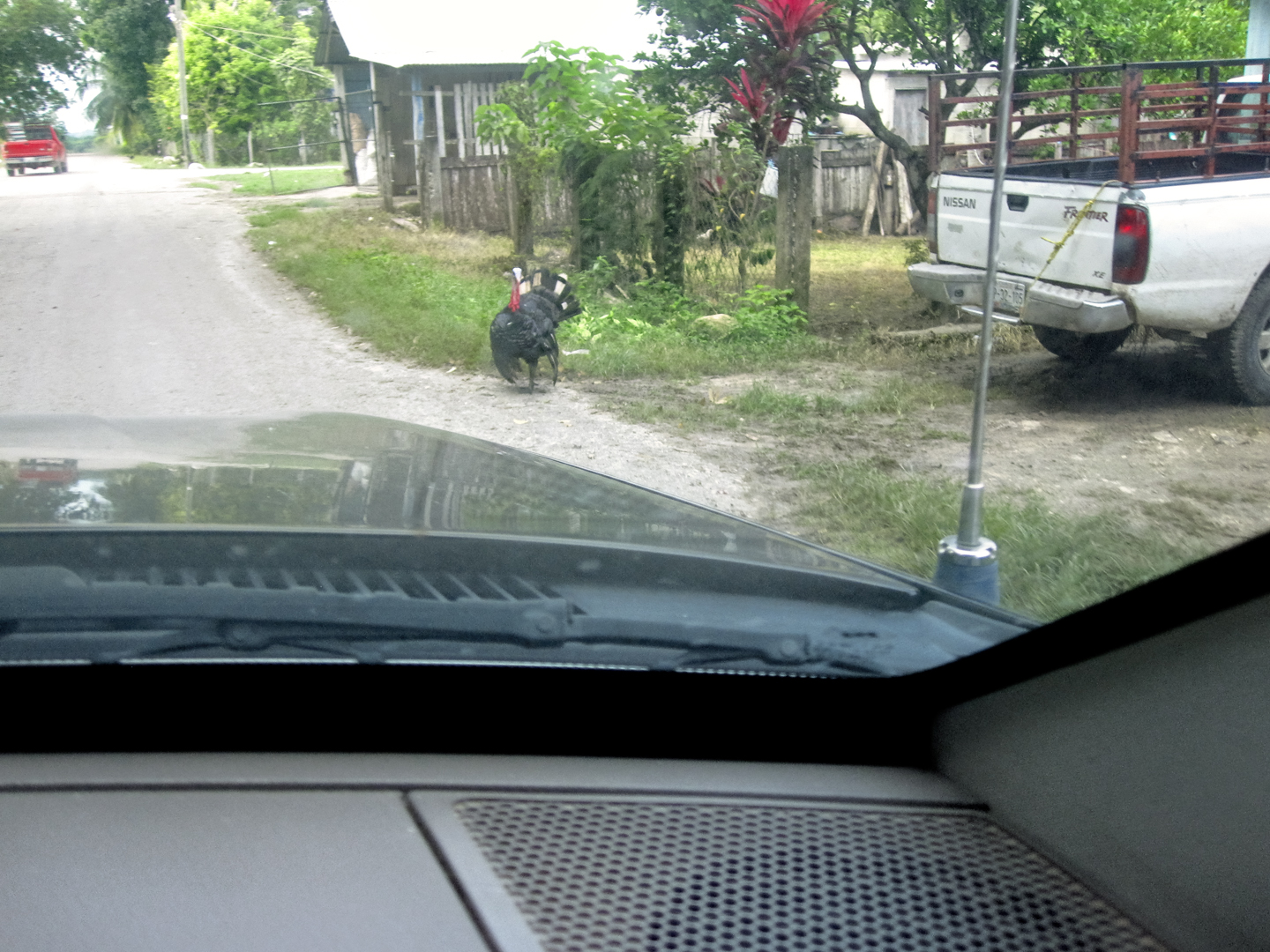
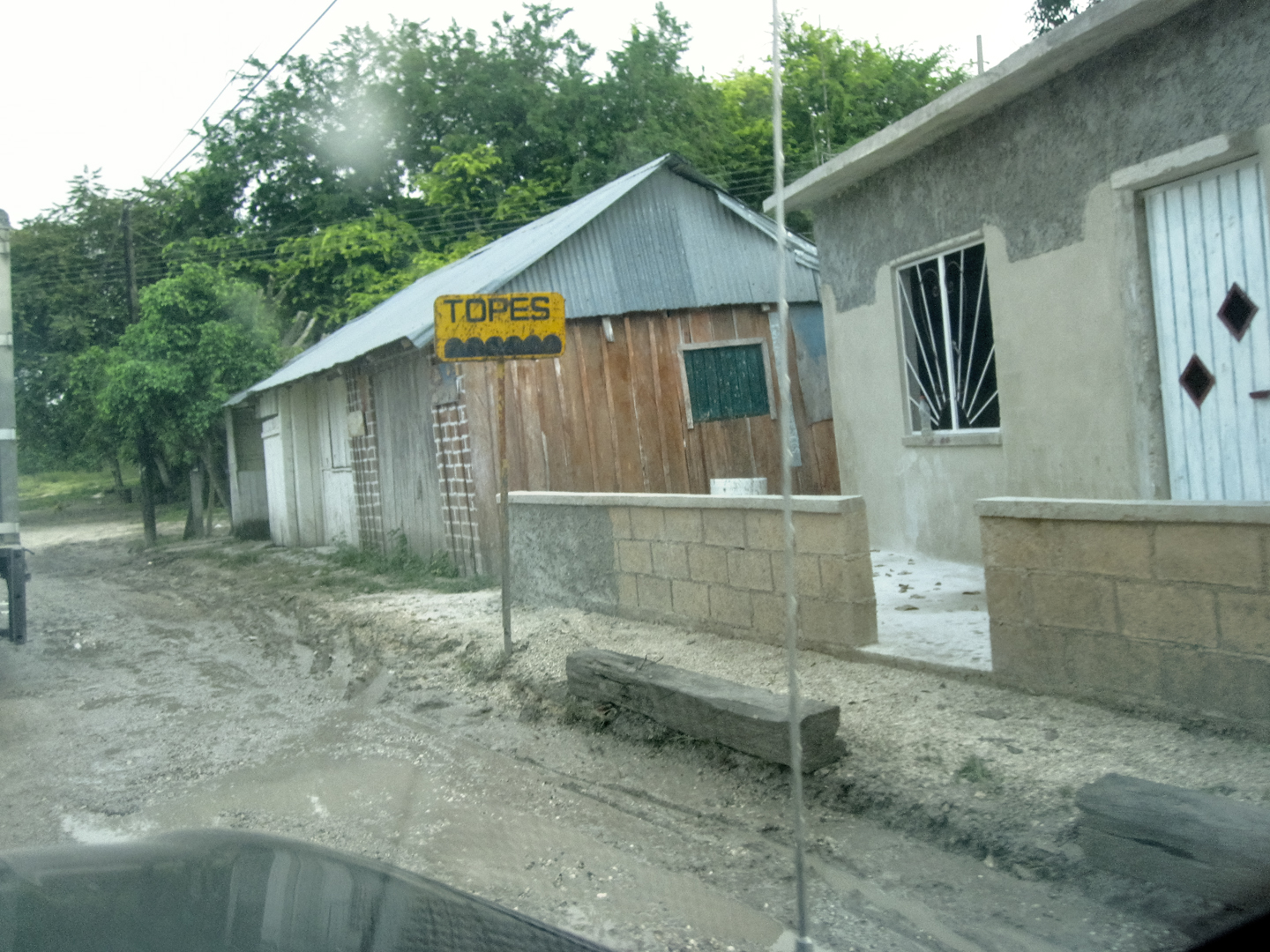
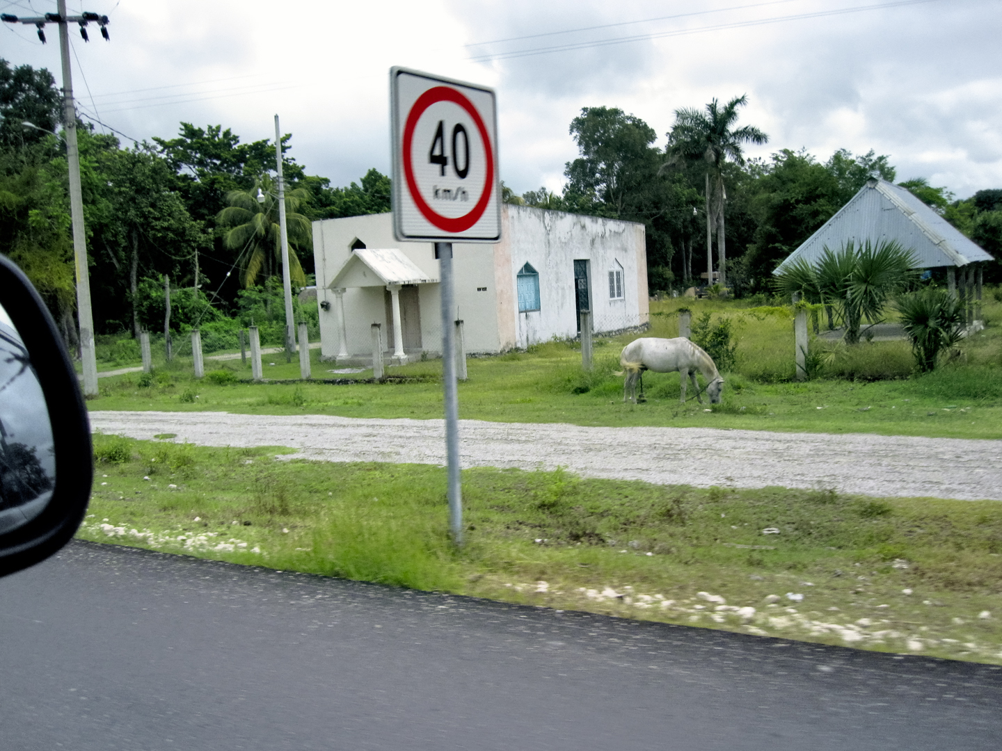
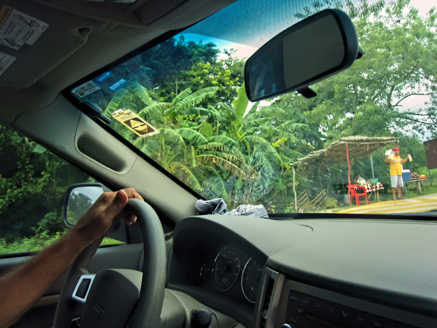
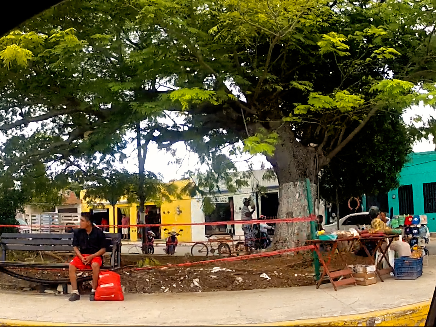
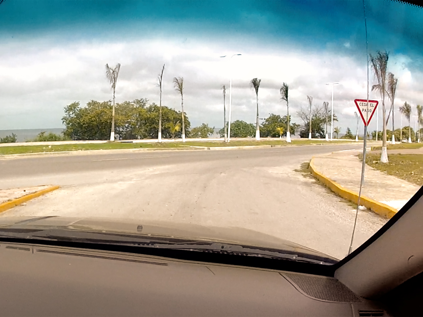
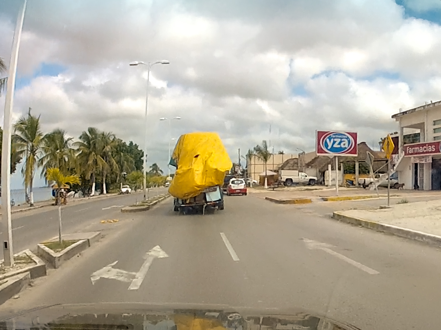
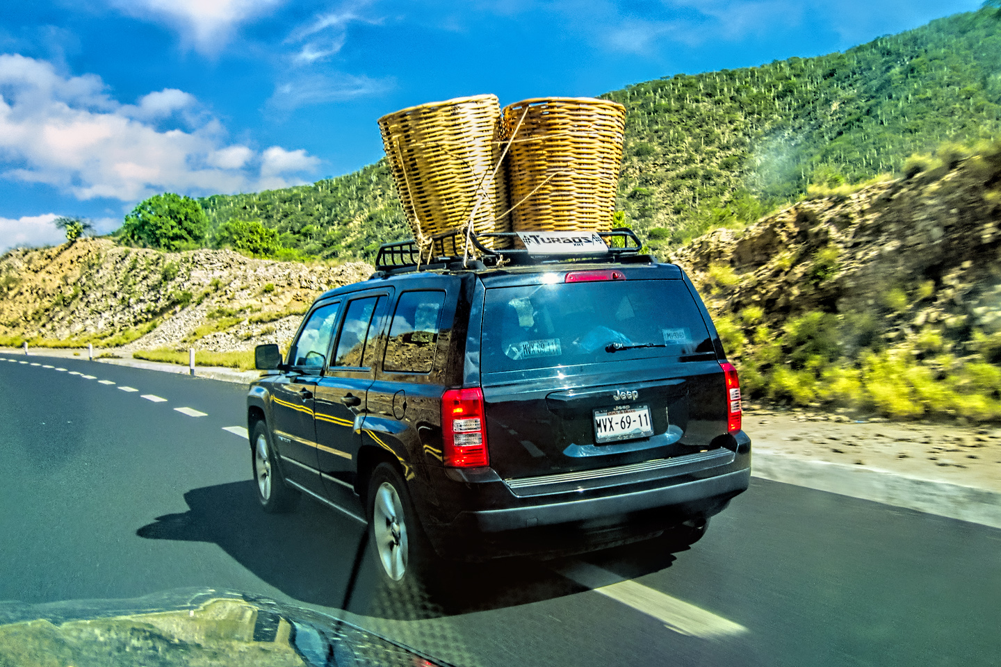
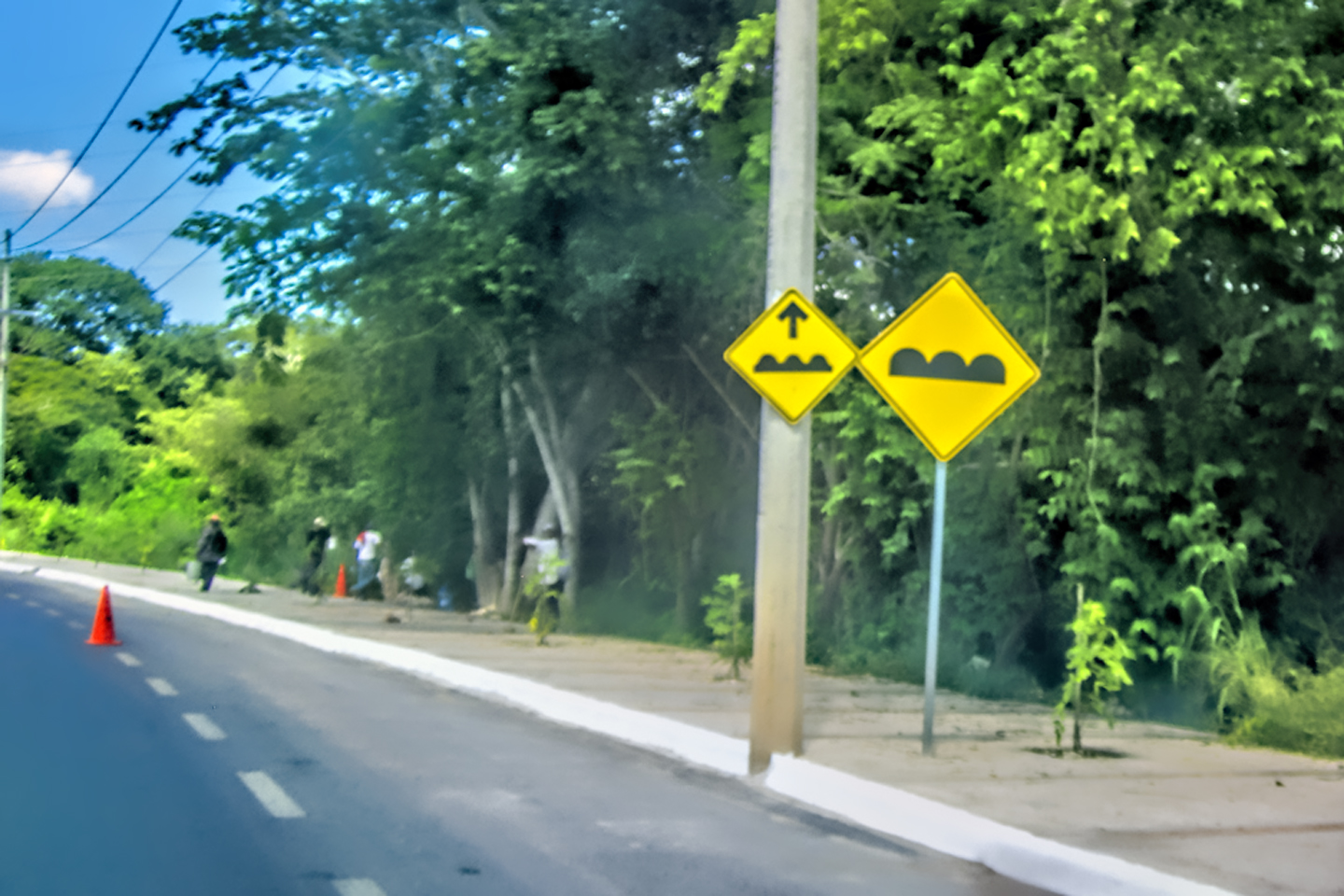
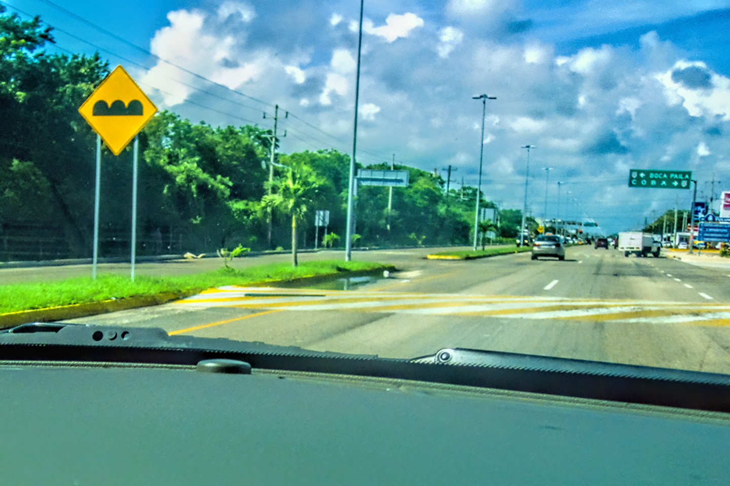
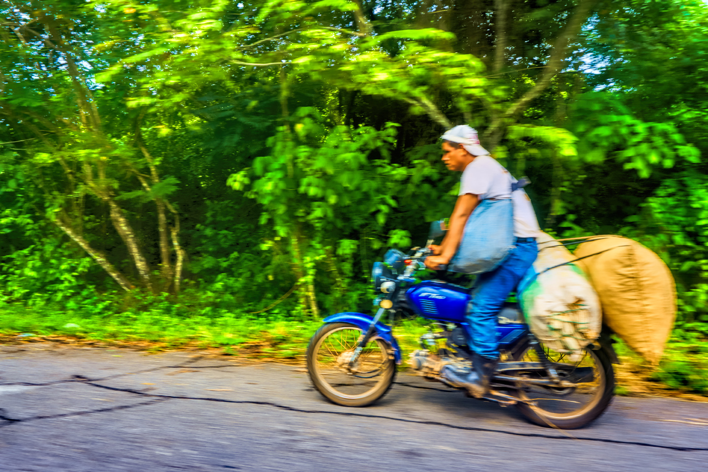
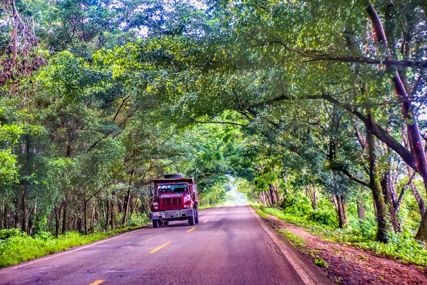
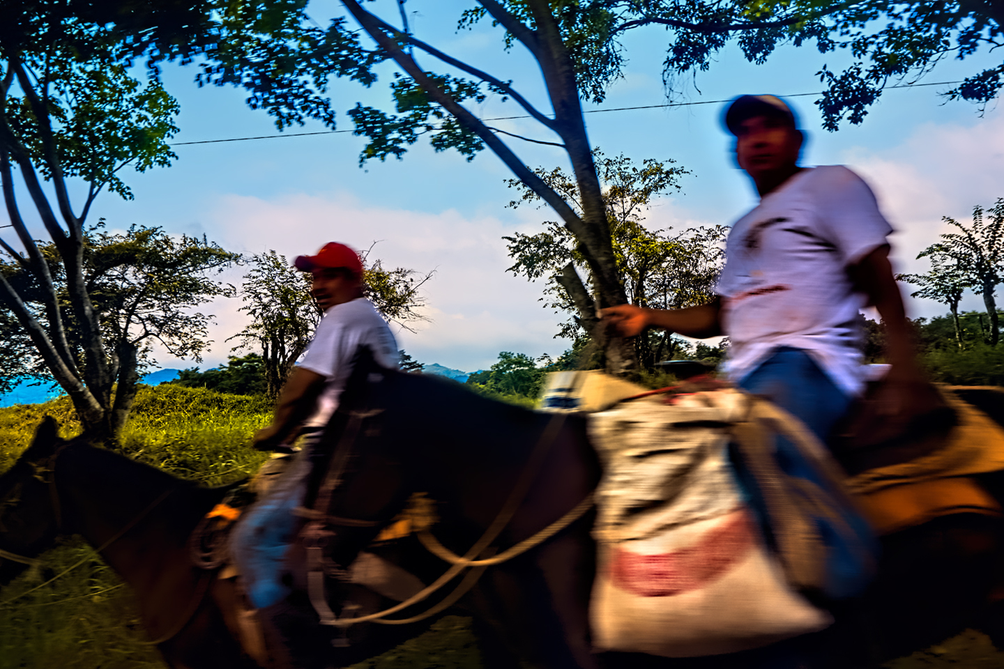
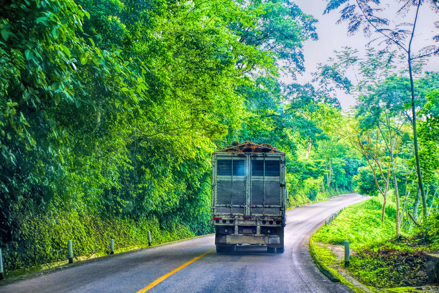
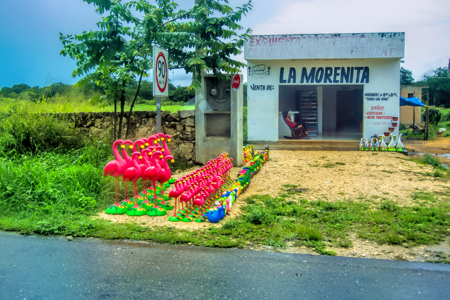
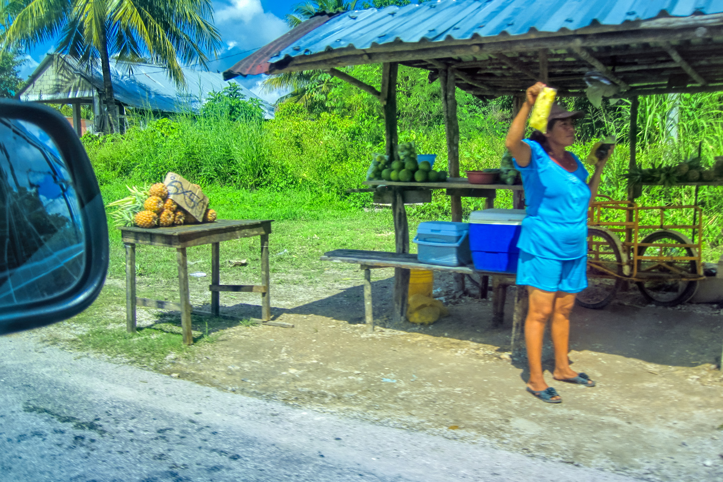
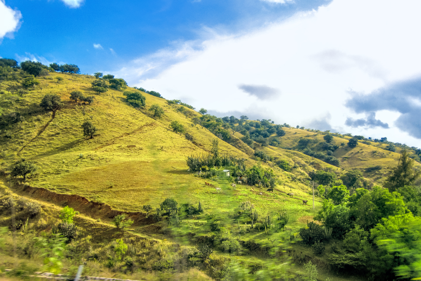
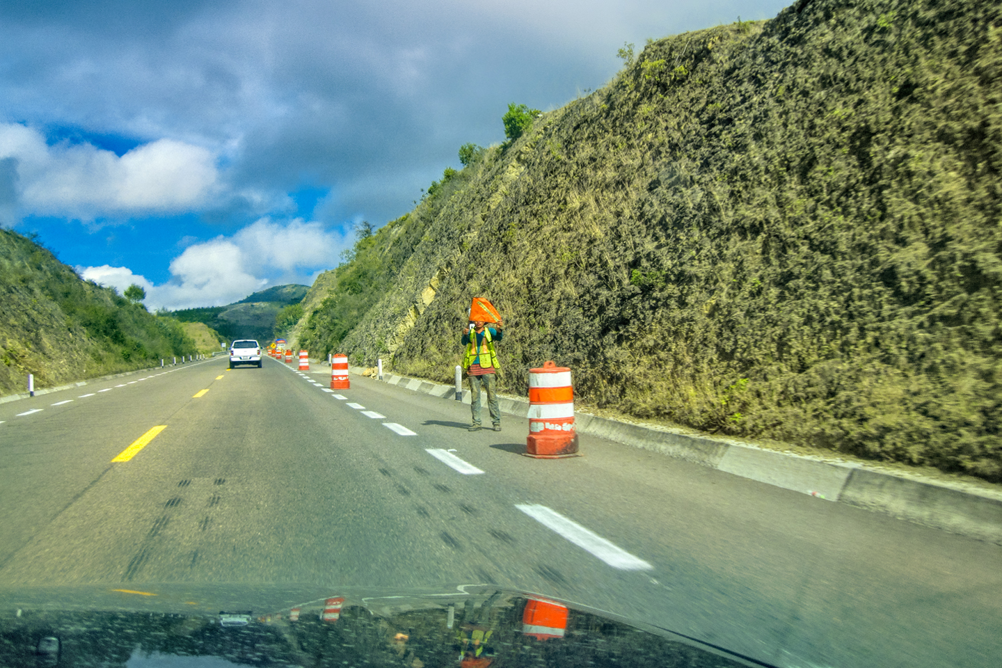
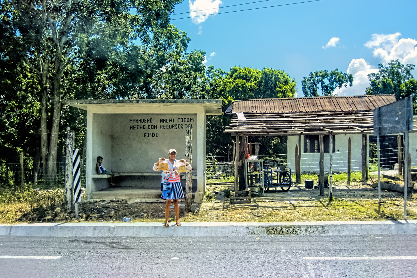
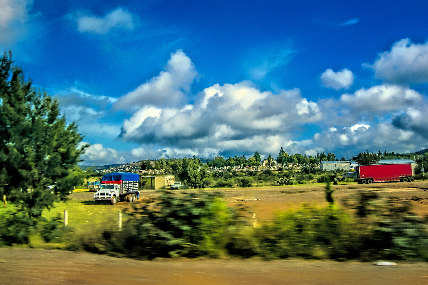
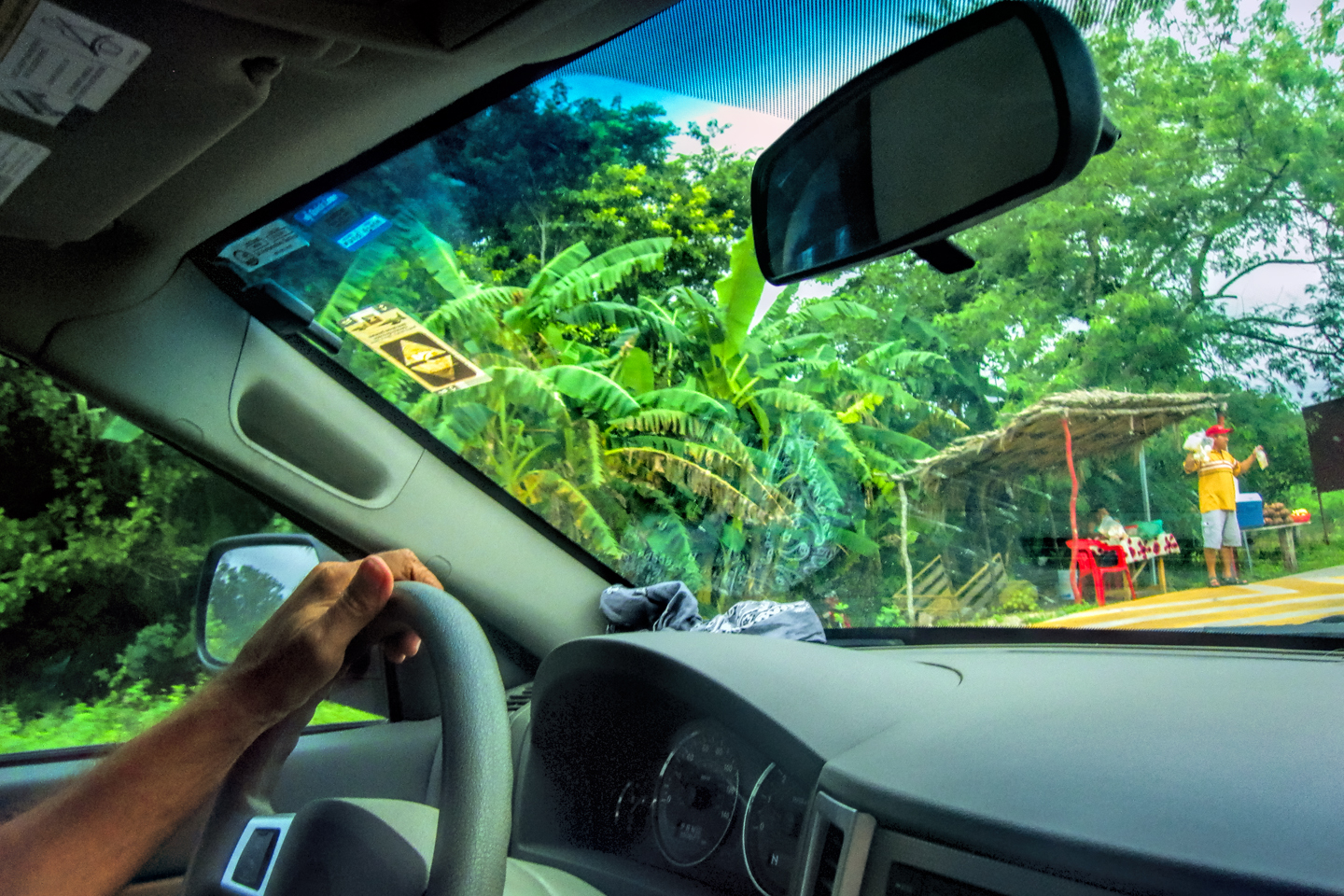
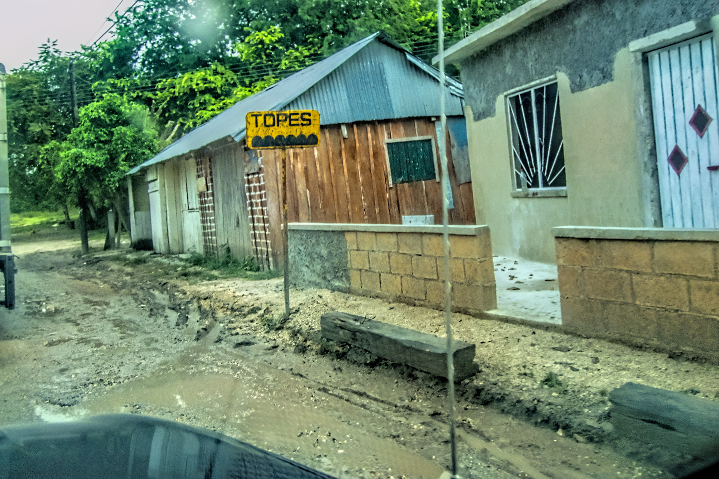
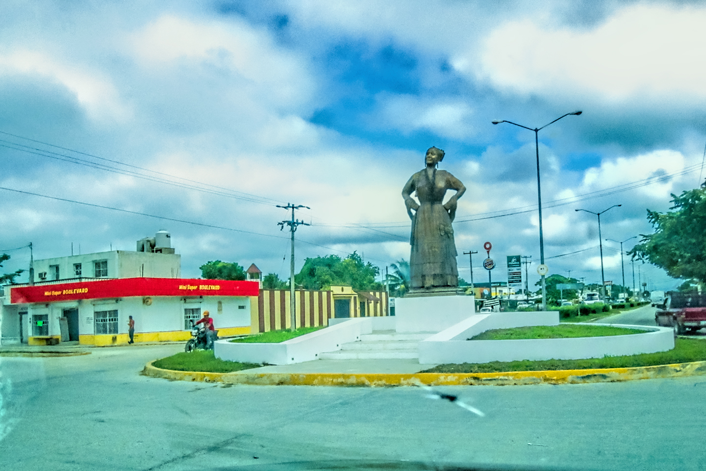
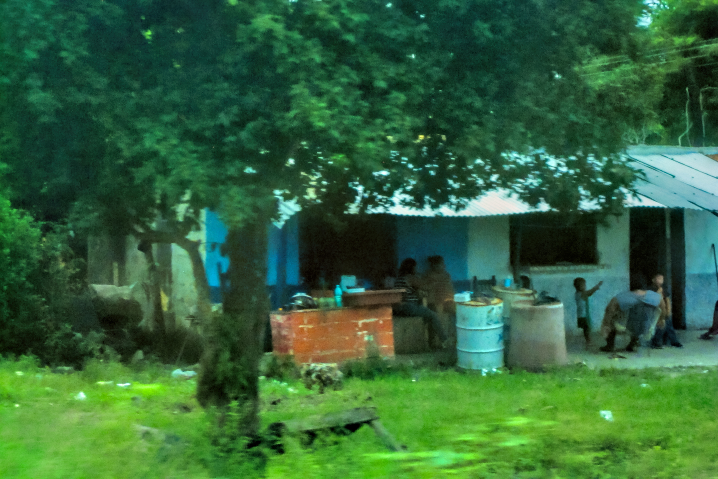
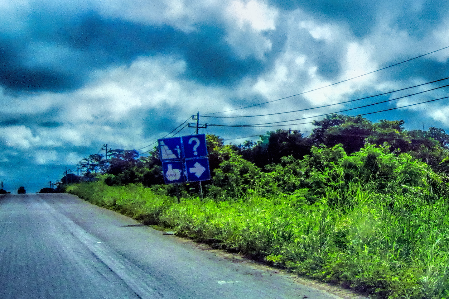
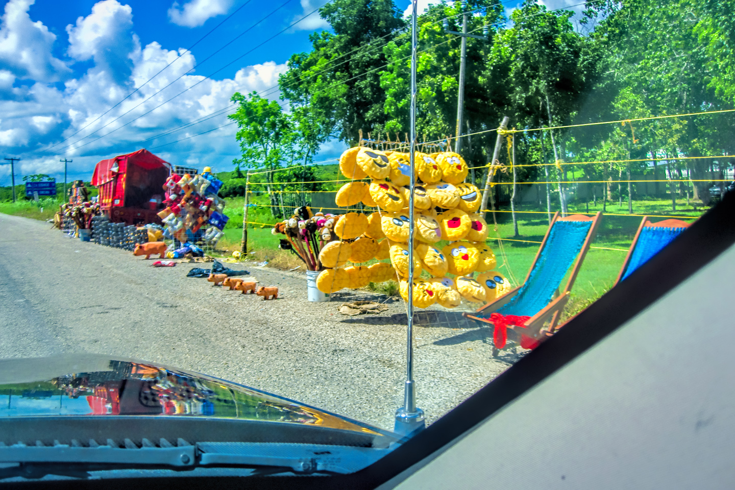
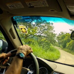
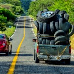
Most of this day’s route was a rerun: when we drove from Palenque to Merida the previous week, we traveled the exact same road, and it really did seem familiar, distinct from all the other roads we’d driven since crossing the border. This was a very rural highway, with turkeys, topes, horses wandering loose, and vendors selling heaven knows what from stands at the side of the road. We went through a roundabout where they had a statue dedicated to “La Campechana,” a woman of Campeche in traditional dress, hands on her hips, and showing a defiant attitude. This whole part of the Yucatan had a unique cultural identity, and I was looking forward to experiencing some of that.
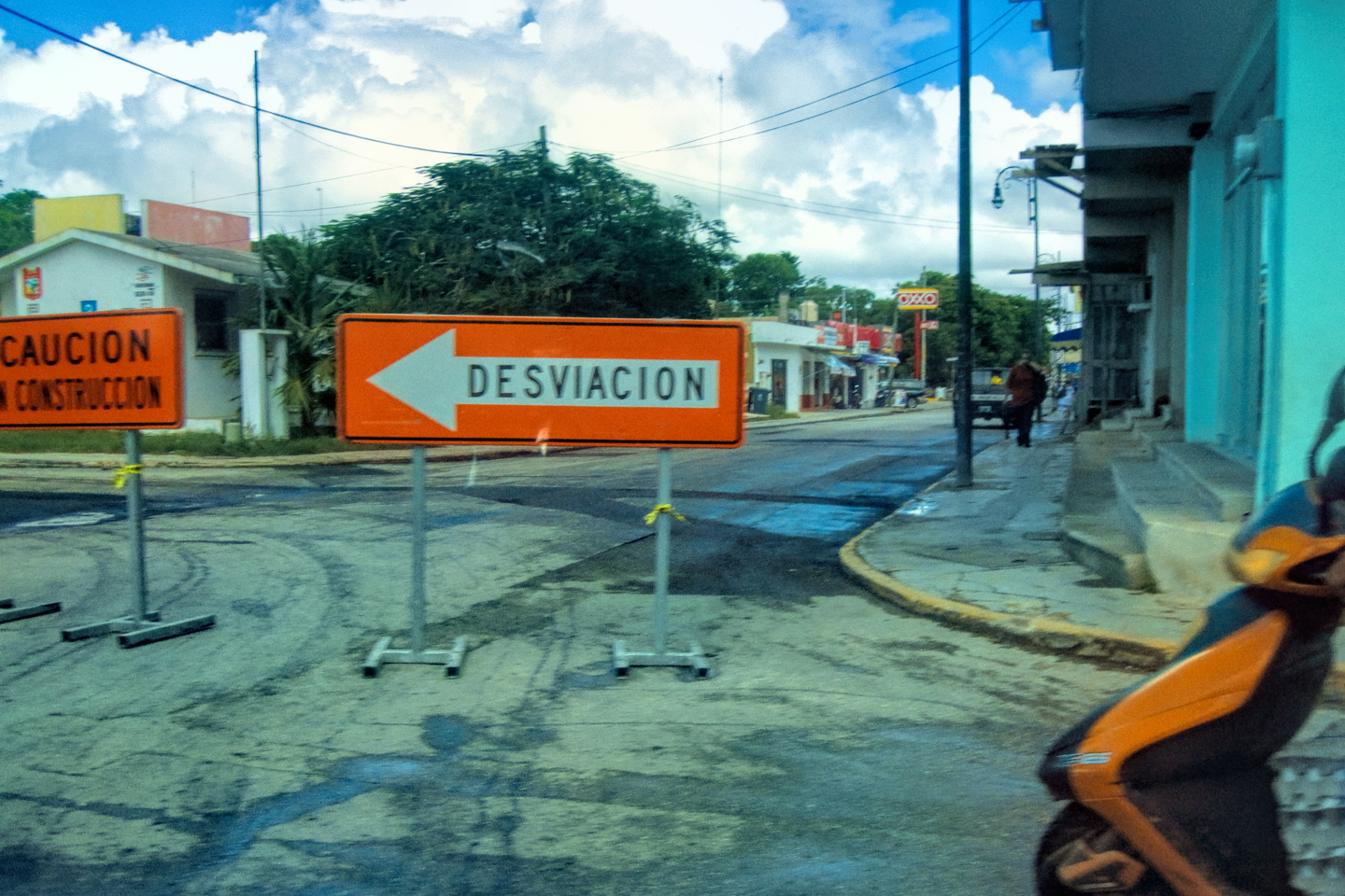
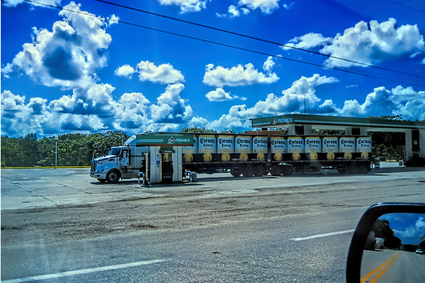
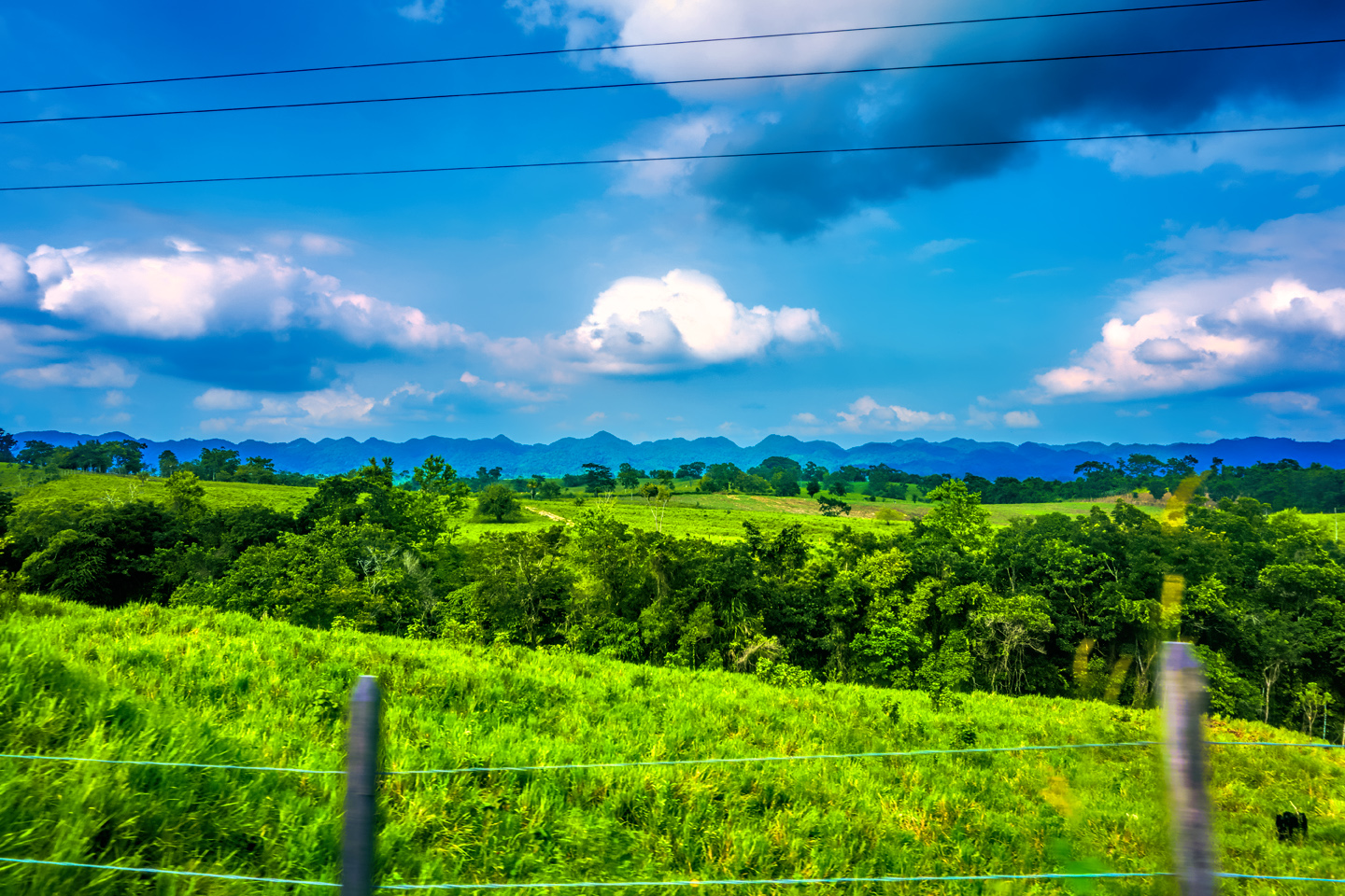
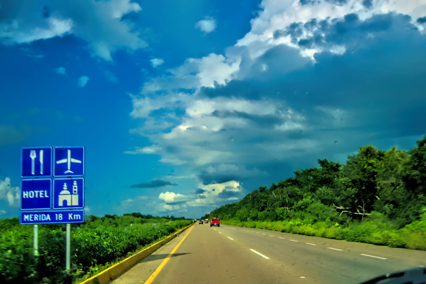
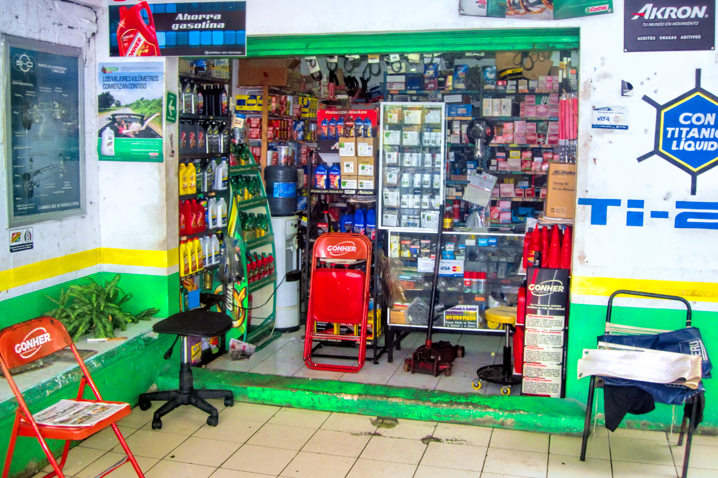
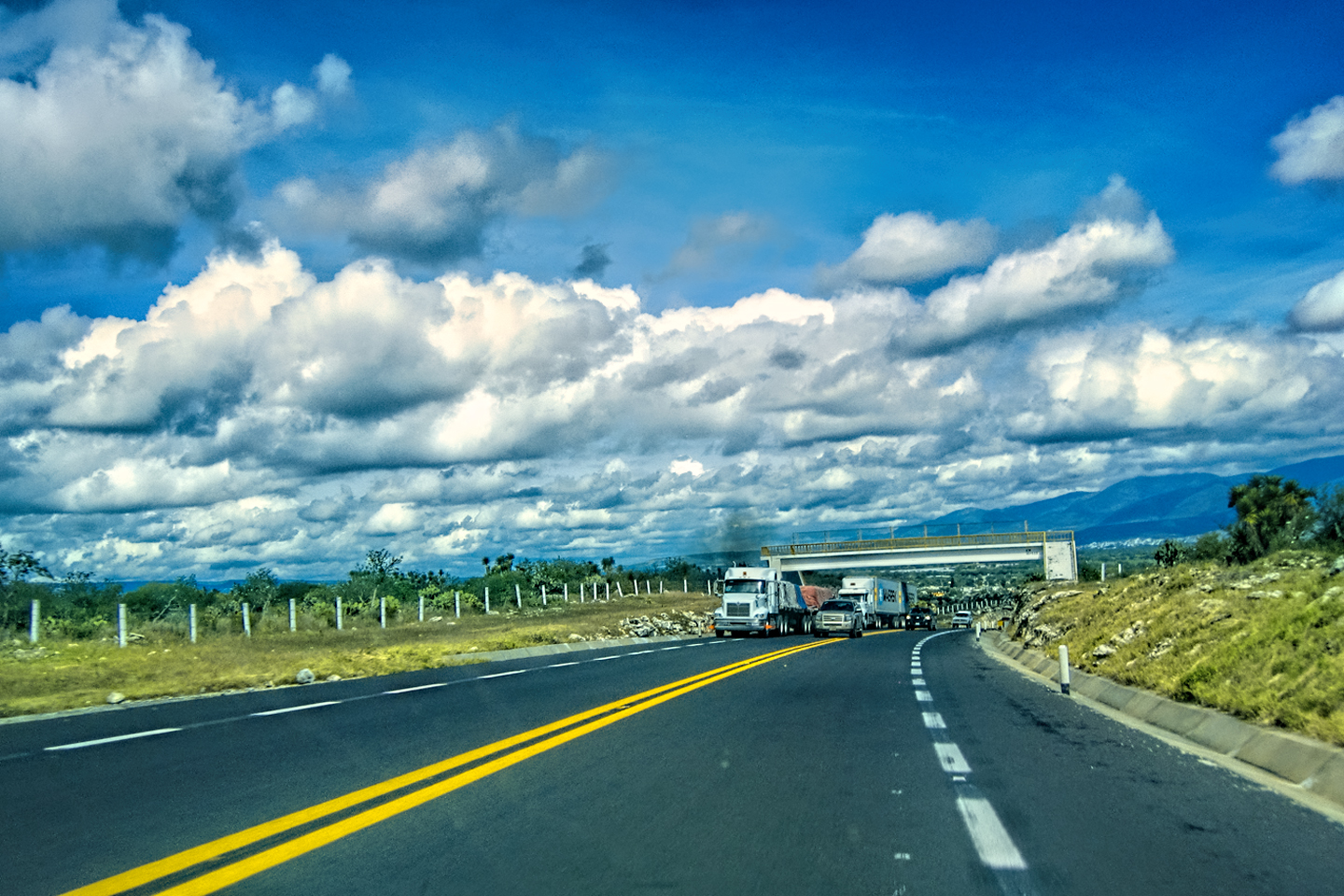
Scenes along the road from Escárcega to Champoton
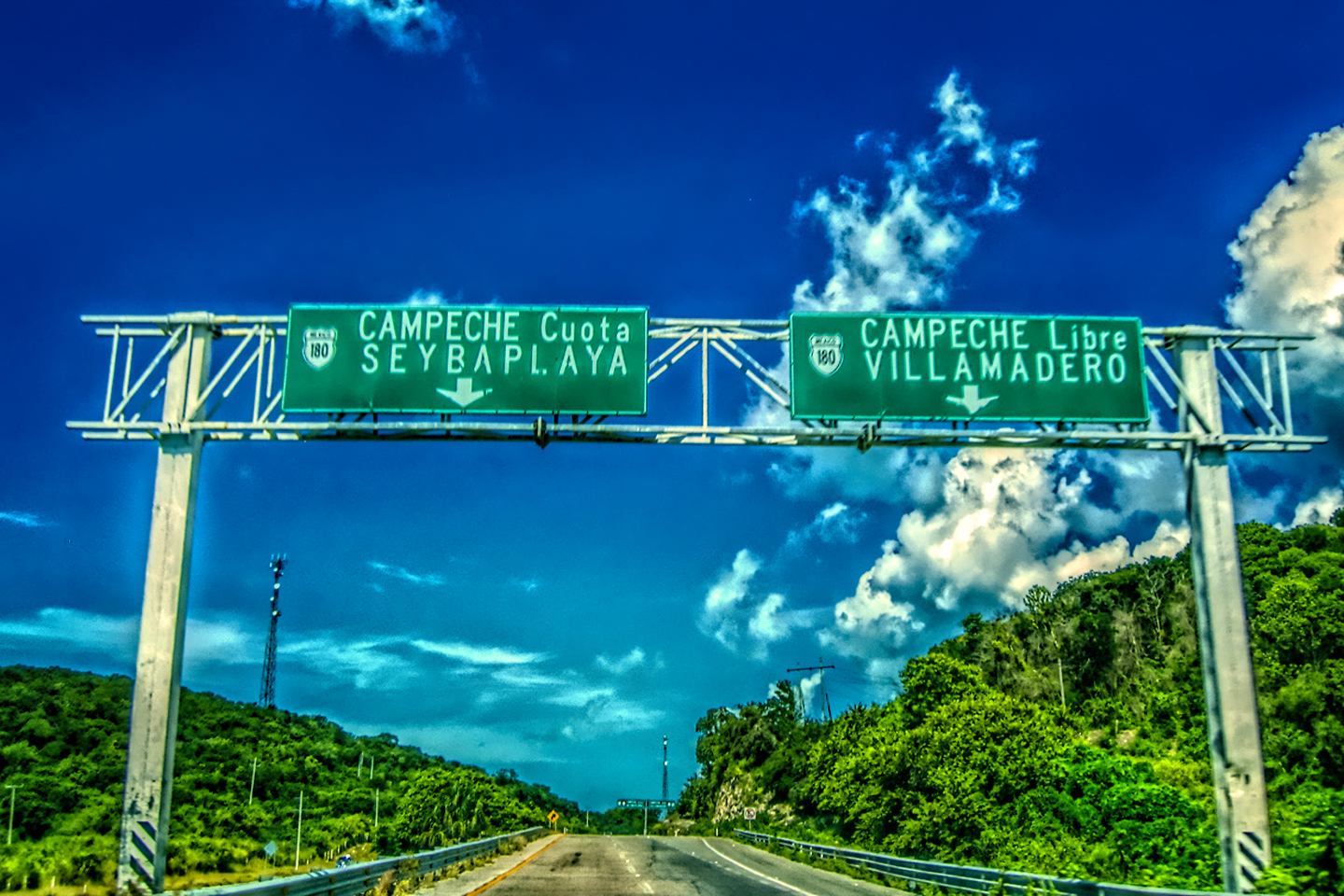
Once we got to Champoton, we could smell the salt air from the Gulf of Mexico as the road merged with MX 180, the highway that runs along the coastline. The town was larger than I remembered, and there was a fair amount of traffic, but we finally got through it, and back out on the open road. We entered an agricultural area, passing numerous cultivated fields, but these weren’t large scale farming operations. Rather, they were mostly small family plots where people still worked the land with horse-drawn plows (along with the occasional tractor). Life out here was far removed from the gritty hustle and bustle of the towns. Were the country people better off than the city dwellers? That’s very much a matter of opinion.
Champoton, and scenes along the road to Edzná
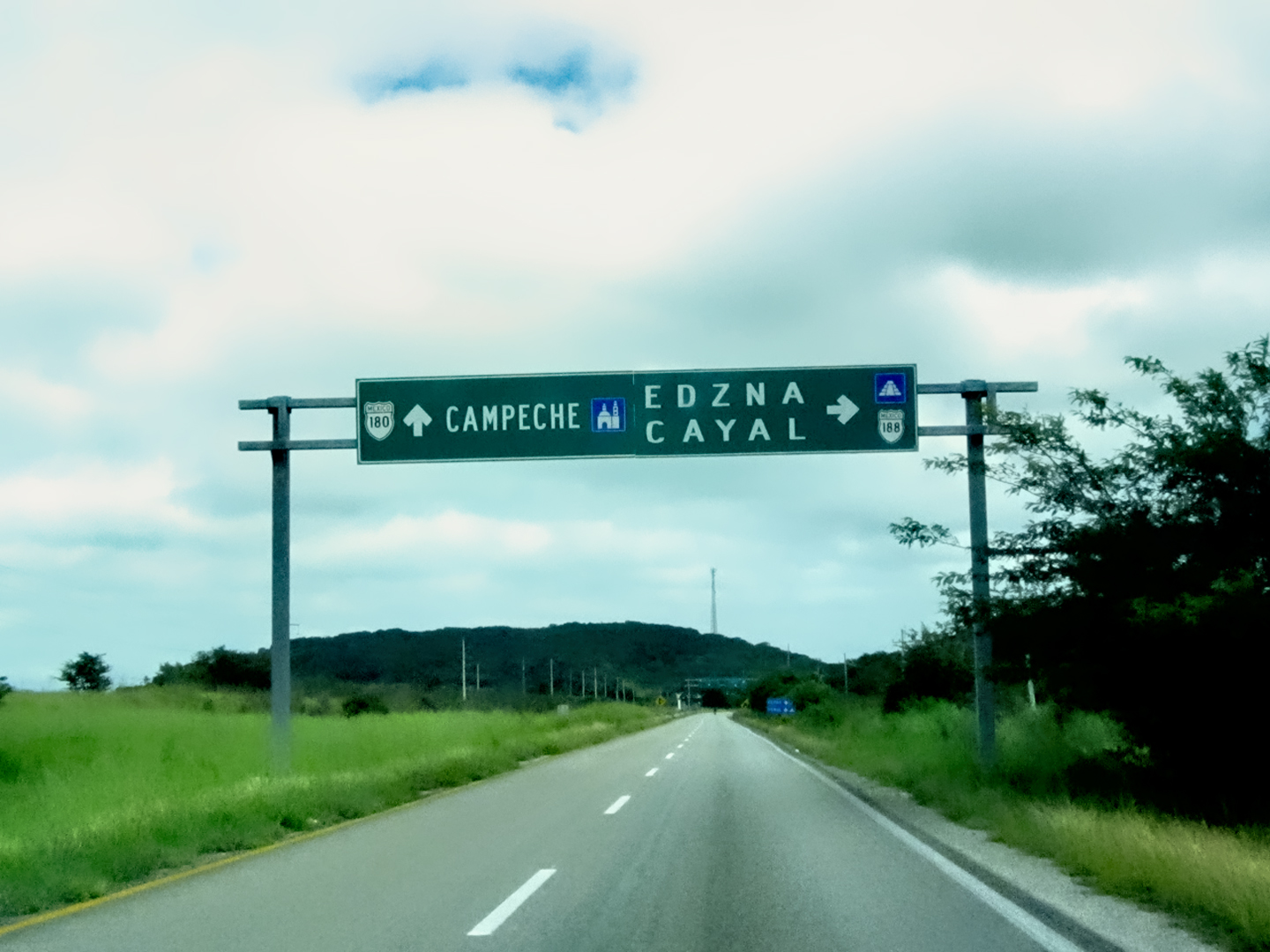
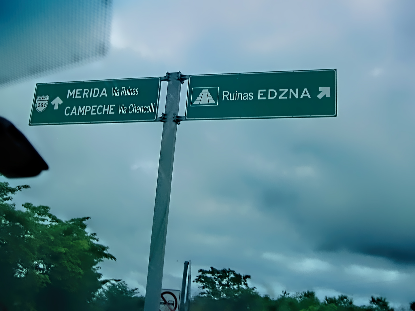
When we reached the intersection with MX 188, we made a right turn toward the ruins of Edzná. We still had some flexibility, as far as WHICH Mayan cities we should visit, and I’d been studying my guide books, looking for the most interesting possibilities. Edzná came highly recommended as one of those “hidden gems” that shouldn’t be missed, so it wound up at the top of our list. As we approached the ruins, the trees closed in on both sides of the road, and signs directed us to the “archaeological zone,” and the parking area for Edzná, The First House of the Itzás.
THE ITZÁS
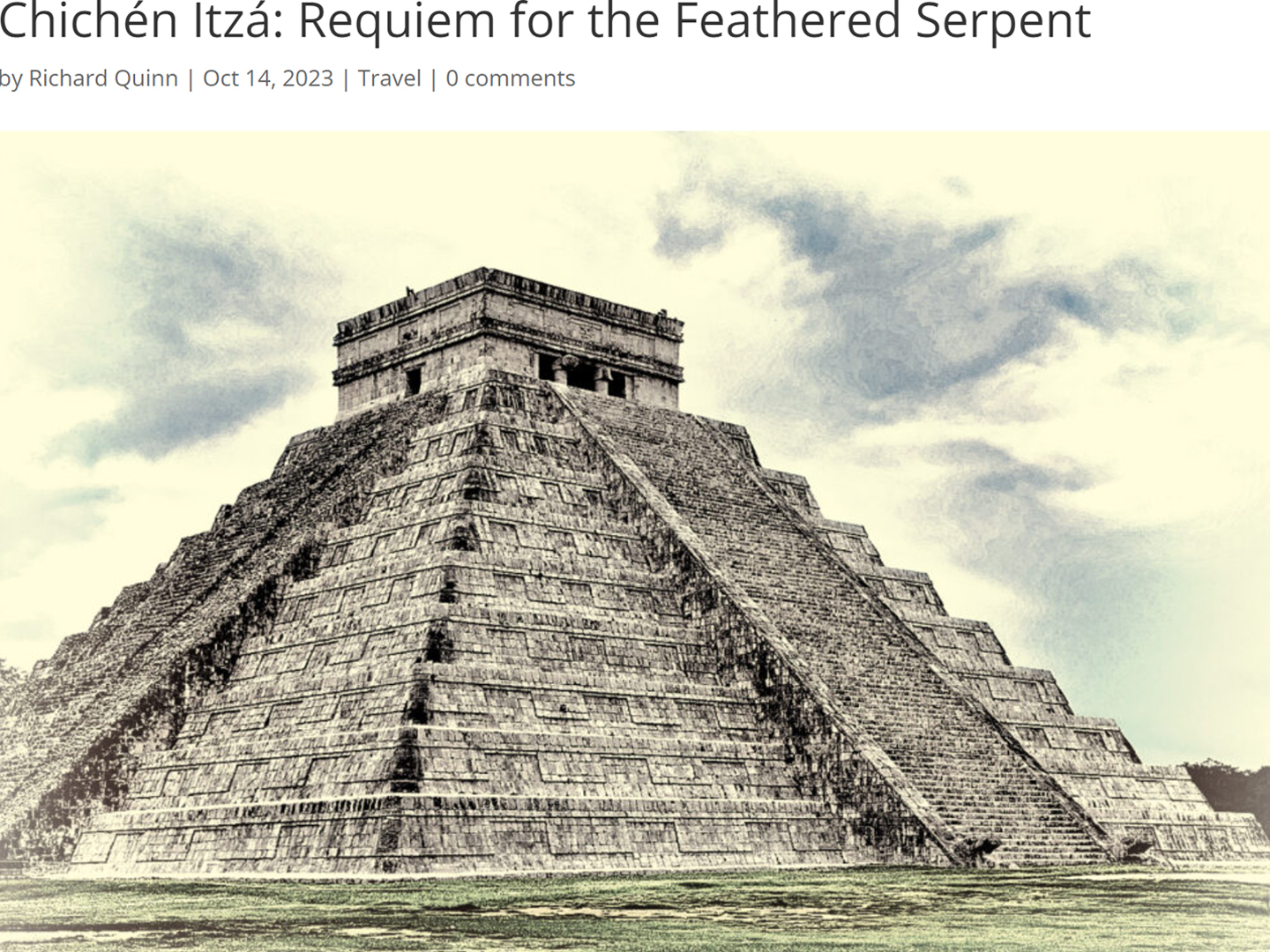
First House of the Itzás? That’s a statement that prompts a question: just exactly who, or what, were the Itzás? In a nutshell: they were an ethnic group. The ancient Maya were never a single unified cultural entity. There were dozens, if not hundreds of different ethnic divisions, ranging in size from isolated clans with a few dozen members to sprawling cities with tens of thousands of citizens. There were scores of different Mayan dialects, countless unique oral traditions, and endless variations in the style and pattern of dress. The Itzás were a particular ethnic lineage, and, more importantly, they were a noble bloodline of kings with exceptional organizational skills. They rose to prominence in Edzná, and when their population outgrew the food supply, many of them migrated to the northern Yucatan, where they founded what might be called the “Second House of the Itzás.” That one turned out to be a bona fide wonder of the world, and it still bears their name:
Chichén Itzá!
(And now you know!)
EDZNÁ
There were four or five other cars in the small parking lot when we got there. They were apparently the first shift, the folks who came early when the park first opened, and by the time we arrived, they were already starting to leave. At that, we had this marvelous ruin practically all to ourselves, almost from the moment we walked in! But, hang on, I’m getting ahead of myself.
Edzná is one of the older Mayan sites. First settled way back in 600 BC, the city flourished for the next thousand years, becoming a center of significant influence in the Late Classic era of the Mayan civilization. From 400 AD until around 1000 AD, Edzná dominated the surrounding region. At its peak, the city was home to 25,000 people, spread across a territory of ten square miles.
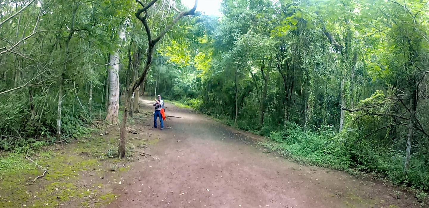
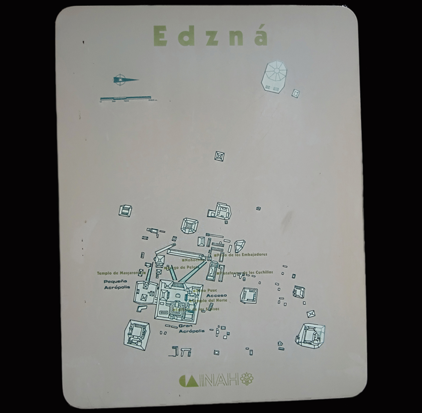
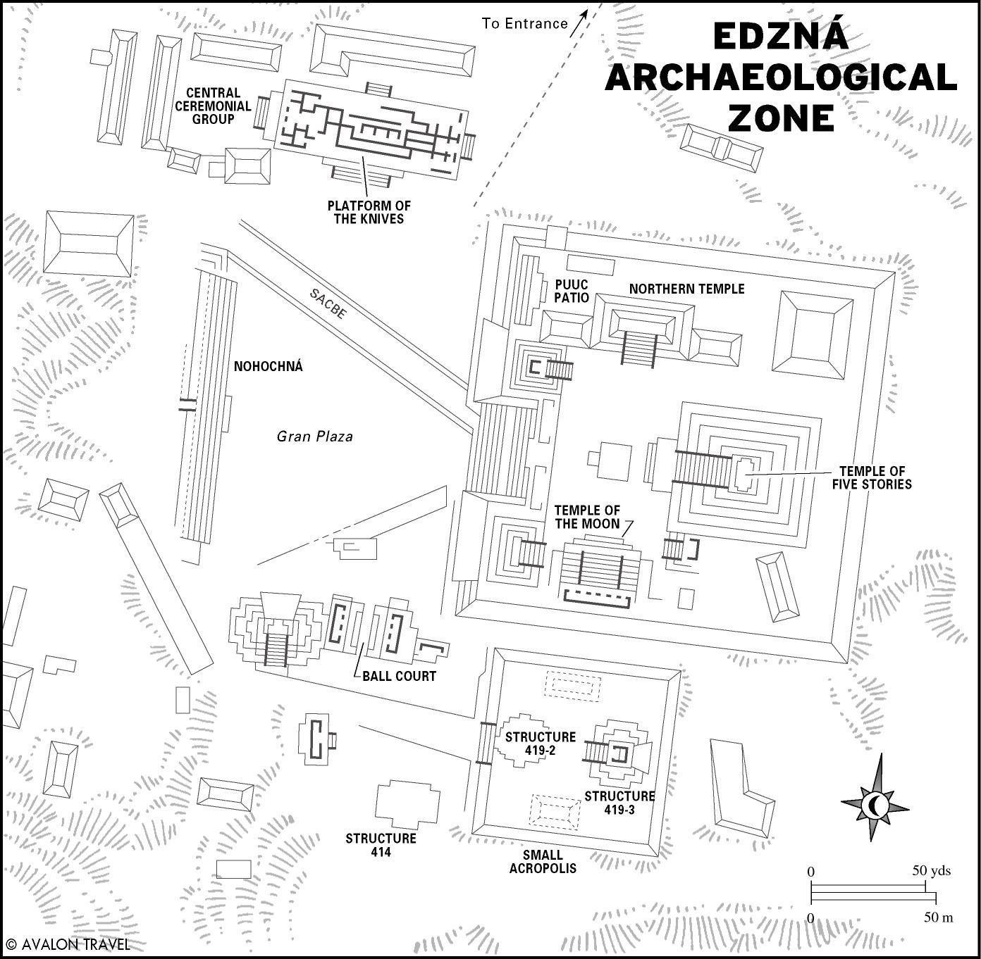
We studied the site map near the entrance, and I could see that the main section of the ruin was relatively compact, with most of the important structures clustered around an acropolis, where the largest pyramid was located. We had to walk for half a mile or so on a wide path before we reached a cleared area, and the first of the ancient stone buildings.
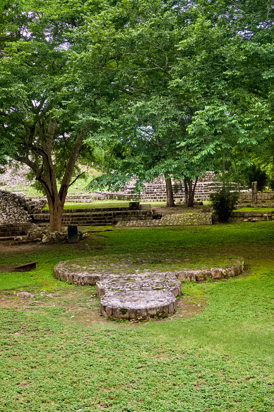
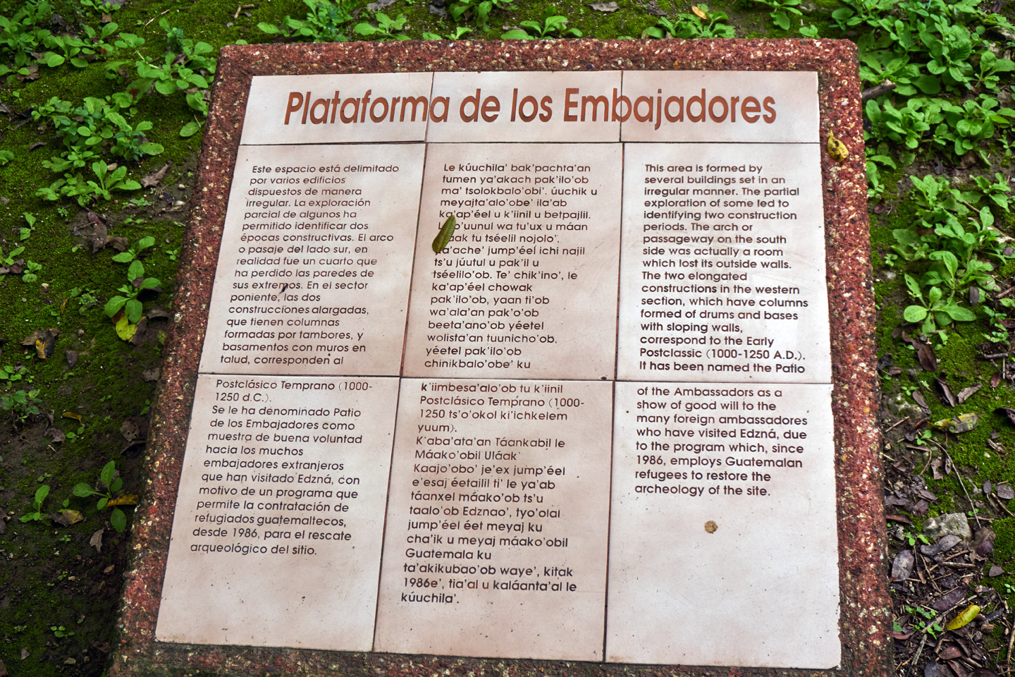
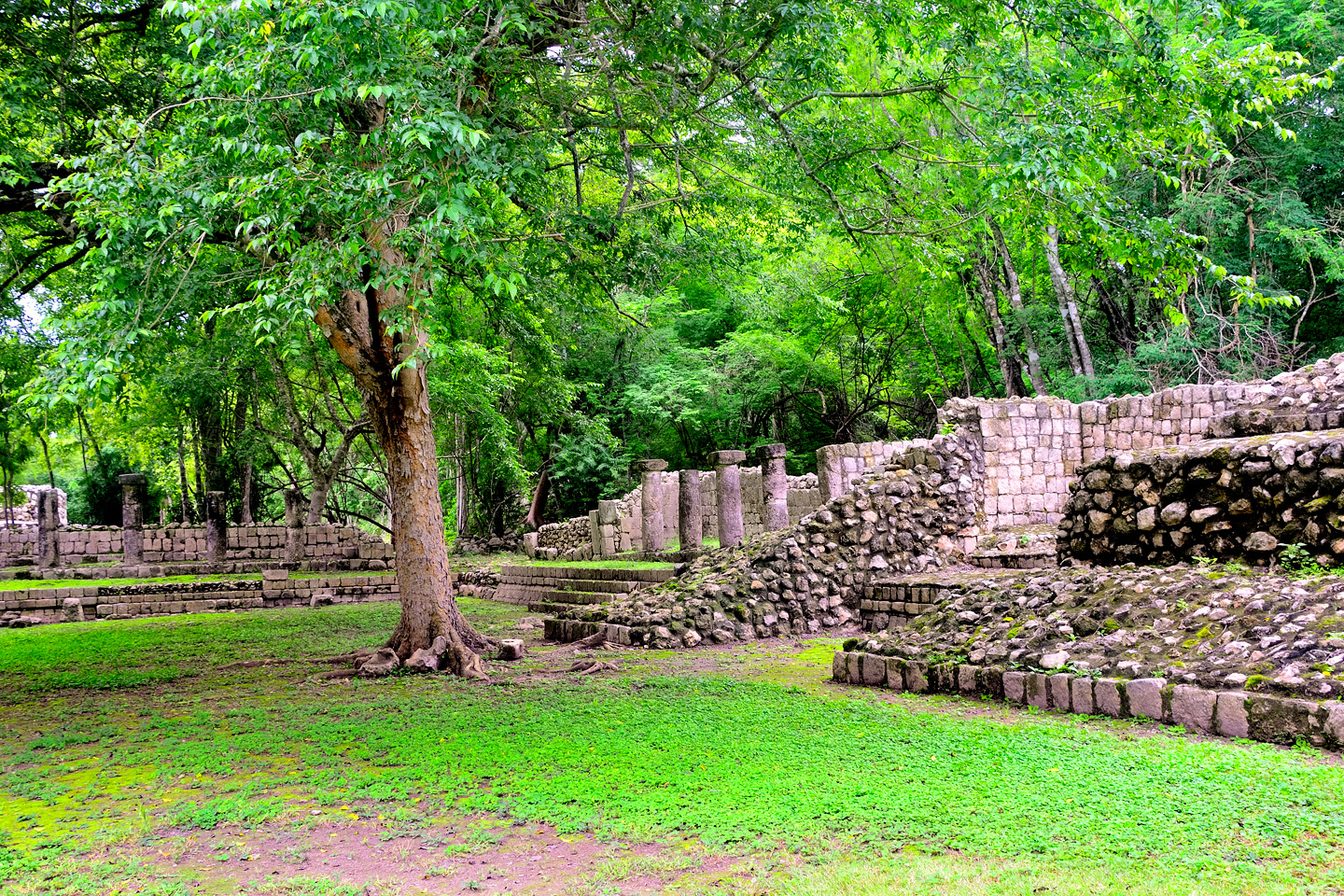
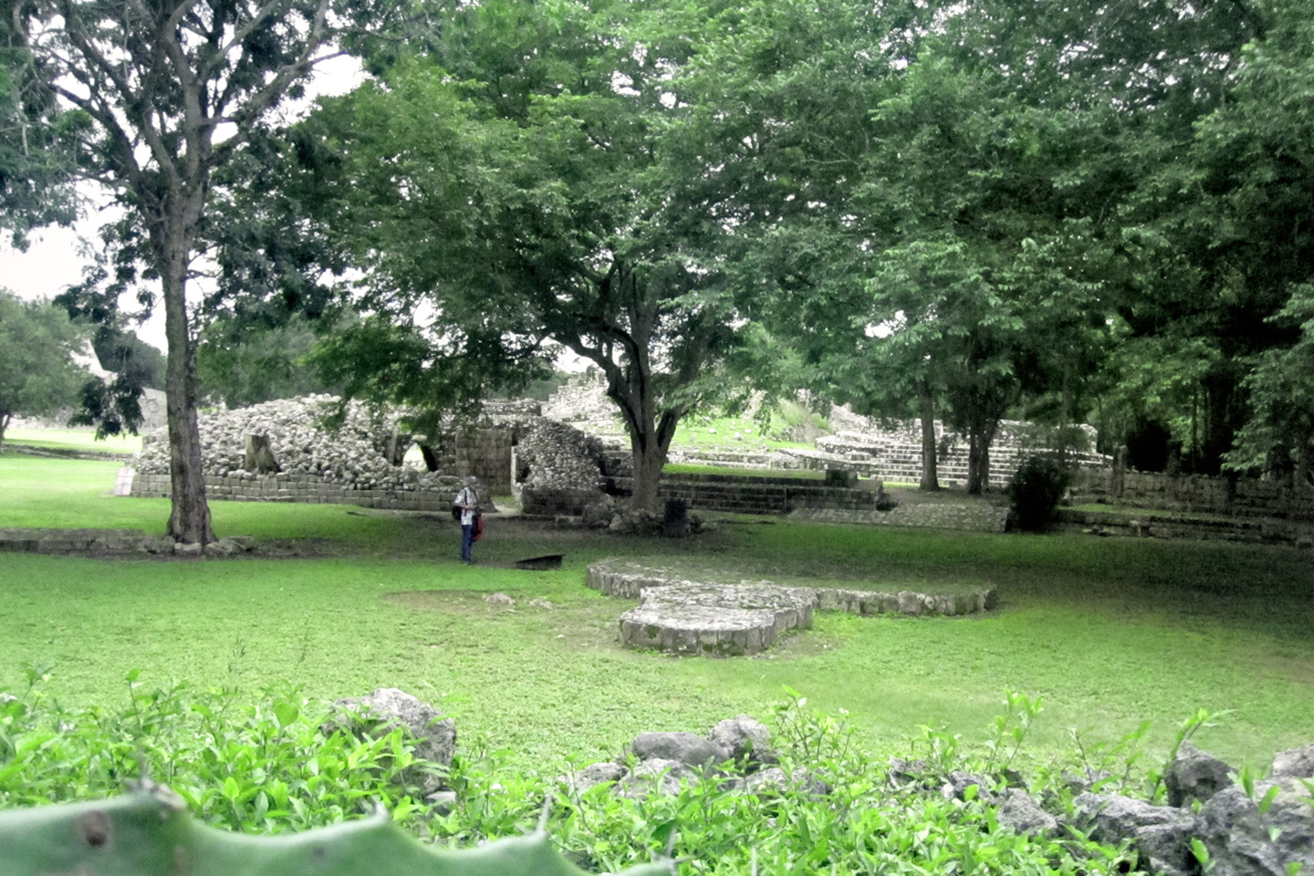
The buildings surround a plaza, centered around a stone altar, consisting of one large, and two smaller circular platforms. Significant efforts have been put into the restoration of this part of the ancient city, and much of the labor was provided by a group of Guatemalan refugees, working with a program that combined badly needed humanitarian relief with historic preservation. Funding for the program that employed the Guatemalans was raised by a coalition of European diplomats, many of whom have visited the site in support of those efforts. Originally known as the Grand Plaza, the restored grouping of ruins was renamed the “Courtyard of the Ambassadors,” in honor of the men who made it possible. Ironically, the refugee laborers, like most of the region’s poor, are modern day Mayans, descendents of the people who built the city in the first place.
Circular altar, Courtyard of the Ambassadors
MOSQUITO BARRAGE!
We were warned at the entrance about mosquitoes, and they weren’t kidding! With all the recent rain, the pest population was exploding, and Mike and I were apparently the only warm-blooded creatures in a two mile radius. Fortunately, I had a bottle of 40% DEET insect repellent in the glove box of the Jeep, left over from my drive to Alaska. We slathered it on liberally, and neither of us got badly bitten, despite the swarms of blood suckers that followed everywhere we walked.
Here’s a tip for you: When touring Mayan ruins in the rainy season, bring plenty of DEET!
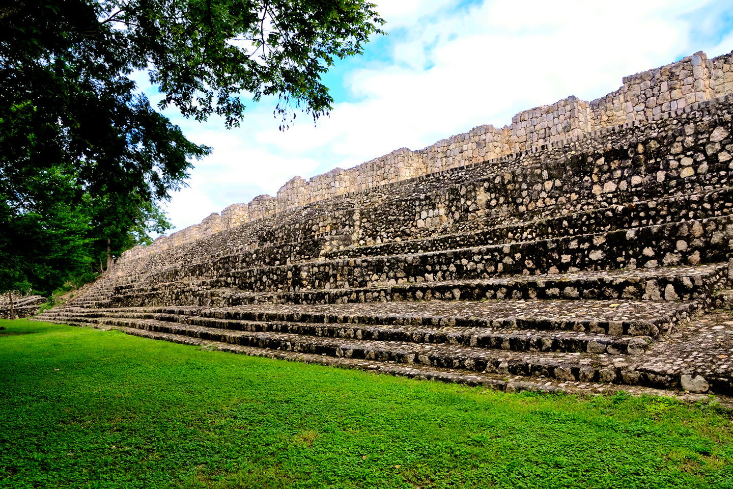
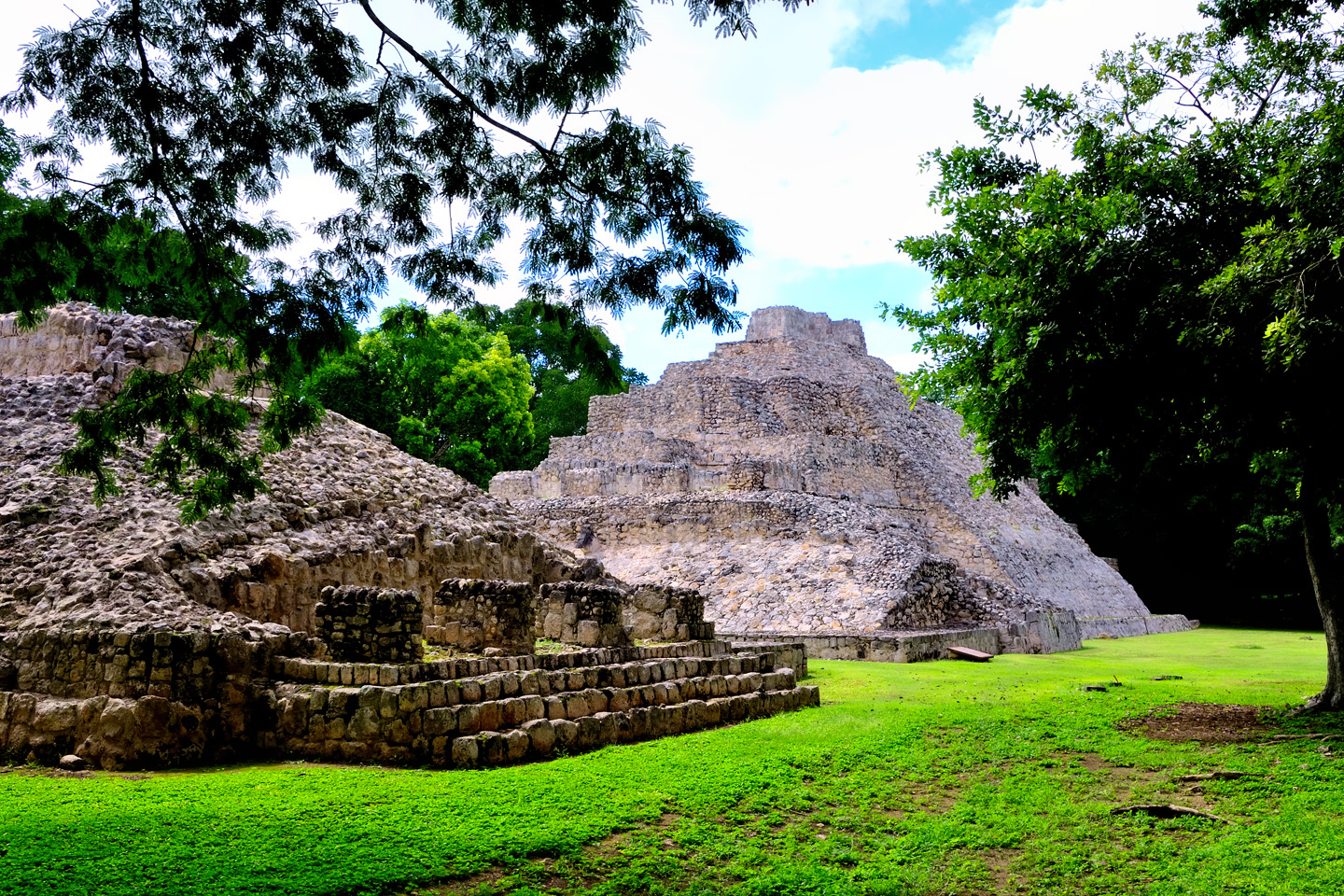
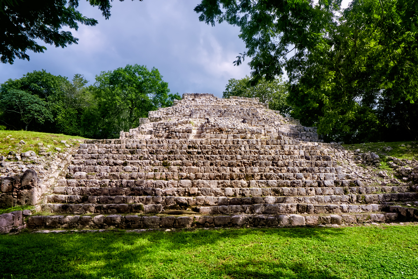
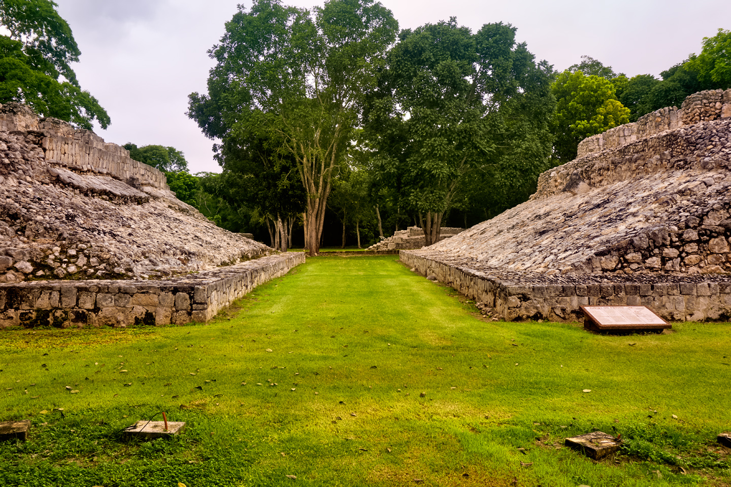
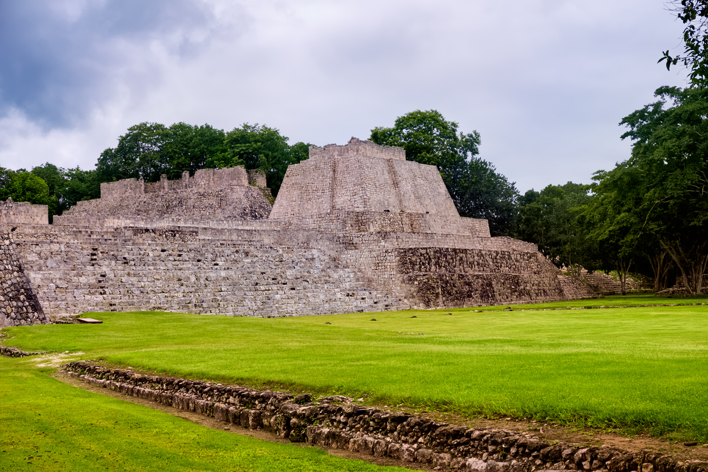
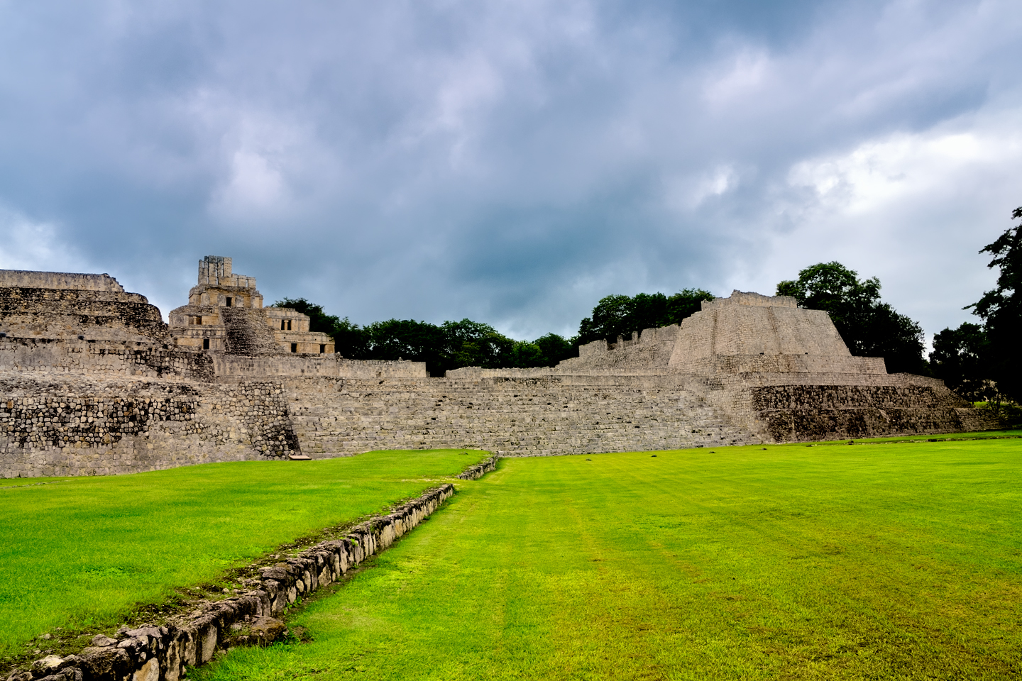
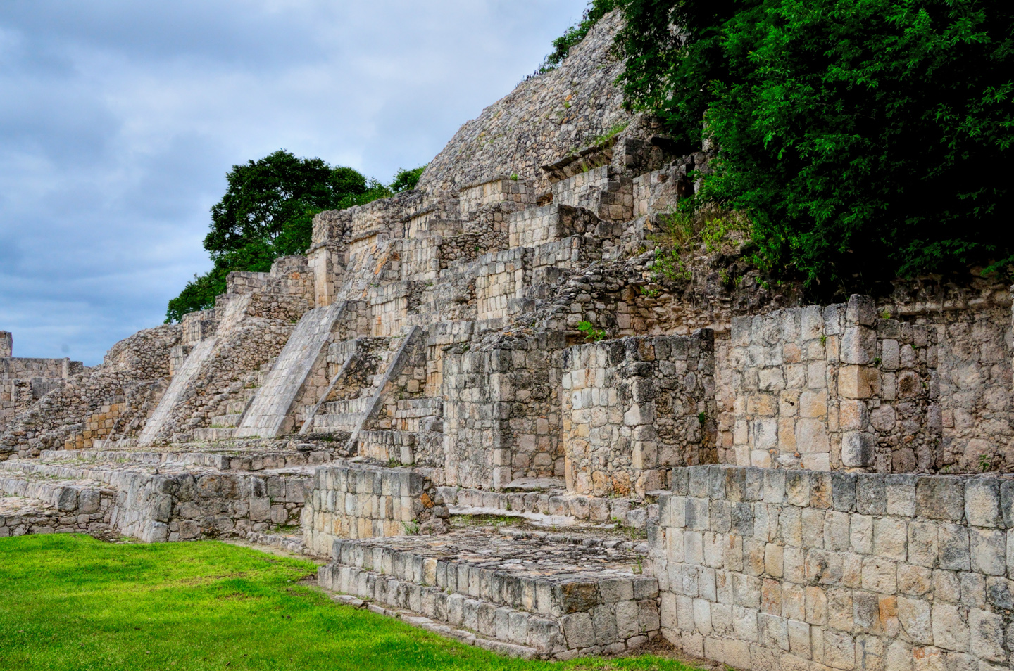
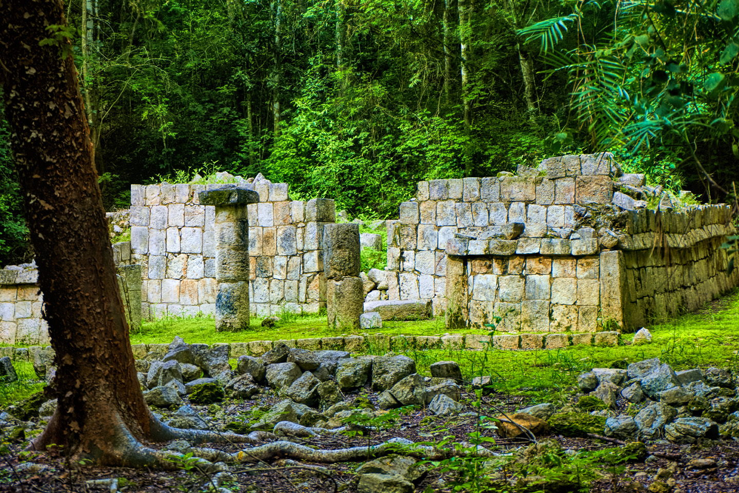
Whether restored or not, the remnants of Edzná are impressive, well built and artfully designed. The older buildings are based on Peten style architecture, while the newer structures exemplify the Puuc style, similar to what we saw at Uxmal. Near the courtyard, there’s a stepped platform called the Nohoc Na, the Big House, more than 400 feet long and 30 feet high, as well as a ball court that’s missing its goal rings. Beyond that, several small pyramids, some built in a simpler style and obviously older, from the early days of the ancient city.
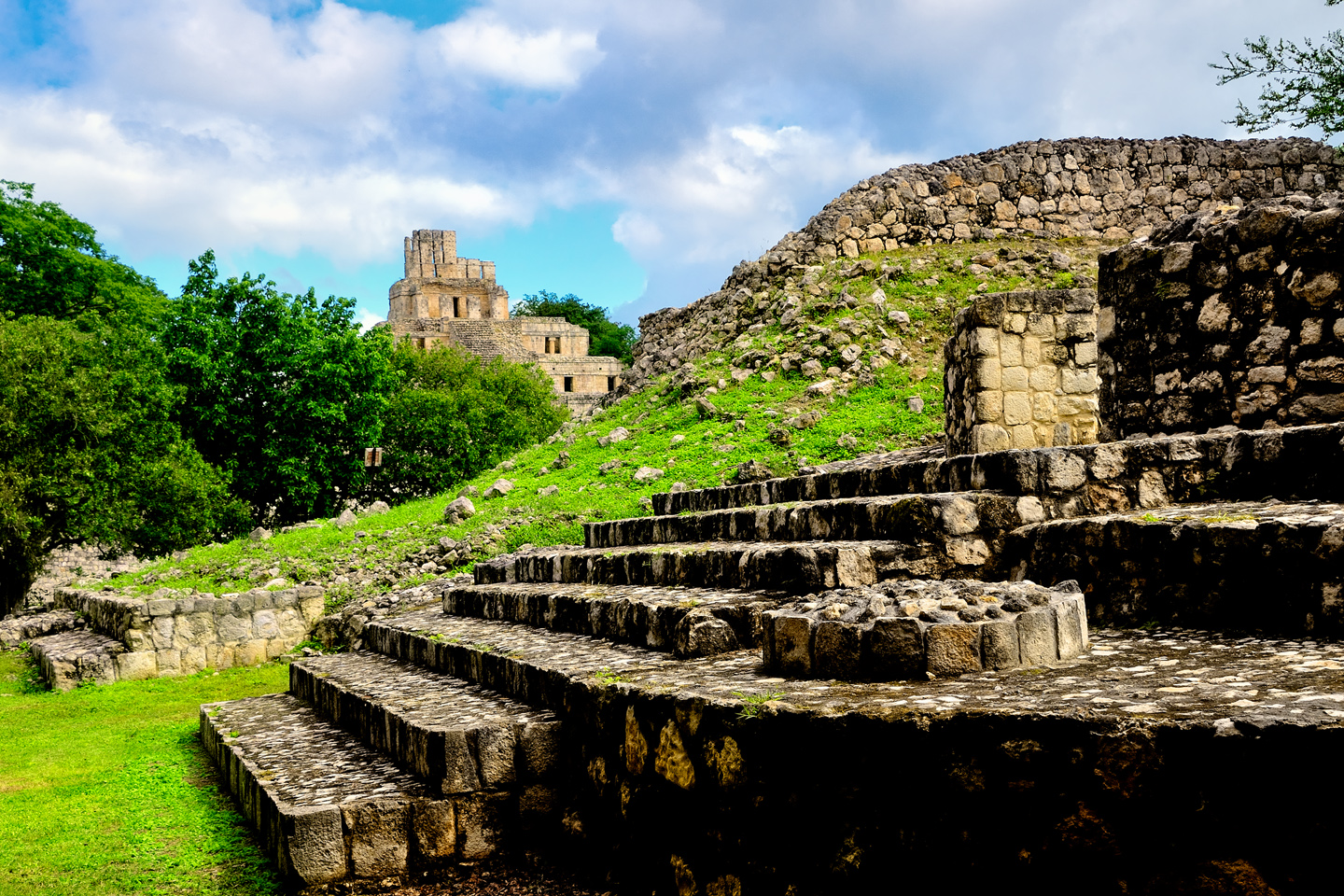
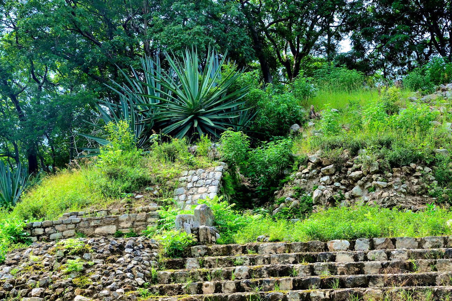
Several small pyramids built in a simpler style were obviously older.
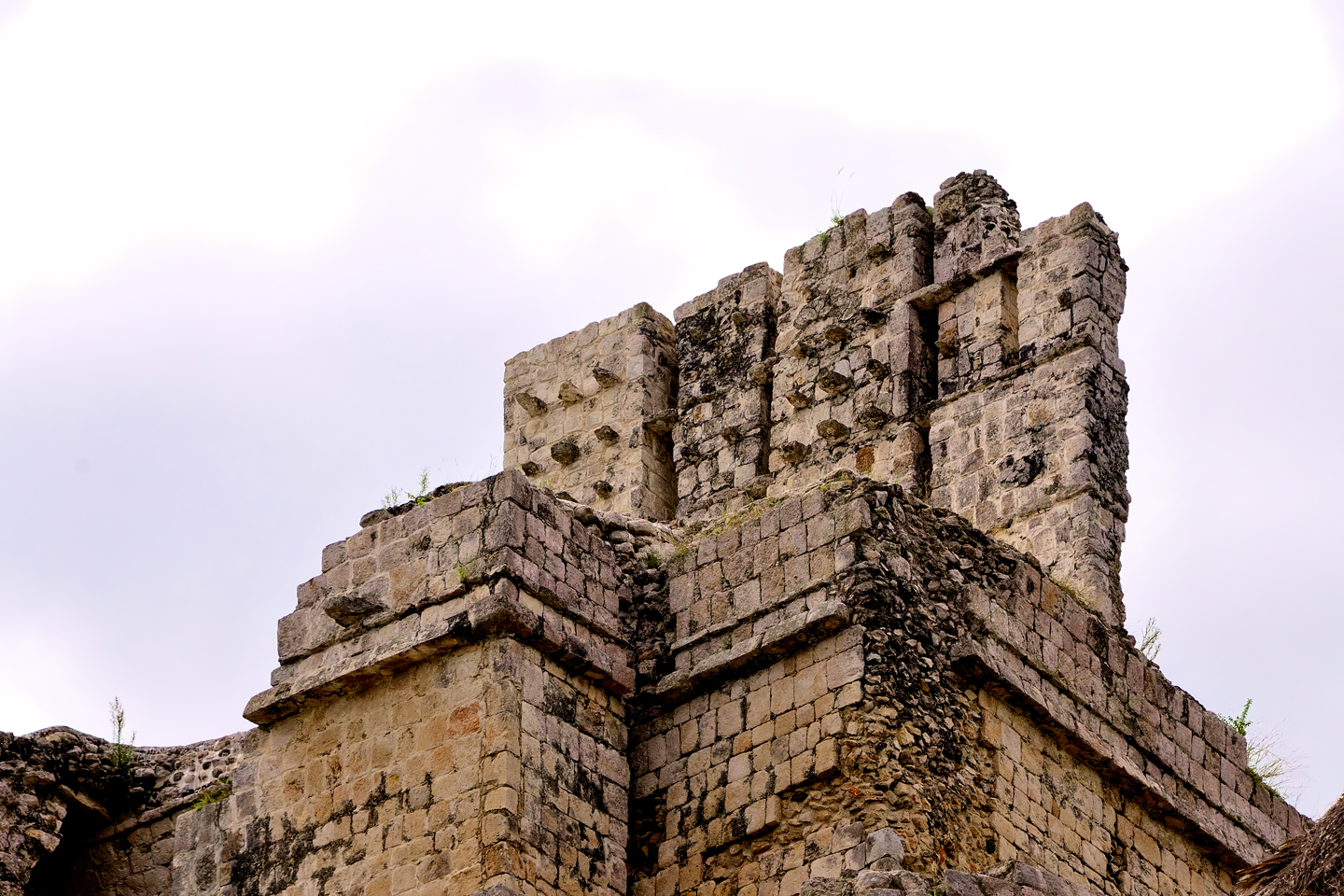
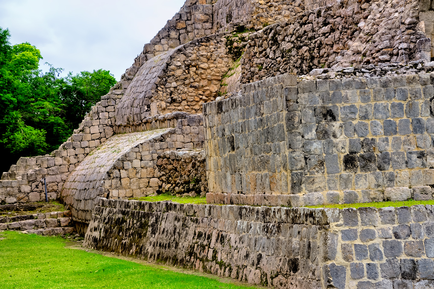
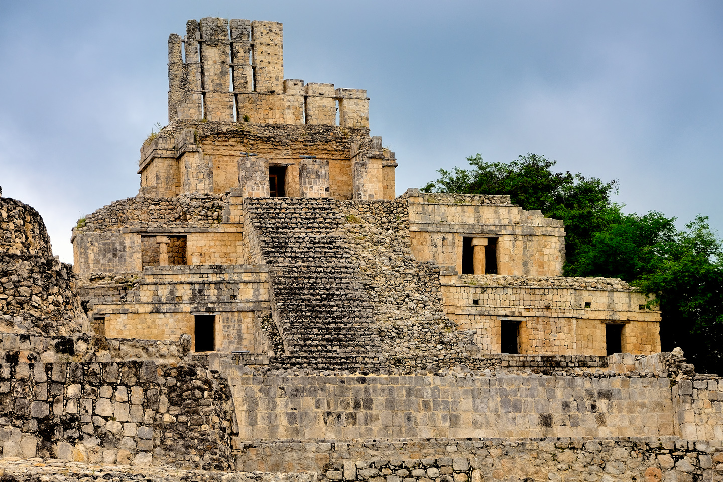
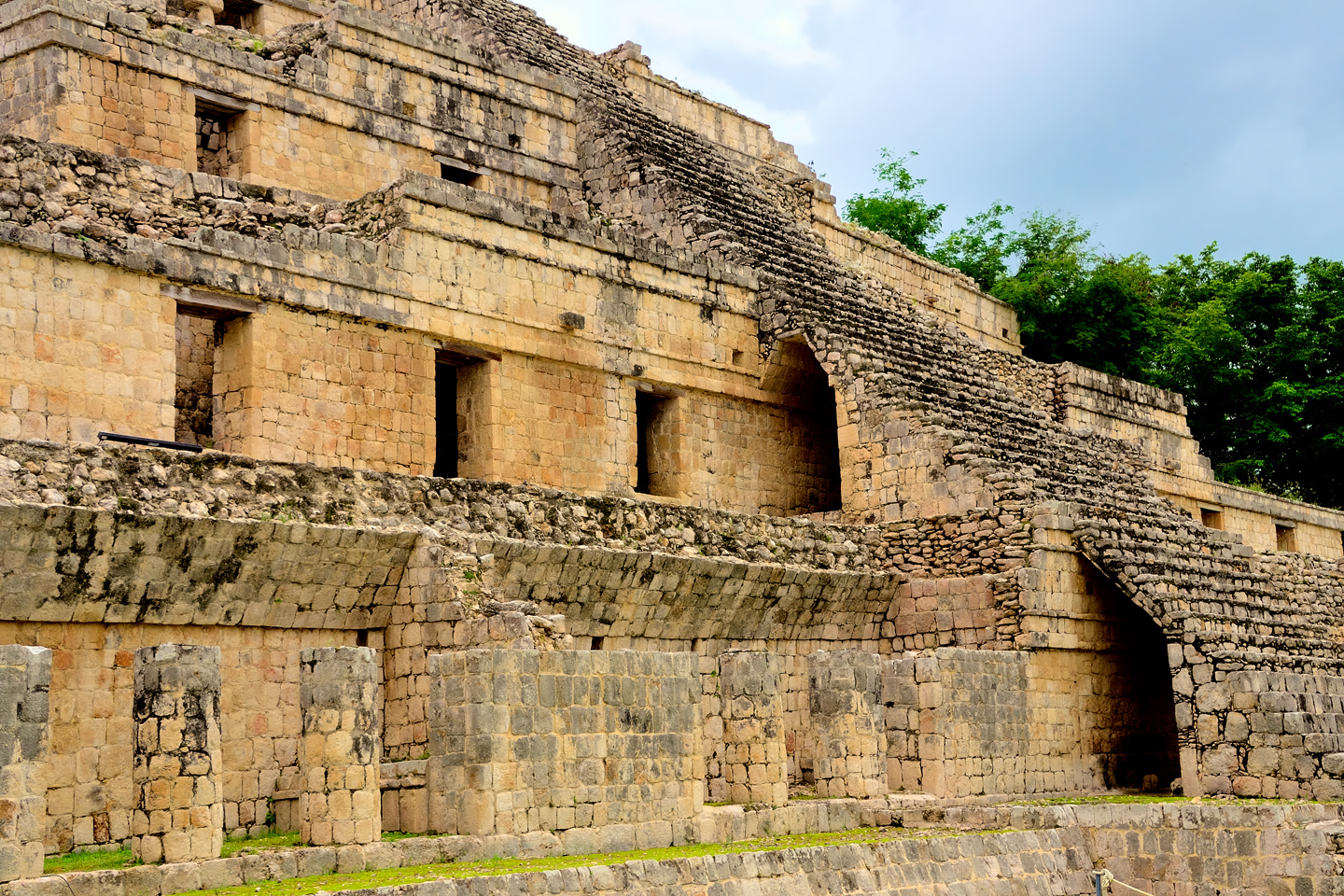
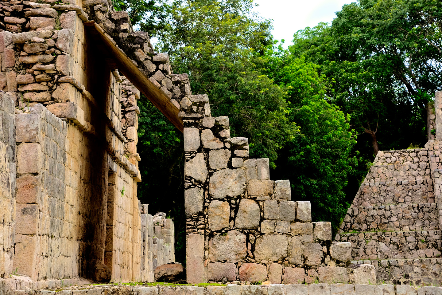
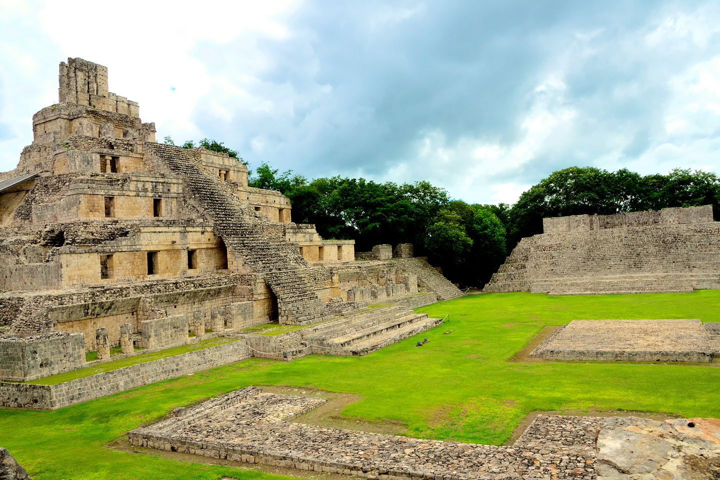
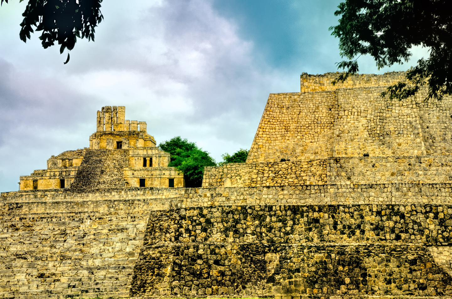
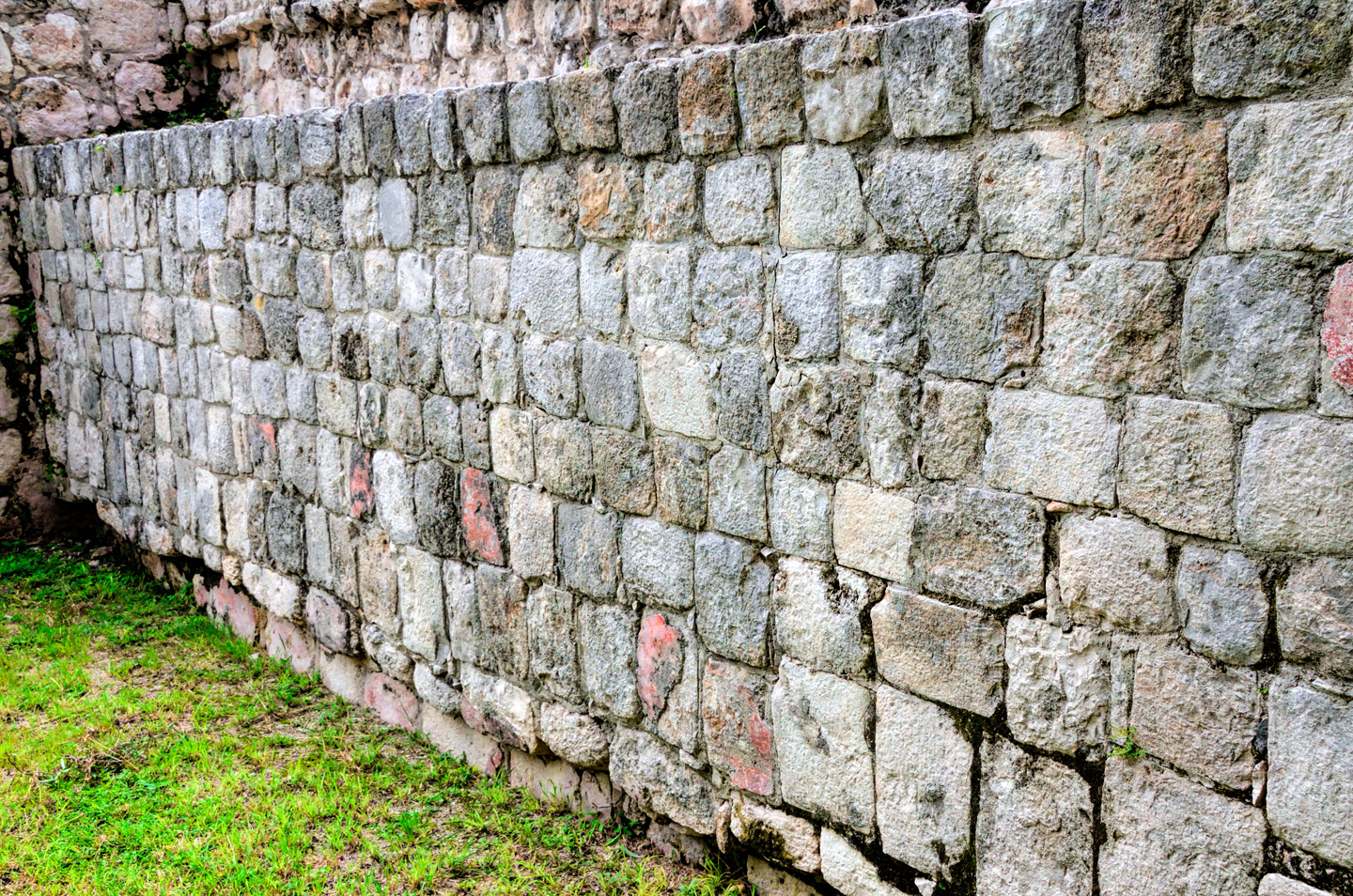
The real prize here was the acropolis, and Edzná’s signature pyramid, a unique structure known as the Palace of the Five Floors. We could see the top of it from a distance, but it wasn’t until we got closer that this extraordinary building fully revealed itself. There are five levels, as the name suggests, with a temple topped by a massive roof comb on the top step, and a wide staircase leading from the base all the way to the peak. The structures on the various levels all had Puuc style facades, smooth stone slabs cut square and fitted together like puzzle pieces over a concrete core. Doorways in the facade led to more than a dozen small rooms that may have been residential quarters for the city’s elite; or perhaps they were used by the priesthood, when conducting ceremonies and communing with the Mayan gods. Back in the day, the entire building would have been painted, with red being a dominant color, and the roof comb with its projecting tenons would have supported a massive molded plaster sculpture. We can only imagine how that might have looked; sadly, not a single trace of it remains. The back side of the building is buttressed by elegant, curved structures that may have been used as ramps, to facilitate the hauling of heavy loads to the upper floors. All in all, this Palace, or whatever it may have been, is impressive as the dickens!
The Palace of the Five Floors is unique, one of the most extraordinary buildings in the world of the ancient Maya.
CLICK MAPS AND PHOTOS TO EXPAND
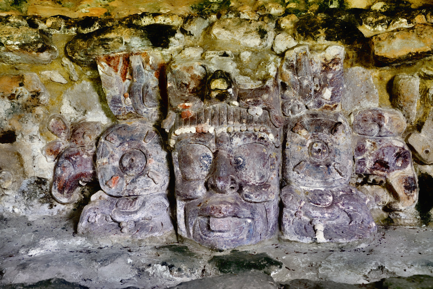
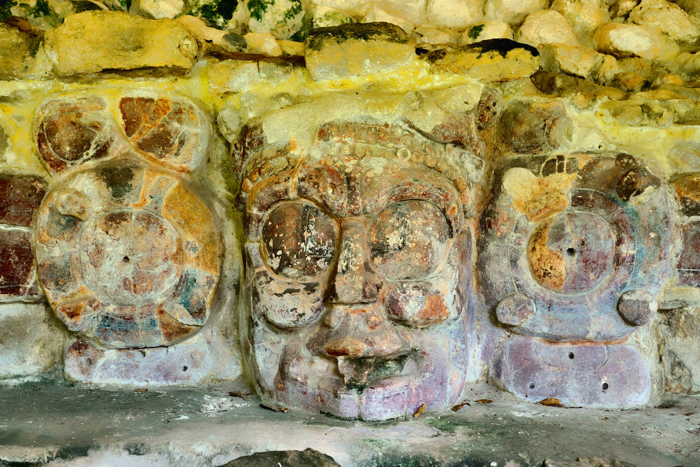
Temple of the Masks
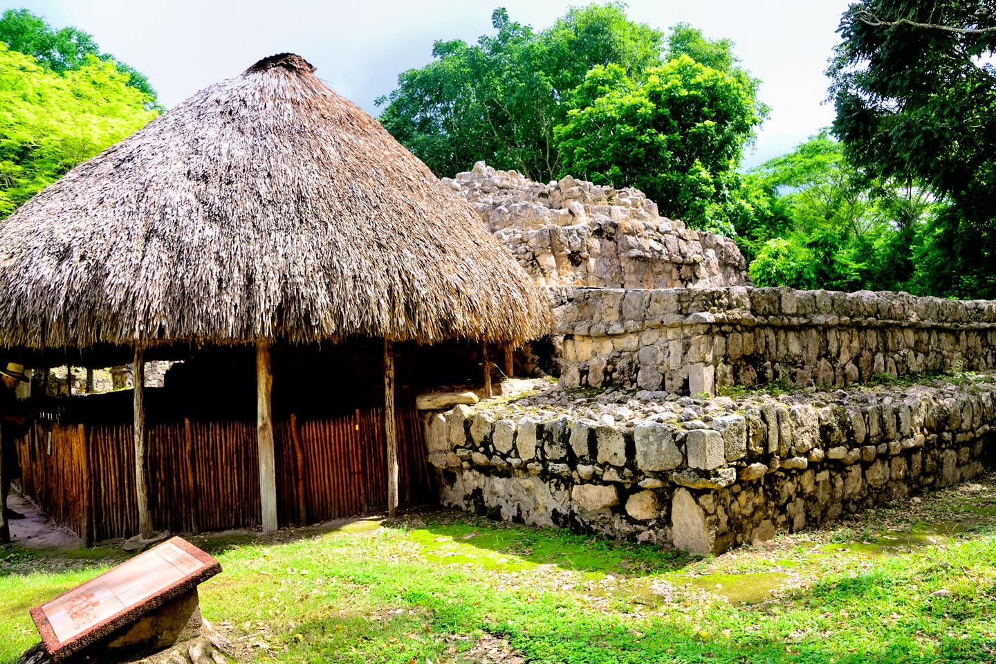
Off to the side of the acropolis was a temple, partially covered by a thatched palapa. The roof protects two large stucco masks that were discovered during excavations conducted in 1988. Molded and painted stucco was a common decorative element on Mayan buildings, but it’s extremely fragile, so very few examples have survived in good condition; these masks at Edzná are among the best that have ever been found. They represent the two faces of the Mayan sun god, one looking toward the sunrise, and the other toward the sunset.
All in all, Edzna was a pleasant surprise. Bigger than I expected, but quite manageable, and the state of preservation of the major structures ranks among the best I’ve seen. Taking it in, we could almost feel the presence of the ancient Maya. I tried to imagine what it would have been like when it was still in use, with all the sights, sounds, and smells of a living city teeming with people, with the kings and nobles in their palaces, and the priests in their temples. What a different world that must have been, and not so very long ago.
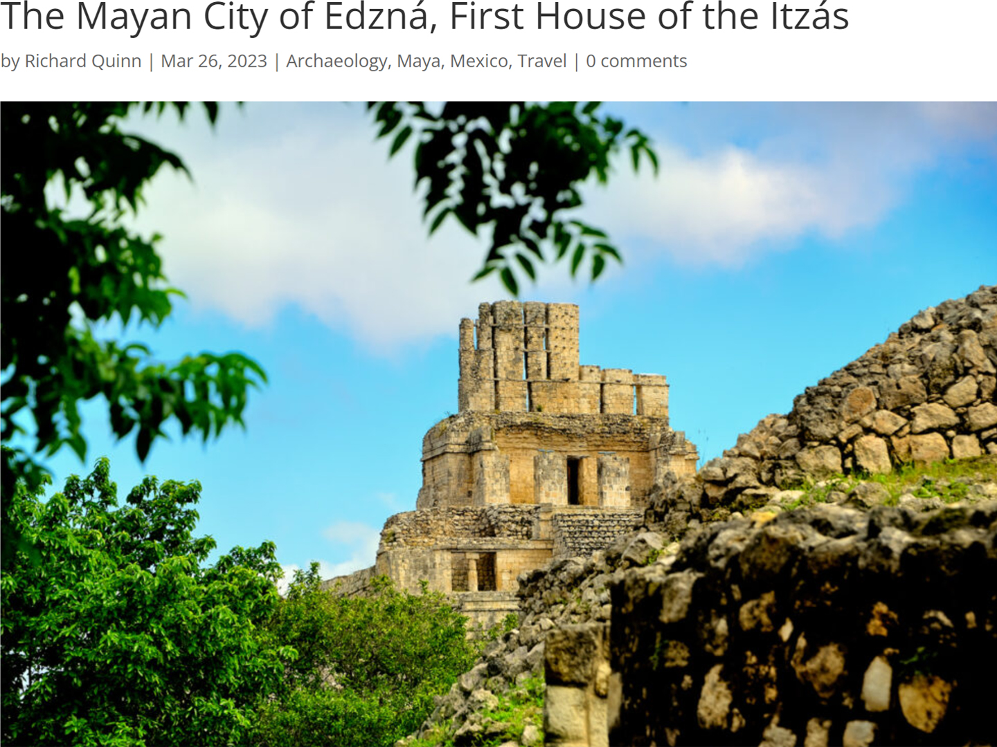
If I’ve piqued your interest about Edzná, and you’d like more information, you might be interested in reading my earlier post: The Mayan City of Edzná, First House of the Itzás. There’s more of everything, especially the history of the site, and there are many additional photos.
Onward, to CAMPECHE!
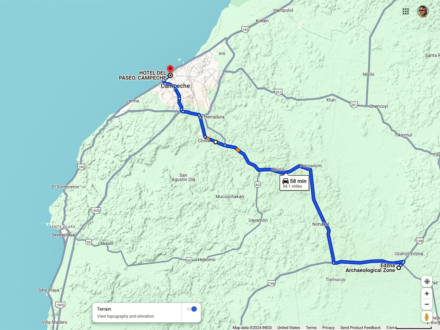
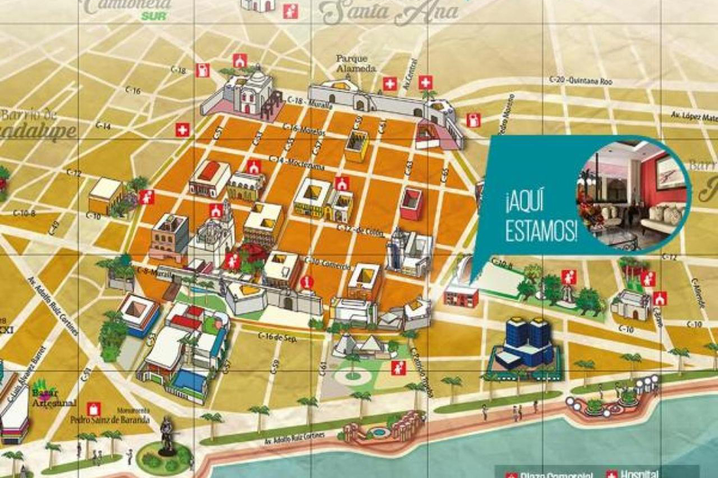
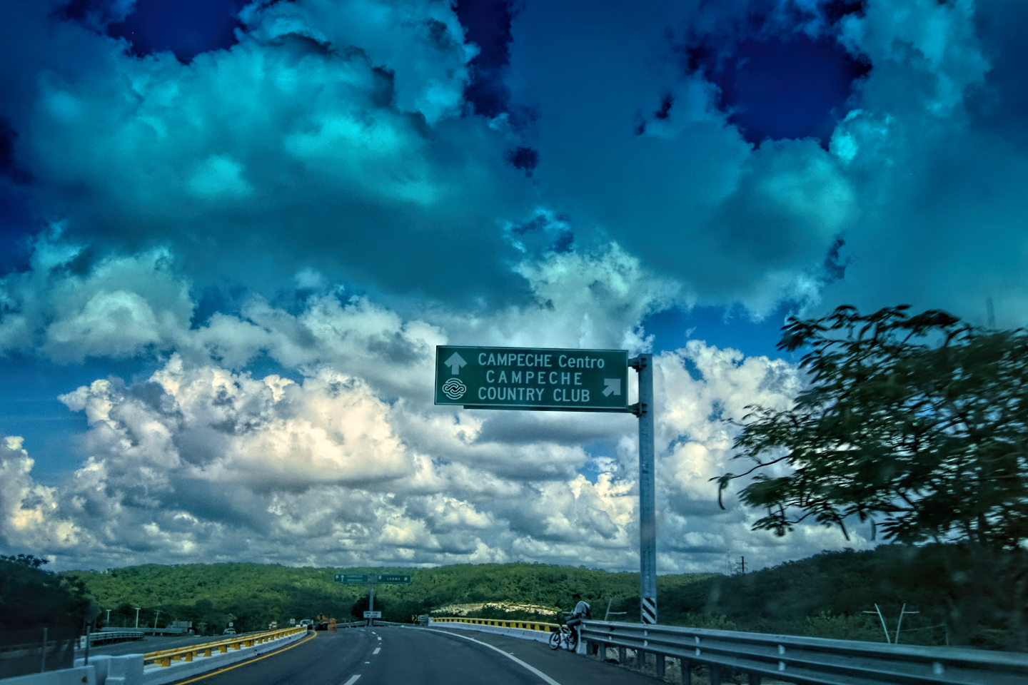
We left the Archaeological Park at about 2:30, pretty well beat after four hours spent walking around the ruins. Campeche was only an hour away, and I’d booked us a hotel through Expedia.Mx, the Mexican version of Expedia, which was proving to be surprisingly useful, giving us some excellent recommendations. In this case, we’d made a reservation at the Hotel del Paseo, located right at the edge of the historic city center, and easy walking distance from the plaza. Turned out to be a great choice: the rooms were modern, clean, and quiet, and at the time of our visit (October of 2015), a double was less than $50 per night. Today, in 2024, they’ve gone up a bit–closer to $100–but, considering the great location, that’s still quite reasonable.
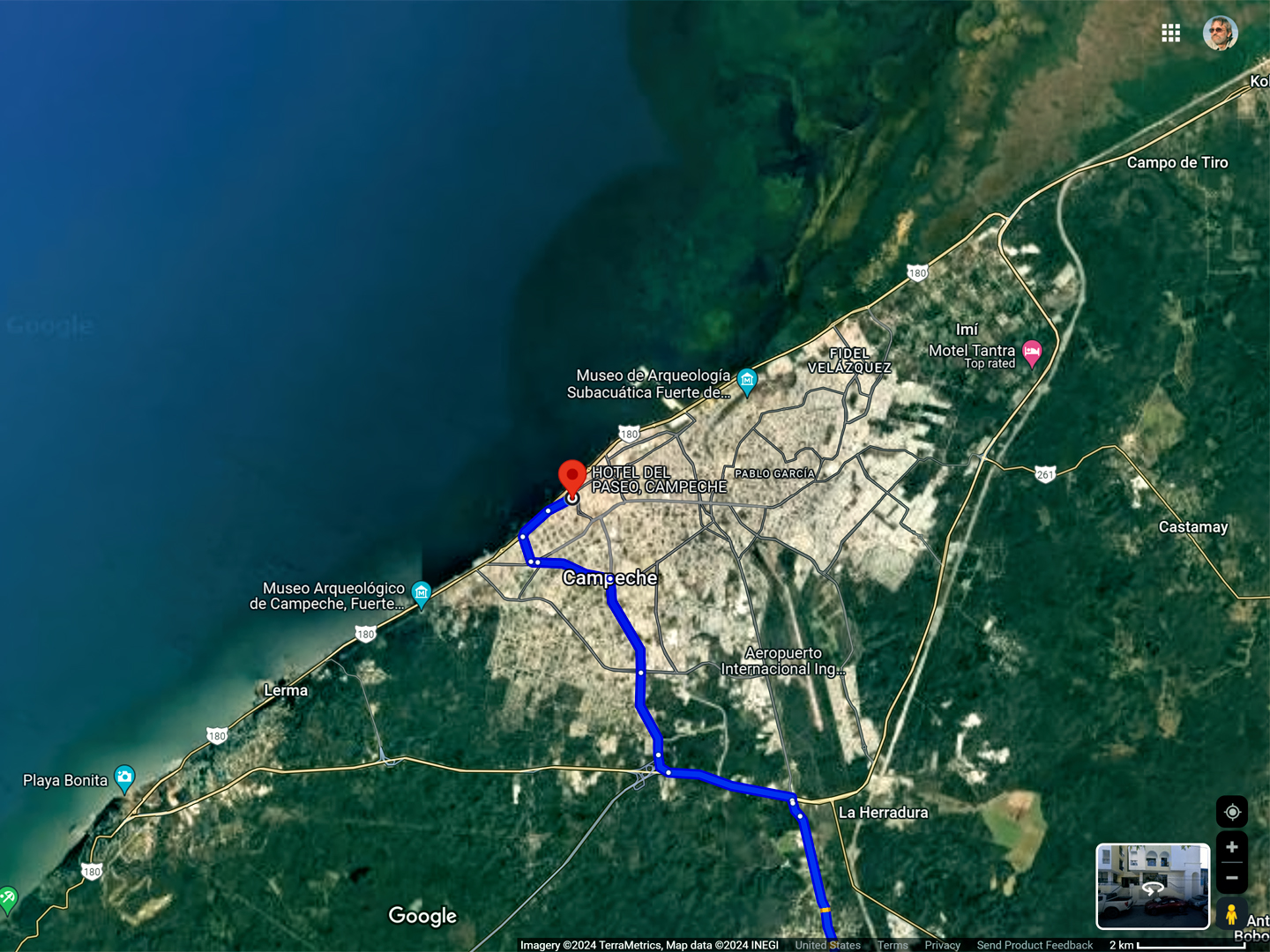
The Route from Edzná to Downtown Campeche
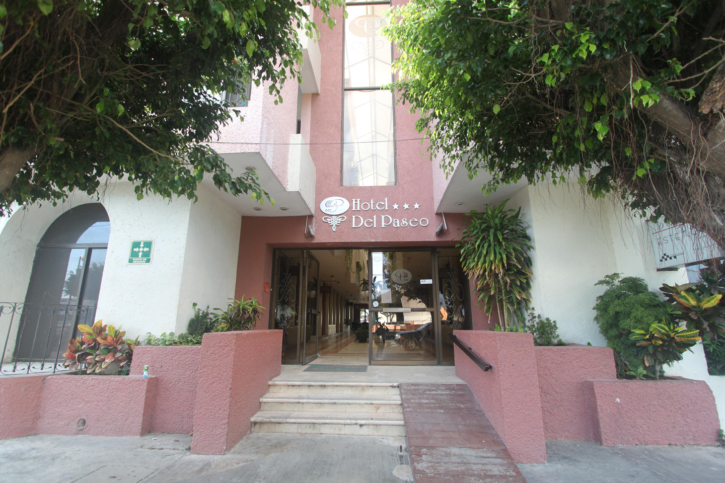
Hotel del Paseo in Campeche, a quite decent place to stay, at the edge of the historic district, and a short walk from the main Plaza
Campeche, founded in 1540 is one of the oldest Colonial cities in the Americas. In its day, it was one of the most important ports on the Gulf of Mexico, the place where the treasure galleons took on their cargo of riches from the interior before sailing home to Spain. There were stockpiles of gold and silver that made the port a favorite target for pirates, so fortifications were built around the old city center. Many of the old walls are still standing, and sufficiently well preserved that the “Historic Fortified Town of Campeche” was declared a UNESCO World Heritage site in 1999. The restoration and renovation of the area is an ongoing project, and a source of considerable civic pride.
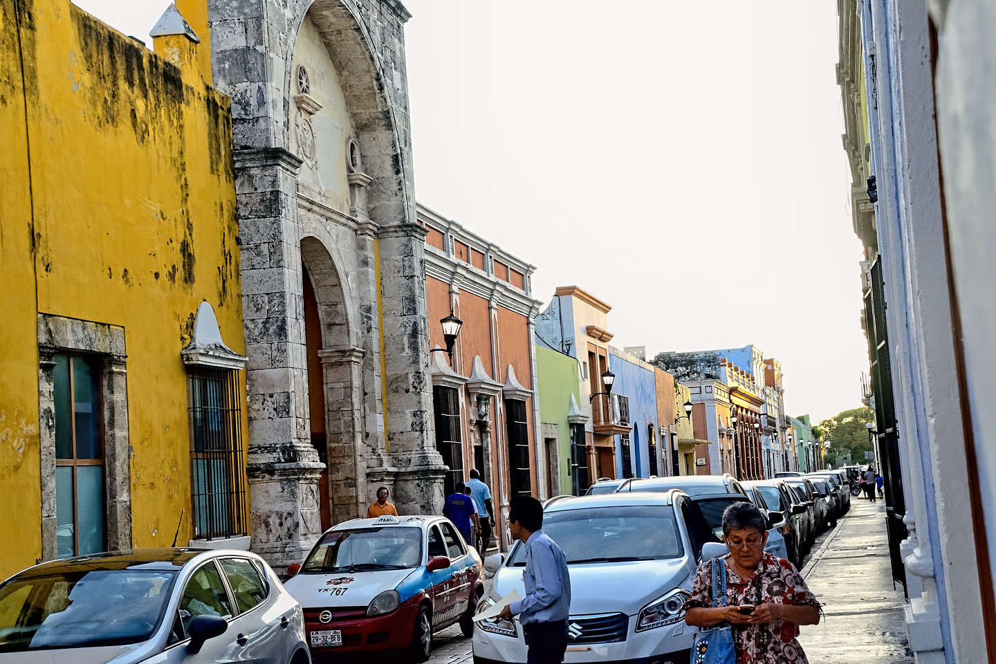
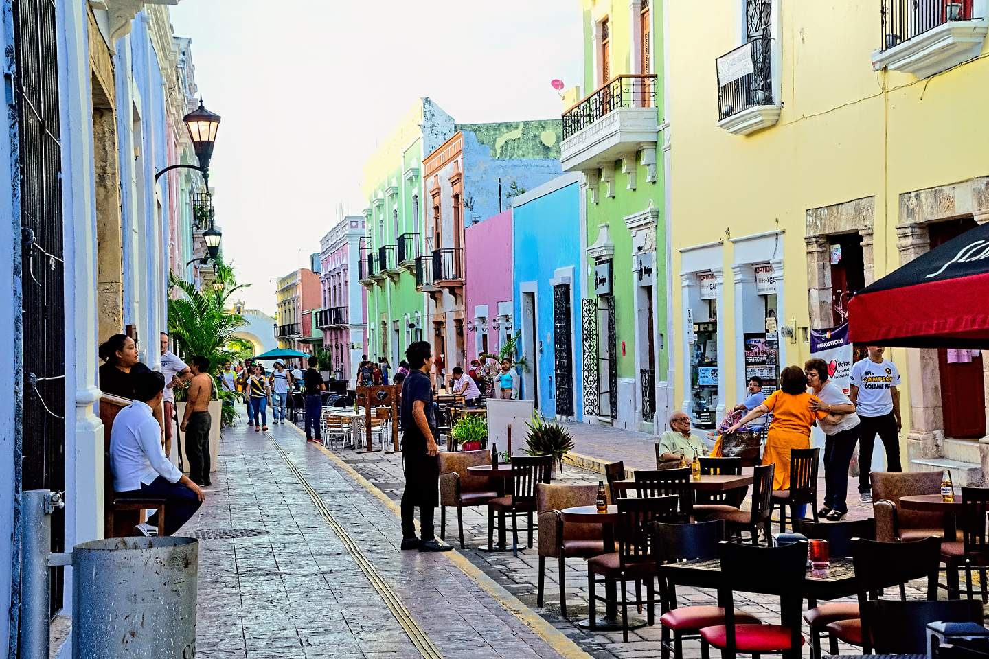
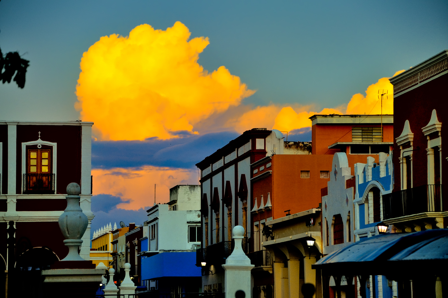
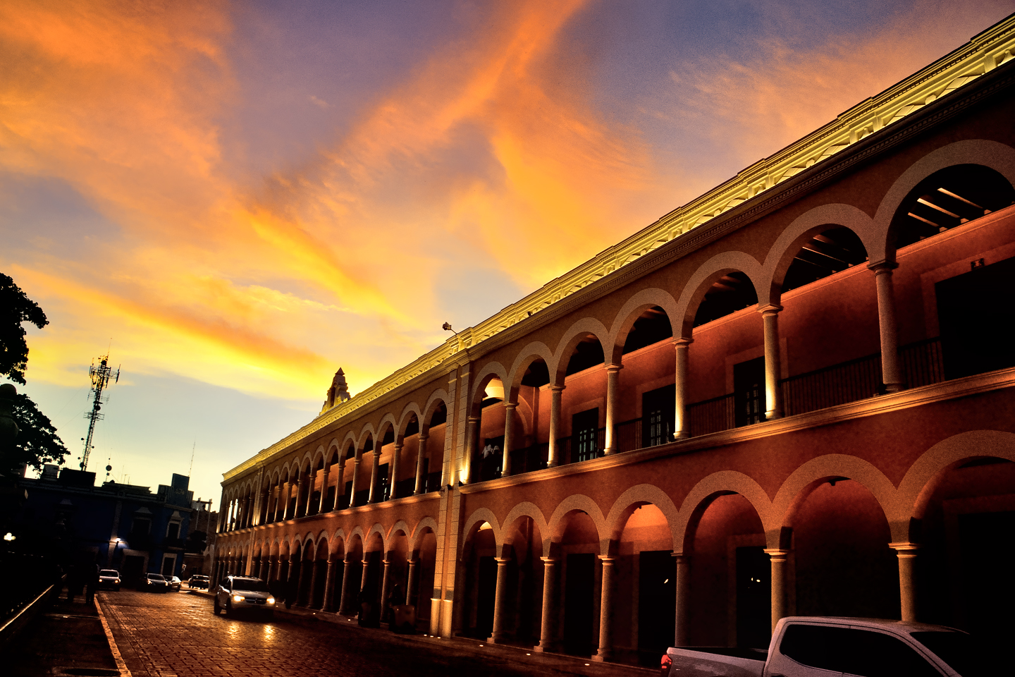
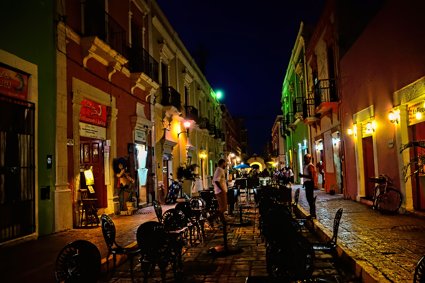
Campeche: Street Scenes
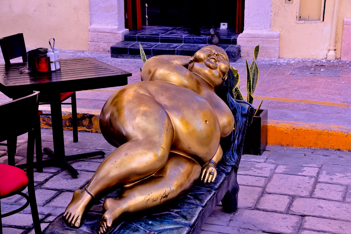
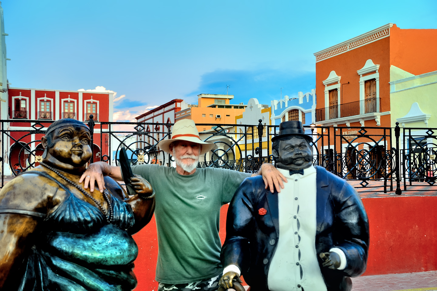
In one area, they’ve blocked automobile traffic so that the restaurants can place tables (and sculptures) in the street.
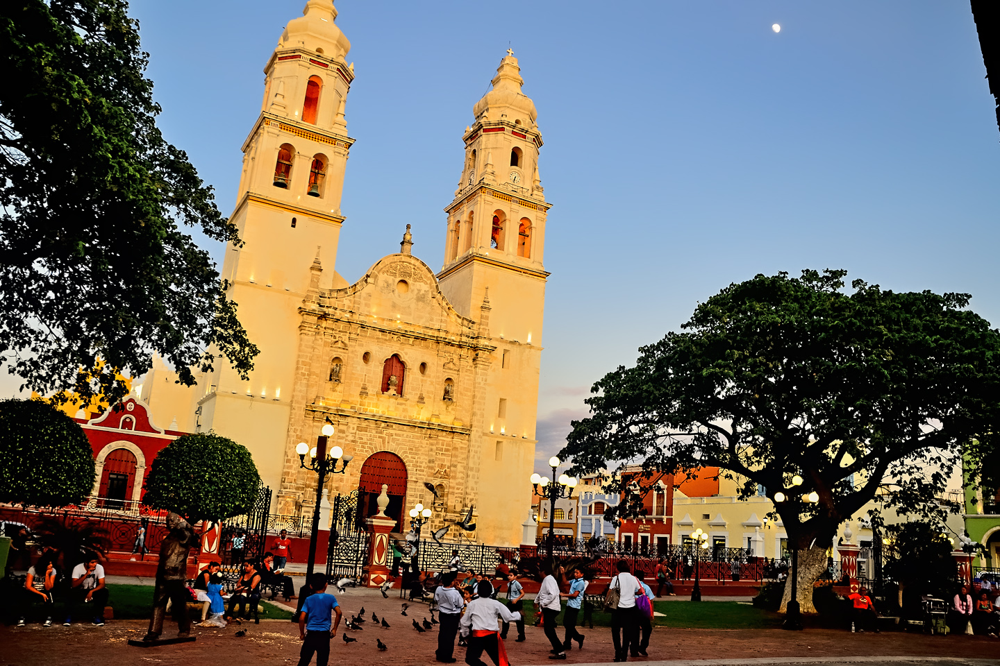
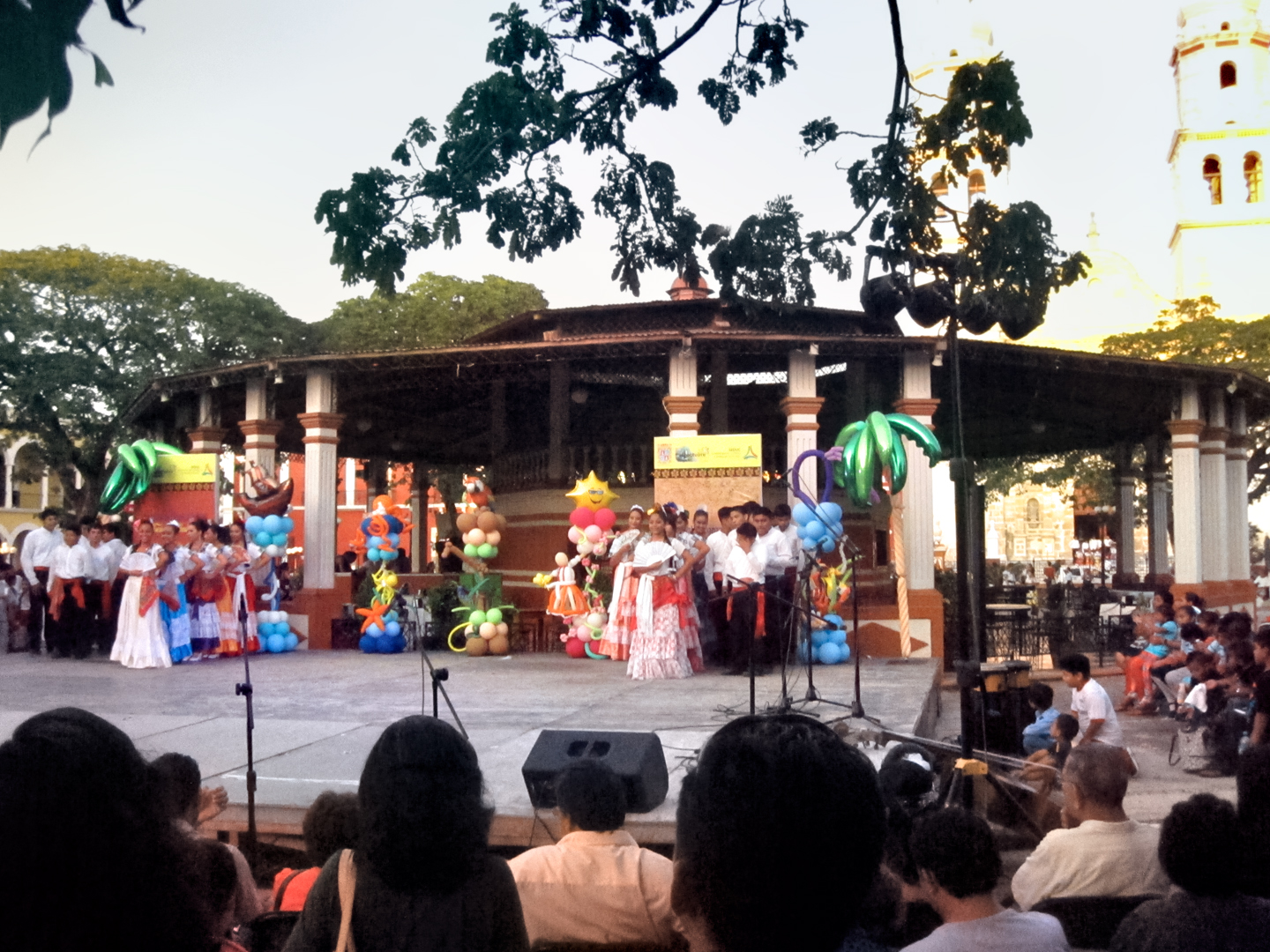
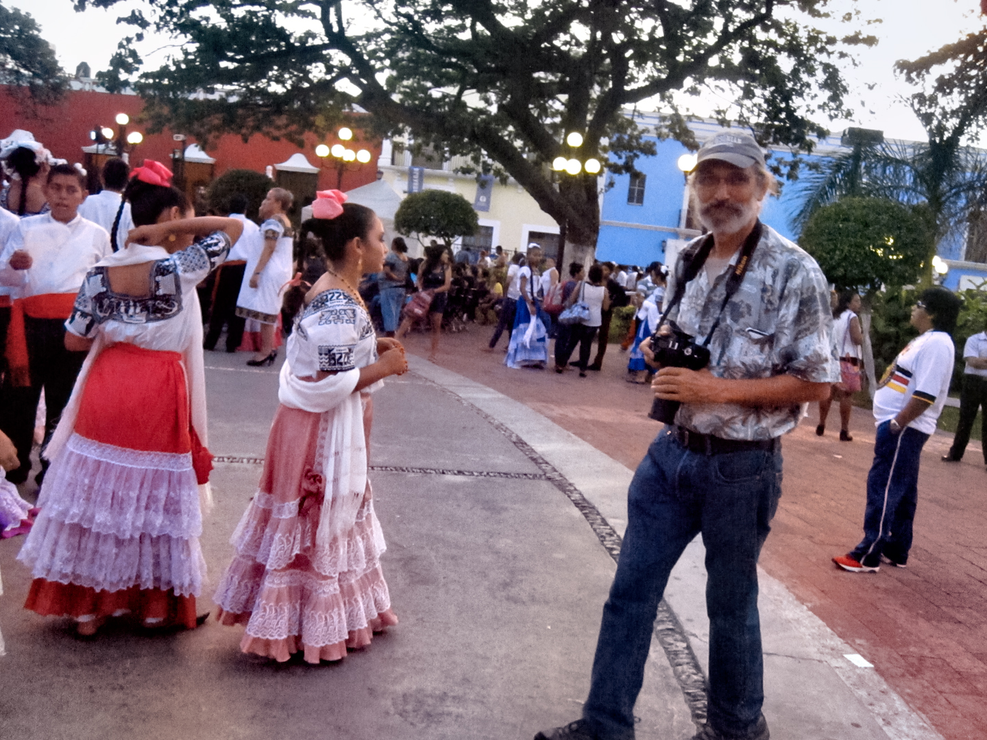
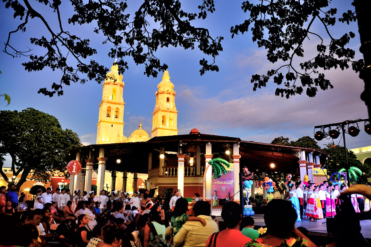
House fronts and store fronts along the cobblestone streets of old town are painted in bright colors, giving the place a decidedly tropical feel. Many years ago, I lived for a time in Cartagena, a fortified Colonial city on the coast of Colombia. The many similarities took me right back to those days of my youth, and a powerful sense of nostalgia. Mike and I were strolling around the plaza, taking photos of the cathedral and the surrounding side streets, when we ran into a crowd of beautiful girls, all in traditional dress, assembled in front of a stage that was festooned with balloons.
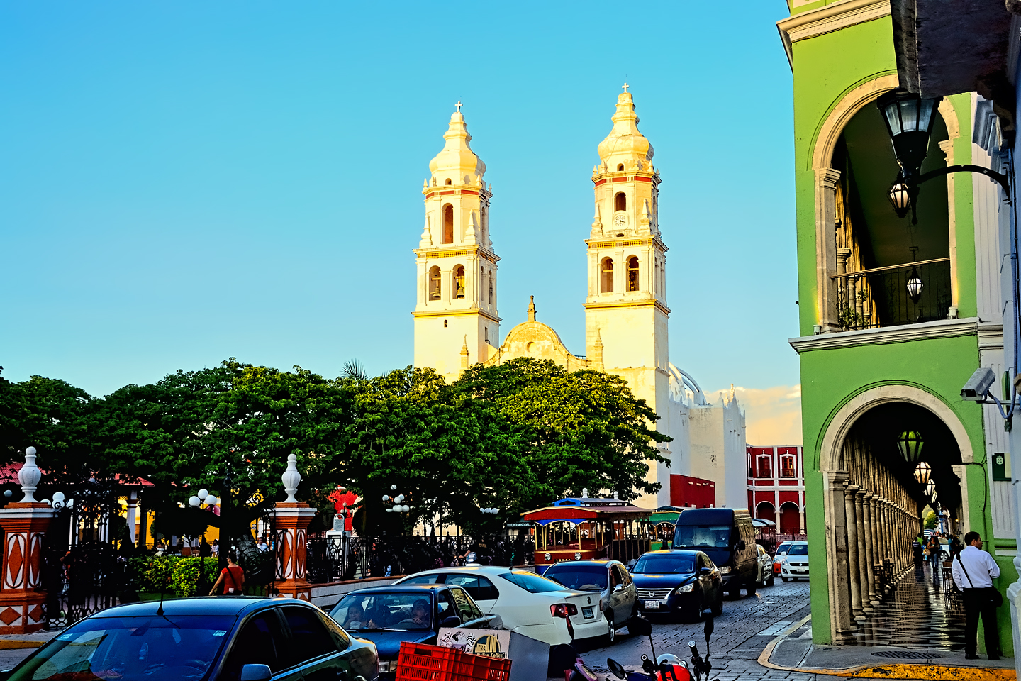
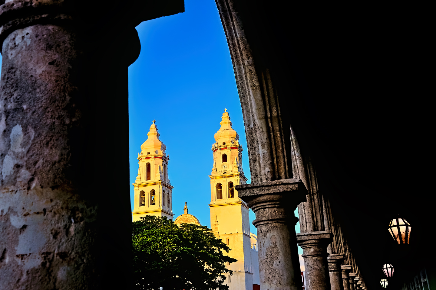
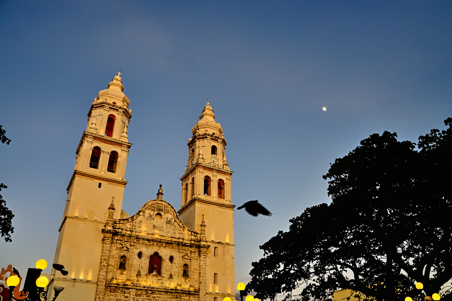
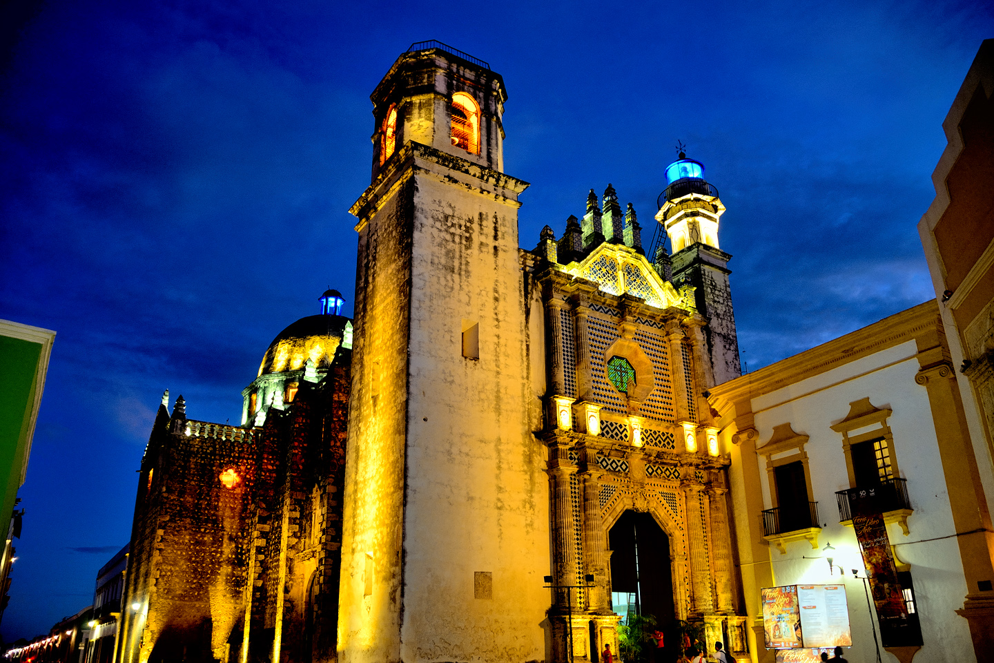
Several views of Campeche’s main cathedral and central plaza
In Campeche, they Dance La Guaranducha
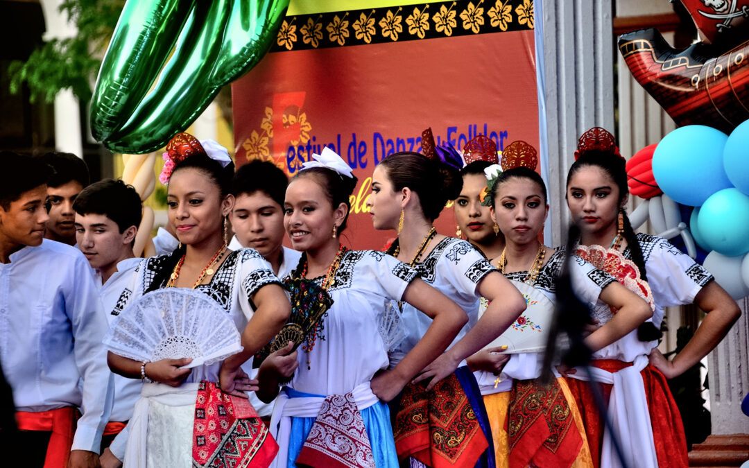
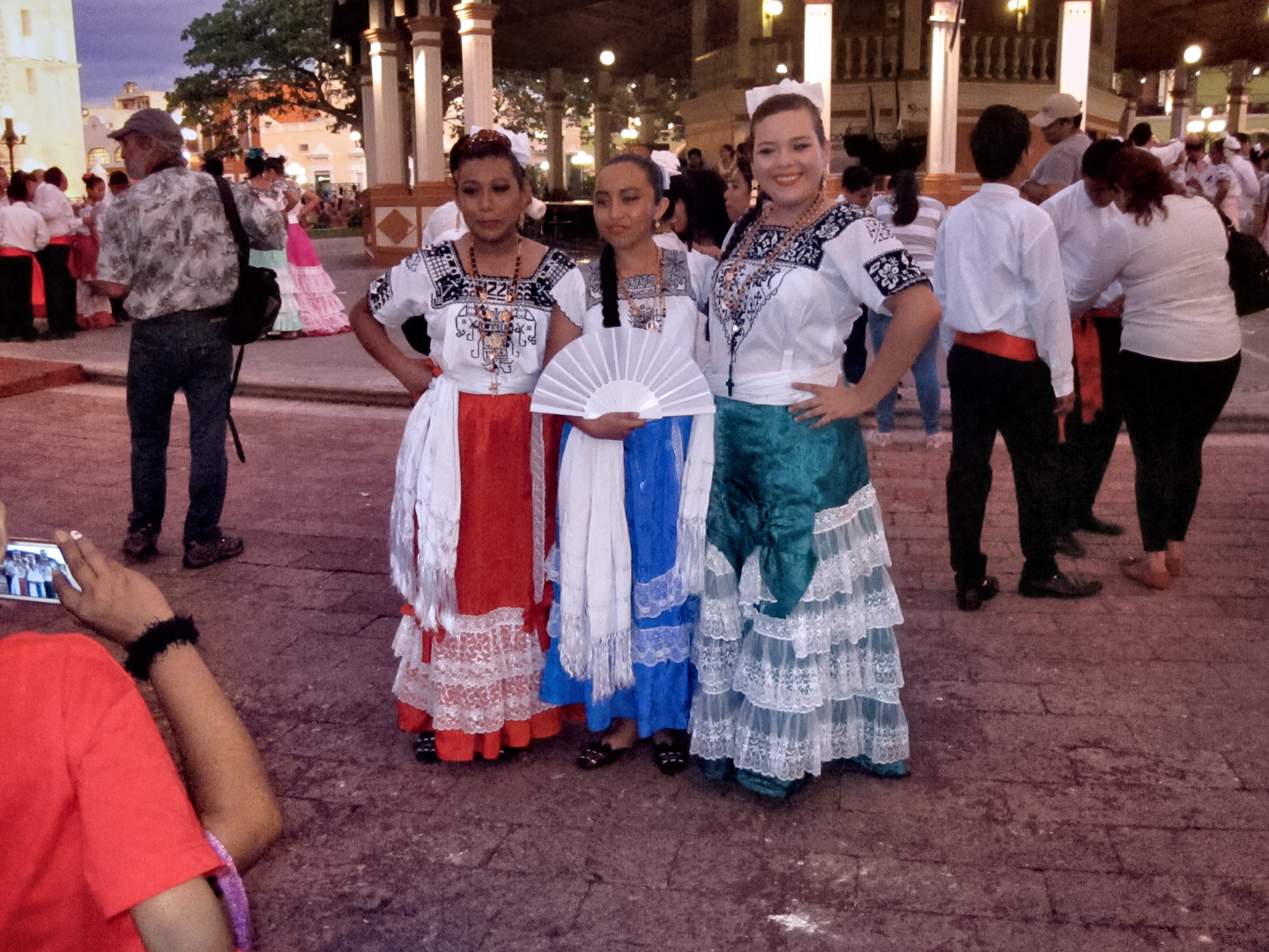
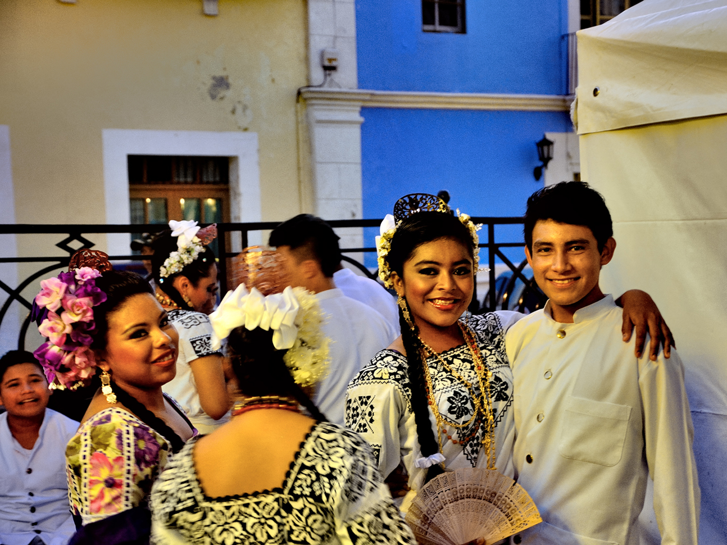
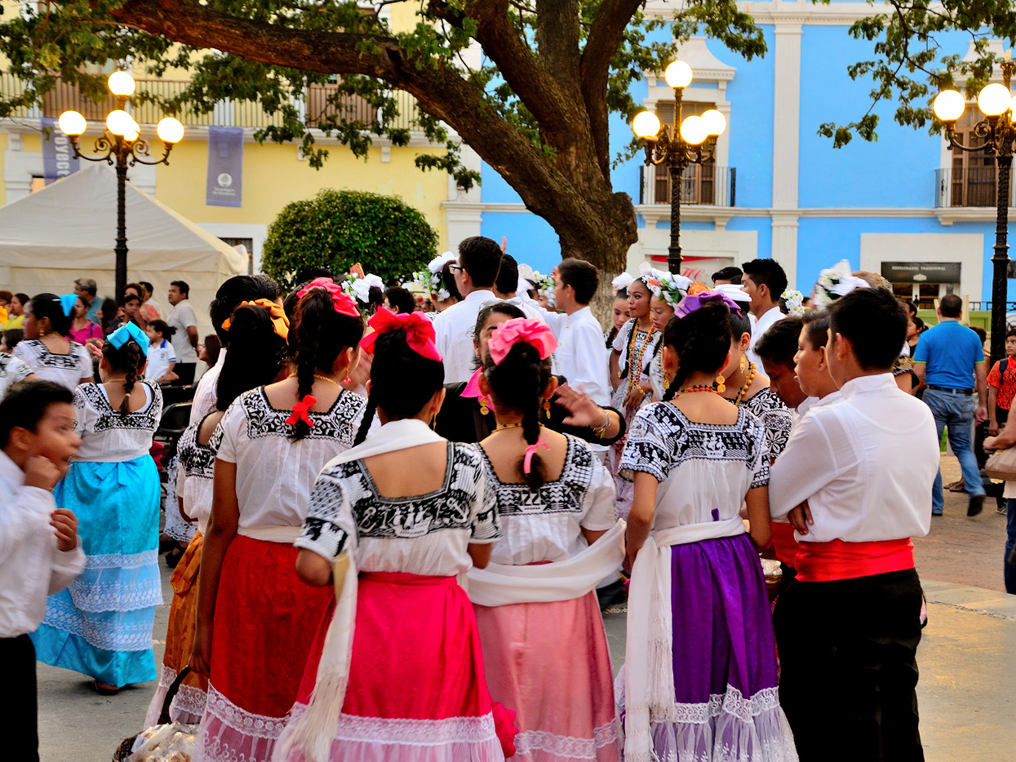
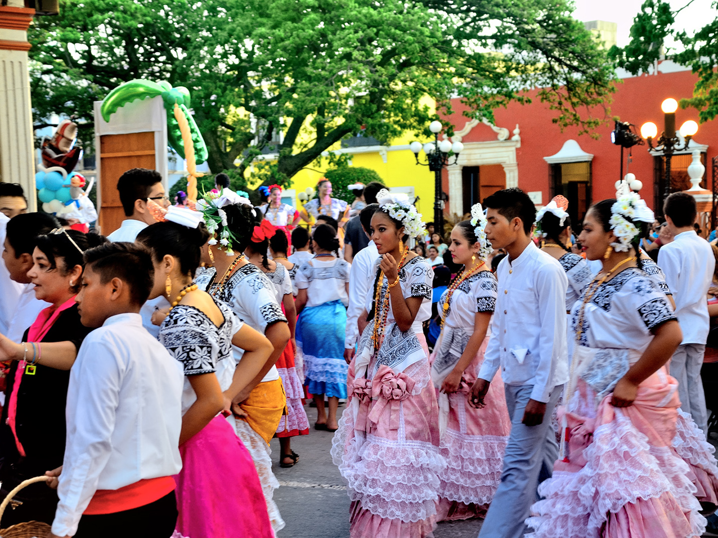
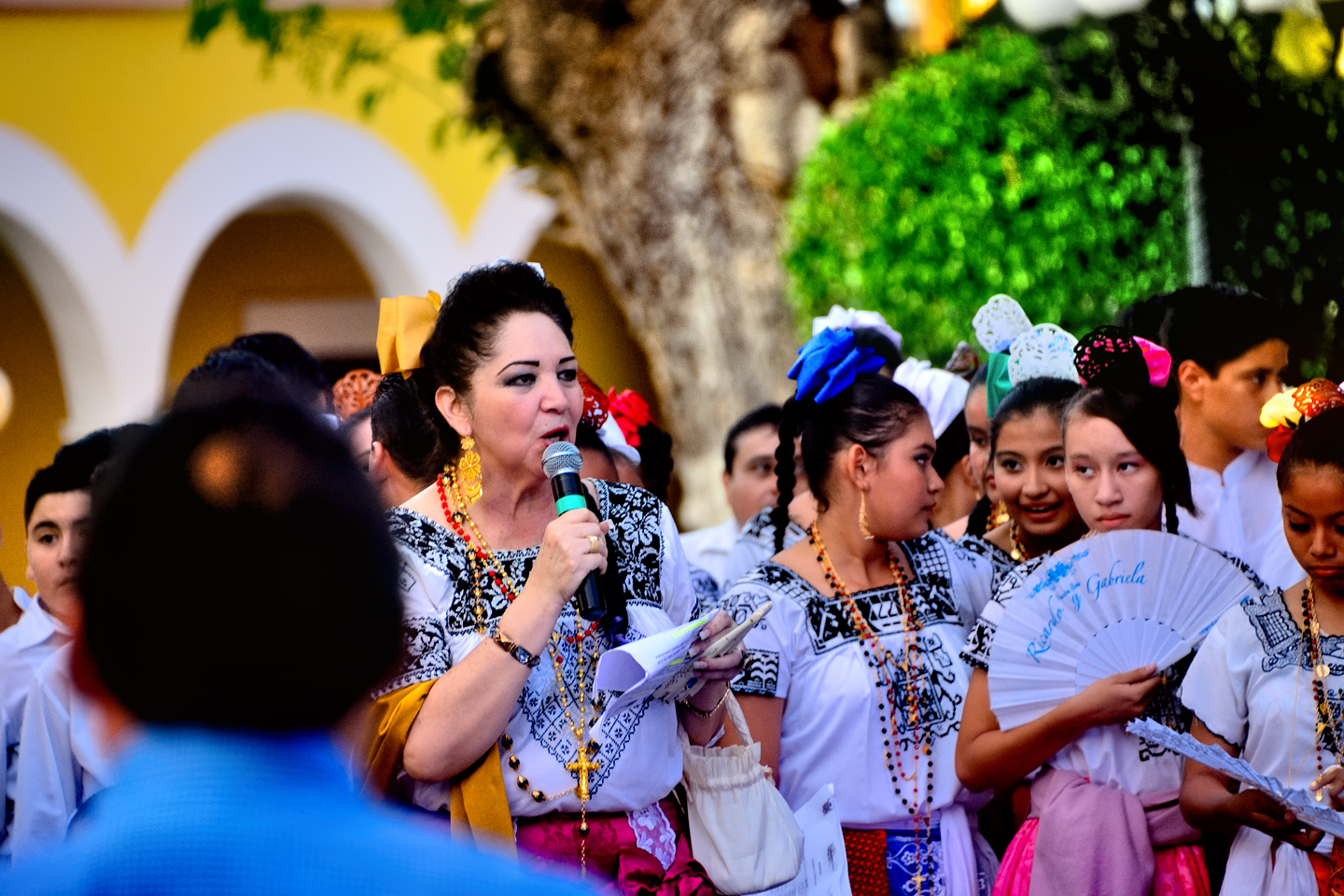
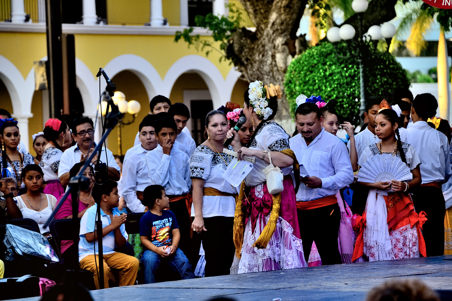
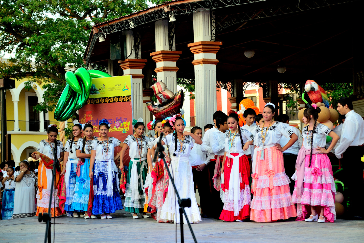
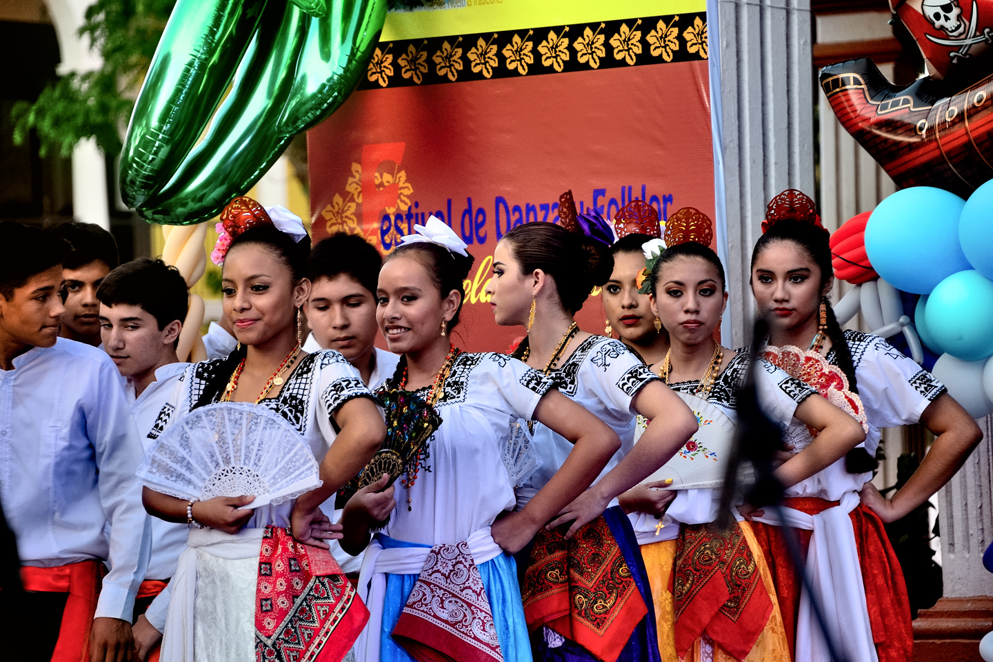
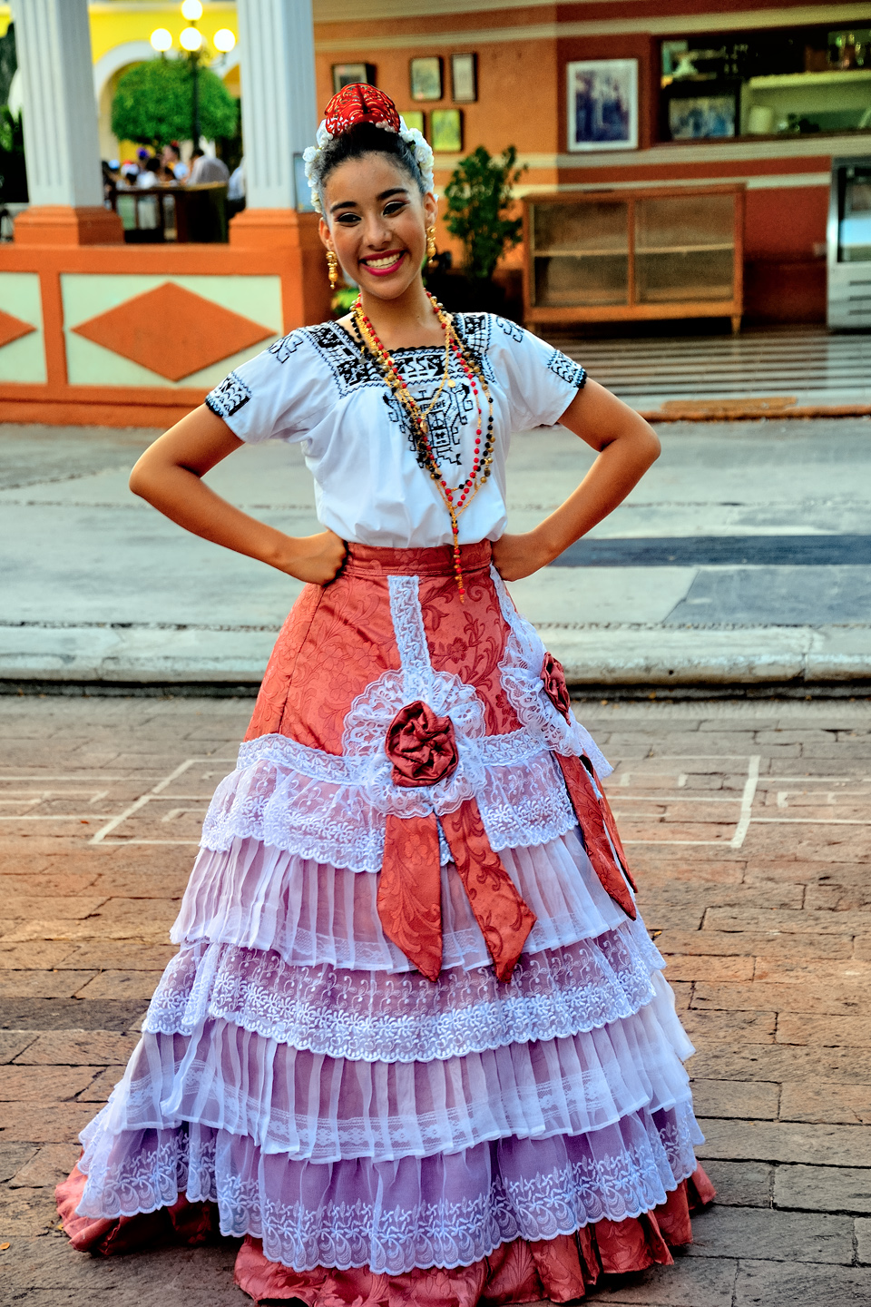
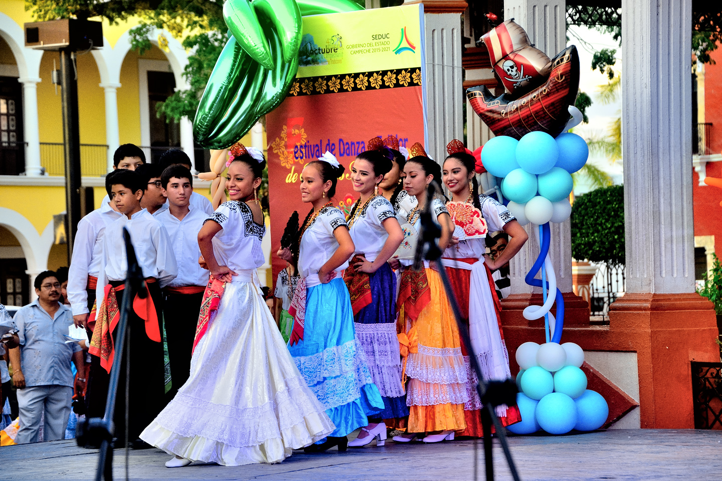
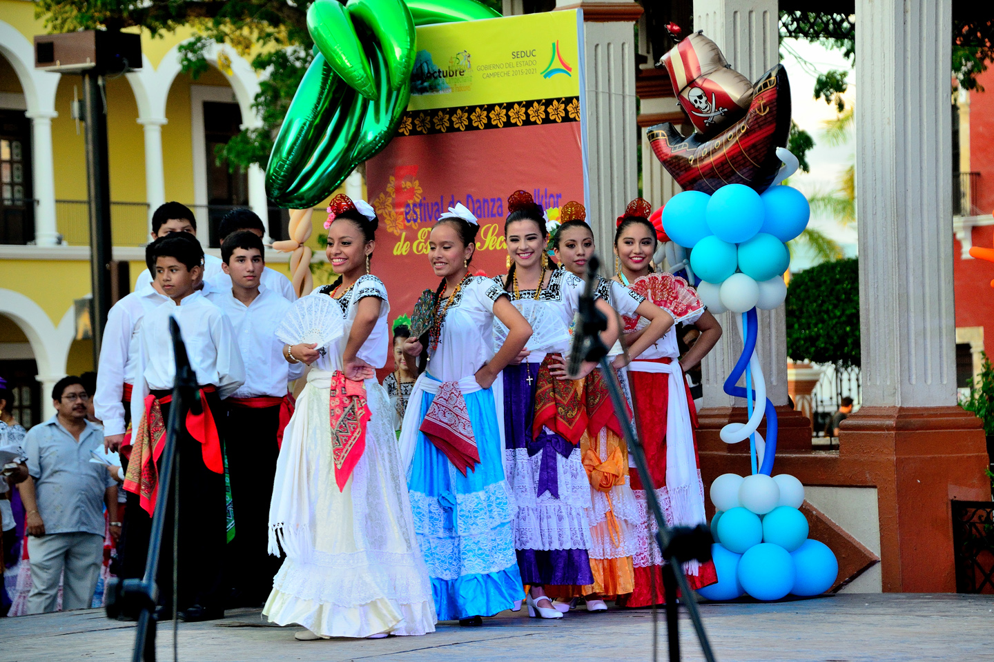
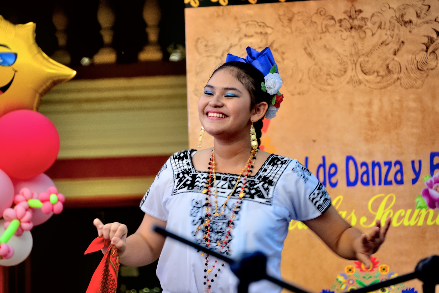
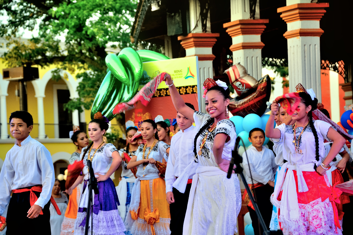
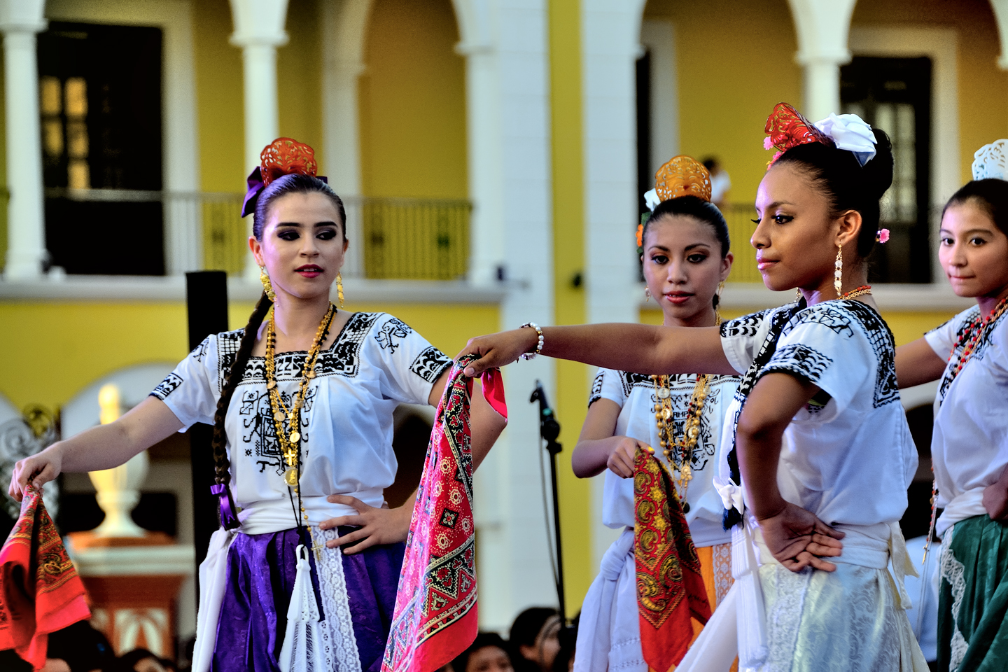
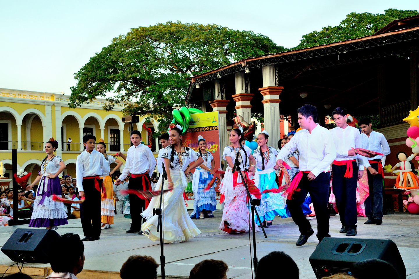
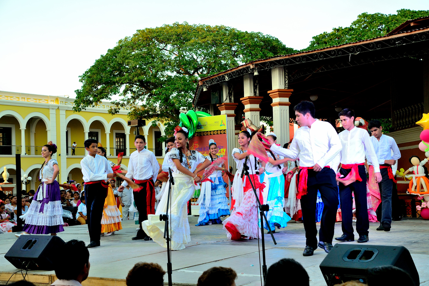
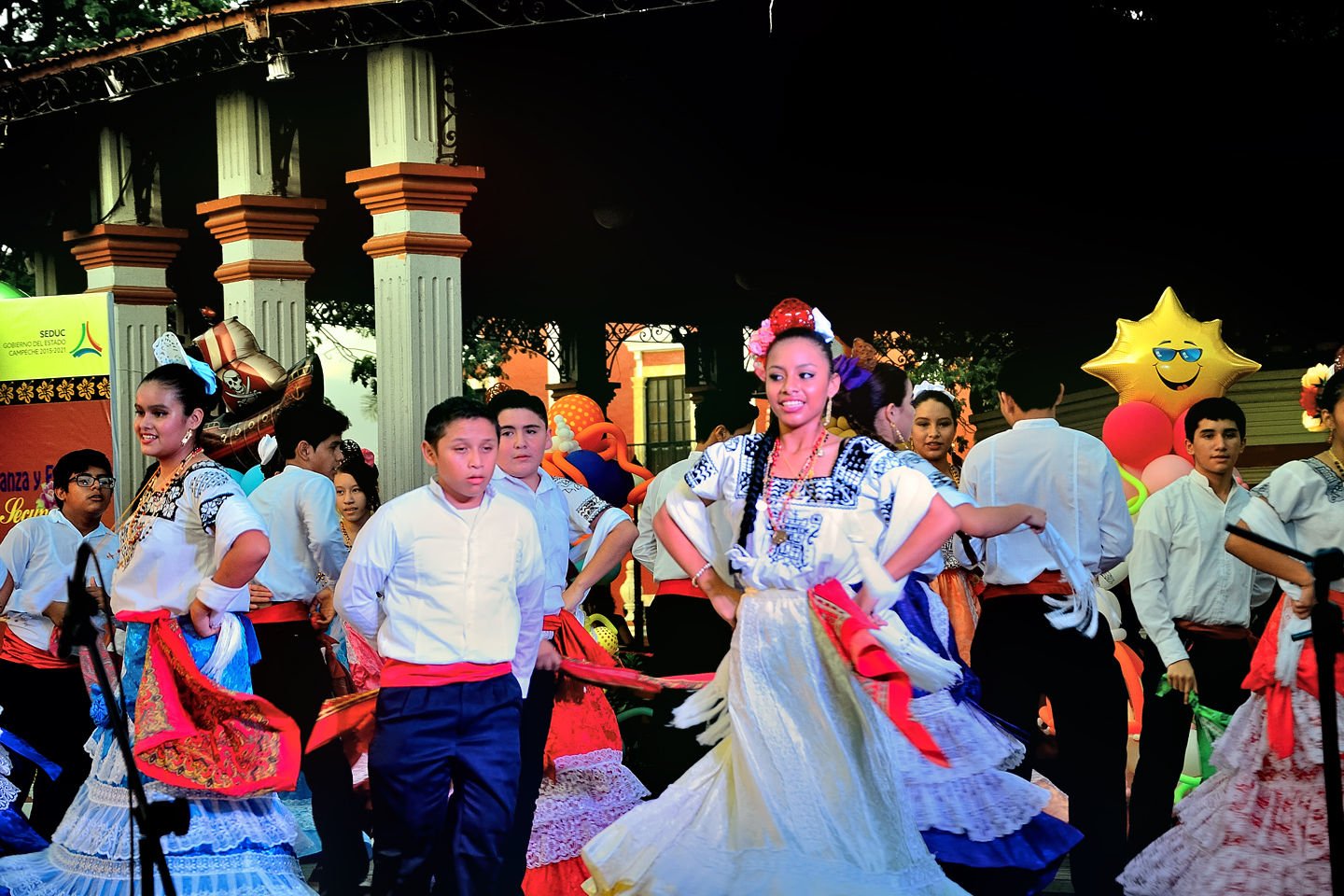
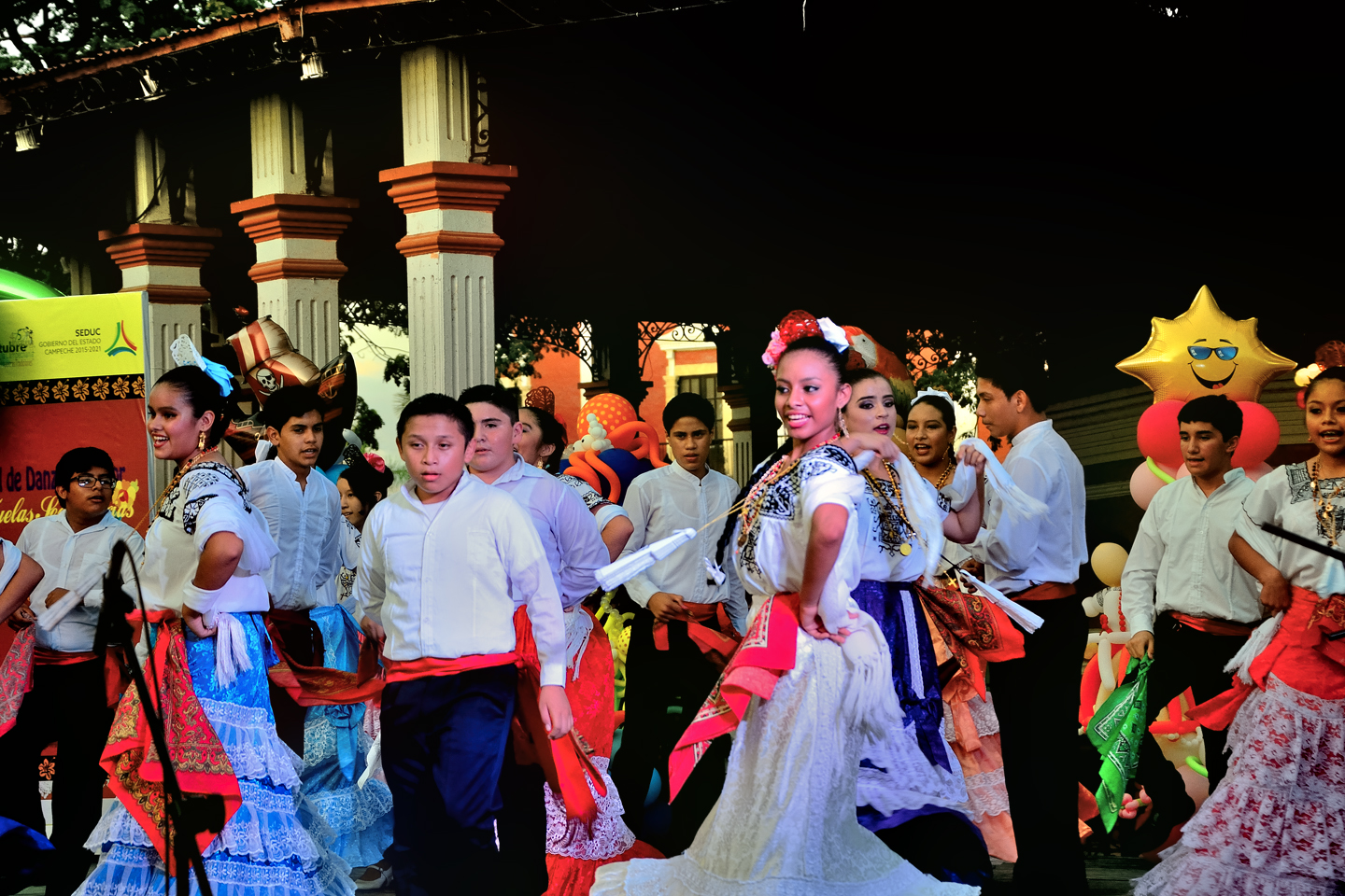
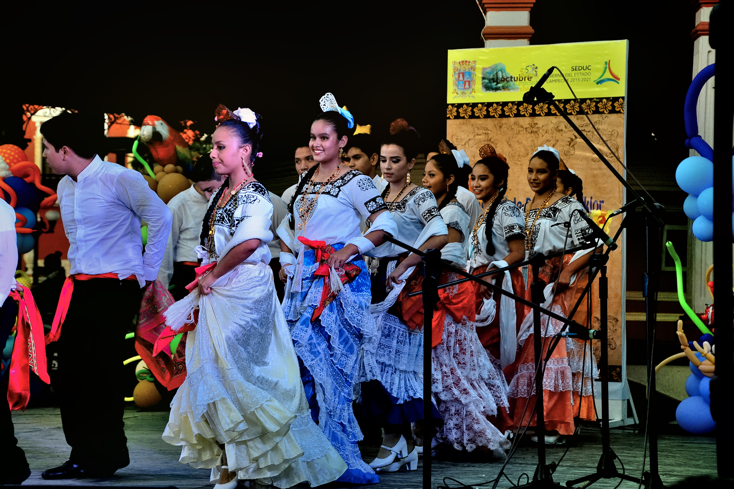
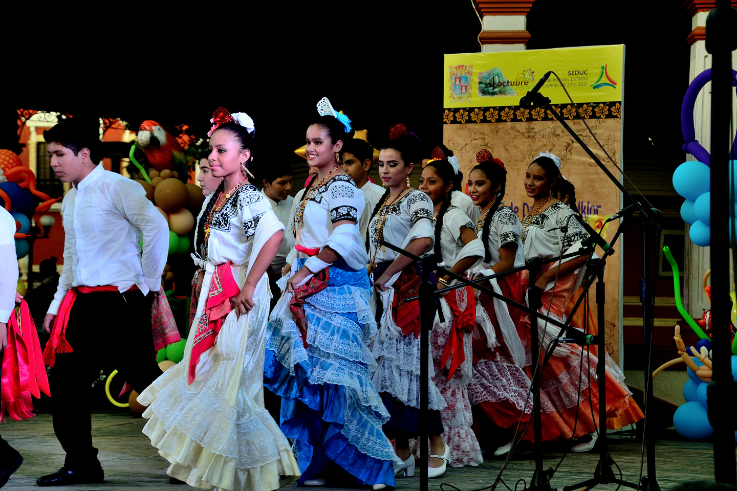
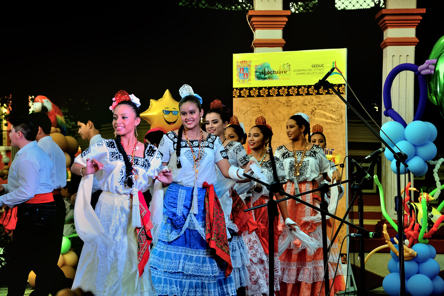
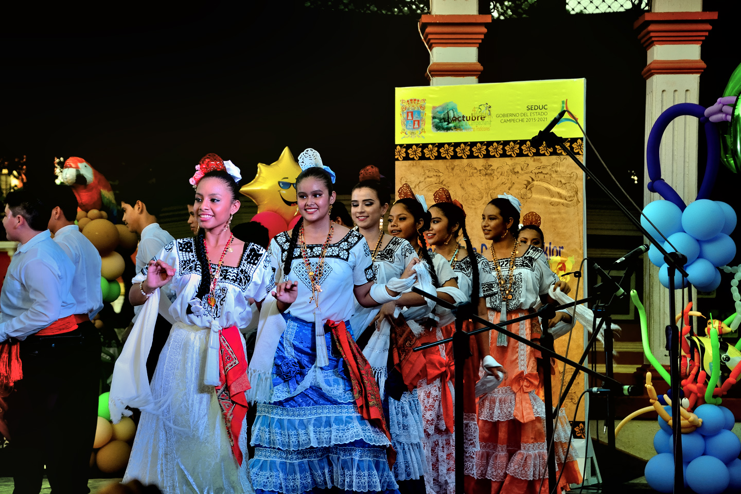
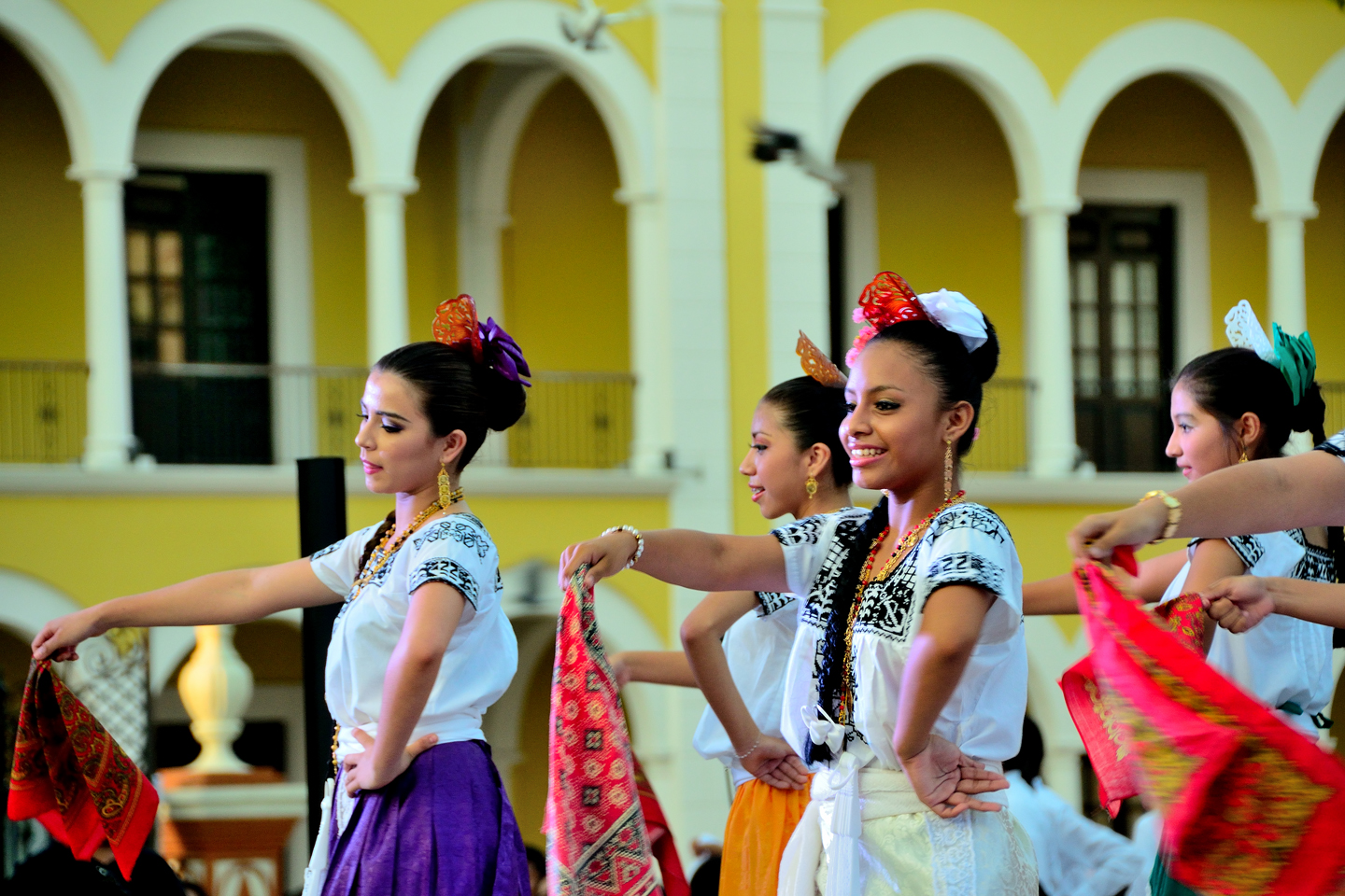
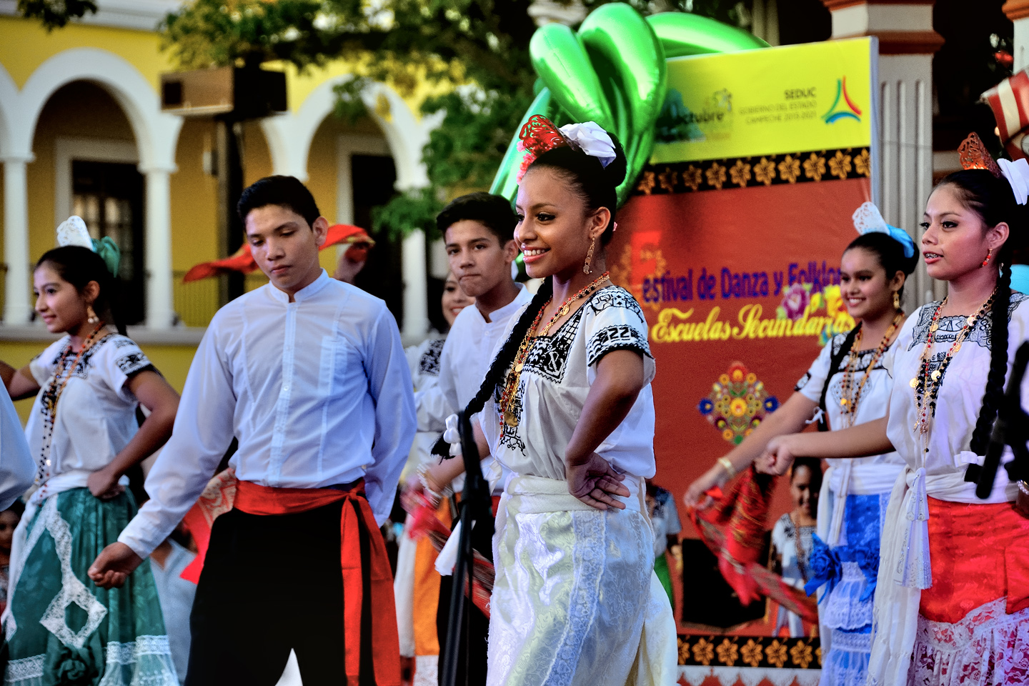
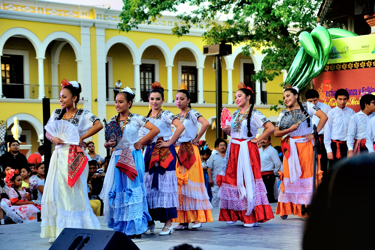
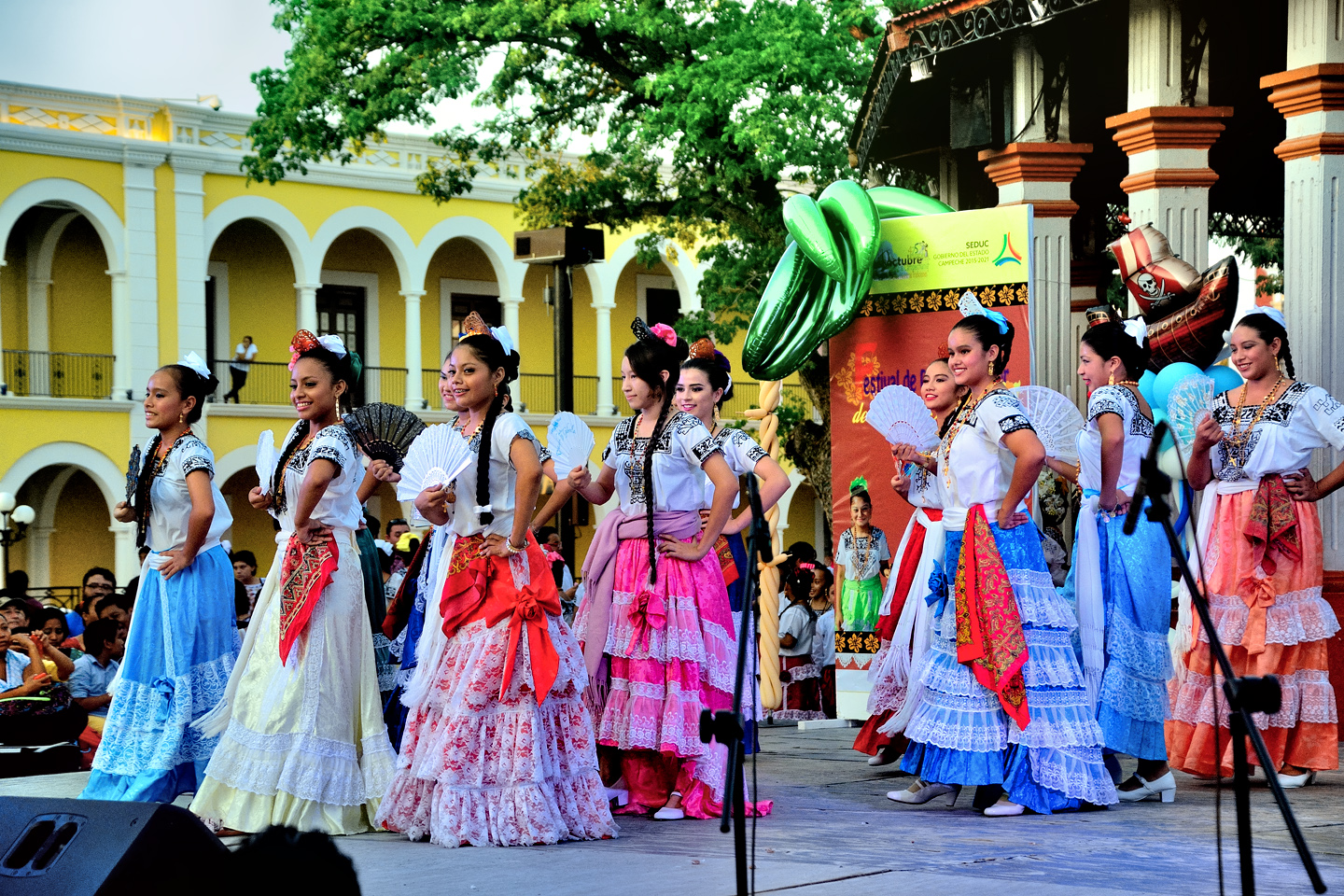
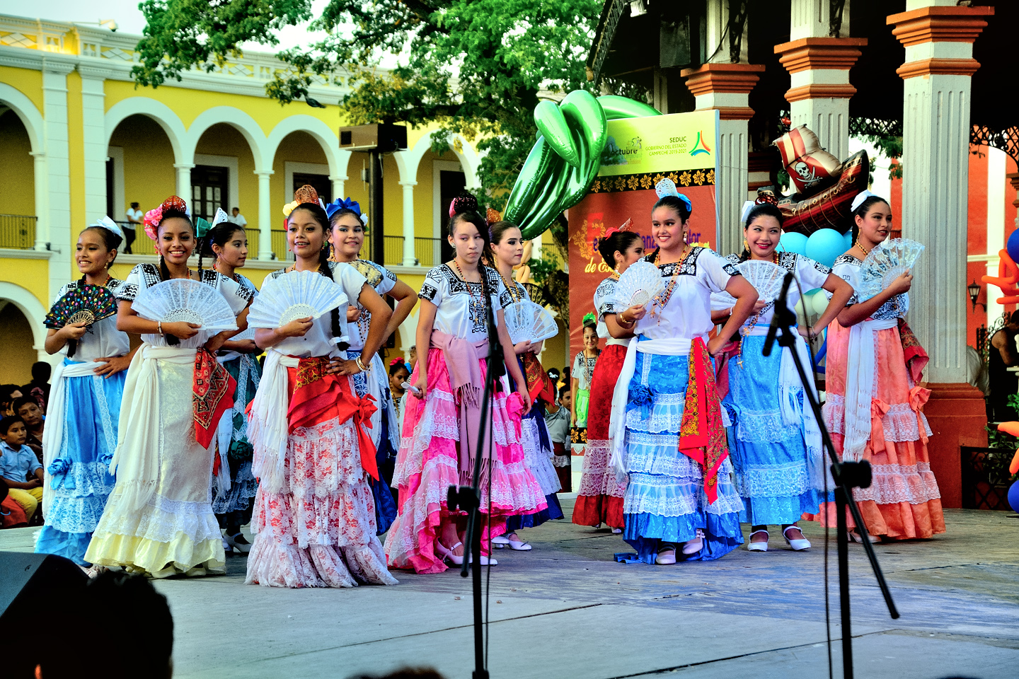
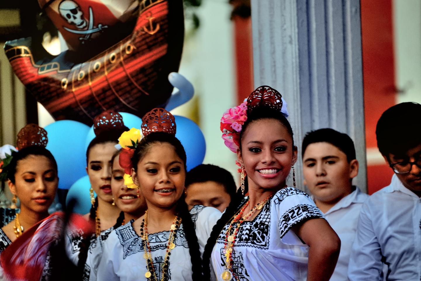
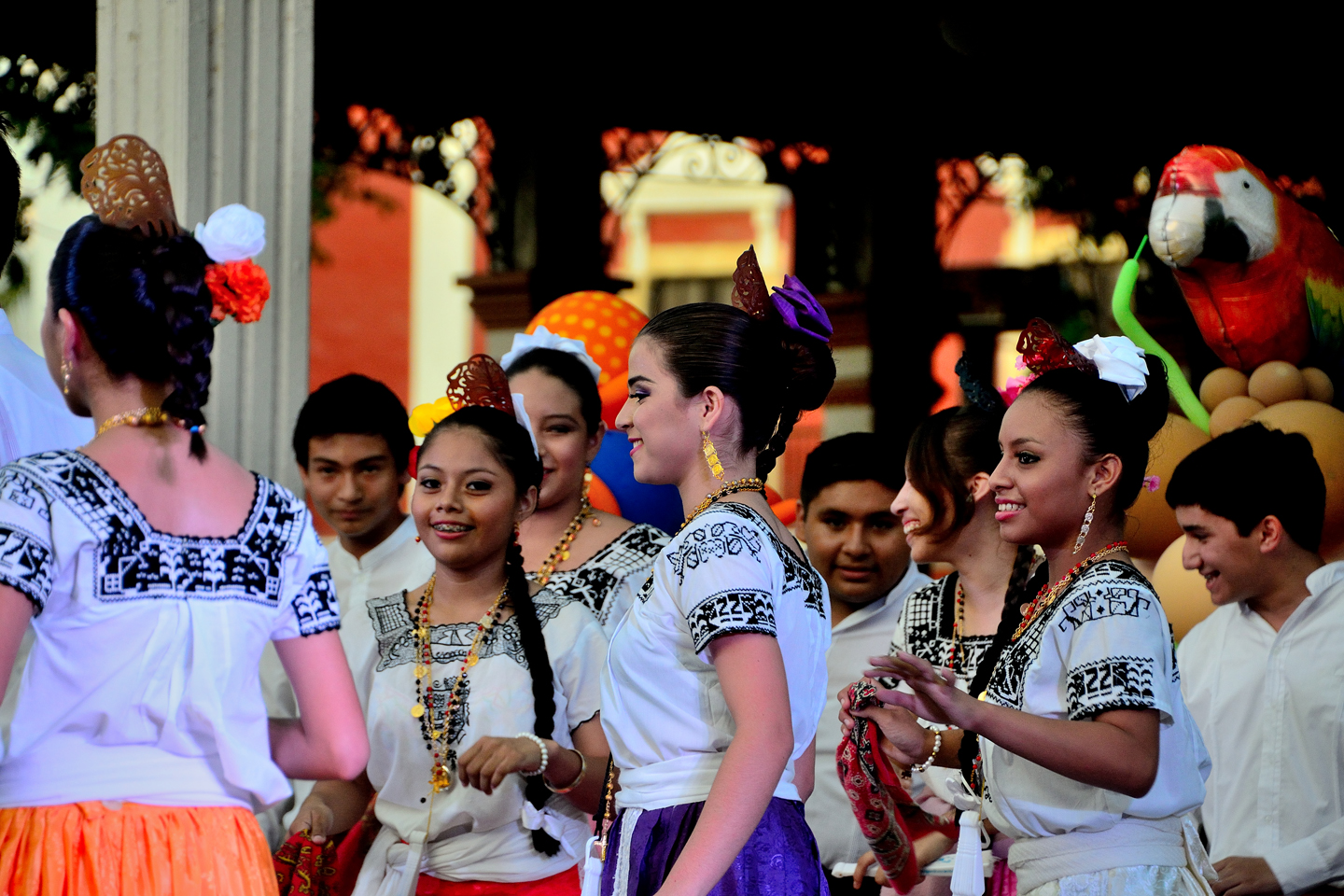
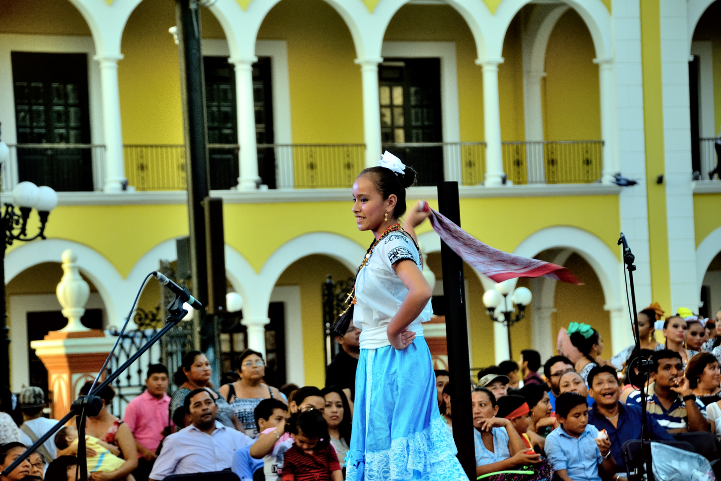
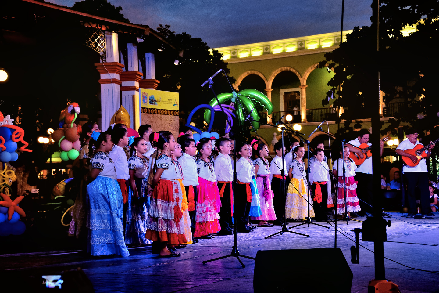
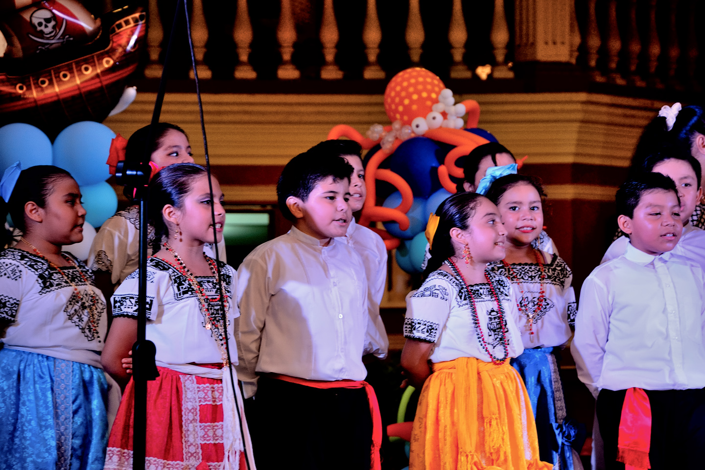
This was a truly unexpected pleasure: a serendipitous consequence of good luck and good timing. Campeche, where they dearly love a good festival, was putting one on at that very moment: a “Festival of Dance and Folklore,” according to the sign on the stage. The girls were all dressed in full “Campechana” regalia, with embroidered white blouses, colorful, ankle length flounced skirts, and hair pulled back with ribbons and combs. What we were about to witness was a demonstration of the traditional dances of Campeche, routines and costumes with roots reaching back to 16th century Spain. The rhythms and movements, as well as the music is a blend of African, Spanish, and indigenous Mayan influences; a joyful celebration of Campeche’s multi-cultural heritage.
Dancers in traditional costumes, getting ready to perform for the crowd on a stage set up in Campeche’s main Plaza.
FESTIVAL OF DANCE AND FOLKLORE
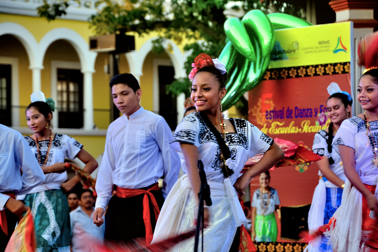
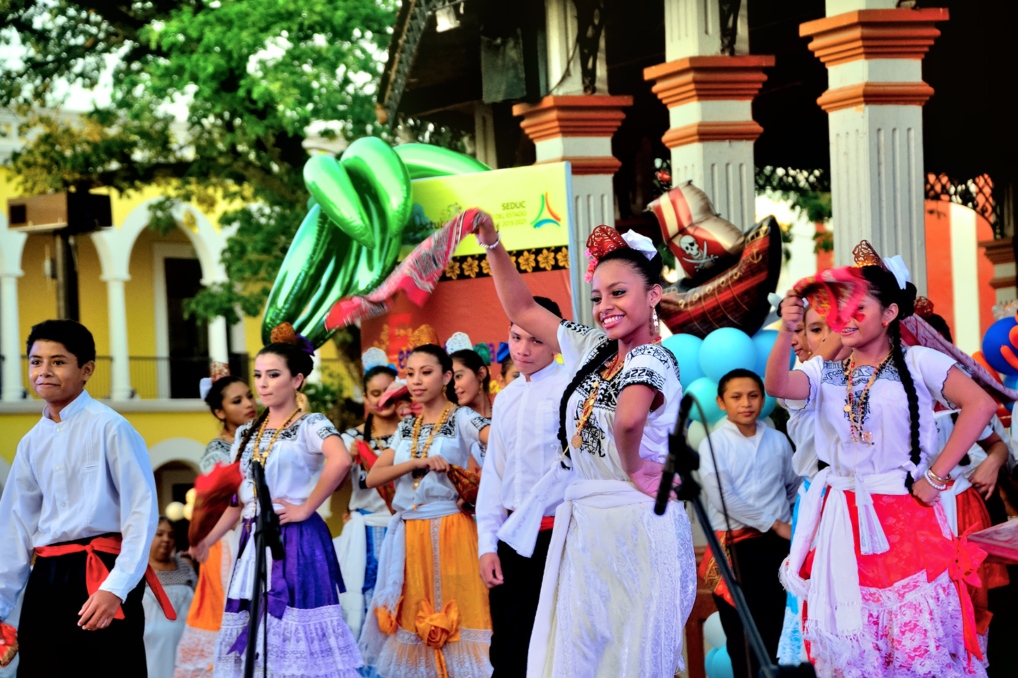
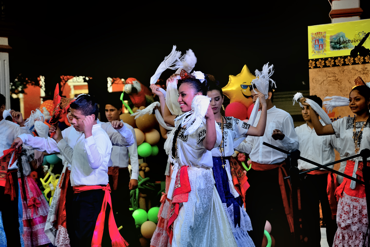
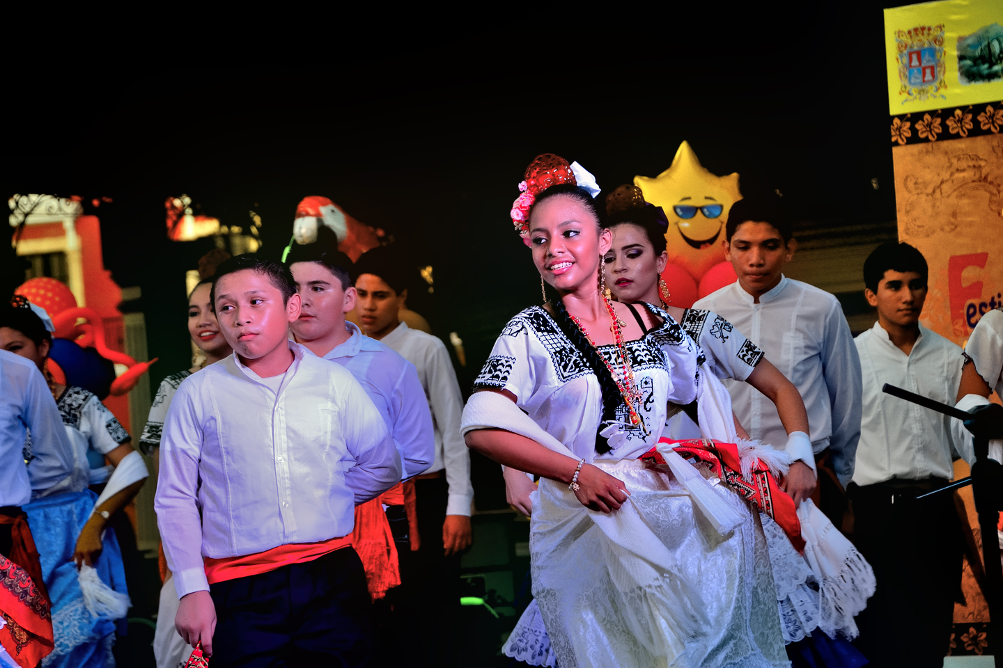
An announcer, I’ll call her the Dance Instructor, introduced the troupe of girls and young guys on the stage. Clearly, the guys were little more than props, because all eyes were on the girls, so colorful, and so elegant, dressed to the nines, and hiding coyly behind their pleated, folding hand fans. The matron described the dances that would be performed, the best known being “La Guaranducha,” in which the ladies entrance the young men with swirling skirts and twirling scarves.
The dresses worn by the ladies are a traditional style dating back to a bygone era, but each dancer adds personal touches.
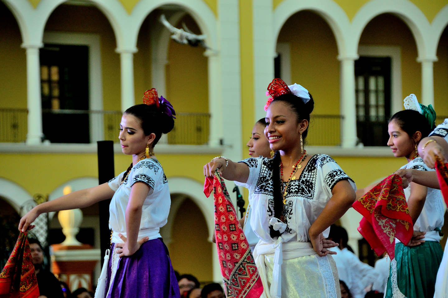
The women of Campeche, the “Campechanas,” are famously strong willed, and that attitude, characterized by defiant smiles and the traditional stance, arms akimbo and fists on hips, is clearly displayed in the posture of the dancers. Each of these young women has a wonderfully distinct personality, and each of them brought something unique to their performance.
CLICK PHOTOS TO EXPAND
The performance is part dance, part fashion show, and part beauty pageant!
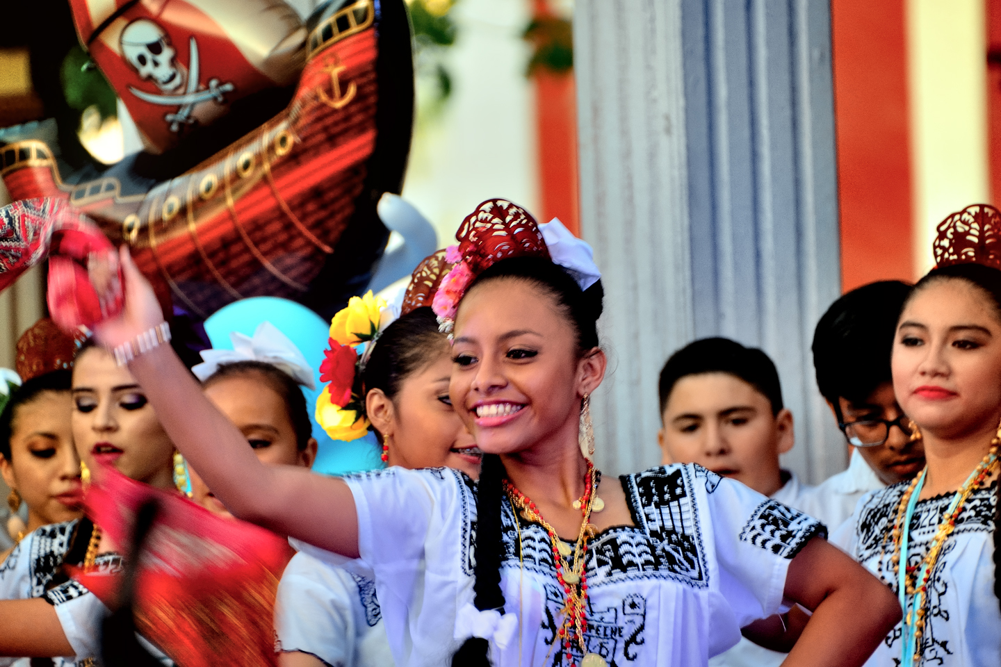
The thumbnails below show the ladies in motion, with their twirling skirts and scarves!
La Guaranducha is a celebration of life, community, and the joy of existence. Colonial Spanish grandiosity, enlivened by frenetic elements of black Carnaval, tempered by the sly influence of the indigenous Mayans, whose descendants still make up much of the population of the Yucatan. The dance originated in Campeche, and it is still primarily associated with that city, but versions of it are performed in other parts of the Yucatan as well, including in Merida.
There were a number of different groups performing on the stage, and one of the most fun was a children’s choir, two dozen youngsters singing traditional songs. They were dressed in miniature versions of the same costumes worn by the older performers, and they were–dare I say it? Cute as the dickens!
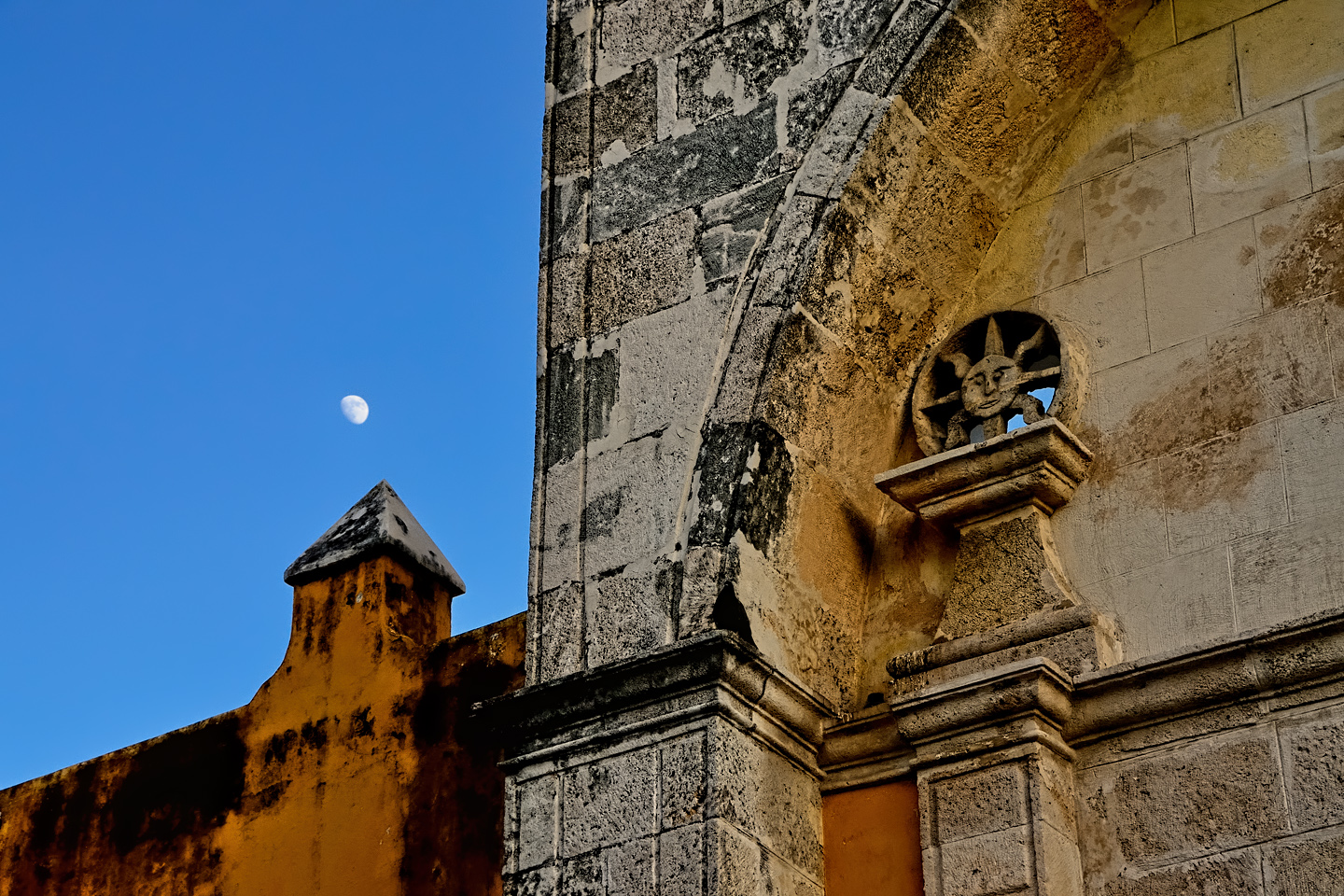
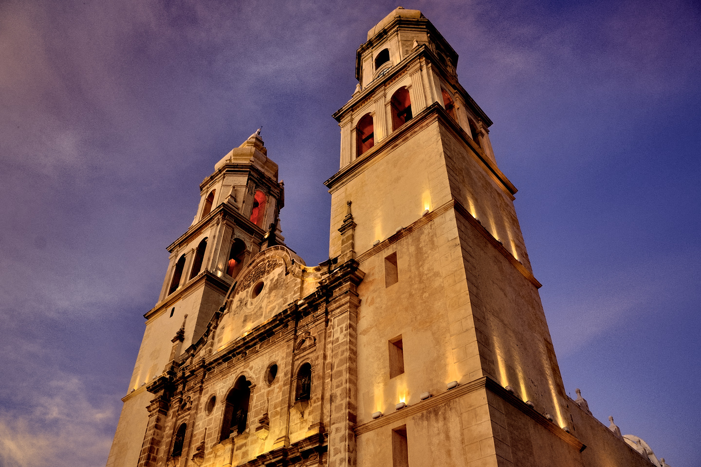
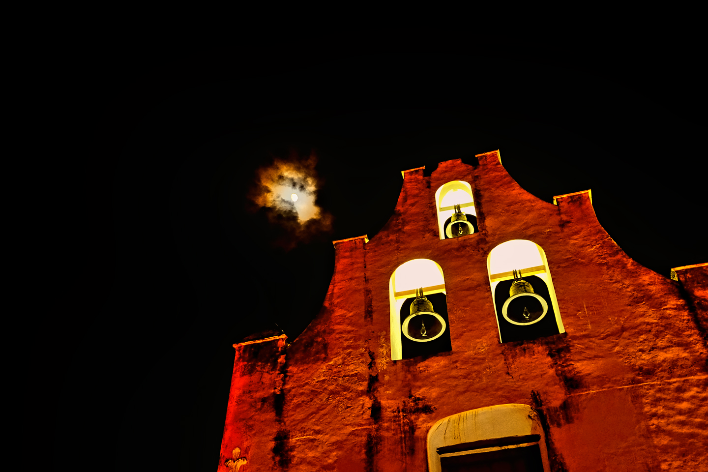
When the performances ended for the evening, we took in the sunset, and the simultaneous moonrise behind Campeche’s baroque cathedral. Construction of the church started in 1540, the year the city was founded, and it wasn’t actually completed for more than 200 years. It’s a beautiful building, and I got some great photographs:
Catedral de Nuestra Señora de la Purísima Concepción, the Catholic Cathedral of Campeche, built between 1540 and 1760
Campeche as the sun sets and the moon rises; a perfect end to a fine day in Mexico!
After a terrific dinner at one of the restaurants with tables in the blocked-off street, we headed back to our room at the Hotel del Paseo for a much needed rest. We had a basic plan for the next day that involved more Mayan ruins, and more of Campeche–but it was going to be very hard to top this day. It was frankly spectacular, from start to finish!
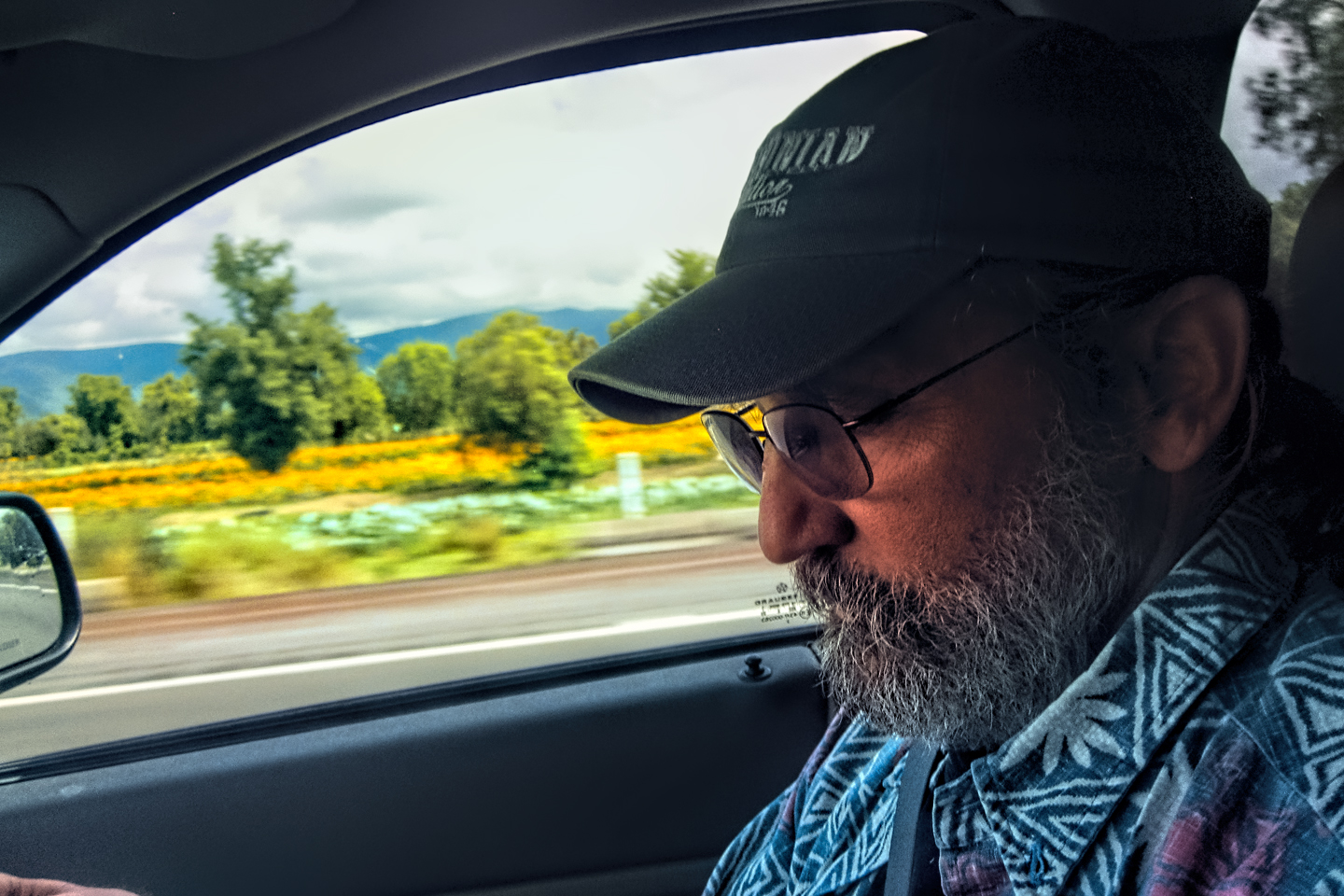
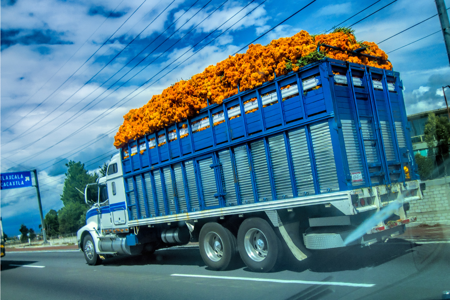
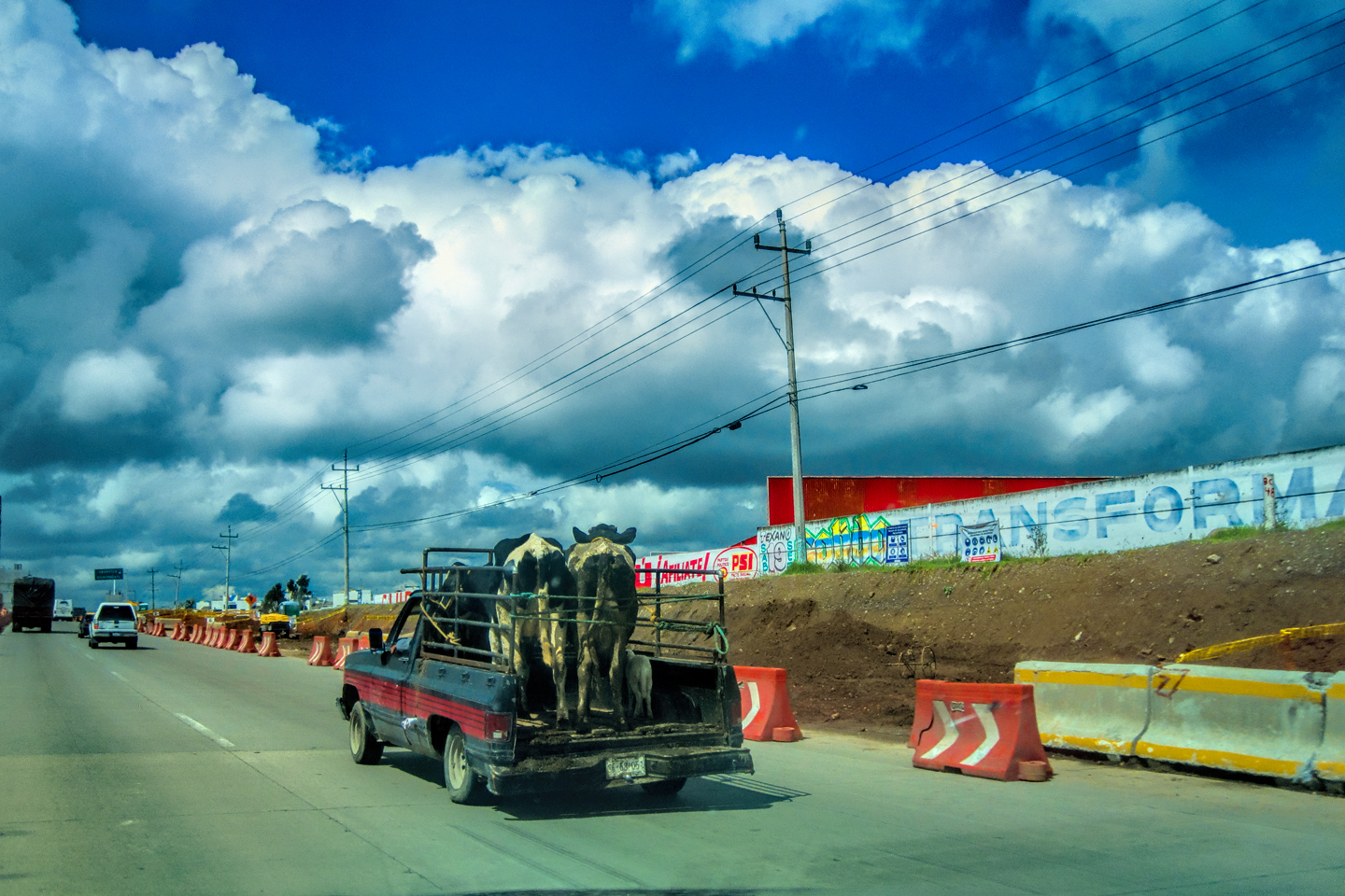
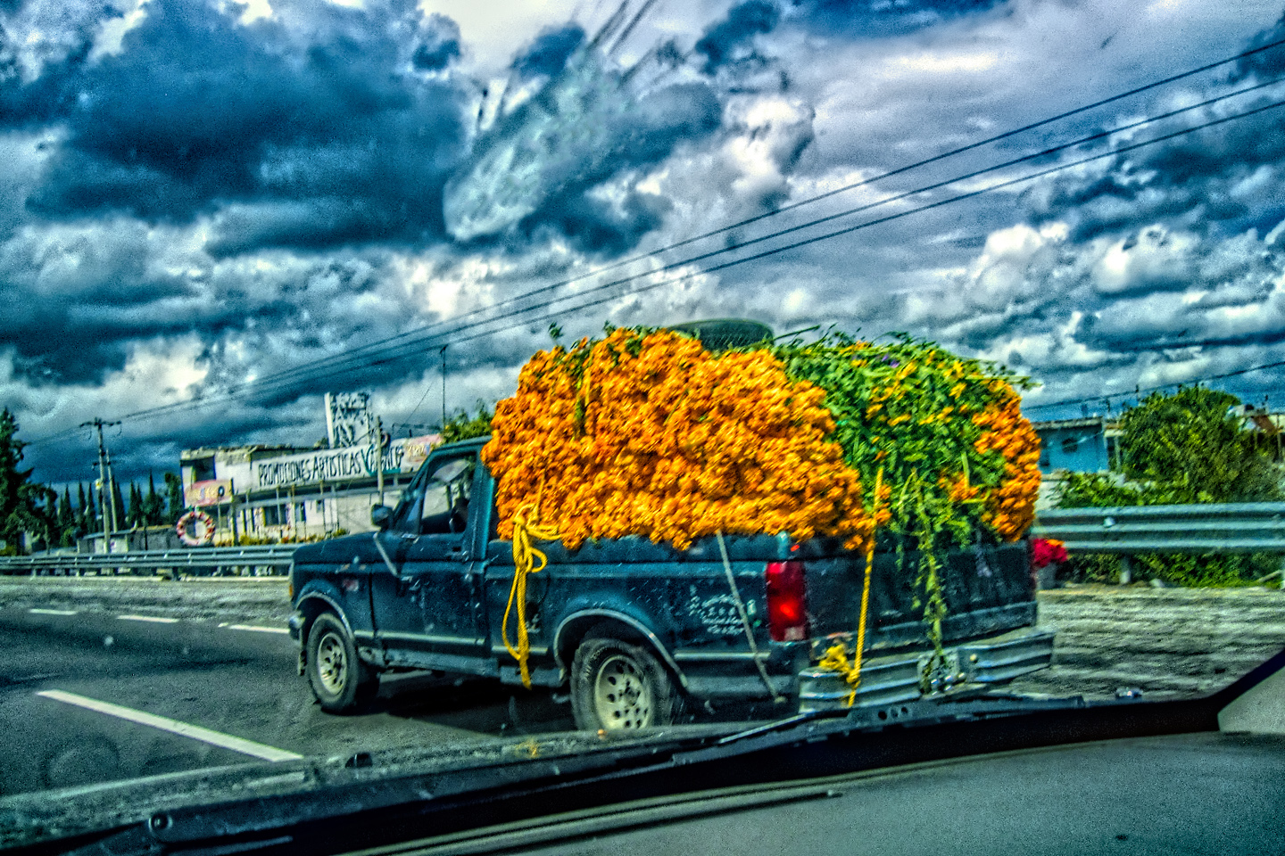
The collage below features additional photos taken on the road in Mexico by my inestimable shotgun rider, Michael Fritz. Click any image to expand them to full screen:
(Unless otherwise noted, all other images are my (or Michael’s) original work, and are protected by copyright. They may not be duplicated for commercial purposes.)
Click any photo to expand the image to full screen
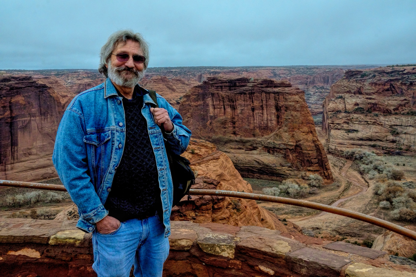
Michael Fritz, “Elmo,” 1949-2025
READ MORE LIKE THIS:
This is an interactive Table of Contents. Click the thumbnails to open the pages.
ON THE ROAD IN MEXICO
MEXICAN ROAD TRIP: HOW TO PLAN AND PREPARE FOR A DRIVE TO THE YUCATAN
The published threat levels are a “full-stop” deal breaker for the average tourist. That’s unfortunate, because Mexican road trips are fantastic! Yes, there are risks, but all you have to do to reduce those risks to to an acceptable level is follow a few simple guidelines.
<<CLICK to Read More!>>
Mexican Road Trip: Heading South, From Laredo to Villahermosa
When it was our turn, soldiers in SWAT gear surrounded my Jeep, and an officer with a machine gun gestured for me to roll down my window. He asked me where we were going. I’d learned my lesson in customs, and knew better than to mention the Yucatan. “We’re going to Monterrey,” I said, without elaborating.
He checked our ID’s and our travel documents, then handed them back. “Don’t stop along the way,” he advised. “You need to get off this road and to a safe place as quickly as you can!”
<<CLICK to Read More!>>
Mexican Road Trip: Zapatista Road Blocks in Chiapas
“Good morning,” I said. “We’re driving to Palenque. Will you allow us to pass?”
The leader of the group, a young Mayan lad, walked up beside my Jeep, and fixed me with a menacing glare. “The road is closed,” he said, keeping his hand on the hilt of his machete. “By order of the Ejército Zapatista de Liberación Nacional!”
“Is it closed to everyone?” I asked innocently. “How about if we pay a toll? How much would the toll be?”
He gave me an even more menacing glare. “That will cost you everything you’ve got,” he said gruffly, brandishing his machete, while his companions did the same.
<<CLICK to Read More!>>
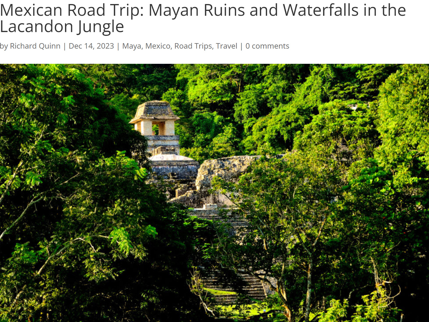
Mexican Road Trip: Mayan Ruins and Waterfalls in the Lacandon Jungle
The next morning, we were waiting at the entrance to the Archaeological Park a half hour before they opened for the day. We were the only ones there, so they let us through early, and I had the glorious privelege of photographing that wonderful ruin in the golden light of early morning, without a single fellow tourist cluttering my view.
<<CLICK to Read More!>>
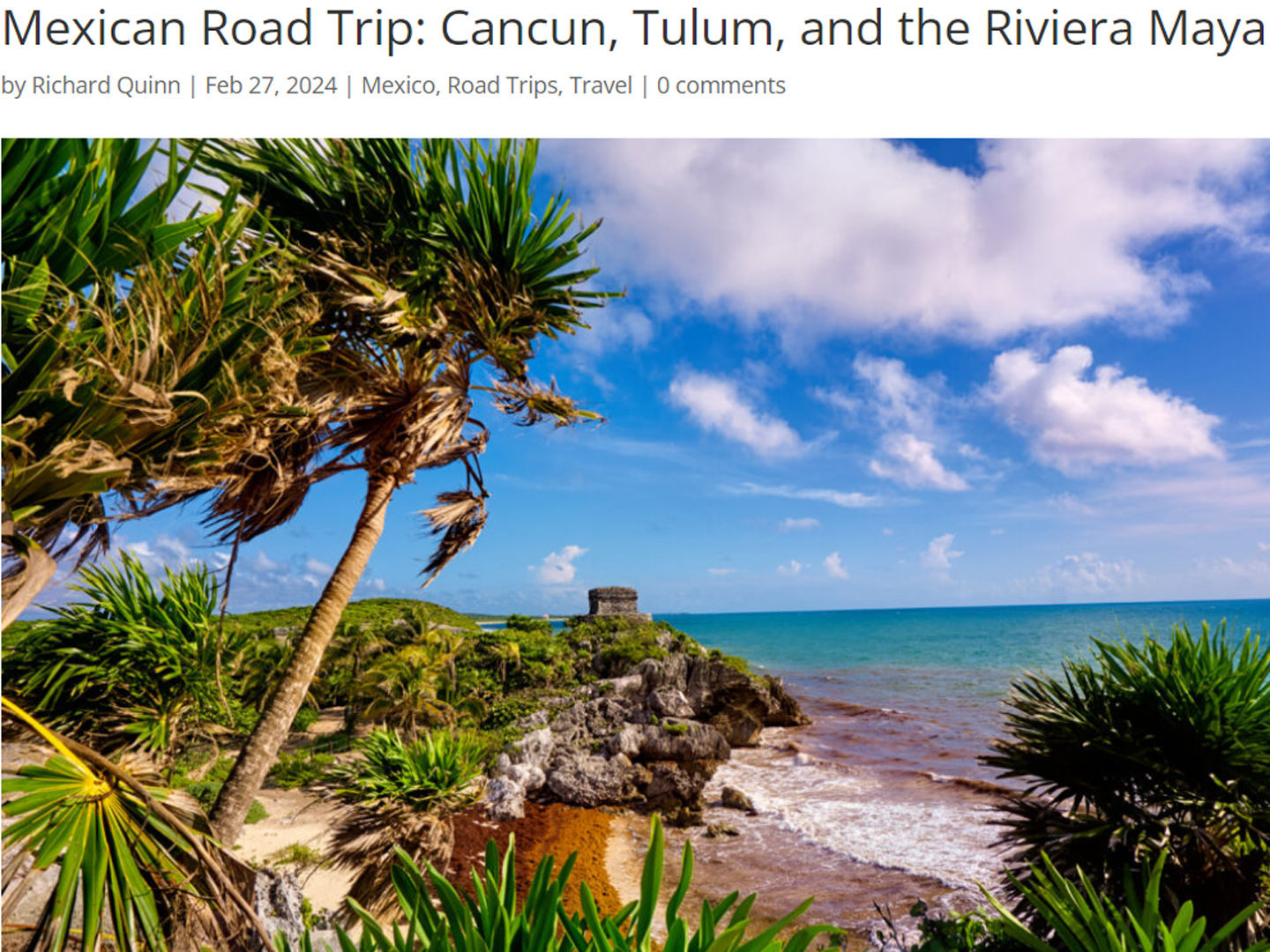
Mexican Road Trip: Cancún, Tulum, and the Riviera Maya
The millions of tourists who fly directly to Cancún from the U.S. or Canada are seeing the place out of context. They can’t possibly appreciate the fact that they’re 2,000 miles south of the border; a whole country, a whole culture, a whole history away from the U.S.A. Just looking around, on the surface? The second largest city in southern Mexico could easily pass for a beach town in Florida.
<<CLICK to Read More!>>
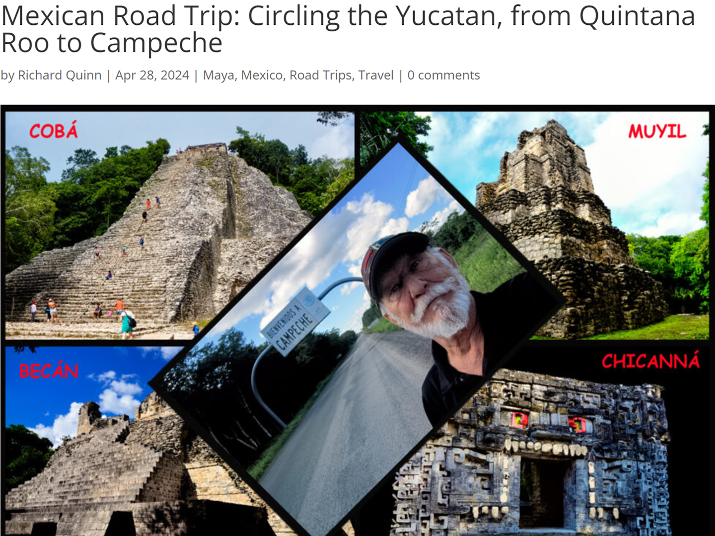
Mexican Road Trip: Circling the Yucatan, from Quintana Roo to Campeche
The Castillo at Muyil isn't huge, as Mayan pyramids go, topping out at just over 50 feet, but it’s definitely imposing. Try to imagine: the equivalent of a five story building, with a three story grand staircase, just appearing, out in the middle of nowhere? Boo-yah!
<<CLICK to Read More!>>
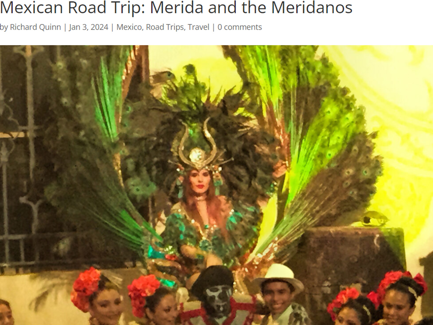
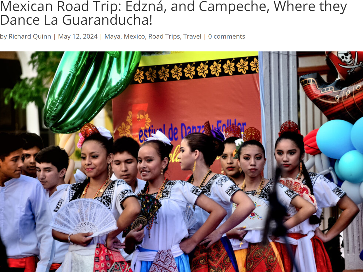
Mexican Road Trip: Edzná, and Campeche, Where They Dance La Guaranducha
La Guaranducha, a traditional dance from Campeche, is a celebration of life, community, and the joy of existence. On stage, there was a group of young men and women in traditional dress, but it was clear that the guys were little more than props, because all eyes were on the girls. So colorful, and so elegant, hiding coyly behind their pleated, folding hand fans.
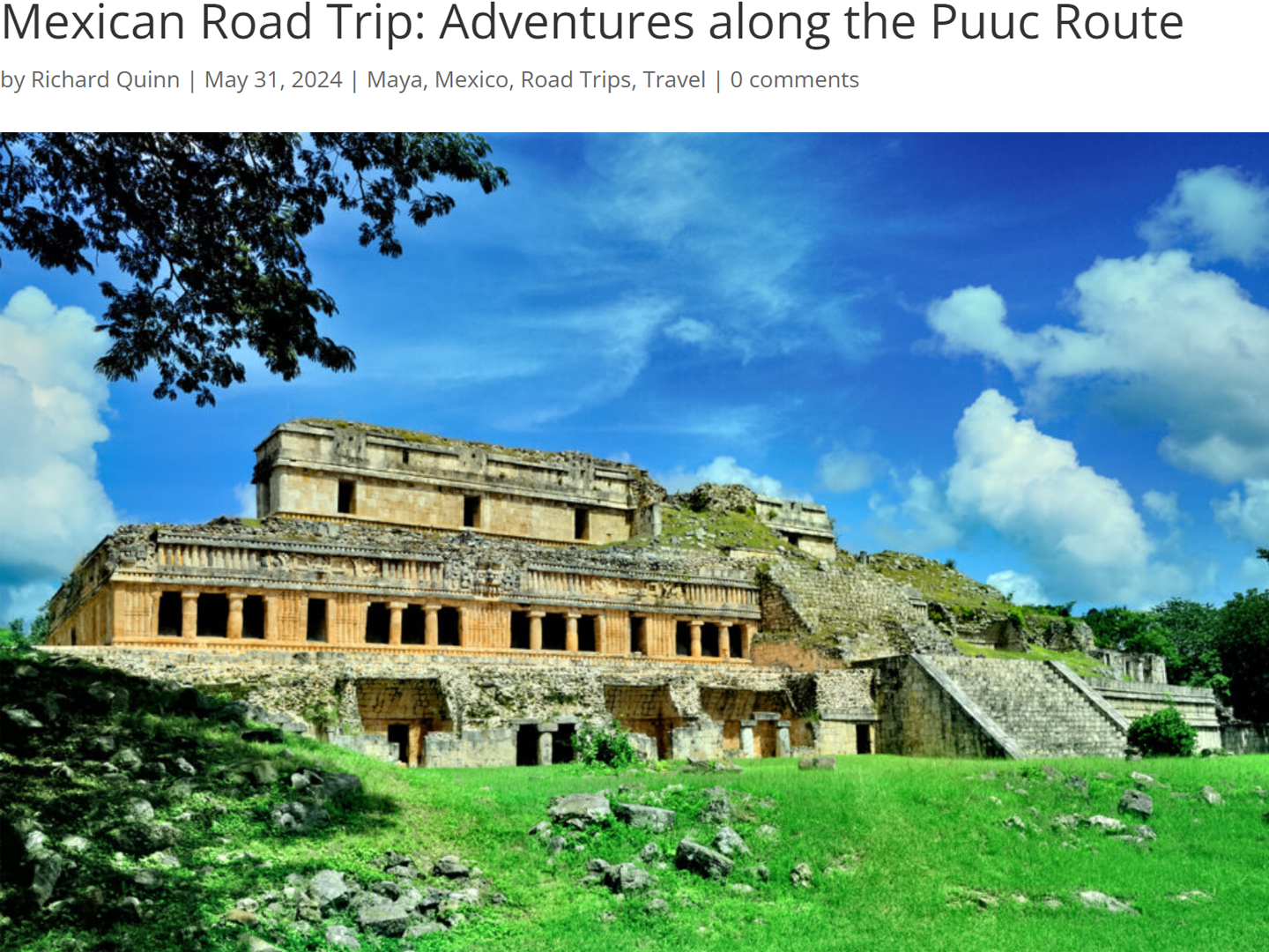
Mexican Road Trip: Adventures Along the Puuc Route
All of these communities in the Puuc region were allied, politically, culturally, economically, and socially. The Puuc was the cradle of the Golden Age of the Maya. Labna and Sayil were among the brightest jewels in the crown of a realm that never quite coalesced into an empire.
<<CLICK to Read More!>>
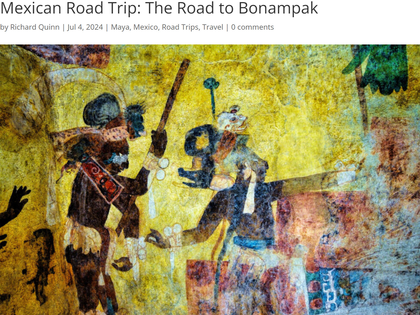
Mexican Road Trip: The Road to Bonampak
Rainwater seeping through the limestone walls of the temple soaked the Bonampak Murals with a mineral-rich solution that, each time it dried, left behind a sheen of translucent calcite. The built-up coating protected the paintings for more than 1200 years. As a result, we're left with the finest examples of ancient art from the Americas to have survived into our modern era.
Mexican Road Trip: Crossing the Chiapas Highlands, to San Cristobal de las Casas
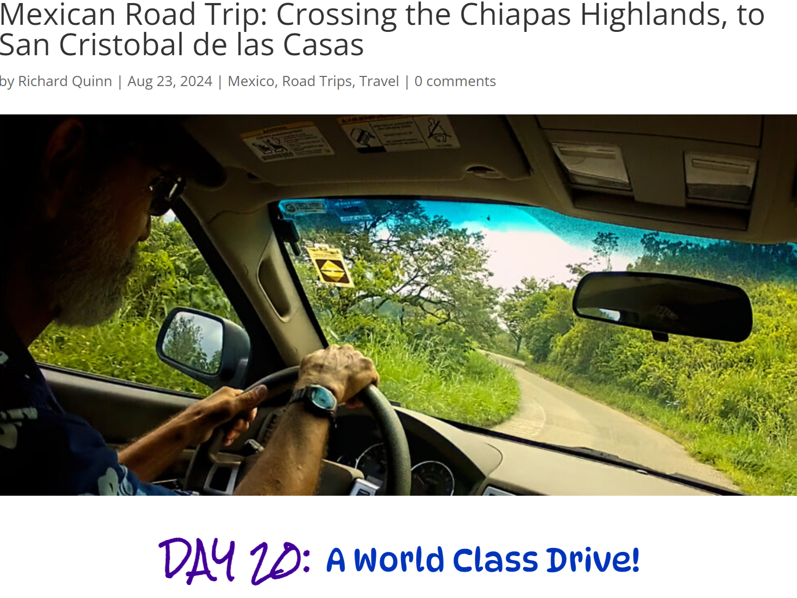
MX 199 crosses the Chiapas Highlands from Palenque to San Cristobal de las Casas. The distance is only 132 miles, but it's 132 miles of curvy mountain roads with switchbacks, steep grades, slow trucks, and villages chock-a-block with topes and bloqueos, unofficial road blocks. Everything I read, and everything I heard, described the drive as alternatively spectacular, dangerous, and fascinating, in seemingly equal measure.
Mexican Road Trip: Cruising the Sierra Madre, from San Cristobal to Oaxaca
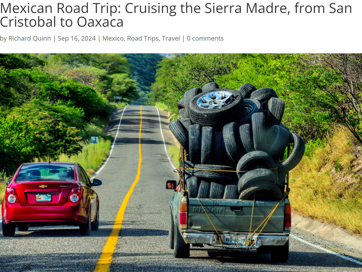
Today, we’d be driving as far as the city of Oaxaca, 380 miles of curves, switchbacks, and rolling hills that would require at least ten hours of our full attention, crossing the Sierra Madre de Chiapas, and entering the rugged, agave-studded landscape of the Sierra Madre de Oaxaca. If you’d like to know what that was like, read on!
Mexican Road Trip: Flashing Lights in the Rear View: Officer Plata and La Mordida
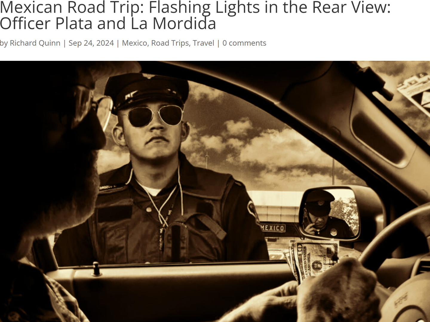
As we drove away from the toll plaza, a State Police car that had been parked off to one side made a fast U-Turn and started following me. A moment later, he turned on his flashers and gave me a short blast on his siren, motioning for me to pull over. Two uniformed policemen got out, and approached me on the driver's side. One of them hung back, apparently checking out my license plate before making a phone call.
"Documentos," said the officer by my window. "Licensia, los permisos, seguros, todo eso."
I wasn't sure if I was being stopped for some infraction, or if these guys were just fishing...
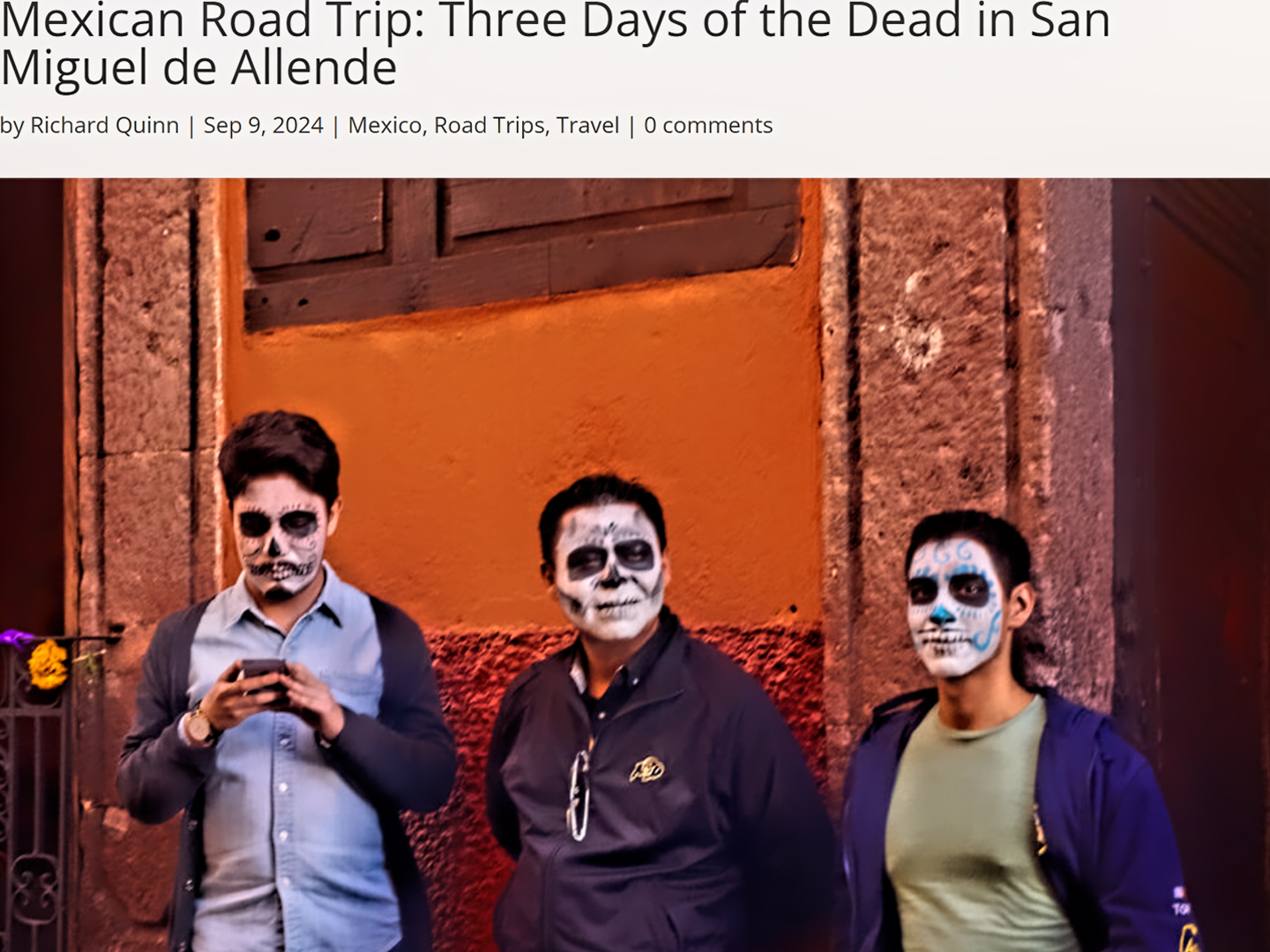
Mexican Road Trip: Three Days of the Dead in San Miguel de Allende
This post is a work in progress. Anticipated publication in May, 2025.
Mexican Road Trip: Back to the Border: San Miguel de Allende to Eagle Pass
This post is a work in progress. Anticipated publication in May, 2025.
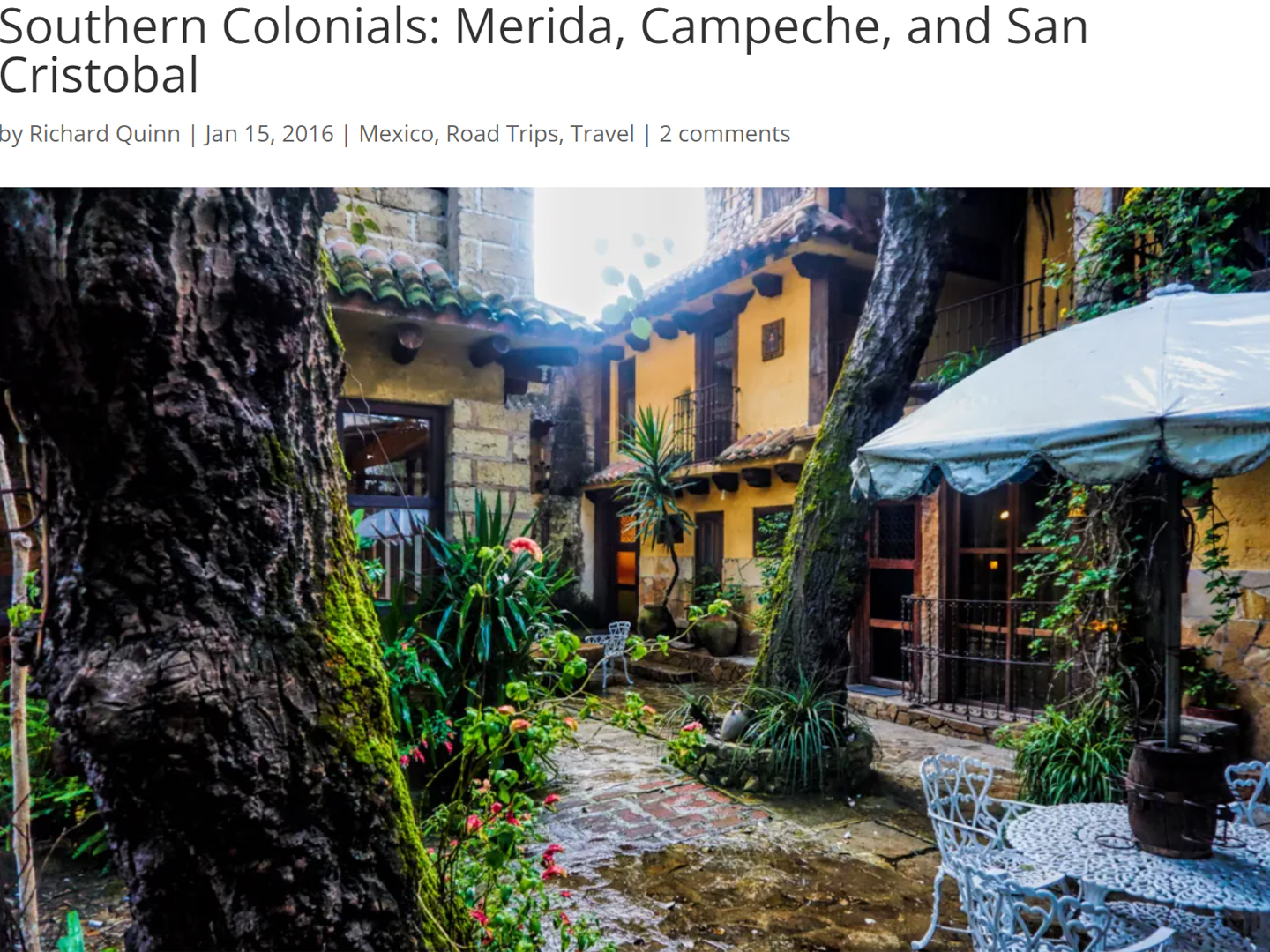
Southern Colonials: Merida, Campeche, and San Cristobal
Visiting the Spanish Colonial cities of Mexico is almost like traveling back in time. Narrow cobblestone streets wind between buildings, facades, and stately old mansions that date back three hundred years or more, along with beautiful plazas, parks, and soaring cathedrals, all of similar vintage.
<<CLICK to Read More!>>
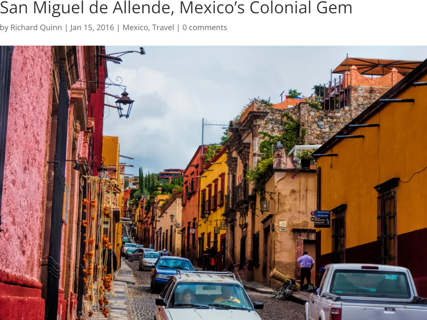
San Miguel de Allende, Mexico's Colonial Gem
If you include the chilangos, (escapees from Mexico City), close to 20% of the population of San Miguel de Allende is from somewhere else, a figure that includes several thousand American retirees.
<<CLICK to Read More!>>
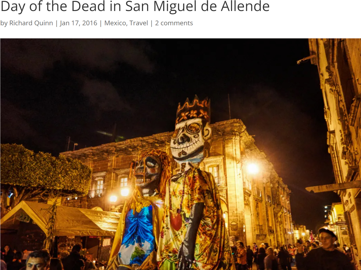
Day of the Dead in San Miguel de Allende
In San Miguel de Allende, they've adopted a variation on the American version of Halloween and made it a part of their Day of the Dead celebration. Costumed children circle the square seeking candy hand-outs from the crowd of onlookers. It's a wonderful, colorful parade that's all about the treats, with no tricks!
<<CLICK to Read More!>>
IN THE LAND OF THE MAYA
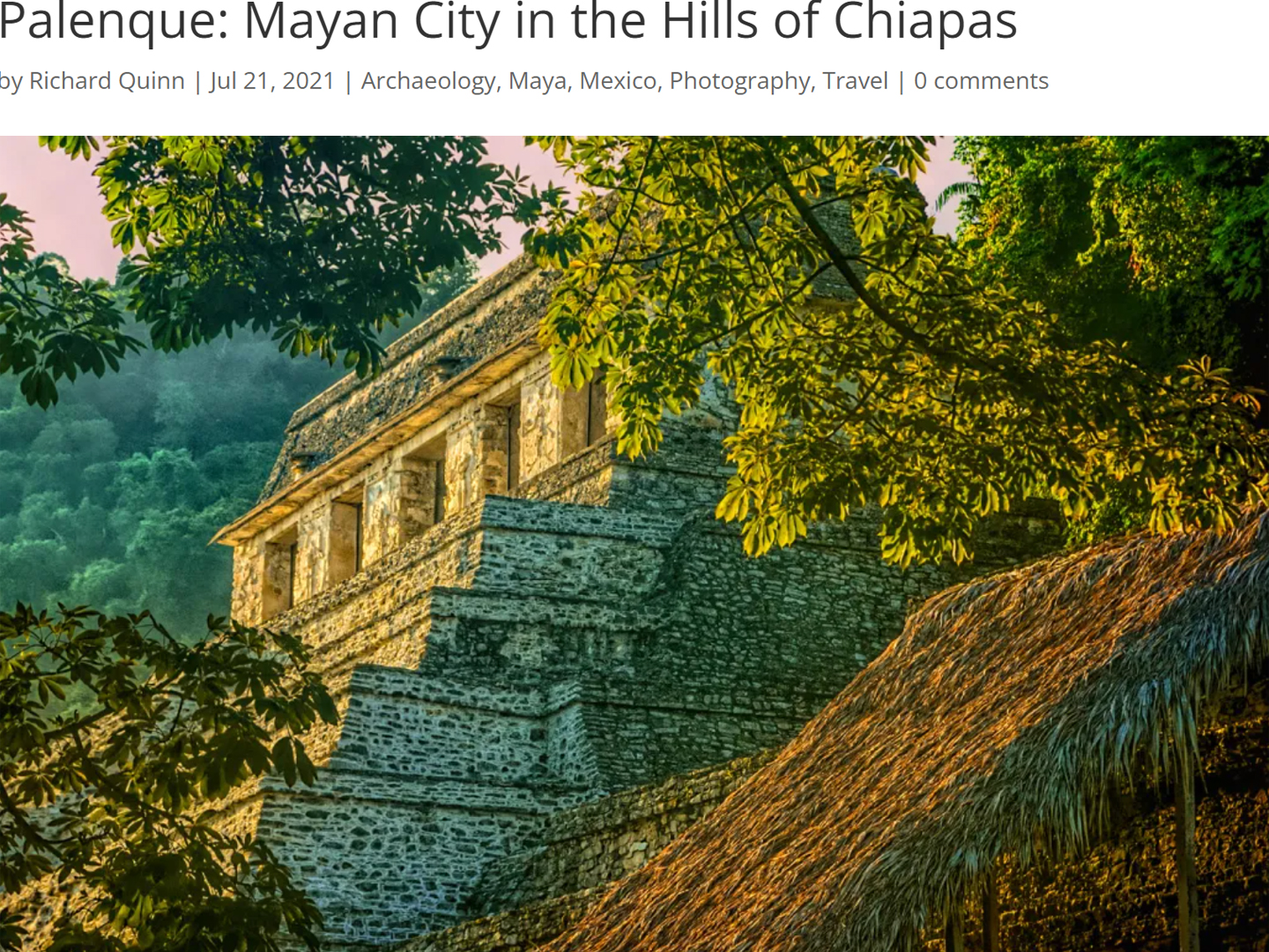
Palenque: Mayan City in the Hills of Chiapas
Palenque! Just hearing the name conjures images of crumbling limestone pyramids rising up out of the the jungle, of palaces and temples cloaked in mist, ornate stone carvings, colorful parrots and toucans flitting from tree to tree in the dense forest that constantly encroaches, threatening to swallow the place whole.
<<CLICK to Read More!>>
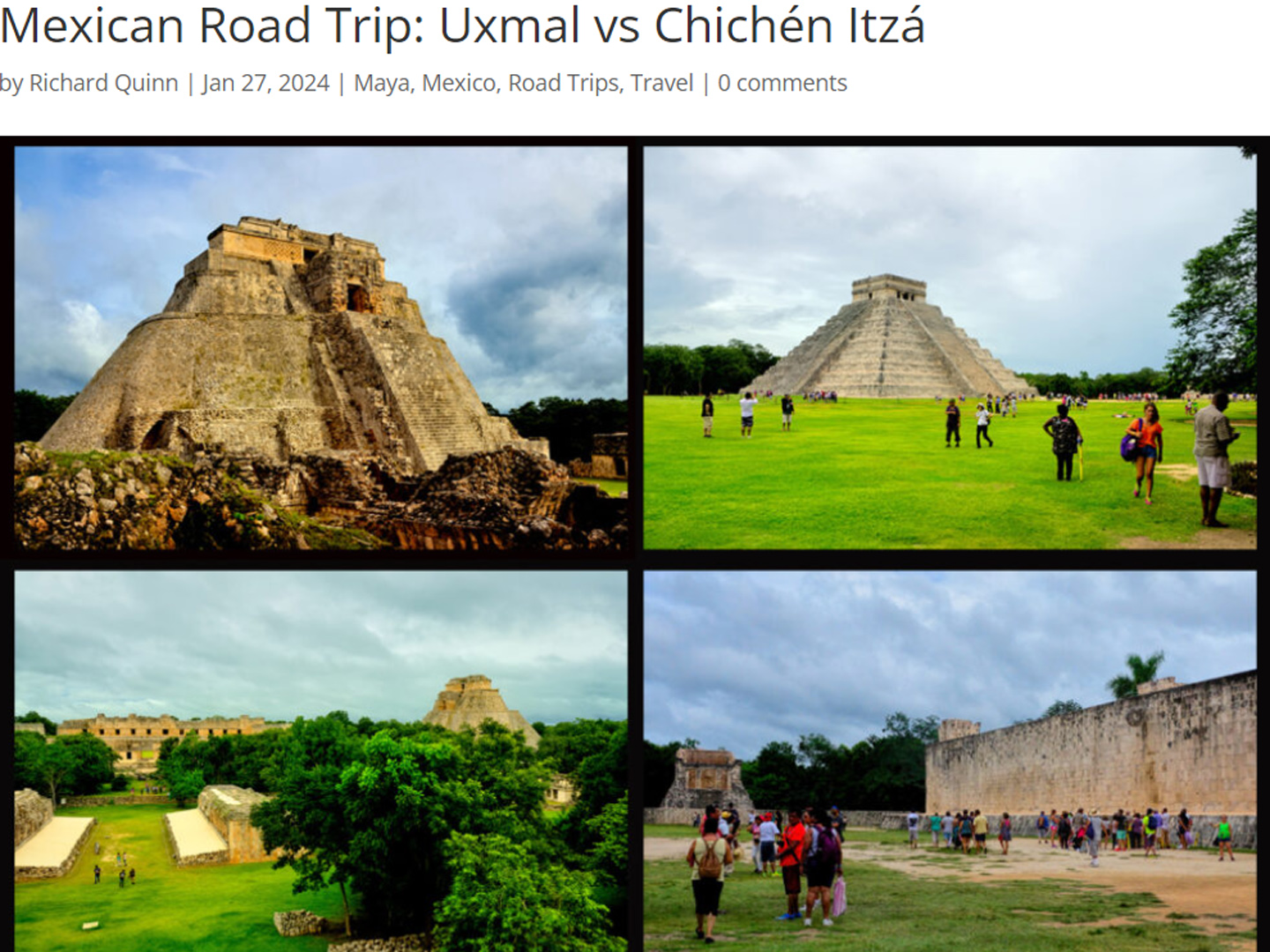
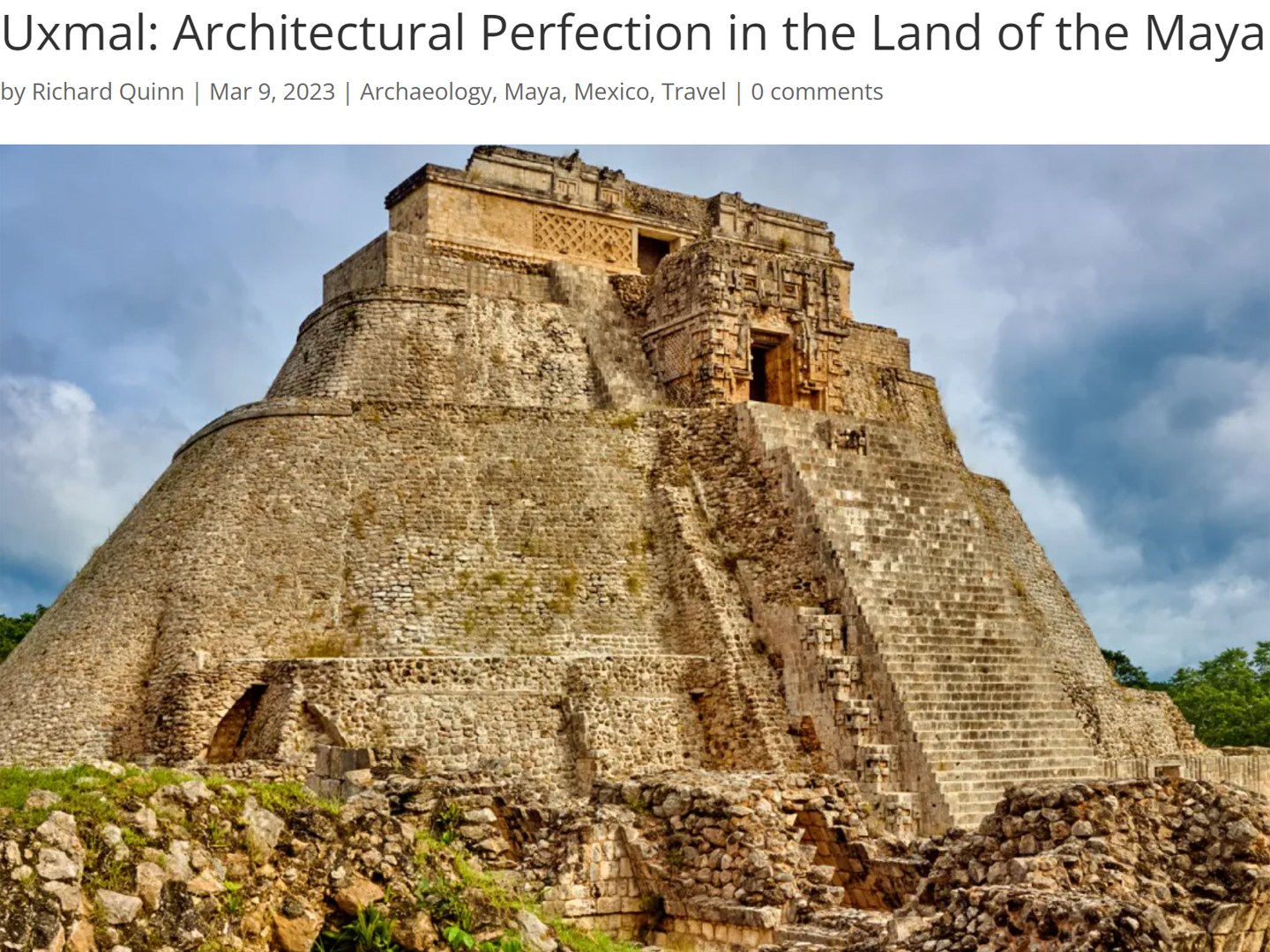
Uxmal: Architectural Perfection in the Land of the Maya
The Pyramid of the Magician is one of the most impressive monuments I've ever seen. There's a powerful energy in that spot--maybe something to do with all the blood that was spilled on the altars of human sacrifice at the top of those impossibly steep steps--but more than any building or other structure at any ancient ruin I've ever visited, more than any demonic ancient sculpture I've ever seen, that pyramid at Uxmal quite frankly scared the hell out of me!
<<CLICK to Read More!>>
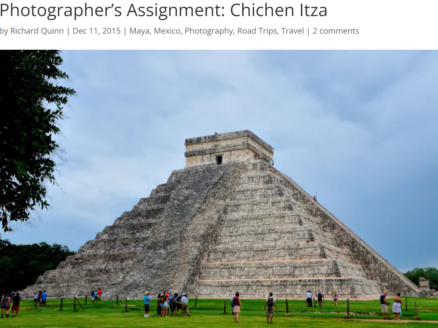
Photographer's Assignment: Chichén Itzá
To get the best photos, arrive at the park before it opens at 8 AM. There will only be a handful of other visitors, and you’ll have the place practically all to yourself for as much as two hours! Take your time composing your perfect shot.There won’t be a single selfie stick in sight.
<<CLICK to Read More!>>
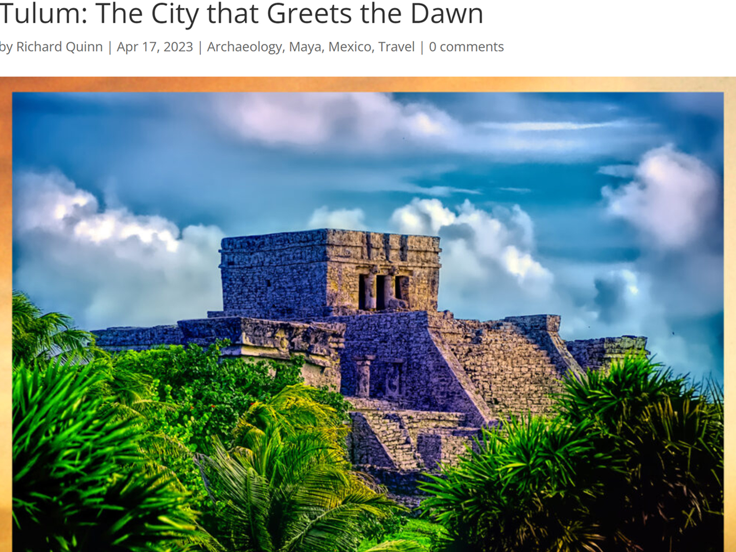
Tulum: The City that Greets the Dawn
Tulum is not all that large, as Mayan sites go, but its spectacular location, right on the east coast of the Yucatan Peninsula, makes it one of the best known, and definitely one of the most picturesque.
<<CLICK to Read More!>>
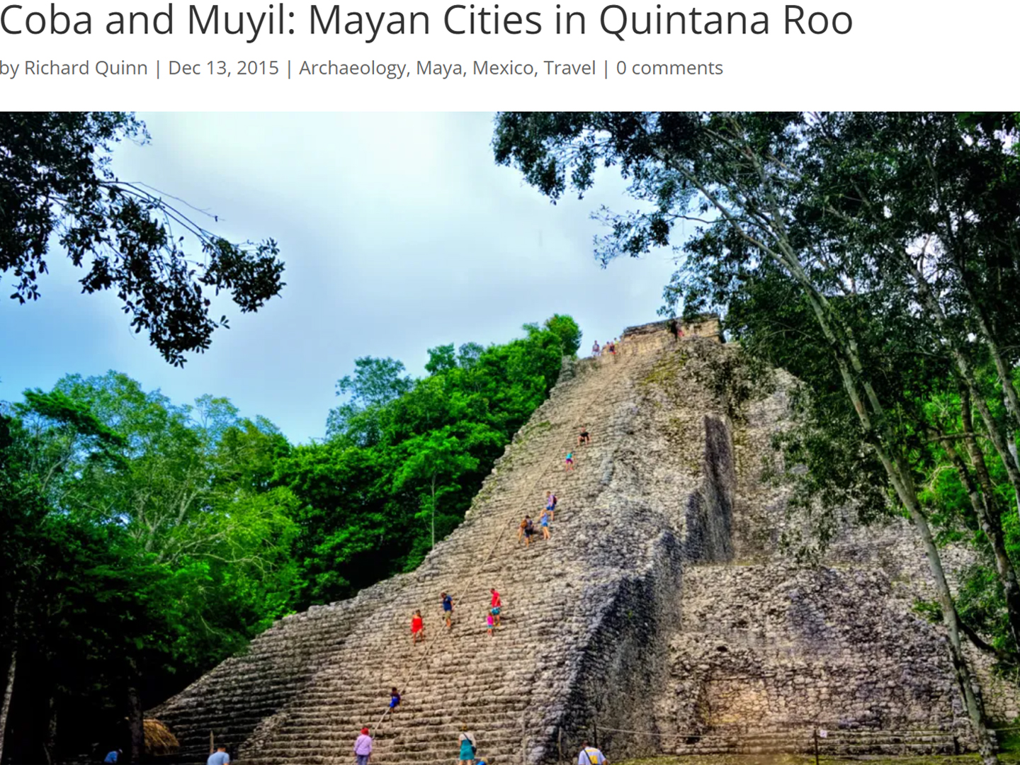
Cobá and Muyil: Mayan Cities in Quintana Roo
Cobá was a trading hub, positioned at the nexus of a network of raised stone and plaster causeways known as the sacbeob, the white roads, some of which extended for as much as 100 kilometers, connecting far-flung Mayan communities and helping to cement the influence of this powerful city.
<<CLICK to Read More!>>
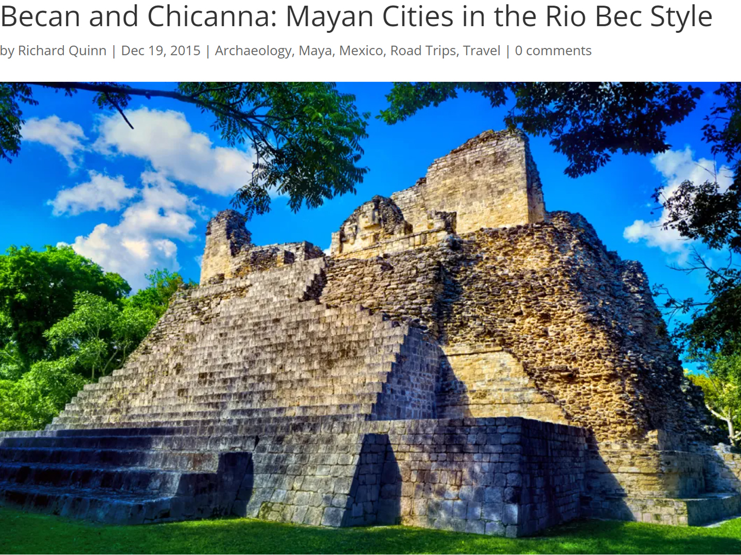
Becan and Chicanná: Mayan Cities in the Rio Bec Style
Much about the Rio Bec architectural style was based on illusion: common elements include staircases that go nowhere and serve no function, false doorways into alcoves that end in blank walls, and buildings that appear to be temples, but are actually solid structures with no interior space.
<<CLICK to Read More!>>
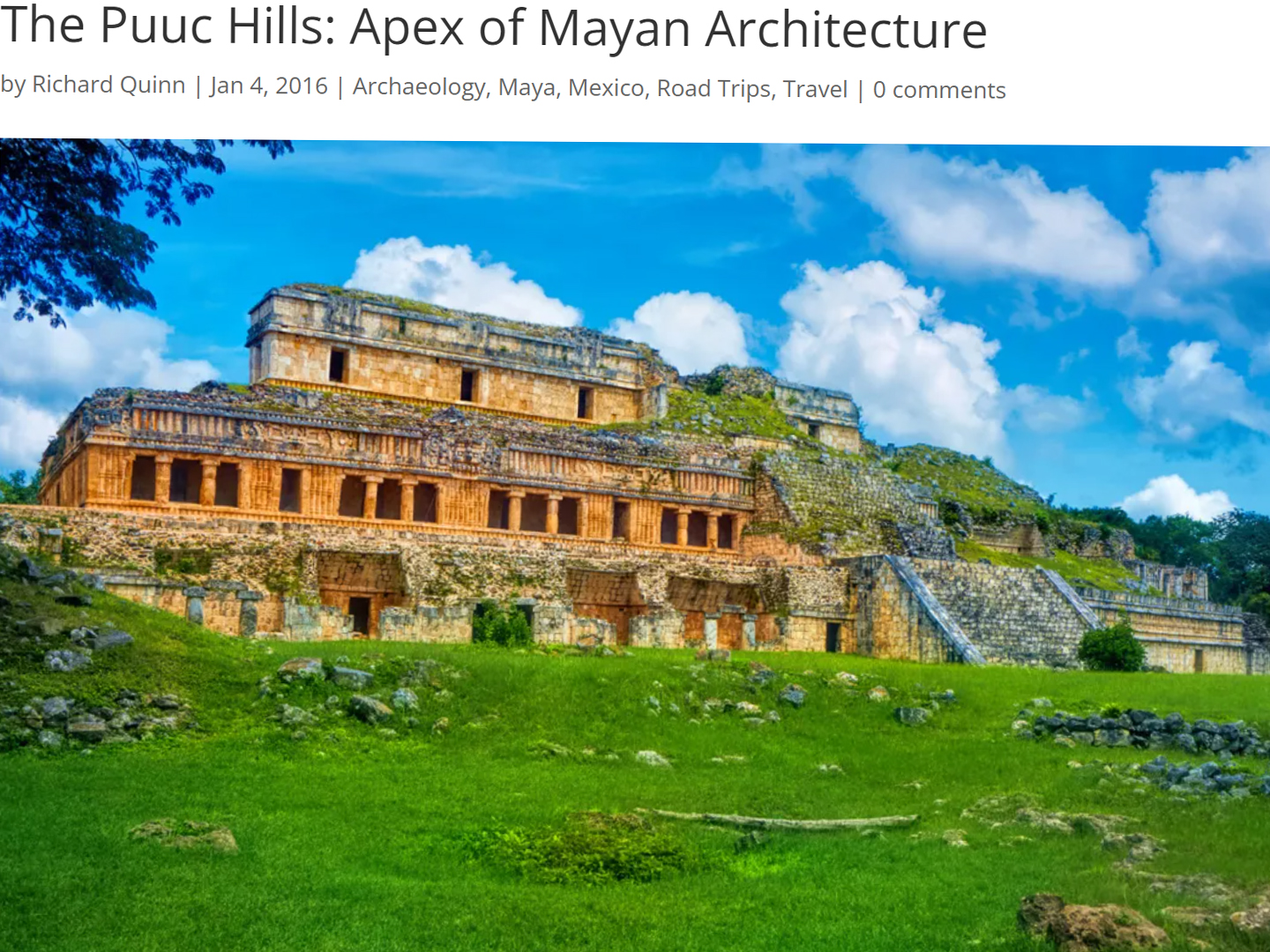
The Puuc Hills: Apex of Mayan Architecture
The Puuc style was a whole new way of building. The craftsmanship was unsurpassed, and some of the monumental structures created in this period, most notably the Governor’s Palace at Uxmal, rank among the greatest architectural achievements of all time.
<<CLICK to Read More!>>
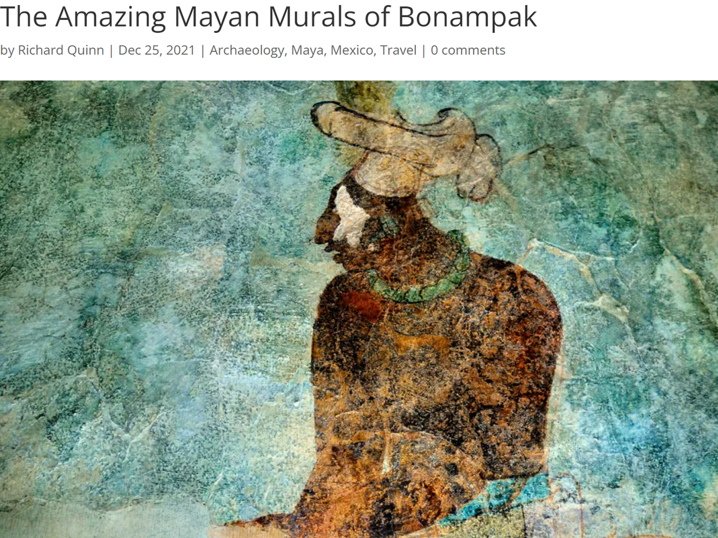
The Amazing Mayan Murals of Bonampak
Out of that handful of Mayan sites where mural paintings have survived, there is one in particular that stands head and shoulders above the rest. One very special place. Down by the Guatemalan border, in a remote corner of the Mexican State of Chiapas: a small Mayan ruin known as Bonampak.
<<CLICK to Read More!>>
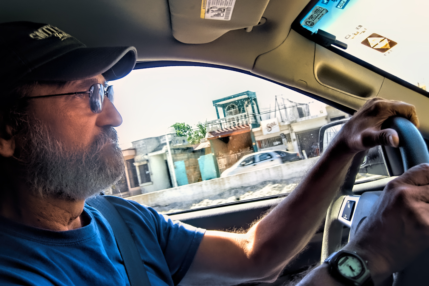
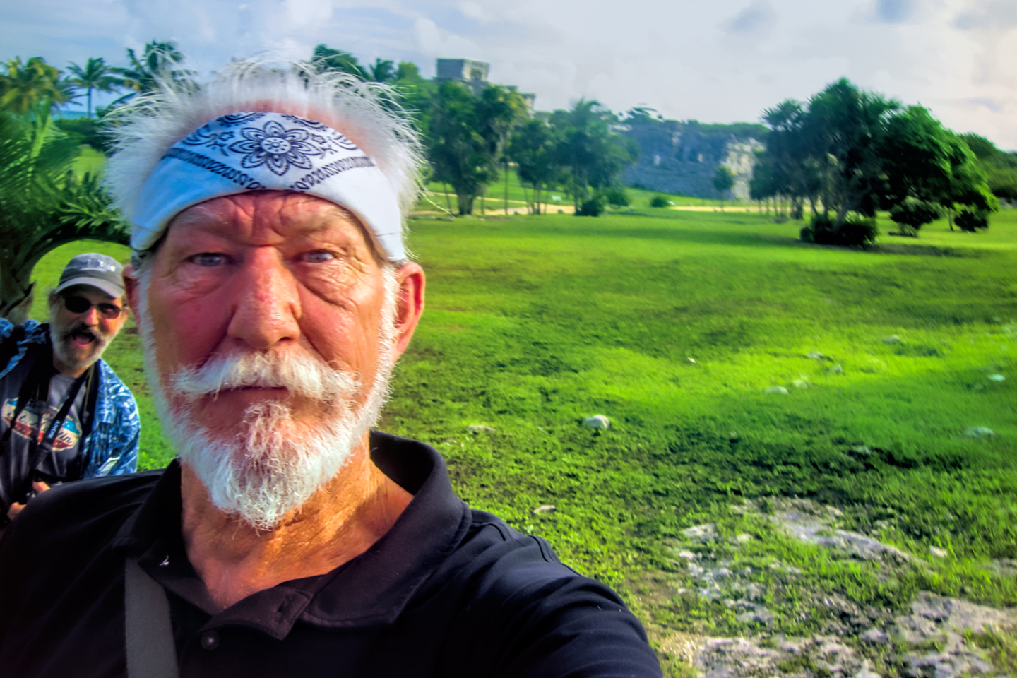
This series of posts is dedicated to my old friend Mike Fritz (aka Mr. Whiskers), my shotgun rider on my Mexican Road Trip. "Drive to the Yucatan and See Mayan Ruins" was at the top of my post-retirement bucket list, right after "Drive the Alaska Highway and see Denali." We checked off the whole Yucatan thing in a major way, and Mike was a heck of a good sport about it.
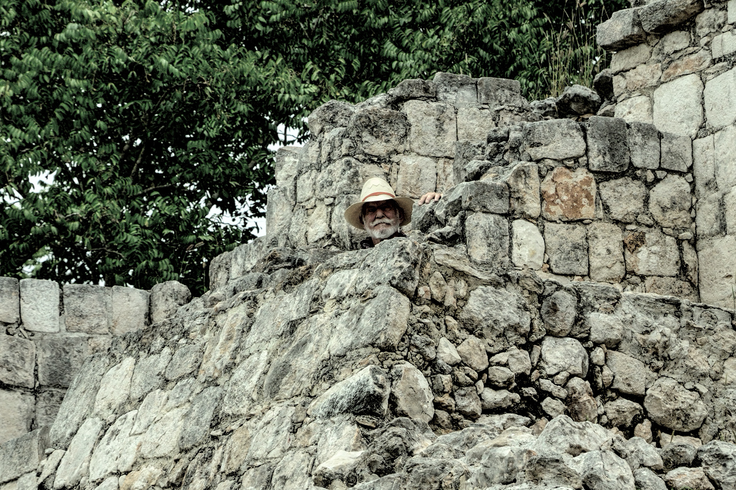
Michael passed away in February of 2025, after 75 years of a life well-lived. He was unique, and he'll be missed.
Michael Fritz ("Elmo") 1949-2025
There's nothing like a good road trip. Whether you're flying solo or with your family, on a motorcycle or in an RV, across your state or across the country, the important thing is that you're out there, away from your town, your work, your routine, meeting new people, seeing new sights, building the best kind of memories while living your life to the fullest.
Are you a veteran road tripper who loves grand vistas, or someone who's never done it, but would love to give it a try? Either way, you should consider making the Southwestern U.S. the scene of your own next adventure.











Recent Comments